
Place · 1.9 mi away
Challenging
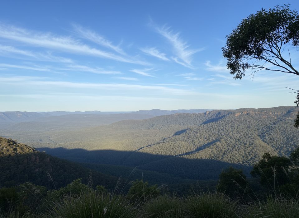
Kedumba Pass drops off the Wentworth Falls plateau into the Jamison Valley, serving up a big, steady descent on mostly fire trail before opening to grassy flats by the Kedumba River. It’s a classic Blue Mountains grunt: expect a long, steep haul back out. Distance is roughly 8.7 miles (14 km) one way, with about 1,300–1,500 feet (400–450 m) of continuous climbing if you’re exiting to the plateau.
On the way down, you’ll move through eucalypt forest with occasional glimpses of the surrounding cliff lines—think fleeting but rewarding views rather than a constant lookout. Down on the valley floor the scenery opens up: broad grassy flats along the Kedumba River, big views to Mount Solitary and the escarpment above, and the quiet feel you came for. Near the river crossing, keep an eye out for remnants of the old Maxwell Farm—this is a landscape with history baked in. Kangaroos are common around the campground area.
The track is predominantly wide fire trail—easy to follow but not technical. It’s steep for long stretches, so strong knees for the descent and solid cardio for the return are mandatory. The valley floor can be hot and exposed, and in warm months the flies can be relentless. If you’re after remote vibes and a hard effort, it delivers; if you need singletrack variety or frequent lookouts, you may find it monotonous.
This is best for experienced, fit hikers who are comfortable with sustained gradients in a remote setting. The remoteness plus the heat on the valley floor raise the commitment level. Treat it as a serious day out or fold it into a multi-day linking other Jamison Valley routes.
Spring and autumn are the sweet spot: milder temps for both the climb and the exposed valley. Summer can be a furnace down low with little shade; winter is fine for the climb but expect cold nights if camping.
Carry plenty of water (at least 3 liters per person). The Kedumba River is the only reliable source—treat before drinking. Navigation is straightforward on the main trail, but a topo map and compass or GPS add confidence if you’re extending the trip. The Kedumba River Crossing campground is remote with basic facilities (toilets, picnic tables, BBQs) and no drinking water; bookings are required and there’s a booking fee. Sun protection, insect repellent, and layers for fast-changing weather are essential. Leave a trip intention and consider carrying a PLB from the Blue Mountains Heritage Centre.
No verified trailhead parking details in the available research. Plan a drop-off/pick-up at the Wentworth Falls plateau/Kings Tableland end and confirm access/closures with park resources before you go.
Sustained steep grades both ways; heat and exposure on the valley floor; limited water (river only—must treat); remote setting with limited help; surfaces can be slippery after rain. Leave intentions and consider a PLB.
Place · 1.9 mi away

Place · 2.1 mi away
Place · 2.6 mi away
Place · 2.7 mi away
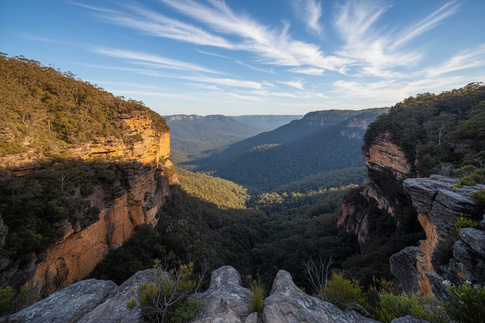
Moderate · 2.9 mi away
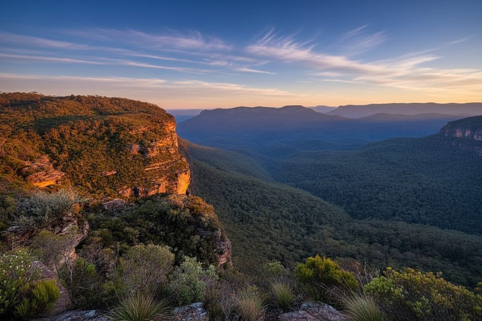
Easy · 2.9 mi away
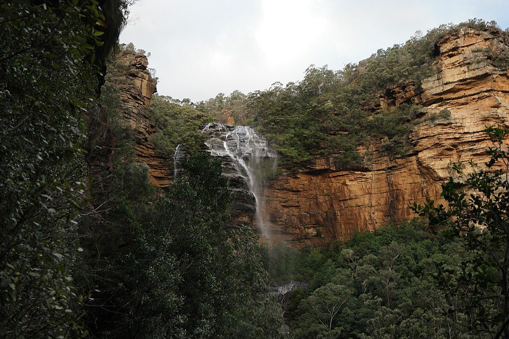
Challenging · 3 mi away
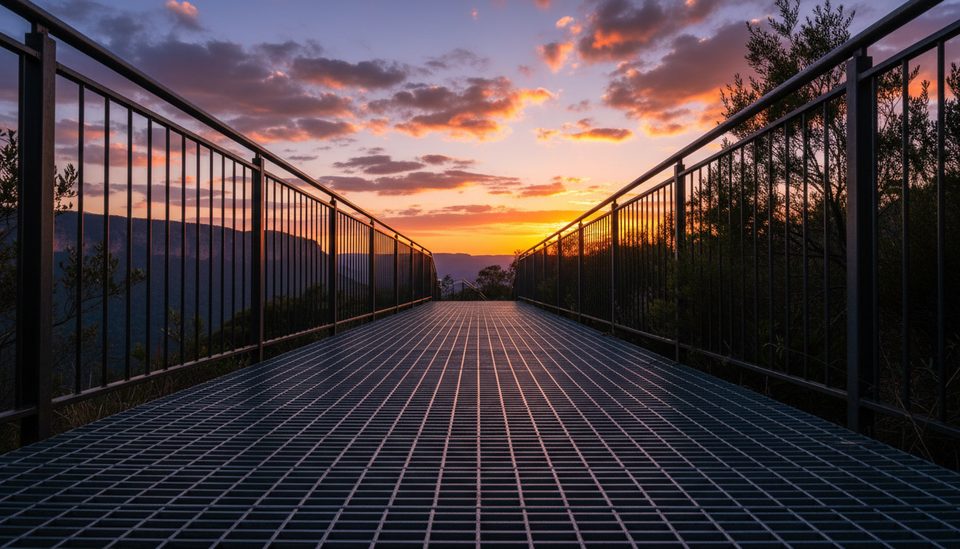
Moderate · 3 mi away

Parkwolf Tour Guide
