
Place · 0 mi away
Moderate
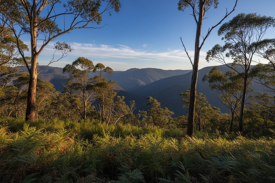
Carlon Creek Track is a short, rugged bushwalk that follows the creek through lush eucalypt forest and ferny gullies. It’s roughly 1.9 miles (3 km) one way from near Dunphy’s Campground and is often used as a connector into bigger wilderness circuits like the Coxs River routes. Expect a genuine Blue Mountains creek-walk vibe: green, shaded, and surprisingly remote-feeling despite the region’s popularity.
This is a creek track through and through—you’ll crisscross Carlon Creek multiple times, and water levels vary with recent rain. After wet spells, sections turn muddy and slippery; in drier periods, the route can be scratchy and overgrown with some light bush-bashing. The upper section includes a steep, overgrown management trail climb to the stile near Dunphy’s Campground. Navigation is generally straightforward but can blur in places after floods or low use, so carry a map or GPS.
The corridor stays cool and green with dense creekside vegetation and tall ferns beneath eucalypts. Birdlife is active along the water, and walkers occasionally spot goannas moving through the undergrowth. It’s notably quieter than the tourist-heavy lookouts and clifftops, offering a more immersive bushwalking feel.
Carlon Creek is famously home to stinging nettles—long pants are not optional unless you enjoy tingling shins. With frequent crossings, plan for wet feet; waterproof boots or carry sandals for wades. Leeches are more likely in warm, wet spells. After rain, expect mud and slick rock; take care underfoot and treat all creek water before drinking.
Plan for about 1.5–2.5 hours one way depending on conditions and creek levels, or roughly 3–5 hours return. Start early for cooler temps and to give yourself time if the track is overgrown.
Spring and autumn are the sweet spot: comfortable temps, fewer leeches than in wet summers, and wildflowers around. Summer can feel hot and humid in the gullies, especially after rain. Winter is viable but can be cold and boggy—layer up and expect slow, careful footing.
If you like quieter, scruffier creek walking with a bit of adventure—and you’re nettle-tolerant—this is a rewarding slice of the Blue Mountains. If you want manicured paths and big cliff views, pick a different track. As a connector into longer classics, it’s a solid, characterful approach that sets the tone for a bigger trip.
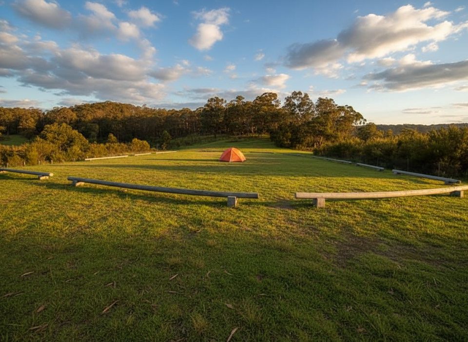
Park at or near Dunphy’s Campground; the track begins by the stile and follows the creek downstream.
Frequent creek crossings, slippery mud after rain, stinging nettles, occasional leeches, and overgrown sections can make navigation tricky—carry a map or GPS and treat creek water before drinking.
Place · 0 mi away
Place · 0.6 mi away
Place · 2.5 mi away
Place · 3.1 mi away
Challenging · 4.9 mi away
Challenging · 4.9 mi away
Moderate · 5.6 mi away
Easy · 5.7 mi away

Parkwolf Tour Guide
