
Place · 1.9 mi away
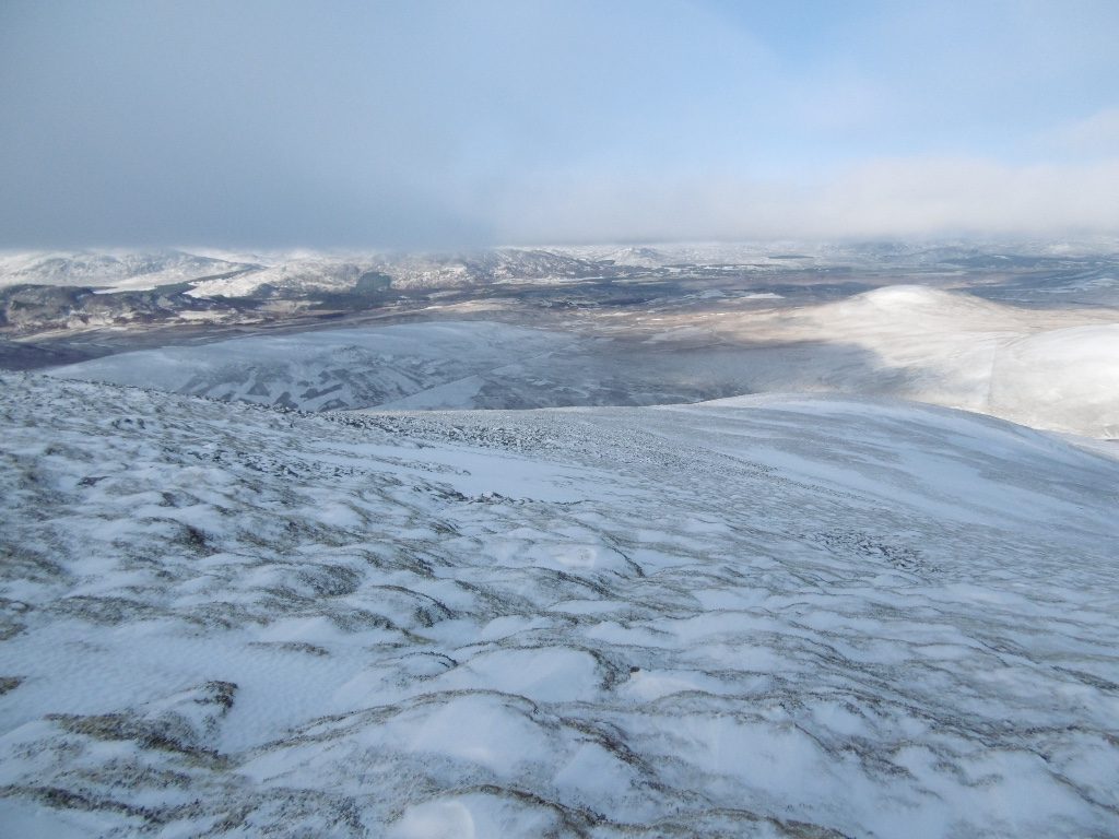
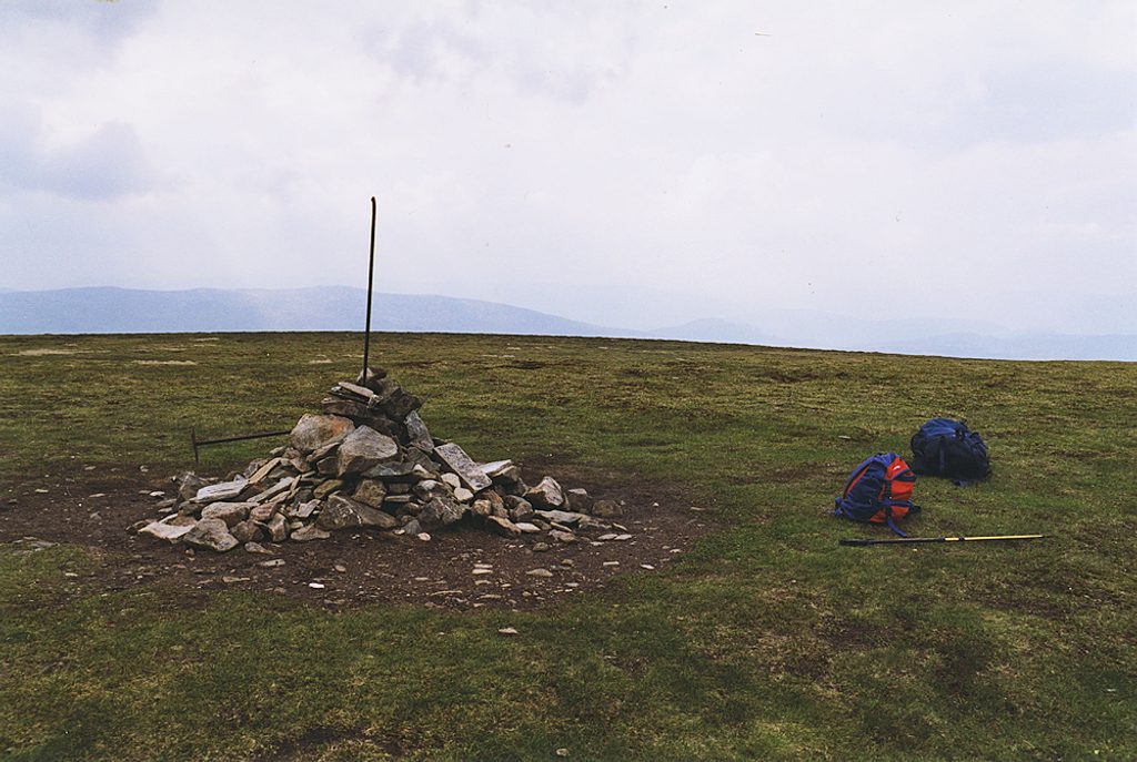
Meall Chuaich (951 m) sits on the edge of the Drumochter corridor and is often picked as a first Munro thanks to its uncomplicated ascent. It won’t wow you on the way up, but its isolated position makes the summit a cracking viewpoint, with a big cairn and sweeping vistas in all directions.
Most walkers start from a layby on the A9 near Dalwhinnie and follow a good track past a loch and hydro works before turning onto the hill. The path bypasses the subsidiary top of Stac Meall Chuaich, then climbs a broad dome where the upper slopes become wider and stonier underfoot. Expect the lower ground near the water to feel boggy after rain. In fair weather it’s straightforward; in clag the broad, grassy slopes can be confusing, so bring a map and compass. Typical round-trip time is 3.5–5 hours, depending on pace and conditions.
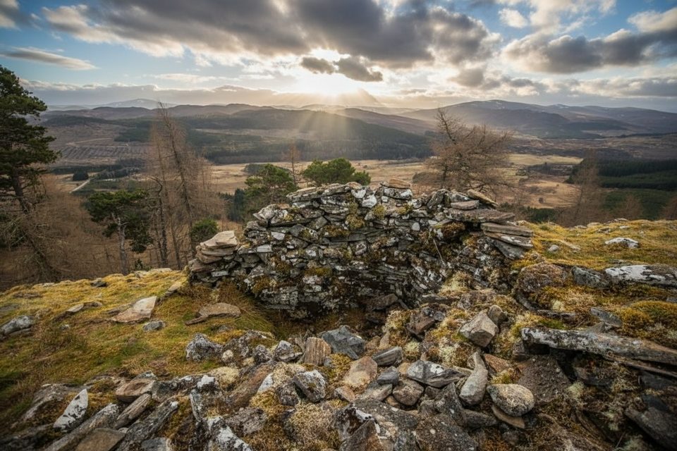
The payoff comes up top: expansive views north over Badenoch and Strathspey, with the Cairngorms skyline to the northeast and the more featureless plateaux of Drumochter and Gaick to the south and east. On clear days you’ll tick off a long list of surrounding Munros from this vantage point.
Typical upland life is around if you’re observant: red grouse in the heather, mountain hares, red deer on the higher ground, and the occasional raptor working the ridges.
This is a self-sufficient day out: there are no toilets, water, food, or shops at the start or on the route. Parking is the roadside layby that doubles as the trailhead. Nearest services are in Dalwhinnie or Newtonmore.
Pick a clear, calmer day to make the most of the summit panorama. After wet spells, expect boggier lower sections; after drier periods, the approach is cleaner underfoot. It’s an exposed hill, so always check the forecast and be ready for rapid changes.
Place · 1.9 mi away
Place · 3.6 mi away
Place · 3.7 mi away
Place · 4.3 mi away
Easy · 3.6 mi away
Easy · 7 mi away
Moderate · 7 mi away
Moderate · 8.1 mi away

Parkwolf Tour Guide
