Parking
Parking is very limited at the Polmuir Road entrance to Duthie Park in Aberdeen. This is a one-way route to Ballater, so plan transport back before starting.
Cairngorms National Park, SC
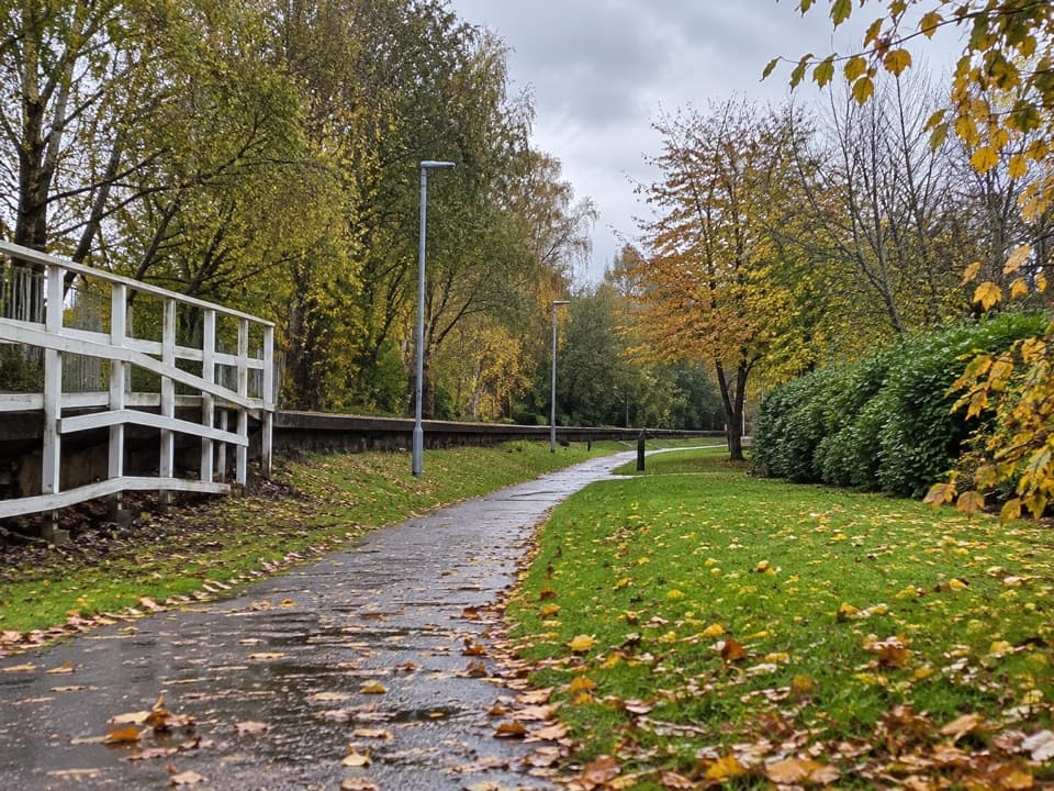
An old railway line links Aberdeen to Ballater in four stages.
Overview
Map & elevation
Plan your hike

The highest, rockiest slopes around here are a summer buffet for grizzly bears.
Cairngorms Tour Guide
Parkwolf is a GPS audio tour guide for Cairngorms National Park. As you drive, it chimes in with what’s ahead: hidden gems, upcoming stops, history, geology, and wildlife, right through your car’s speakers.
See the Cairngorms audio tour“Fantastic app with many points of information… It’s great to just turn on while you’re driving and it gives you an audio tour of the national Park. We love it!!!!”


Trail guide
The Deeside Way is a point-to-point path from Duthie Park in Aberdeen to Ballater, mostly following the old railway through river towns and farmland. It is about 43.7 miles (70 km) one way and usually split into four stages, with roughly 15 to 17 hours of walking in total. Only the final Dinnet-to-Ballater section is inside the Cairngorms National Park, so this is a long-distance route with a park finish, not a park circuit. The old railway makes much of it level and straightforward, but the distance and one hillier middle section call for several days and planned transport.
Start at the Polmuir Road entrance to Duthie Park and take the ramp onto the former railway. The first section winds through Aberdeen’s suburbs past old station sites at Holburn, Pitfodels, Cults and Murtle, then reaches open ground and farmland. At Milltimber the route leaves the railway briefly, uses residential roads and crosses the A90 before joining the track again. Drumoak to Banchory is mostly easy walking, with the path coming close to the Dee near Peterculter. Much of this corridor is shared with cyclists, so listen for bells and give people room to pass.
Banchory to Aboyne is the longest stage: 23.8 km (14.8 miles), about 430 m of ascent and five to five and a half hours. It leaves the flat railway line and climbs through woodland below Scolty Hill, with occasional openings toward the Dee. At Potarch, the route crosses the river on an arched bridge built in 1814 to Thomas Telford’s design, then follows river and road-side paths toward Kincardine o’ Neil. Its old stone houses and the ruins of St Mary’s Church, first built in the 1200s, make a natural pause before the undulating farmland and woods beyond. The last kilometres into Aboyne are not formally waymarked as the Deeside Way and can be muddy; keep the stage directions handy.
The final 17.8 km (11 miles) takes about three and a half to four hours and is mostly level on the former railway, though some gravelly stretches are uneven and the A93 is often nearby. From Aboyne, follow the signed route across the road and back to the old line. It passes Dinnet’s former station among tall pines, then birch and heather around Muir of Dinnet. At Cambus o’May, the white suspension bridge crosses the Dee at the site of an older ferry; the main route stays on the railway path, so don’t cross the bridge unless you’re taking a separate riverside detour. The path continues toward Ballater with open views of the mountains and, on a clear day, Lochnagar. It ends at the old station, now a café and information centre. For a photo, include the bridge and river together so the span has some scale.
The Deeside Line opened in 1853 and ran until 1966. Its old stations explain the route’s unusually long, level stretches, while the remains at Cults and the pines around Dinnet give the railway history a physical setting. Murtle’s former station served a hydropathic hotel opened in 1899, later used as a tuberculosis hospital. Near Ballater, an optional detour to Tullich churchyard adds carved Pictish and medieval stones and the remains of a church believed to have stood there since the seventh century.
This is a one-way walk, so arrange your return journey before setting out. Parking at the Polmuir Road entrance is very limited. Duthie Park has a café and toilets, and cafés, shops and other services recur in the towns and villages along the route; the café at Cambus o’May is seasonal. Dogs may accompany walkers under Scotland’s outdoor access rules, but keep them under proper control around livestock, wildlife and other path users.
Wildlife
 159 sightingsRed DeerMost seen around 7 AMSighting map
 63 sightingsReindeerMost seen around 6 PMSighting map
 102 sightingsOspreyMost seen around 5 PMSighting map
 37 sightingsBlack GrouseMost seen around 4 AMSighting map
 72 sightingsRed GrouseMost seen around 6 PMSighting map
 82 sightingsPine MartenMost seen around 9 PMSighting map
Sighting maps show where each species has been reported across Cairngorms. Wildlife moves, so no sighting is guaranteed.
Parkwolf’s Cairngorms ranking

The audio tour guide for the drive, plus offline maps, trails, and wildlife heatmaps for when the signal drops.





