Parking
Use the Balmoral Estate car parks at the end of the public road up Glen Muick, then follow the track to Spittal of Glen Muick. Parking is paid and can fill early on busy weekends; no public transport serves the start.

#6 of 260 trails in Cairngorms
Cairngorms National Park, SC
A long lochside loop past Queen Victoria's quiet retreat.
Overview
Loch Muick Circuit is a full 7.75-mile (12.5 km) loop from the Spittal of Glen Muick car parks, following the loch shore and estate tracks back to the start. It is a long walk with little sustained climbing—about 170 m of ascent—rather than a mountain route. Allow three to three and a half hours walking, or around four with breaks. Most of the way is straightforward, but a narrower, rocky stretch on the south-east shore slows the circuit down. Go for a proper half-day beside the water, the views of the surrounding hills and Glas-allt Shiel; it is a lot of walking if you only want a quick lochside stop.
 Parkwolf’s verdictIs this the hike for you?
Map & elevation
Plan your hike

The highest, rockiest slopes around here are a summer buffet for grizzly bears.
Cairngorms Tour Guide
Parkwolf is a GPS audio tour guide for Cairngorms National Park. As you drive, it chimes in with what’s ahead: hidden gems, upcoming stops, history, geology, and wildlife, right through your car’s speakers.
See the Cairngorms audio tourRecorded for this trailhead
Loch Muick from Spittal“You're approaching Spittal of Glen Muick, the road end for walking to Loch Muick.”
Plays as you drive up to this trailhead in the Parkwolf Cairngorms Tour Guide.
More stories near here in the app
“Fantastic app with many points of information… It’s great to just turn on while you’re driving and it gives you an audio tour of the national Park. We love it!!!!”


Trail guide
Park at the end of the public road up Glen Muick and follow the track to the small visitor centre, toilets and vehicle barrier. Cross the River Muick by bridge; there are picnic tables on the far side. At the first building at Allt-na-guibhsaich, turn left onto the circuit. The right-hand branch heads toward Lochnagar, a much bigger mountain walk. The car parks are paid and can fill early on busy weekends, and there is no public transport to the start.
The track passes a stone boathouse before it skirts the water. A path across the loch's end offers a shorter version if you do not want the full circuit. Keep to the higher track for the complete loop; it passes a deer fence around ground where heather has been burned to encourage woodland regeneration. Glas-allt Shiel appears among the pines on the shore. Queen Victoria had the present lodge built in 1868 after Prince Albert's death, as a quieter retreat from Balmoral. She had ridden to the nearby falls ten years earlier.
Past the lodge, the trees open onto the loch head. Keep left at the fork and follow the water over several small wooden bridges, past sandy shore pockets that make good places to stop, then round the head on a narrower path through heather. The route climbs to a bridge and joins a broader track on the other side. For the photo, include some of the loch and shoreline with Glas-allt Shiel across the water; a tight crop of the hills loses the sense of the place.
The circuit is mostly broad gravel or estate track, but walkers describe a distinctly narrower, rocky section near the south-east corner. Expect to watch your footing there, especially if the ground is wet. The climb is modest, though the full distance adds up. From the return track, look back across the water toward the lodge and Broad Cairn above the loch. The signed Capel Mounth track branches away toward Glen Clova; it was once used to drive cattle to lowland markets.
The Spittal visitor centre and public toilets are at the start. No drinking-water point or food stop was found on the circuit. Balmoral Castle's seasonal restaurant is a separate drive away, not part of this walk.
Wildlife
 159 sightingsRed DeerMost seen around 7 AMSighting map
 63 sightingsReindeerMost seen around 6 PMSighting map
 102 sightingsOspreyMost seen around 5 PMSighting map
 37 sightingsBlack GrouseMost seen around 4 AMSighting map
 72 sightingsRed GrouseMost seen around 6 PMSighting map
 82 sightingsPine MartenMost seen around 9 PMSighting map
Sighting maps show where each species has been reported across Cairngorms. Wildlife moves, so no sighting is guaranteed.
Keep exploring
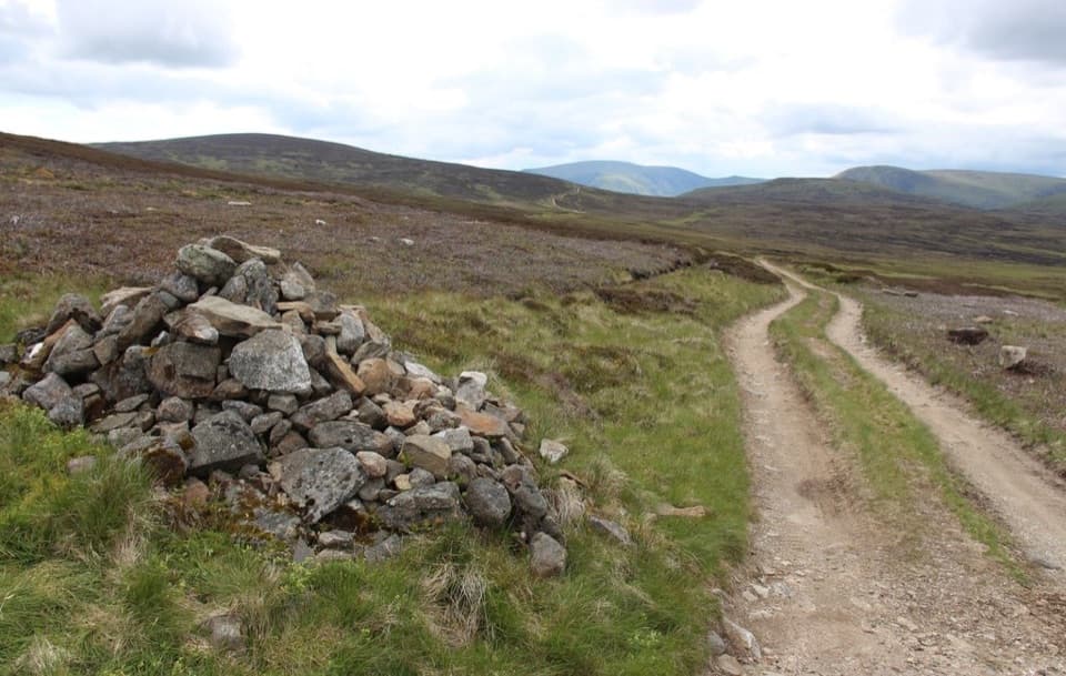 ModerateCapel Mounth10.5 km · 3.5 hr · At the trailheadA high old pass linking Loch Muick with Glen Clova.
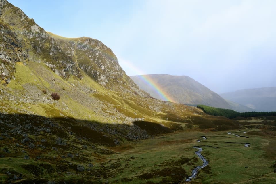 ModerateCorrie Fee Trail7 km · 2.5 hr · 9.4 km awayA steady climb opens onto a glacial bowl and waterfall.
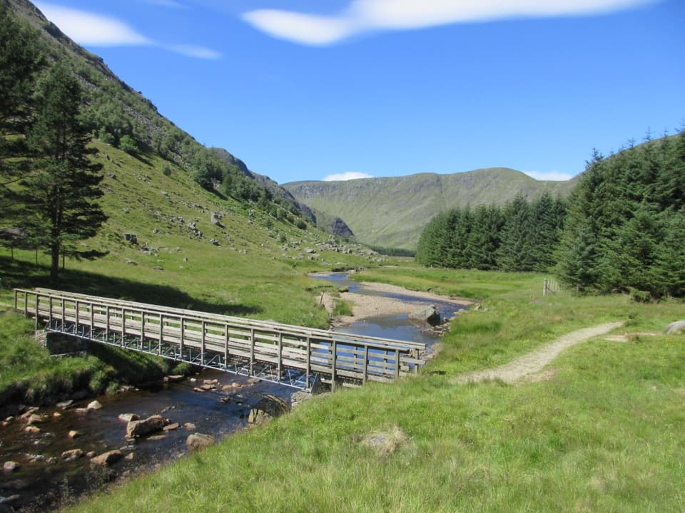 ModerateSouth Esk Trail3.4 km · 1 hr · 9.4 km awayA short loop beside the South Esk, with open Glen Clova views.
 ModerateDounalt Trail8.4 km · 3 hr · 9.4 km awayFollow White Water through larches, then return along Jock’s Road.ChallengingMayar and Driesh Circuit15.4 km · 6 hr · 9.4 km awayTwo Munros by a glacial corrie, waterfall, and open plateau
 ModerateWhite Water Trail4 km · 1.5 hr · 9.4 km awayA short riverside loop crossing a footbridge in Glen Doll.
 ModerateBalmoral Cairns Walk9.7 km · 2.8 hr · 10.8 km awayA hill circuit linking royal cairns, pine paths and a stone pyramid.
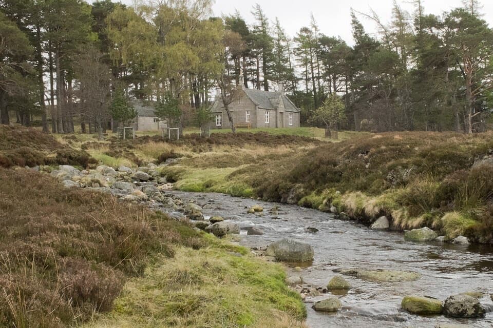 ChallengingConachcraig and Gelder Shiel Loop22.1 km · 6.5 hr · 10.8 km awayA roughly 14-mile Balmoral loop to a bothy and two rocky summits.
 Visitor center · 0.2 km awaySpittal of Glen Muick Visitor CentreA handy information stop before walking up Glen Muick.Sight · 3.2 km awayLoch MuickA mountain loch with a full shore circuit and a royal retreat.
 Visitor center · 9.4 km awayGlen Doll Ranger BaseGlen Doll’s ranger base for forest walks and the Corrie Fee route.
 Sight · 9.7 km awayPrince Albert’s CairnA stone pyramid rewards a steep walk above Balmoral.
 Sight · 9.7 km awayRoyal Lochnagar DistilleryA working distillery with royal history and cask tastings.
 Sight · 10.2 km awayLoch BrandyA high corrie loch worth the steep climb from Glen Clova.
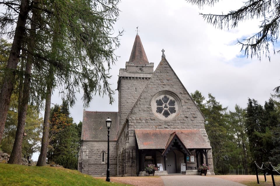 Sight · 10.8 km awayCrathie KirkA royal parish church above the Dee, near Balmoral.
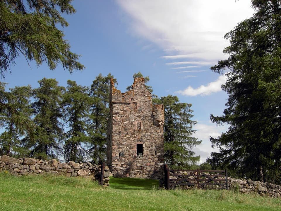 Sight · 10.8 km awayKnock CastleA roofless Gordon tower above Ballater, with a surviving spiral stair.
Parkwolf’s Cairngorms ranking
The audio tour guide for the drive, plus offline maps, trails, and wildlife heatmaps for when the signal drops.





