Parking
Loch an Eilein car park, at the end of the estate access road; start from the signed path at the far end of the lot. The narrow access bridge is unsuitable for coaches, motorhomes and caravans.

#1 of 260 trails in Cairngorms
Cairngorms National Park, SC
A three-mile lochside loop through pines and past an island castle
Overview
Map & elevation
Plan your hike

The highest, rockiest slopes around here are a summer buffet for grizzly bears.
Cairngorms Tour Guide
Parkwolf is a GPS audio tour guide for Cairngorms National Park. As you drive, it chimes in with what’s ahead: hidden gems, upcoming stops, history, geology, and wildlife, right through your car’s speakers.
See the Cairngorms audio tourRecorded for this trailhead
Loch an Eilein and its Island Castle“Up ahead is Loch an Eilein, with a ruined stone castle on a wooded island. A short walk from the visitor area reaches the shore, so you can enjoy the castle view without walking the whole circuit.”
Plays as you drive up to this trailhead in the Parkwolf Cairngorms Tour Guide.
More stories near here in the app
“Fantastic app with many points of information… It’s great to just turn on while you’re driving and it gives you an audio tour of the national Park. We love it!!!!”


Trail guide
This is a low-level 3.1-mile (5 km) loop from Loch an Eilein car park, following shore paths around the water through Scots pine woodland. The estate gives the circuit as about 3 miles and 1–1.5 hours; the connected line of mapped paths is about 3.5 miles, so treat the published distance as rounded and follow local waymarks at forks. The full circuit is the main attraction: the view changes along the water, pines open and close around the shore, and the ruined island castle comes into view near the car-park side. It is an easy outing rather than a hill walk, and wildlife stops or photos can stretch the visit.
Start from the signed path at the far end of the car park. After the interpretation panels, go through the gap in the wall and turn left for the clockwise circuit; the right-hand path is a short detour to the shop and toilets. The route follows the shore, crosses the loch outflow on a small footbridge, then rises gently through the pines. Pass a white cottage and a gate before a fork signed for Lairig Ghru and Glen Einich; keep right to stay on the lochside circuit. A little farther on, take the straight-ahead continuation where a left branch leads toward Loch Gamhna. That separate extension is often muddy and adds roughly 45 minutes; it is not part of this loop.
The stone ruin on the wooded island is the route’s defining view. It was built as a place of refuge during clan conflicts and is usually described as medieval, though written accounts differ on whether its origin was in the 13th or late 14th century. The castle saw soldiers pass the loch in 1644, and Jacobite survivors briefly attacked it in 1690. A submerged causeway is part of local legend, but evidence for one has not been found. The path stays on the shore, so enjoy the castle from different angles as the trees and water frame it.
Rothiemurchus’s native pine forest is a major part of the walk, with water, wooded shore and hills repeatedly appearing between the trees. Red squirrels, Scottish crossbills and crested tits live here; feeders by the car park can also attract squirrels and crested tits. In summer, ospreys may occasionally scout the loch for fish, but sightings are never guaranteed. Pause quietly at the water and look into the trees rather than expecting wildlife to appear on demand. Keep dogs under control around other visitors and wildlife, especially ground-nesting birds.
The route uses well-established low-level paths and footbridges, with no summit climb or scramble on the loch circuit. Some walking routes in the estate are shared with cyclists and other users, so take care at junctions and give way where the track narrows. Toilets and a shop are a short detour near the start; the farm shop and café farther up the estate are separate stops. The attended car park is at the end of the estate road. Its narrow access bridge is unsuitable for coaches, motorhomes and caravans, and the shared road also carries walkers and cyclists.
Wildlife
 159 sightingsRed DeerMost seen around 7 AMSighting map
 63 sightingsReindeerMost seen around 6 PMSighting map
 102 sightingsOspreyMost seen around 5 PMSighting map
 37 sightingsBlack GrouseMost seen around 4 AMSighting map
 72 sightingsRed GrouseMost seen around 6 PMSighting map
 82 sightingsPine MartenMost seen around 9 PMSighting map
Sighting maps show where each species has been reported across Cairngorms. Wildlife moves, so no sighting is guaranteed.
Keep exploring
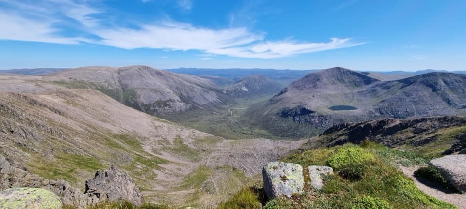 ChallengingBraeriach Circuit from Whitewell26.9 km · 9.5 hr · 1.9 km awayA full-day circuit over corrie rims and a rough glen return
 ModerateBeaver Trail, Rothiemurchus7 km · 2.3 hr · 2.5 km awayWatch for beaver signs, then detour for Loch an Eilein’s ruined castle.
 ChallengingLairig Ghru30.6 km · 10 hr · 2.8 km awayA full Cairngorms crossing over a rough, remote pass.
 EasyRothiemurchus Forest and the Iron Bridge7.6 km · 2 hr · 2.8 km awayA gentle pinewood loop to a 1912 bridge over the Am Beanaidh.
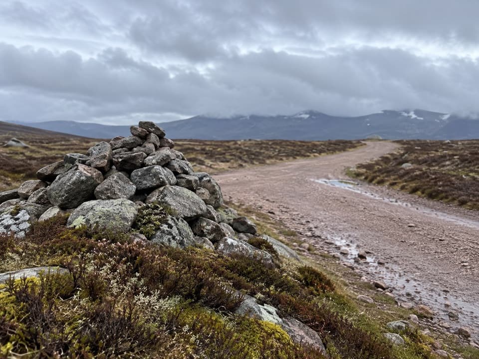 ModerateGeal-charn Mòr from Lynwilg12.5 km · 4 hr · 3.3 km awayA summit circuit with Cairngorm views and a boggy moorland return.
 EasyAviemore Orbital7.2 km · 2.5 hr · 3.4 km awayA gentle Aviemore loop through woods, town paths and the Spey
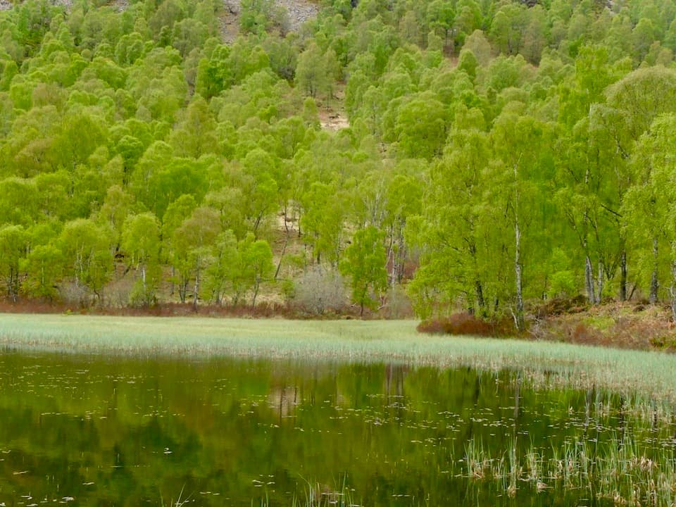 ChallengingBuzzard Trail1.8 km · 1.1 hr · 3.4 km awayA steep woodland loop above Craigellachie’s old reservoir.
 ChallengingViewpoint Trail, Craigellachie4.4 km · 2.5 hr · 3.5 km awayA sustained birchwood climb with wide views over Aviemore.Sight · 0.2 km awayLoch an EileinAn island castle makes this easy loch loop memorable.
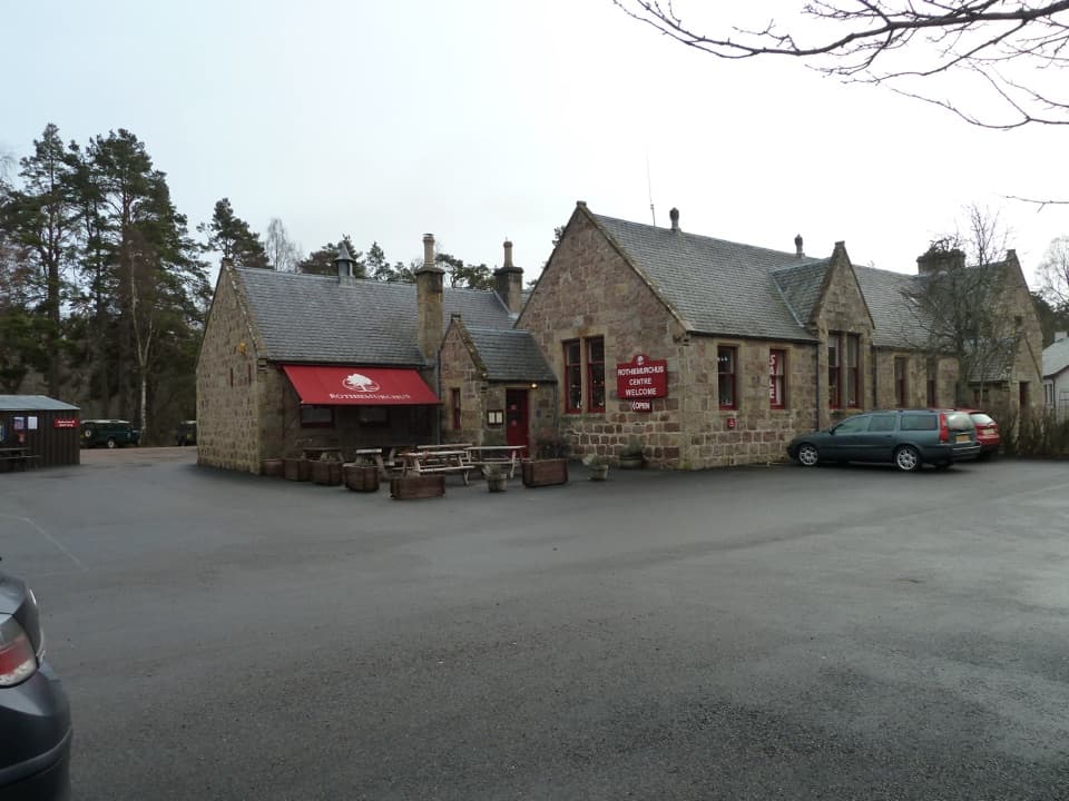 Visitor center · 2.5 km awayRothiemurchus CentreCoffee, estate food and a handy start to local walks.
 Campground · 2.8 km awayRothiemurchus Camp and Caravan ParkA pinewood base for tents, caravans and nearby walks.
 Sight · 3.8 km awayStrathspey RailwayA vintage train runs through Speyside to TV-famous Broomhill.
 Campground · 3.9 km awayDalraddy Holiday ParkA forested camping base with Thai food and activity options.
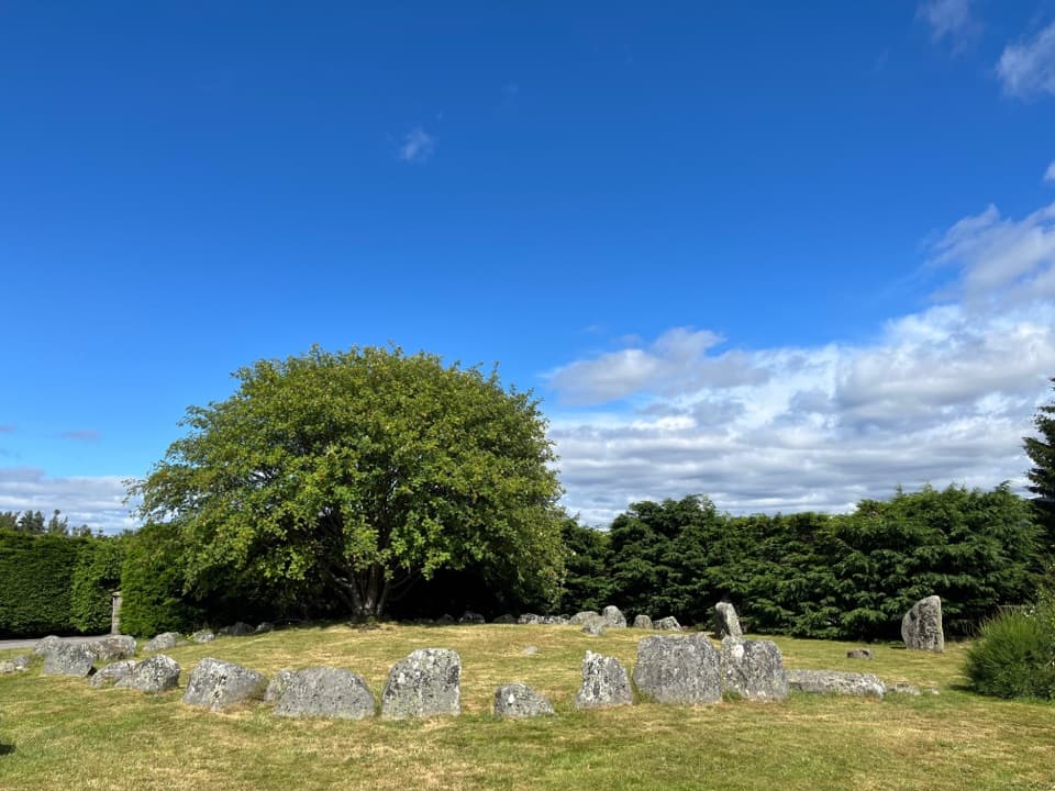 Sight · 5 km awayAviemore Ring Cairn and Stone CircleA small prehistoric circle in Aviemore’s unexpected village setting.
 Sight · 5.2 km awayCairngorm BreweryA small Aviemore taproom for trying local ales and taking favourites home.
 Campground · 6.4 km awayOakwood Caravan & Camping ParkOak-shaded camping, with Aviemore a 20–30-minute walk away.
Parkwolf’s Cairngorms ranking

The audio tour guide for the drive, plus offline maps, trails, and wildlife heatmaps for when the signal drops.




