Parking
Start at the charge car park at Loch Morlich Beach. Toilets, accessible toilets, a picnic area and Blue Badge parking are there; other Glenmore car parks line the lochside road but change the walk.

#4 of 260 trails in Cairngorms
Cairngorms National Park, SC
Sandy shores and Cairngorm views on a low-climb lochside loop.
Overview
Map & elevation
Plan your hike

The highest, rockiest slopes around here are a summer buffet for grizzly bears.
Cairngorms Tour Guide
Parkwolf is a GPS audio tour guide for Cairngorms National Park. As you drive, it chimes in with what’s ahead: hidden gems, upcoming stops, history, geology, and wildlife, right through your car’s speakers.
See the Cairngorms audio tourRecorded for this trailhead
Loch Morlich Beach“Loch Morlich Beach is coming up, a sandy freshwater shore backed by pinewoods, with mountains across the water.”
Plays as you drive up to this trailhead in the Parkwolf Cairngorms Tour Guide.
More stories near here in the app
“Fantastic app with many points of information… It’s great to just turn on while you’re driving and it gives you an audio tour of the national Park. We love it!!!!”


Trail guide
Loch Morlich Trail is the red-waymarked 3.5-mile (5.8 km) loop around the loch, starting at Loch Morlich Beach car park. Allow about two hours; the route climbs roughly 50 metres in total. It suits a day for pinewoods, sandy shoreline and mountain views rather than a summit. Forestry and Land Scotland grades it moderate. Most of the walk uses broad gravel or earth paths and stays fairly level, but one steep ramp, some uneven or muddy ground, and two road crossings make it more than a promenade.
Walk through the Beach car park and follow the red markers into the trees, past the right side of the wooden toilet block. The sand is close by, so a short beach detour is easy, but rejoin the markers for the full circuit. A small wooden bridge comes early. Keep watching for the red route at junctions; the paths along the shore can tempt you into a shorter wander that does not circle the loch.
There is a separate, shorter Beach Trail from the same car park: 1.5 miles (2.4 km), about an hour. It is a good fallback when you want the woods and sand without the full loop, but it is not the route mapped here.
The first stretch meanders through pine, birch and alder, with Loch Morlich's golden sand nearby. The path reaches a fast-flowing burn near its mouth and crosses it by bridge, then continues through woodland and marked junctions. On the far side of the loop, a wide forestry track makes the walking more straightforward, with several places to step down to the water. A small ford has a wooden bridge; at the broad junction, follow the red route toward the green metal bridge rather than taking an unrelated forest track.
Near the sailing club, a larger sandy opening gives the classic view across Loch Morlich to Cairn Gorm and Braeriach. Meall a' Bhuachaille and the Monadhliath appear from other shore openings; in calm weather, the rounded slopes can reflect in the water. For a photograph, keep a strip of sand in the foreground and aim along the shore so the loch, pines and mountain skyline read together. The beach is also notable in its own right: Forestry and Land Scotland describes it as Britain's highest beach and Scotland's only freshwater beach with a Rural Beach Award.
Glenmore's Scots pine woods are a good place to watch for Scottish crossbill and crested tit. On the loch, look for goldeneye or red-throated divers, and scan the water for an osprey fishing; sightings are never guaranteed. Norwegian resistance fighters trained in Glenmore during the Second World War as part of the Special Operations Executive. Forestry and Land Scotland records remnants of practice railway lines near the shore and glass from explosives training in the sand. Treat these as historical traces, not souvenirs, and leave anything you find where it is.
The Beach car park has charged parking, toilets, accessible toilets, a picnic area and Blue Badge parking. Glenmore Visitor Centre has a nearby café, but treat it as a separate stop rather than food service on the shore. Watch for traffic at the two road crossings, take care on the short steep ramp and uneven gravel, and expect muddy patches. Dogs are allowed; from 1 April to 31 August, put them on a lead where signs request it to protect ground-nesting birds.
Wildlife
 159 sightingsRed DeerMost seen around 7 AMSighting map
 63 sightingsReindeerMost seen around 6 PMSighting map
 102 sightingsOspreyMost seen around 5 PMSighting map
 37 sightingsBlack GrouseMost seen around 4 AMSighting map
 72 sightingsRed GrouseMost seen around 6 PMSighting map
 82 sightingsPine MartenMost seen around 9 PMSighting map
Sighting maps show where each species has been reported across Cairngorms. Wildlife moves, so no sighting is guaranteed.
Keep exploring
 EasyBeach Trail, Glenmore2.4 km · 1 hr · At the trailheadA short forest loop to Loch Morlich’s sandy shore.
 ChallengingMeall a’ Bhuachaille Circuit8 km · 4 hr · 0.5 km awayA green lochan, a bothy and a proper hill summit.
 ModerateRyvoan Trail5.6 km · 2.5 hr · 0.5 km awayAncient pinewoods lead to a vividly green woodland lochan.
 ModeratePine Knoll Trail2 km · 45 min · 1 km awayA short loop beneath twisted pines, with wood ants and summer dragonflies.
 ChallengingBynack More from Glenmore22.5 km · 7 hr · 1.5 km awayA long Munro out-and-back to a wide view over Moray.
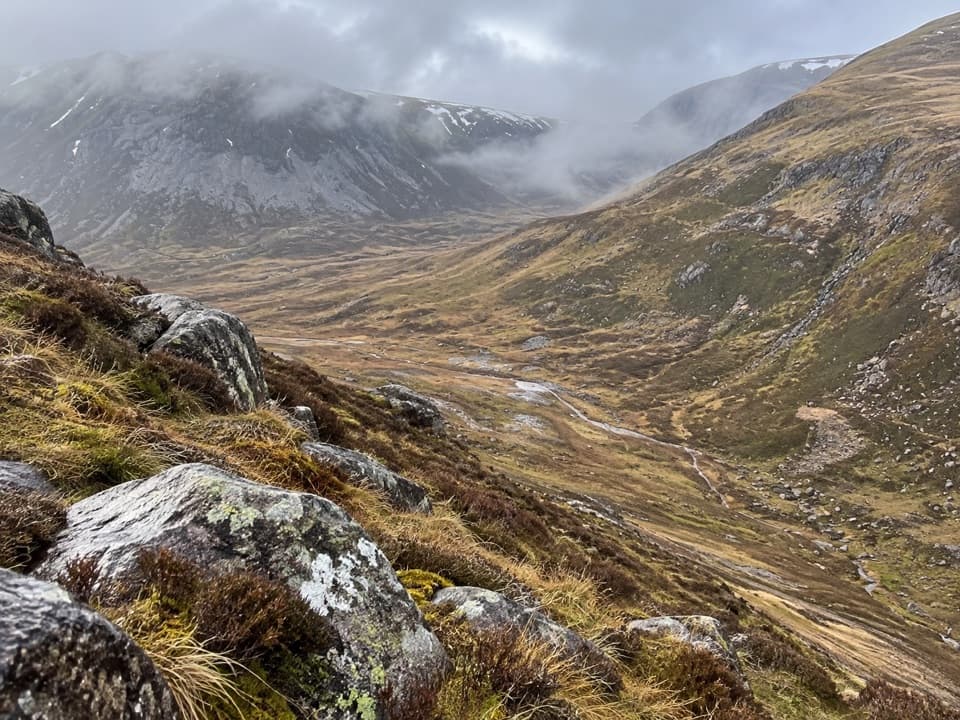 ChallengingLairig an Laoigh30.6 km · 9 hr · 1.5 km awayA remote 19-mile crossing with rough moorland and a serious Avon ford.
 ModerateLodge Trail3.9 km · 1.5 hr · 1.5 km awayPinewoods, a footbridge and dog-grave headstones near the lodge.
 ModerateRyvoan Pass: Glenmore to Nethy Bridge15.7 km · 4.8 hr · 1.6 km awayWalk from Glenmore through the pass to Nethy Bridge.
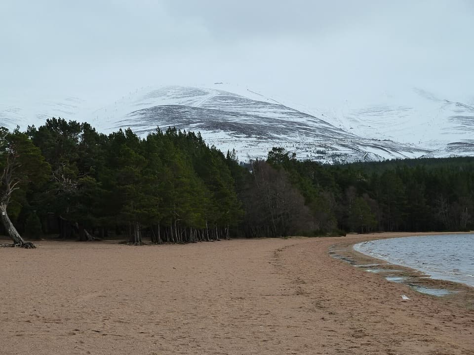 Beach · 0.1 km awayLoch Morlich BeachA sandy freshwater beach with the Cairngorms across the water.
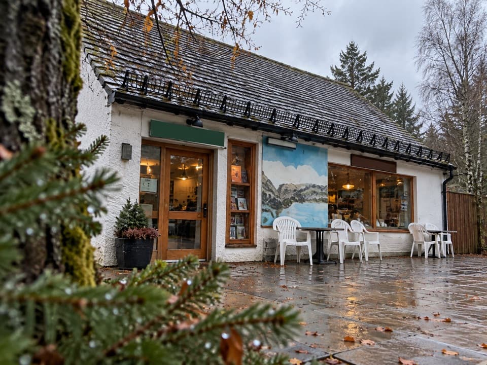 Restaurant · 0.2 km awayThe Pine Marten Bar & ScranAn alpine-style meal stop for hikers, skiers and campers.
 Campground · 0.4 km awayGlenmore CampsitePine-forest camping, with Loch Morlich’s sandy beach a short walk away.
 Visitor center · 0.5 km awayGlenmore Visitor CentreGet local walk advice before choosing your Glenmore route.
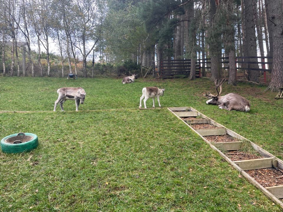 Sight · 0.6 km awayCairngorm Reindeer CentreA mountain walk brings you close enough to hand-feed reindeer.
 Sight · 1 km awayHayfieldA Glenmore stop for a pine-lined walk and snow-day sledging.
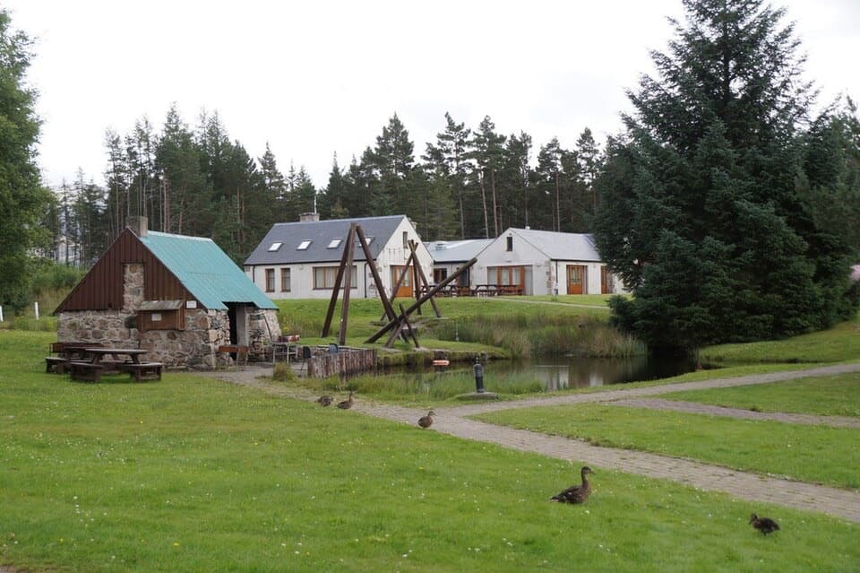 Lodging · 2.2 km awayBadaguish Outdoor CentreA forest base for lodges, heated pods and group camping
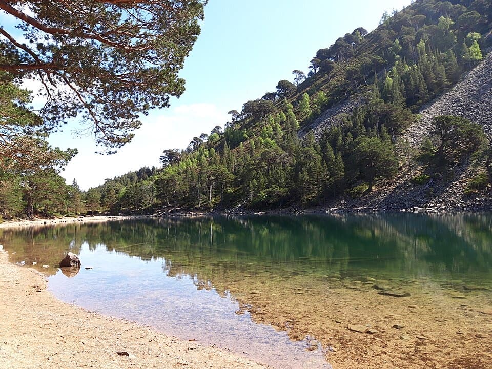 Sight · 2.9 km awayAn Lochan UaineA vivid green loch at the end of a proper woodland walk.
Parkwolf’s Cairngorms ranking

The audio tour guide for the drive, plus offline maps, trails, and wildlife heatmaps for when the signal drops.



