Parking
Start at the paid car park at Glenmore Visitor Centre, postcode PH22 1QU. Nearby Glenmore parking has separate access routes, so a different start changes the loop.

#5 of 260 trails in Cairngorms
Cairngorms National Park, SC
A green lochan, a bothy and a proper hill summit.
Overview
Map & elevation
Plan your hike

The highest, rockiest slopes around here are a summer buffet for grizzly bears.
Cairngorms Tour Guide
Parkwolf is a GPS audio tour guide for Cairngorms National Park. As you drive, it chimes in with what’s ahead: hidden gems, upcoming stops, history, geology, and wildlife, right through your car’s speakers.
See the Cairngorms audio tourRecorded for this trailhead
Glenmore and the Green Lochan“You're approaching Glenmore Visitor Centre, a starting point for the walk to An Lochan Uaine, the Green Lochan.”
Plays as you drive up to this trailhead in the Parkwolf Cairngorms Tour Guide.
More stories near here in the app
“Fantastic app with many points of information… It’s great to just turn on while you’re driving and it gives you an audio tour of the national Park. We love it!!!!”


Trail guide
This 5-mile (8 km) loop starts and finishes at Glenmore Visitor Centre. It climbs through old pinewood to An Lochan Uaine and Ryvoan Bothy, reaches Meall a’ Bhuachaille’s 810 m summit, then returns by a different hillside path. Allow 3.5–4.5 hours and about 540 m of ascent. It is a proper hillwalk, with steep, rough sections and a summit where the weather can change quickly.
From the visitor centre, pass the Norwegian memorial and head uphill by the vehicle barrier opposite the Reindeer Centre. The steep track climbs for about a kilometre before narrowing into a rougher path. It contours among old pines and birch, then drops by boardwalks and steps to the main valley path. A smoother alternative past the Reindeer Centre rejoins near the lochan if you want to avoid the rougher wooded stretch.
The Green Lochan is a short side visit from the main path; steps lead down to its green-tinted water. Continue uphill and take the left fork signed for Nethy Bridge, with views back down the glen. Ryvoan Bothy stands near the head of the pass. It is an open shelter for walkers, not a staffed facility. Just before the bothy, turn left uphill on the clear constructed path for the summit.
The climb gains height steadily, with steeper stepped sections before easing near the top. At 810 m, a large cairn with a wind shelter marks the summit. On a clear day, Cairn Gorm and its northern corries stand out beyond Abernethy Forest. Descend west toward the bealach, with Loch Morlich below. For this shorter circuit, take the path left from the bealach and follow the orange waymarkers through the pines to the wider track and the signed descent behind the visitor centre. The ridge over Creagan Gorm to Craigowrie is a separate, longer extension and can be boggy.
The route passes the memorial to Norwegian resistance fighters who trained at Glenmore during the Second World War. Listen for red squirrels among the pines; reindeer are sometimes seen near the bealach, though sightings are never guaranteed. The open woodland and the summit cairn are the route’s defining stops, with the lochan and bothy adding a gentler pause between the climbs.
The paid car park, café and toilets are at Glenmore Visitor Centre (PH22 1QU). Dogs are allowed; from 1 April to 31 August, put them on a lead where requested to protect ground-nesting birds. The rocky climb and exposed summit need proper hillwalking kit and a map you know how to use.
Wildlife
 159 sightingsRed DeerMost seen around 7 AMSighting map
 63 sightingsReindeerMost seen around 6 PMSighting map
 102 sightingsOspreyMost seen around 5 PMSighting map
 37 sightingsBlack GrouseMost seen around 4 AMSighting map
 72 sightingsRed GrouseMost seen around 6 PMSighting map
 82 sightingsPine MartenMost seen around 9 PMSighting map
Sighting maps show where each species has been reported across Cairngorms. Wildlife moves, so no sighting is guaranteed.
Keep exploring
 ModerateRyvoan Trail5.6 km · 2.5 hr · At the trailheadAncient pinewoods lead to a vividly green woodland lochan.
 ModerateLoch Morlich Trail5.6 km · 2 hr · 0.5 km awaySandy shores and Cairngorm views on a low-climb lochside loop.
 EasyBeach Trail, Glenmore2.4 km · 1 hr · 0.5 km awayA short forest loop to Loch Morlich’s sandy shore.
 ModeratePine Knoll Trail2 km · 45 min · 0.7 km awayA short loop beneath twisted pines, with wood ants and summer dragonflies.
 ModerateRyvoan Pass: Glenmore to Nethy Bridge15.7 km · 4.8 hr · 1.1 km awayWalk from Glenmore through the pass to Nethy Bridge.
 ChallengingBynack More from Glenmore22.5 km · 7 hr · 1.2 km awayA long Munro out-and-back to a wide view over Moray.
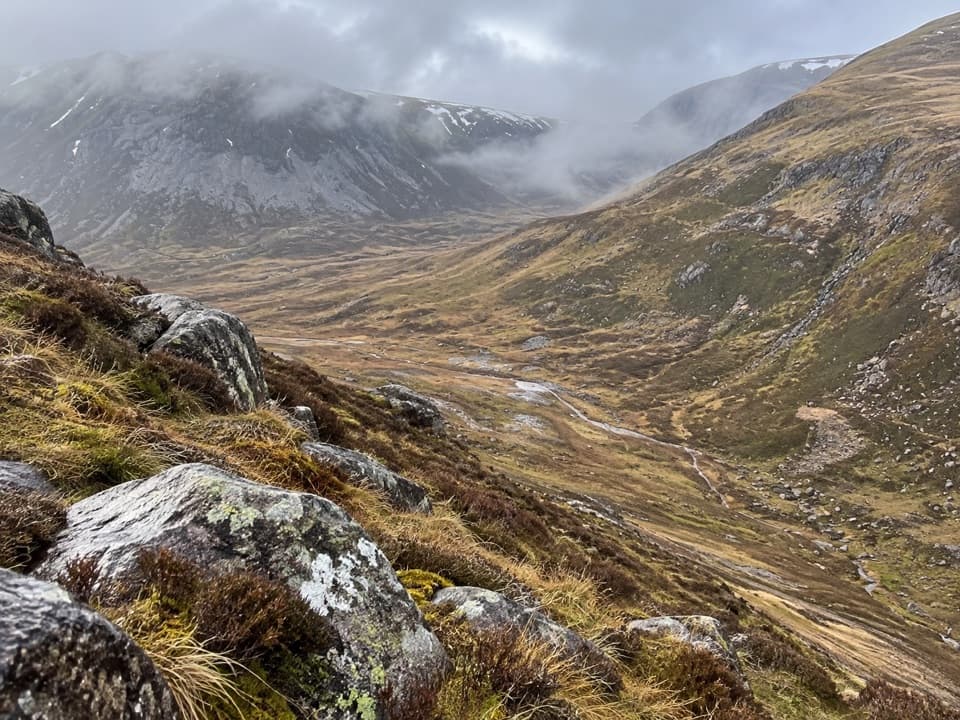 ChallengingLairig an Laoigh30.6 km · 9 hr · 1.2 km awayA remote 19-mile crossing with rough moorland and a serious Avon ford.
 ModerateLodge Trail3.9 km · 1.5 hr · 1.2 km awayPinewoods, a footbridge and dog-grave headstones near the lodge.
 Visitor center · At the trailheadGlenmore Visitor CentreGet local walk advice before choosing your Glenmore route.
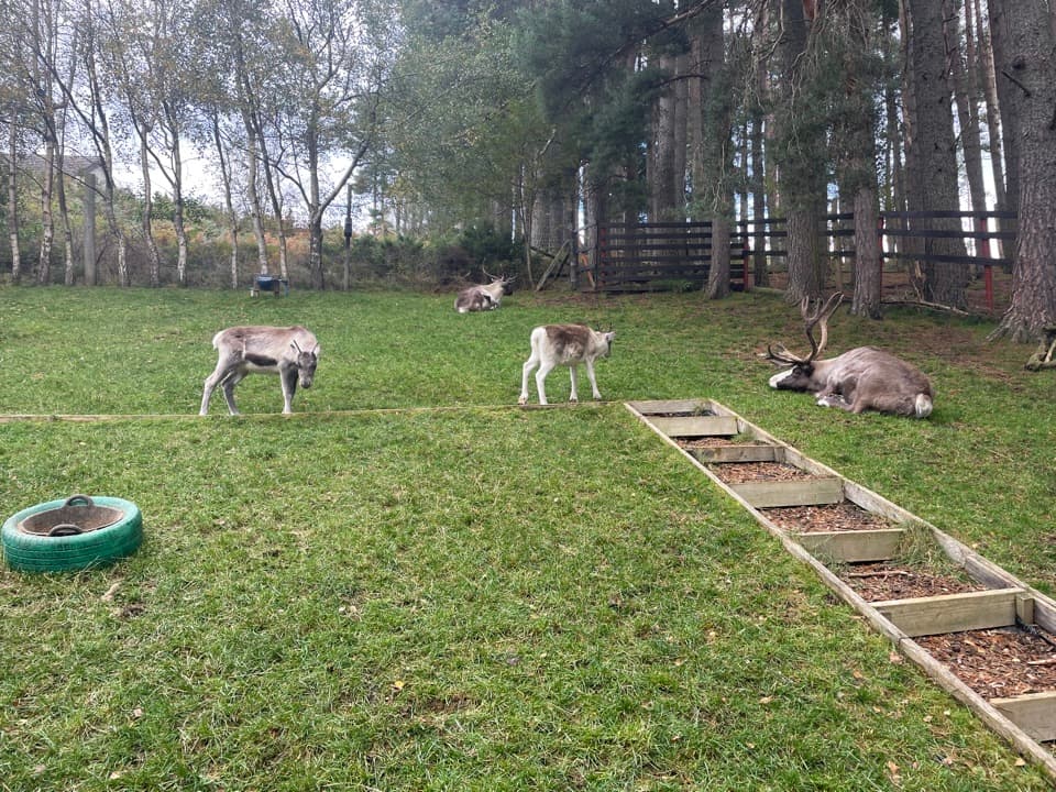 Sight · 0.1 km awayCairngorm Reindeer CentreA mountain walk brings you close enough to hand-feed reindeer.
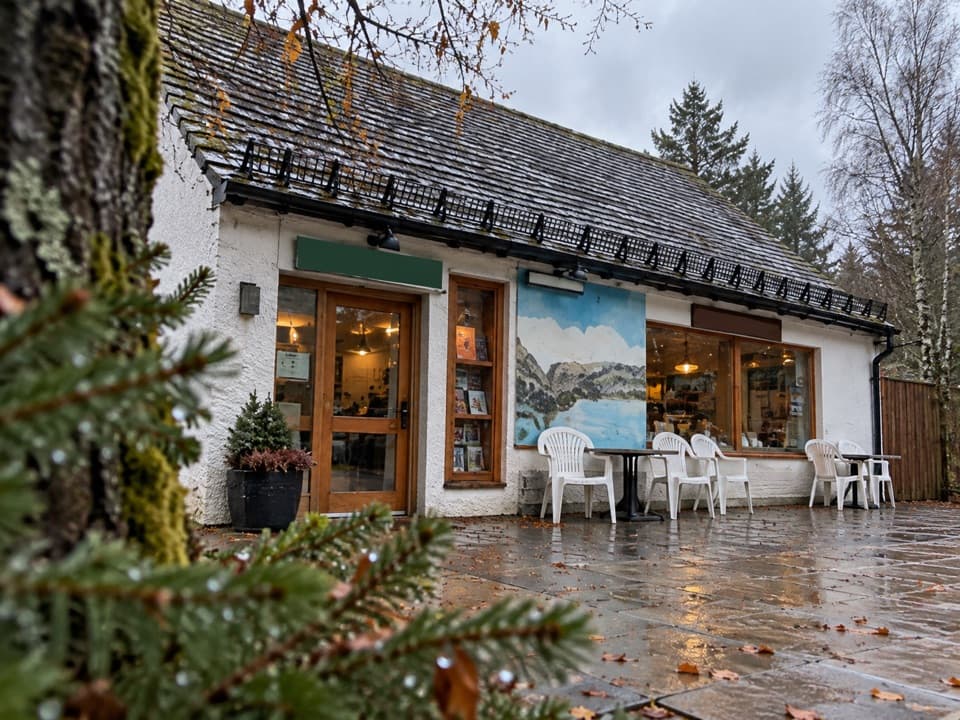 Restaurant · 0.3 km awayThe Pine Marten Bar & ScranAn alpine-style meal stop for hikers, skiers and campers.
 Campground · 0.3 km awayGlenmore CampsitePine-forest camping, with Loch Morlich’s sandy beach a short walk away.
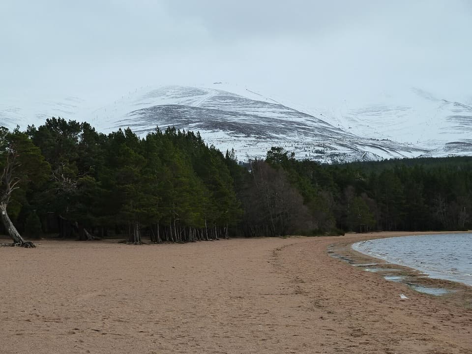 Beach · 0.6 km awayLoch Morlich BeachA sandy freshwater beach with the Cairngorms across the water.
 Sight · 0.6 km awayHayfieldA Glenmore stop for a pine-lined walk and snow-day sledging.
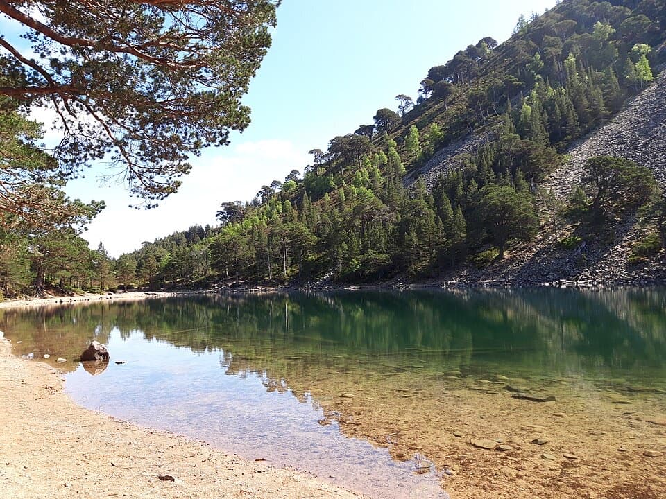 Sight · 2.5 km awayAn Lochan UaineA vivid green loch at the end of a proper woodland walk.
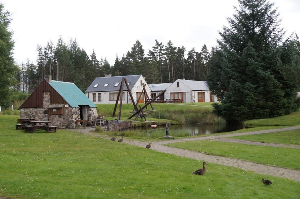 Lodging · 2.5 km awayBadaguish Outdoor CentreA forest base for lodges, heated pods and group camping
Parkwolf’s Cairngorms ranking

The audio tour guide for the drive, plus offline maps, trails, and wildlife heatmaps for when the signal drops.



