Parking
Start at the marked Speyside Way terminus in Buckie village centre. This is a point-to-point walk, so arrange transport between Buckie and Newtonmore before setting off; the official directions do not identify a dedicated trail car park.

Cairngorms National Park, SC
A long-distance walk from Buckie to Newtonmore through Speyside.
Overview
Map & elevation
Plan your hike

The highest, rockiest slopes around here are a summer buffet for grizzly bears.
Cairngorms Tour Guide
Parkwolf is a GPS audio tour guide for Cairngorms National Park. As you drive, it chimes in with what’s ahead: hidden gems, upcoming stops, history, geology, and wildlife, right through your car’s speakers.
See the Cairngorms audio tour“Fantastic app with many points of information… It’s great to just turn on while you’re driving and it gives you an audio tour of the national Park. We love it!!!!”


Trail guide
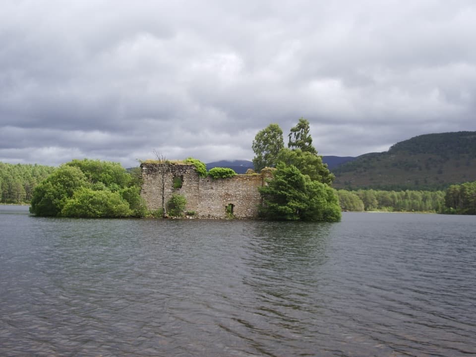
The Speyside Way is an 85.5-mile point-to-point walk from Buckie village centre to Newtonmore, following the Spey valley from the Moray coast into the Cairngorms. It trades shoreline and old railway trackbed for riverside paths, woods, open moor and mountain-framed valleys, with whisky-country towns in between. This is a proper multi-day trip: national route guidance allows six to nine days. I’d plan around seven, with room for rougher ground and the places you’ll want to stop.
Starting upstream at Buckie brings the longer sections later in the trip and finishes at Newtonmore with the Cairngorms ahead. That’s the direction I’d choose for the sense of arrival. Starting downstream at Newtonmore is equally valid and may put the wind behind you. Either way, plan the two endpoints as separate journeys; this isn’t a loop. The optional Tomintoul spur is a separate route from Ballindalloch and isn’t included in this distance.
The opening 10.7 miles from Buckie to Fochabers are nearly flat. The Way leaves the village for the shoreline, follows a disused railway trackbed and woodland and field paths, then passes the Scottish Dolphin Centre at Spey Bay before turning upstream beside the river. The narrow woodland path before Spey Bay twists around, and the riverside path into Fochabers narrows again, so “easy” here means gentle rather than effortless. The Dolphin Centre has a café, and Buckie, Portgordon and Fochabers are useful food stops.
From Fochabers, the route keeps moving through Speyside communities and along the river corridor associated with salmon and malt whisky. Expect a mix of riverside path, old railway lines, forest tracks, shared paths and short stretches beside roads. The route doesn’t stay flat throughout: the Ballindalloch-to-Grantown section leaves the river for a hillier line through woods on the south side of the valley. The suspension bridge over the Aberlour Burn has a five-person limit, so cross in small groups. Small villages can have limited food choices, and cafés and pubs may keep restricted hours, so plan supplies around the stage you’re walking rather than assuming every stop will cover you.
Through the Cairngorms, the Way moves among native pinewoods, open stretches with mountain views, Loch Insh and Uath Lochans. From Aviemore to Newtonmore it is 19.5 miles one way, with gentle undulations at first and several short steeper bits after Kincraig. The route crosses Insh Marshes and passes Ruthven Barracks before Kingussie; the last 8.9 kilometres from Bridge of Tromie to Newtonmore are almost flat. Osprey, otter, kingfisher and beaver are among the wildlife to watch for by the Spey and its lochs, though sightings are never guaranteed.
The commitment is the length more than one continuous climb: the main route gains about 1,485 metres overall and takes six to nine days for most walkers. Some sections are smooth and broad; others are rough, stony, grassy or boggy, with short slopes, narrow paths, bridges and road crossings. Book overnight stops well ahead unless you plan to camp, and leave time for meals and detours. Dogs are allowed under Scotland’s access rules; keep them close around livestock and close at heel or on a short lead where ground-nesting birds may be present, especially from April through July.
If you want a tougher side trip, the Tomintoul spur leaves the main Way at Ballindalloch and crosses exposed high ground over Carn Daimh to Tomintoul. It is about 16 miles one way, not part of the 85.5-mile main route. Walking it out and back adds two days, while taking transport from Tomintoul means arranging a separate return.
Wildlife
 159 sightingsRed DeerMost seen around 7 AMSighting map
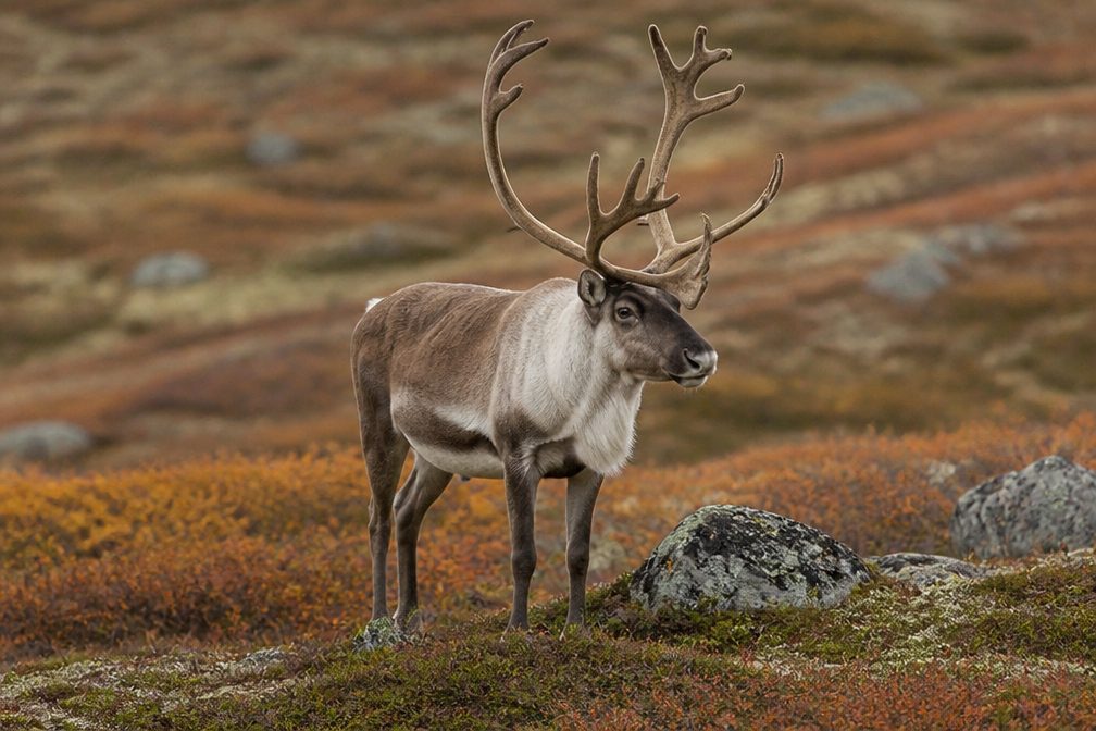 63 sightingsReindeerMost seen around 6 PMSighting map
 102 sightingsOspreyMost seen around 5 PMSighting map
 37 sightingsBlack GrouseMost seen around 4 AMSighting map
 72 sightingsRed GrouseMost seen around 6 PMSighting map
 82 sightingsPine MartenMost seen around 9 PMSighting map
Sighting maps show where each species has been reported across Cairngorms. Wildlife moves, so no sighting is guaranteed.
Parkwolf’s Cairngorms ranking

The audio tour guide for the drive, plus offline maps, trails, and wildlife heatmaps for when the signal drops.