
Place · 1.9 mi away
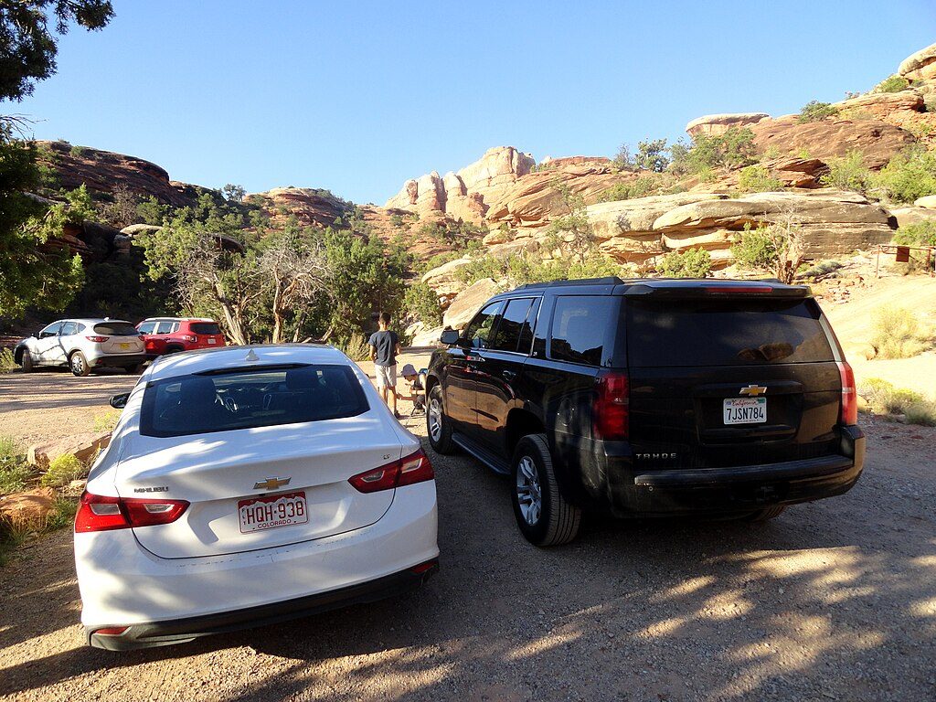
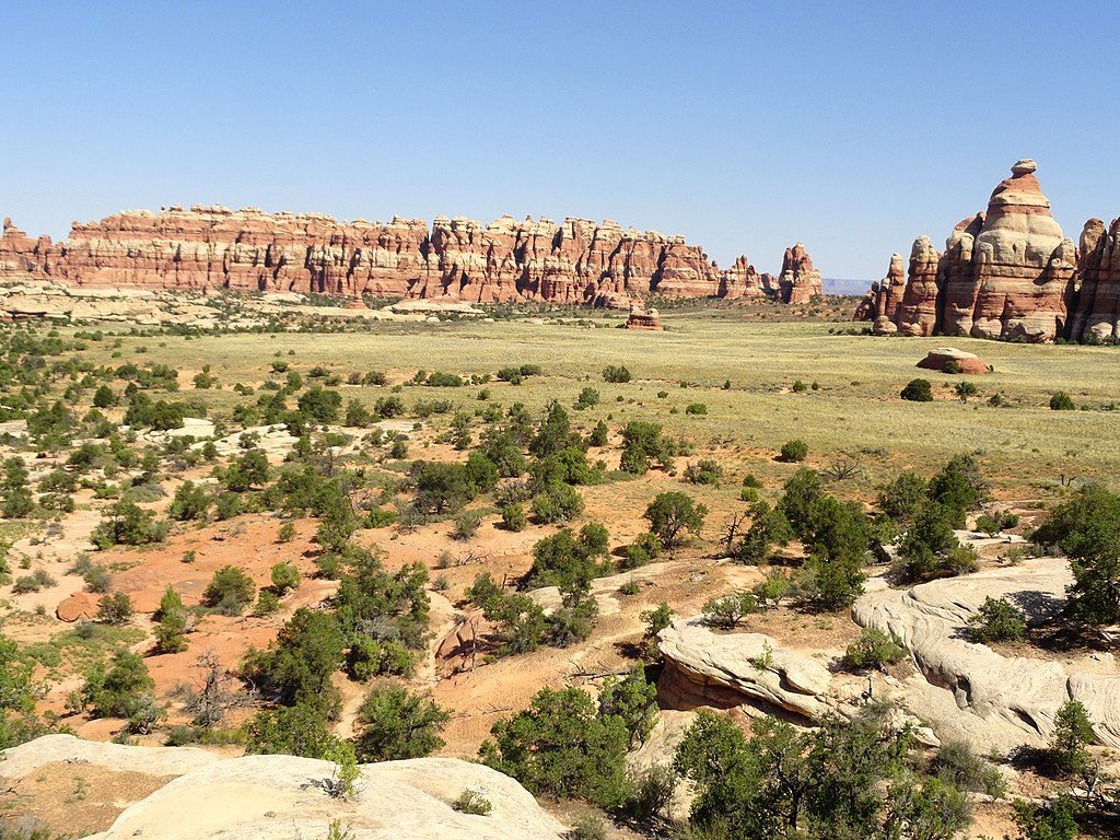
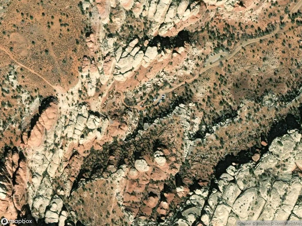
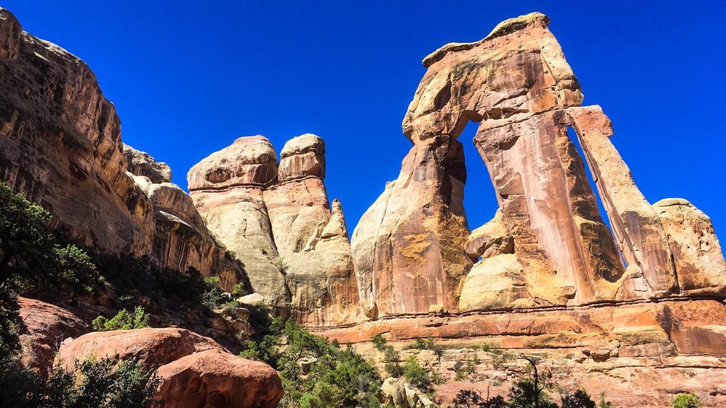
Elephant Hill is the Needles District’s famous gateway—part steep, switchbacking 4x4 climb, part trailhead to some of the best hikes in the area. The first hill wastes no time: expect a tight, technical sequence where one turn is so sharp you drive past it and back down the next leg to make it. Beyond that, the route threads through canyons on slickrock, ledges, and sandy stretches with constant views of spires and fins.
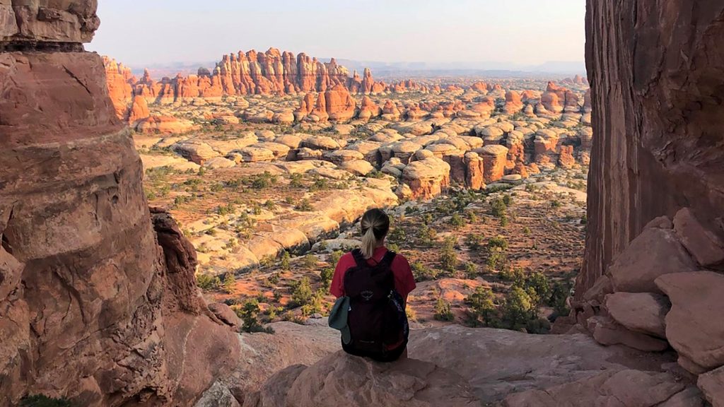
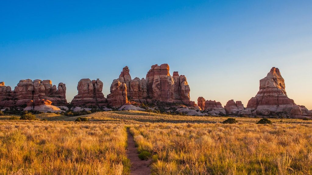
Off-roaders come for the challenge—this is often called one of the best (and toughest) 4×4 roads in any national park, with named obstacles like SOB Hill and the Silver Stairs. Hikers love it because it launches you right into classic Needles scenery. The geology tells a story too: a deep salt layer laid down ~300 million years ago moved and fractured the overlying sandstone, and erosion carved today’s wild maze of fins, needles, and grabens.
To drive the 4×4 road you need a park entry fee plus a day-use permit, obtainable online or at the Needles Visitor Center. Only 24 vehicles are allowed per day, and rangers do patrol the route. No ATVs/UTVs are permitted, and pets aren’t allowed—reported even inside vehicles. Stay on route and pack out all waste.
High-clearance, low-range 4WD is essential. Stock SUVs can struggle, especially when wet. Be ready for ledges, slickrock, and multi-point maneuvers. Recovery gear (straps, jack, shovel), a full-size spare, and precise spotting are smart. Cell service is unreliable; carry maps/GPS and know your limits.
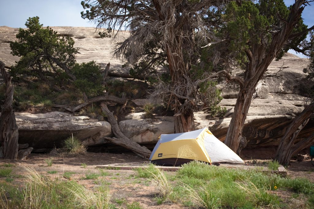
The trailhead is remote with parking but essentially no services—no food, store, or water. Fuel up before entering the district; the nearest fuel may be limited. Backcountry campsites (like Devil’s Kitchen and others) lie beyond the trailhead and require separate permits.
Typical high-desert residents include lizards and birds; rattlesnakes are reported in warmer months. Larger mammals are uncommon here, but the remoteness means you might occasionally spot deer or small mammals. Give all wildlife space and watch where you place hands and feet.
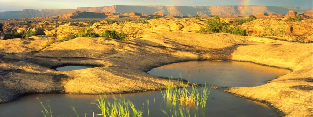
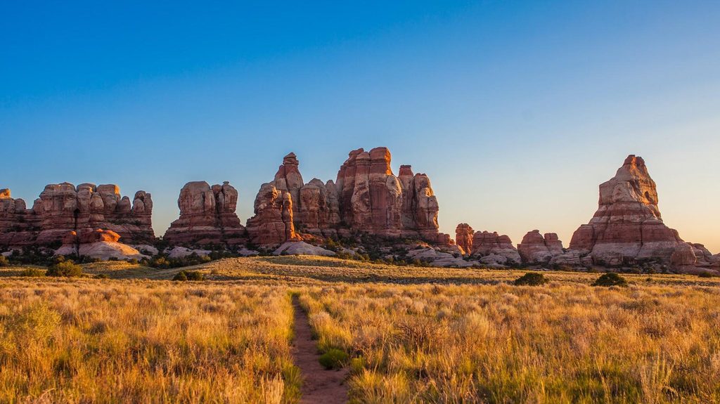
Start early for cooler temps, mellower passing on the 4×4 road, and better hiking conditions. The daily permit cap moderates crowding, but this is a popular area—build in time for oncoming traffic and yielding on narrow sections. Photographers get the best color on the rock in low-angle morning and late-day light; backpackers can chase sunrise/sunset glow from backcountry camps.
Place · 1.9 mi away
Place · 2.2 mi away
Place · 2.2 mi away
Place · 2.9 mi away
Challenging · 0.5 mi away
Challenging · 0.5 mi away
Moderate · 0.5 mi away
Challenging · 0.5 mi away

Parkwolf Tour Guide
