Pros & cons
PROS
- Final ladder-and-scramble delivers a thrilling, photo-friendly perch directly below the arch
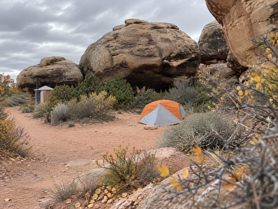
- Designated backcountry campsites in Elephant Canyon make sunrise/sunset visits realistic with a permit
CONS
- Extended deep sand in the wash quietly drains energy on the return
- Cairned route can be missed at junctions if you zone out, especially in the wash
Park at Elephant Hill Trailhead. Reaching it involves about 3 miles of rough, narrow, winding dirt road; high-clearance is recommended for that last stretch. Day-use permits for the Elephant Hill 4WD road apply to motorized travel, not hikers parking to access the trail.
Little shade and no water; carry ample supply. Expect deep sand, slickrock, mild scrambling, and a short ladder near the end. Watch cairns at junctions. Winter can bring ice—traction may be needed.
Overview
This is the Needles District at its best: a long, rugged out-and-back to a dramatic, Stonehenge‑like arch that feels earned. The Druid Arch Trail runs roughly 10.4–10.8 miles total and is generally a strenuous day, thanks to deep sand, slickrock, and a steep, scrambly finish with a short ladder. Expect about 5–7 hours round trip. Elevation gain is modest on paper (about 500–735 feet), but don’t be fooled—the terrain adds up.
Route and Terrain
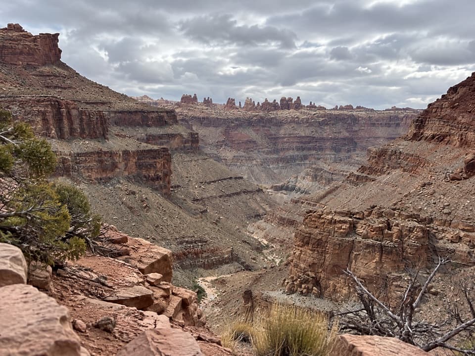
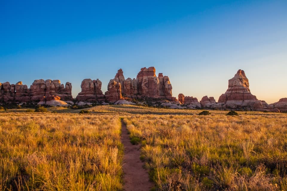
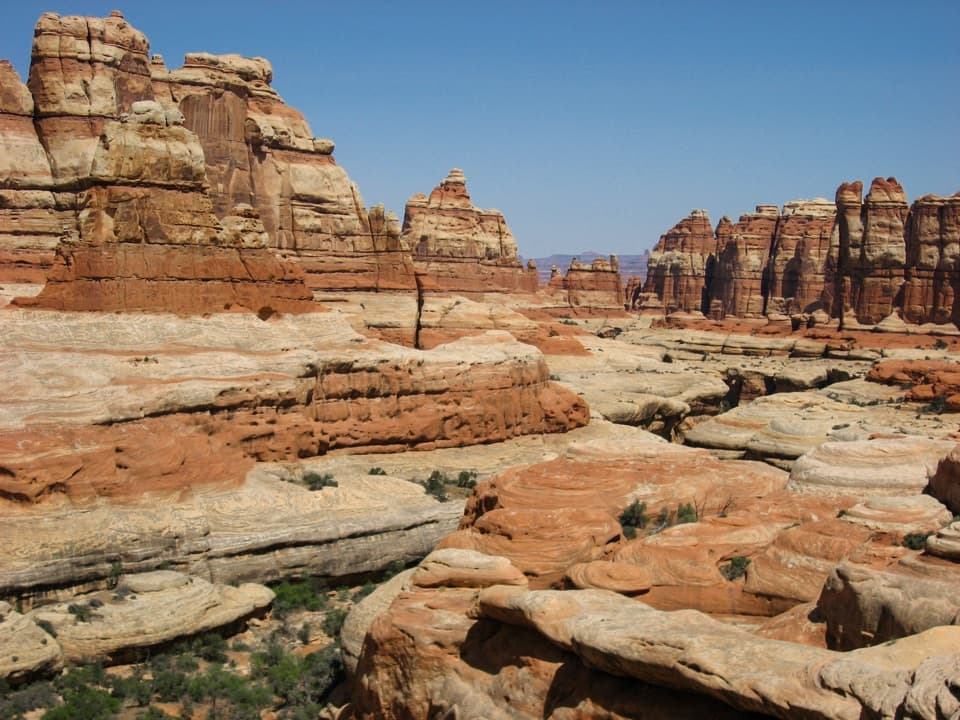
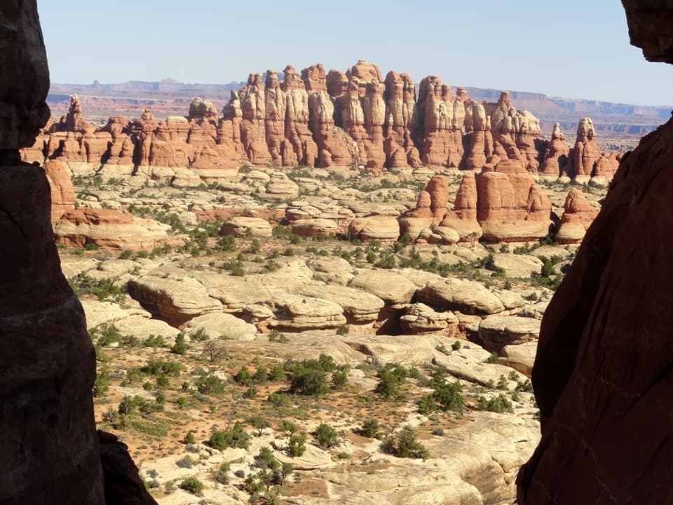
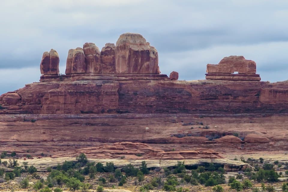
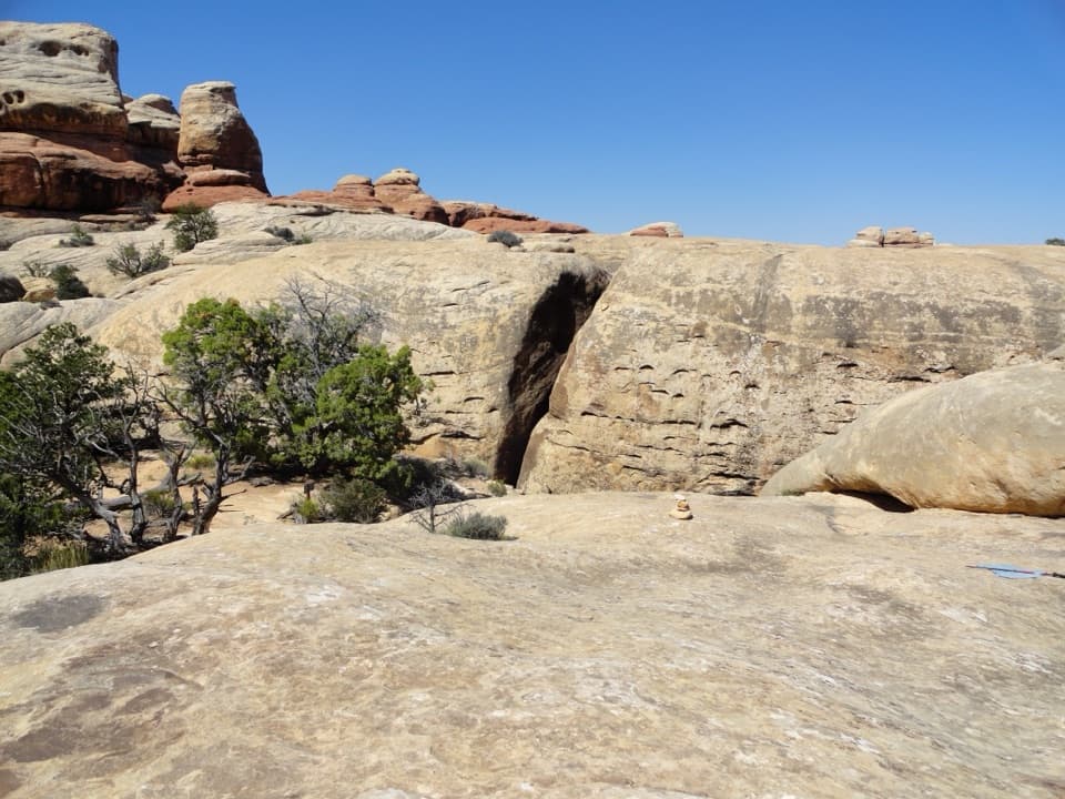
Starting at Elephant Hill Trailhead, the path climbs quickly, then undulates across benches dotted with piñon and juniper, blackbrush, Mormon tea, and prickly pear. You’ll weave through narrow passages and slickrock before dropping into Elephant Canyon, where the character shifts to long stretches of sandy wash walking with occasional rocky interludes. As canyon walls rise and color up, the final mile turns serious: a steep ascent on slickrock, some light scrambling, and a short ladder lead you onto a bench right below Druid Arch—two tall, narrow openings cut into a massive fin, perfectly silhouetted against the sky.
Navigation and Logistics
Junctions are signed and the route is generally cairned, but it’s still easy to drift in the wash or at intersections, so keep your head on a swivel—especially where the trail meets routes to Chesler Park. Many hikers do this as a straight out-and-back via Elephant Canyon; ambitious folks sometimes tie in Chesler Park as a longer variation.
Day hiking does not require a permit. Backcountry camping along Elephant Canyon (e.g., designated sites) does require a permit, and it’s a great way to position for quieter light at the arch. Pets aren’t allowed on this trail. There’s no water on route—carry your day’s supply from the start.
Best Time to Hike
It’s hikeable year-round, but spring and fall bring the friendliest temps. Summer can be brutally hot with little shade; start at dawn if you go. Winter is quieter and beautiful but can mean snow or ice—bring traction if conditions warrant. For photos, the arch’s standalone silhouette works in a wide range of light; early starts help you beat heat and crowds.
Tips
- Water: Plan for at least 1 liter per person per hour; there is no reliable water.
- Footwear: Sturdy shoes with great traction pay off on slickrock and sand.
- Pace yourself: The sandy wash for the last couple miles out and back is a leg-sapper; save energy for the steep finale.
- Route-finding: Follow cairns closely, especially near junctions and where the trail briefly leaves the wash.
- Skills: Expect mild scrambling and a short ladder near the end—fun if you’re prepared, frustrating if you’re not.
Is It Worth It?
Absolutely—if you’re up for a demanding desert hike. The combination of classic Needles scenery, evolving canyon ambience, and that commanding view of Druid Arch makes this one of the most rewarding days in Canyonlands. If you want something shorter and gentler, consider exploring a portion of Elephant Canyon or the Chesler Park area instead and save Druid Arch for when you’re ready for the full-value version.
Elevation
10.8 mi · 6 hrWhere it starts
38.1416, -109.8273Near Druid Arch Trail
All places →All trails →
0 mi awayElephant Hill to Chesler ParkSlot canyons, slickrock, and a meadow ringed by red rock needlesChallenging · 10.4 mi · 5.5 hr
0 mi awayChesler Park Loop via Joint TrailThe Needles’ greatest hits: meadow, spires, and a slot-like Joint.Challenging · 10.7 mi · 6 hr
0 mi awayJoint TrailA tight slot-canyon detour on the Chesler Park LoopModerate · 1.3 mi · 1.5 hr
0 mi awayLower Red Lake Canyon TrailRemote Needles descent to the Colorado River with true solitudeChallenging · 18.8 mi · 12 hr
0.5 mi awayElephant HillLegendary 4x4 climb and gateway to Chesler ParkTrailhead · Parking
1.5 mi awayThe Needles CampgroundRemote red-rock basecamp with dark skies and trailheads at your doorCampground · Restroom
2.3 mi awayPothole PointShort slickrock loop of living potholes and Needles viewsTrailhead · Pullout
2.5 mi awaySlickrock Foot Trail ViewpointMesa-top panorama with four viewpoints on a short loopTrailhead · Parking