Pros & cons
PROS
- Short 0.6-mile loop with cairns and interpretive signs
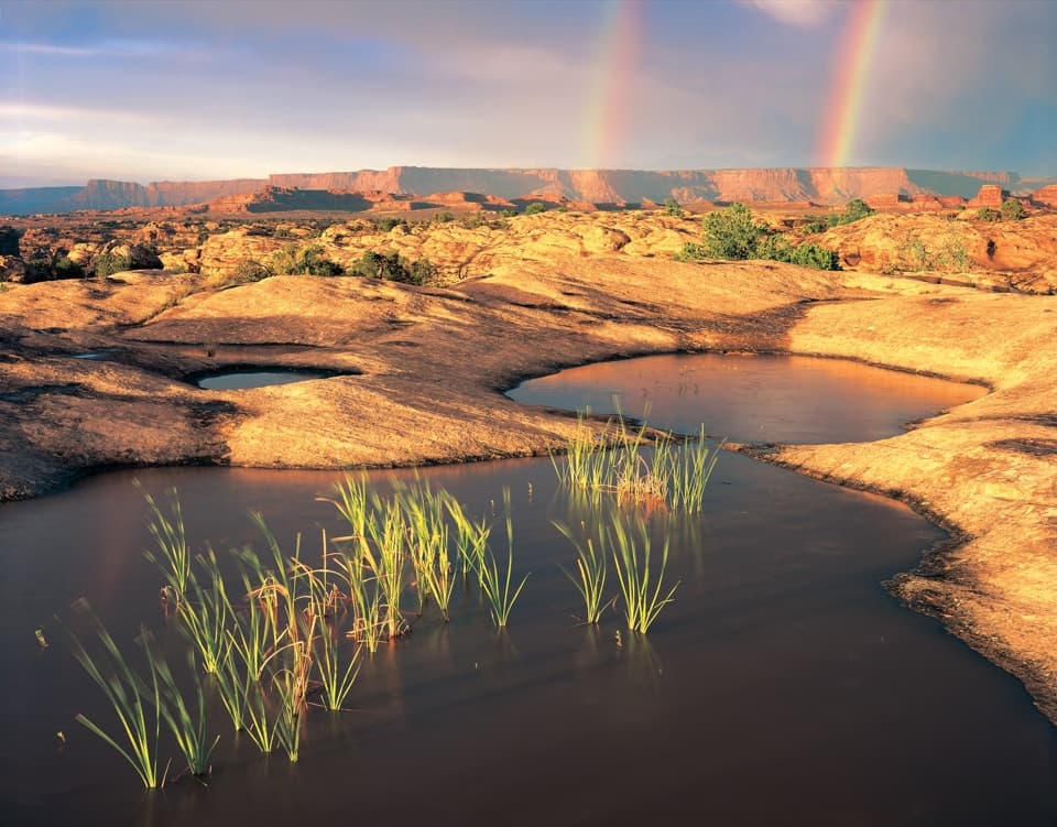
- Concentrated pothole micro-ecosystems, especially lively after rain
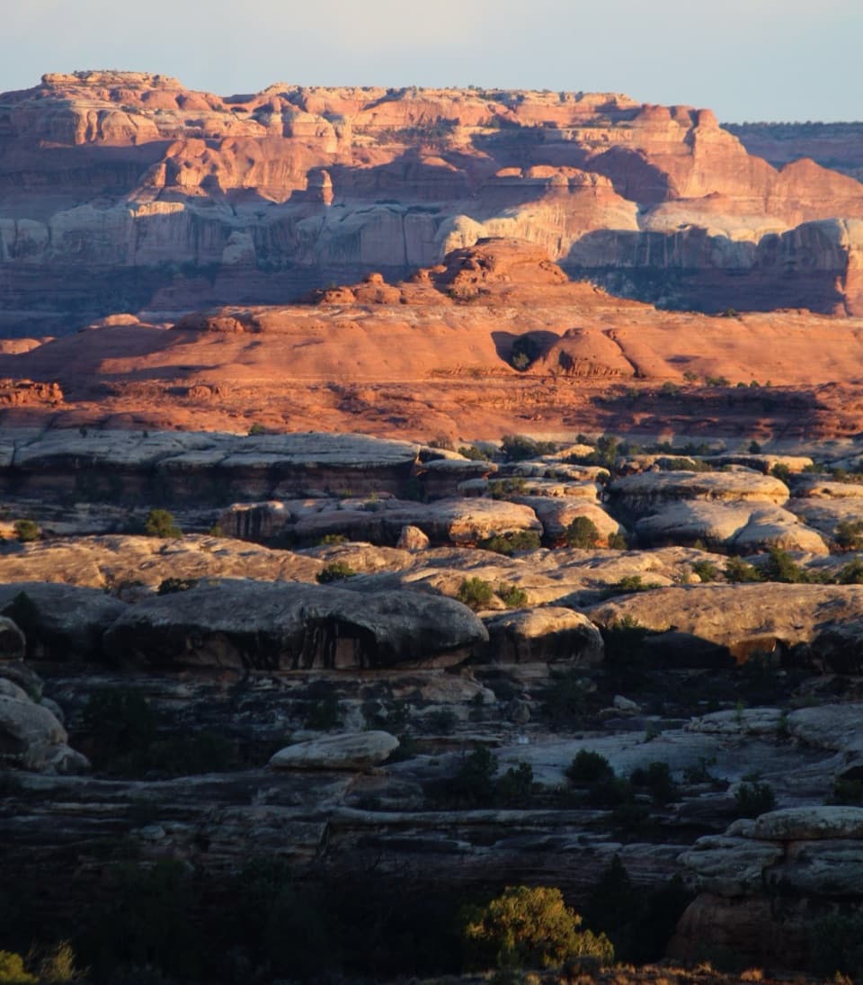
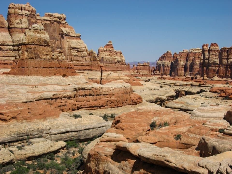
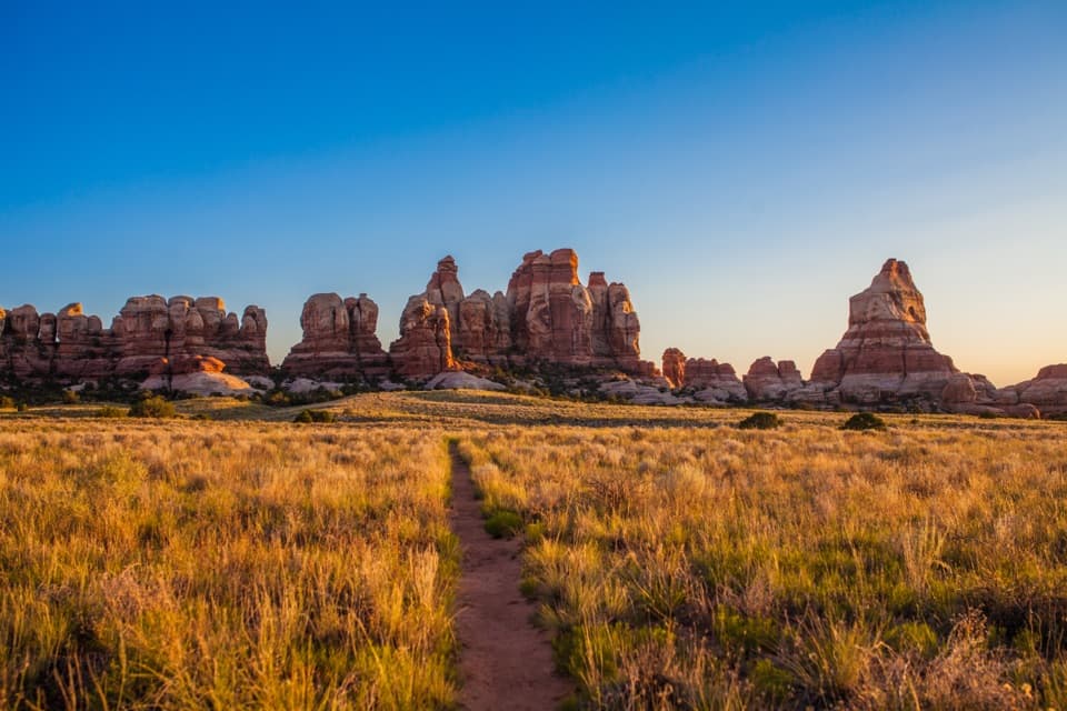
- Wide views toward the Needles spires and great texture for photos
CONS
- No shade; the slickrock bakes in warm months
- No water or restrooms at the trailhead
- Cairn markers can be confusing if you’re not paying attention
Overview
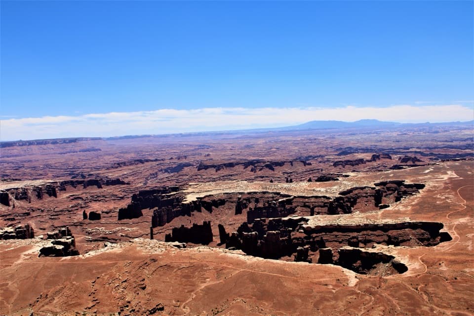
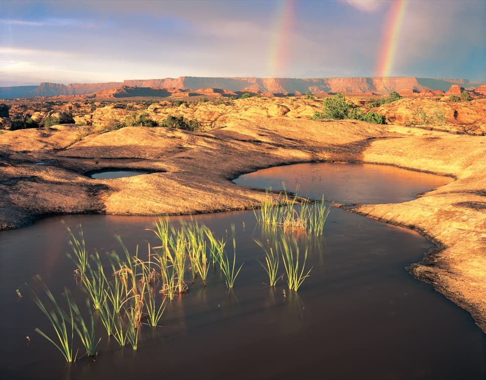
Pothole Point is a quick loop over open slickrock in the Needles, dotted with natural basins—“potholes”—that steal the show. Expect a brief, uneven walk guided by rock cairns and interpretive signs, with minimal elevation change and broad views across the spires.
What Makes It Special
These sandstone potholes are tiny, fragile worlds. When they hold water, they can teem with life—think fairy shrimp and other organisms adapted to temporary pools. Even when dry, they’re living systems that the park asks you to treat gently. It’s one of the easiest places here to see how desert water shapes rock and sustains life.
What You’ll See
- Slickrock domes and basins of all sizes, sometimes lined with algae or tiny plants.
- Dark, knobby biological soil crust nearby—another living community to avoid trampling.
- Open views toward the Needles formations that pop in low-angle light.
How to Do It Right
Follow the cairns closely across the rock and resist the temptation to wander. Do not step in potholes—footprints, soap, or sunscreen can wreck the life inside. Stay on durable rock and keep off the soil crust around the route.
Best Time to Visit
- After a rain: the pools come alive and make the place feel magical.
- Early or late in the day: cooler temps, softer light, and better photos. Sunset light brings out the rock’s color and texture.
Good to Know
There’s no shade, no water, and no restrooms at the trailhead, so come prepared. The path is short but entirely on uneven slickrock—watch footing and keep an eye on the cairns, especially near the start. Dogs aren’t allowed on the trail.
Bring
Plenty of water, sun protection, and sturdy shoes. A camera or phone macro lens is fun here—observe the tiny worlds without touching them.
Where it is
38.1715, -109.8080Tips for Pothole Point
- 01Go right after rain to see the potholes teeming with life.
- 02Track the cairns carefully across the slickrock so you stay on route.
- 03Pack water and sun protection—there’s no shade or services here.
- 04Aim for golden hour for the best Needles views and textures.
- 05Never step in potholes or on biological soil crust, even when dry.
Amenities
Near Pothole Point
All places →All trails →
0.1 mi awayPothole Point TrailShort slickrock loop with living potholes and big Needles viewsEasy · 0.6 mi · 30 min
0.5 mi awaySlickrock Foot TrailShort slickrock loop with four big-view overlooks and zero shade.Moderate · 2.4 mi · 2 hr
0.5 mi awaySlickrock Foot Trail ViewpointMesa-top panorama with four viewpoints on a short loopTrailhead · Parking
0.7 mi awayConfluence Overlook TrailCairned slickrock day hike to the Green–Colorado Rivers confluence.Moderate · 10.4 mi · 5.5 hr
1.6 mi awayThe Needles CampgroundRemote red-rock basecamp with dark skies and trailheads at your doorCampground · Restroom
1.9 mi awayBig Spring Canyon OverlookEnd of the road panorama and launch pad for Needles hikesTrailhead · Pullout
2 mi awaySquaw Canyon to Lost Canyon LoopTwo canyons, ladders, and slickrock—classic Needles sampler loop.Moderate · 6.5 mi · 4.5 hr
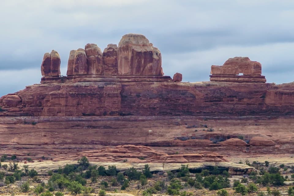
2 mi awayWooden Shoe Arch OverlookQuick roadside view of a shoe-shaped arch on the Needles drivePullout · Parking