
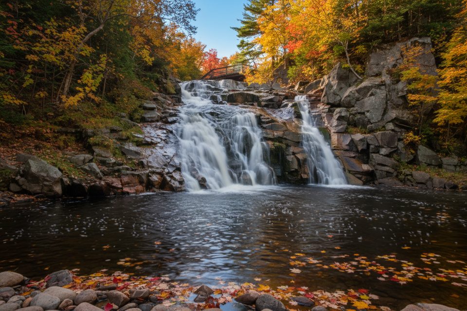
Place · 0.6 mi away
Moderate
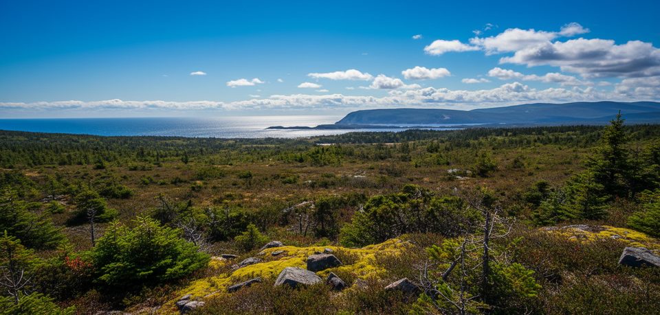
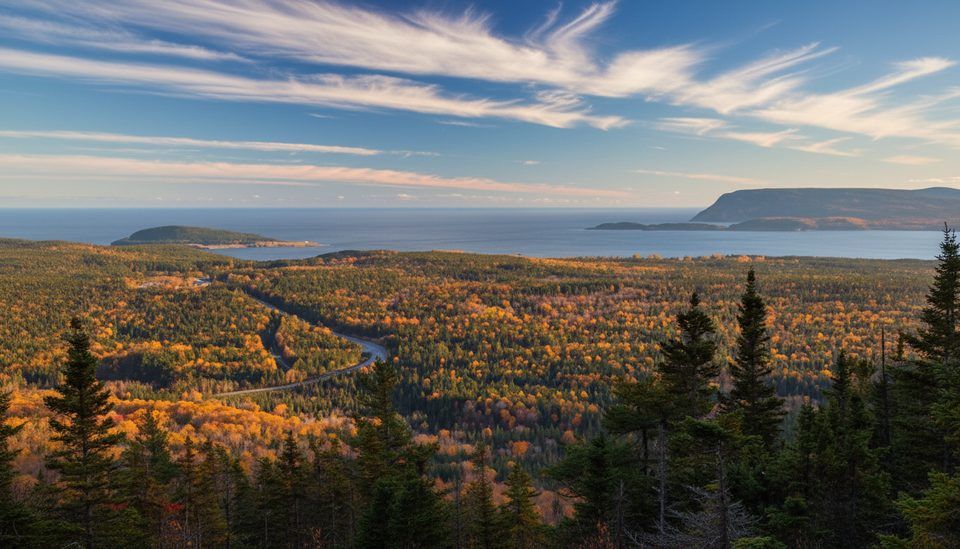
A quietly rewarding highland walk to a broad look-off over the park’s interior plateau and the Atlantic. You’ll pass through a neat sequence of forest zones—Acadian to boreal to taiga—before the trees thin and the view opens. On clear days you can pick out Cape Smokey and Cape North in the distance.
The classic outing to the look-off is 8.4 km/5.2 mi total (out-and-back) and typically takes about 2.5–3 hours. It’s a steady, gentle climb to the viewpoint, then an easier downhill return. Expect some rugged footing and sections that turn wet after rain. Some hikers continue beyond the look-off toward Branch Pond/cabin on a rougher, very wet path; those extensions commonly land around 14 km return and take longer—only worth it if you’re comfortable with soggy trail.
Former directions sent drivers off the Cabot Trail onto Warren Lake Road, then immediately right onto Mary Ann Falls Road for roughly 6 km to a small parking area. Mary Ann Falls Road is now permanently closed to vehicles and has reopened as a hiking route. Practically, that means you’ll likely park where permitted near the road closure and hike a portion of Mary Ann Falls Road to reach the trail—plan extra time and energy. Check in with the Ingonish Visitor Centre the day you go for the latest on where to start and where you may park.
Watch for the forest shift as you climb—denser Acadian woods give way to boreal spruce and then open taiga-like barrens near the high point. The panorama takes in the park’s rolling plateau and, to the east, the Atlantic. It’s a great natural lesson in how this uplifted, worn-down slice of the Appalachians creates big views without huge peaks.
The park is open year-round, with full visitor services typically mid-May through mid-October. Fog can sit on the plateau and erase the payoff, so aim for a clear-weather window. Wind and rapid weather changes are common up high; bring layers. Summer bugs can be feisty—carry repellent.
A valid park pass is required. Stay on the designated trail to protect fragile vegetation. Recreational drones are not allowed. Pets are permitted but must remain leashed. You may encounter wildlife; give animals space and never feed them.
With Mary Ann Falls Road permanently closed to vehicles, plan to park where permitted near the closure and walk part of the road to reach the trail; the former small lot about 6 km up Mary Ann Falls Road is now effectively a legacy reference—confirm current parking with the Ingonish Visitor Centre.
Road closure adds approach distance/time; expect rugged, wet sections (very wet beyond the look-off). Weather changes fast on the plateau. Carry insect repellent. Recreational drones are prohibited.
Place · 0.6 mi away
Place · 1.9 mi away
Place · 2 mi away
Place · 2.2 mi away
Easy · 1.9 mi away
Easy · 2.4 mi away
Easy · 2.6 mi away
Moderate · 2.6 mi away

Parkwolf Tour Guide
