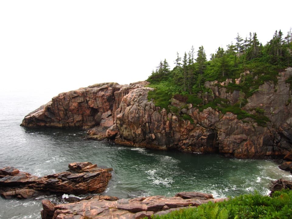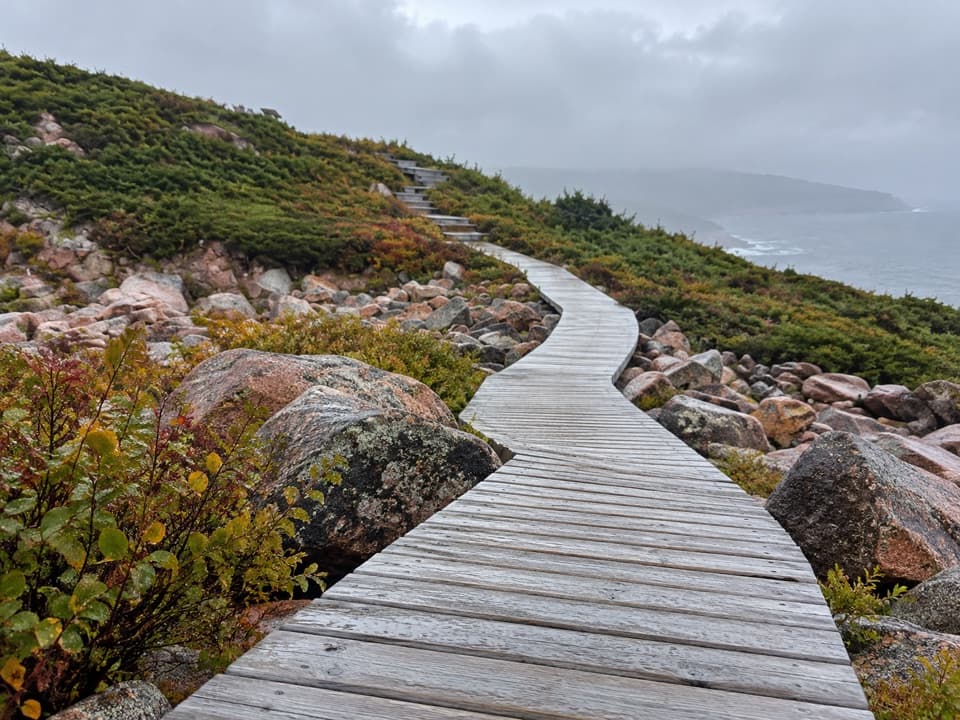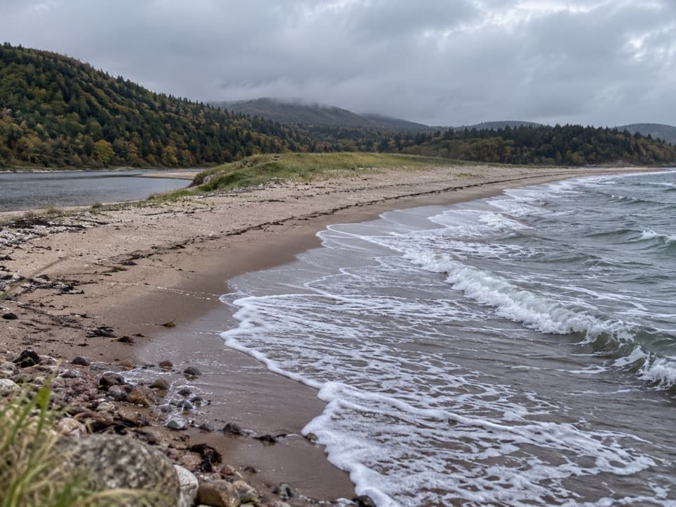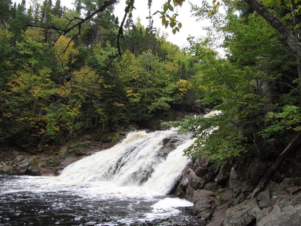
Mary Ann Falls in Cape Breton Highlands National Park

#9 of 24 sights in Cape Breton Highlands

Sight · Cape Breton Highlands National Park

Mary Ann Falls

A six-metre cascade at the end of a 13.9 km hike.

Photo: CC BY-SA 2.0
Type
Sight
Nearest trail
3.1 km
Audio stories
3 nearby
  • Parking
  • Trailhead

Hear the audio tour

Mary Ann Falls Trail

Overview

About Mary Ann Falls

Why stop

  • A forested cascade and pool make a memorable hiking destination.

Heads up

  • The 13.9 km return route rules out a quick stop.

Map

Where it is

Loading the Cape Breton Highlands map
Full map
SightMary Ann Falls46.76148, -60.36358
Keep this map with you offline in the Parkwolf app

Plan your stop

Before you go

6 active Cape Breton Highlands alerts

  • CautionPedestrian prohibition on Cabot Trail near French LakeMentions Cabot Trail, referenced in this guidePedestrian use is prohibited at all times on the Cabot Trail between 19713 Cabot Trail (French Lake Look-Off) and 18865 Cabot Trail (Veteran’s Monument Look-Off) through October 25, 2026.Official details
  • ClosureCoyote-related area closuresMacIntosh Brook Campground and Trail, Lone Shieling, three Cabot Trail properties, and nearby pull-offs are closed because coyotes have approached people aggressively.Official details

See all 6 alerts
A park ranger sits on a dash-mounted phone, talking, as Parkwolf’s Tour Guide plays “Army Cutworm Moths: A Grizzly Bear Buffet” on Grand Loop Road below Dunraven Pass in Yellowstone
Parkwolf Tour GuideThe highest, rockiest slopes around here are a summer buffet for grizzly bears.

Cape Breton Highlands Tour Guide

Your drive to Mary Ann Falls, narrated.

Parkwolf is a GPS audio tour guide for Cape Breton Highlands National Park. As you drive, it chimes in with what’s ahead: hidden gems, upcoming stops, history, geology, and wildlife, right through your car’s speakers.

See the Cape Breton Highlands audio tour

Recorded for this place

Mary Ann Falls Trail
0:00 / 0:24
“You're approaching the Mary Ann Falls trailhead on Warren Lake Road. Choose this for a full forest hike to a six-metre cascade and pool: the return trip is nearly fourteen kilometres and takes five to six hours.”

Plays as you drive up to Mary Ann Falls in the Parkwolf Cape Breton Highlands Tour Guide.

More stories near here in the app

  • Black Brook Beach and Still Brook Falls
  • Green Cove
  • Jigging Cove Lake Trail
  • Lakie's Head
  • 50 audio storiesacross Cape Breton Highlands’s roads, triggered by GPS as you drive
  • Wildlife heatmapsfor Moose, Black Bear, Bald Eagle, and 13 more
  • Works offlinemaps, 27 trails, 38 places, and audio download before you lose signal
  • CarPlay readysimple controls built for the drive
★★★★★
“Fantastic app with many points of information… It’s great to just turn on while you’re driving and it gives you an audio tour of the national Park. We love it!!!!”
JMJamesApp Store review
Download Parkwolf on the App StoreGet Parkwolf on Google Play

4.7 from 8,600+ ratings

Guide

More about Mary Ann Falls

A waterfall at the end of a long walkMary Ann Falls is a 6 m cascade on Mary Ann Brook in Cape Breton Highlands National Park.

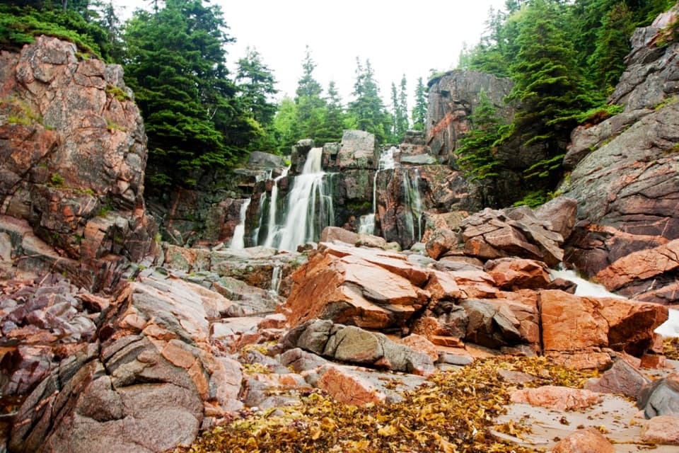
Mary Ann Falls is a 6 m cascade on Mary Ann Brook in Cape Breton Highlands National Park. A pool sits below the falls, but reaching it is a full hike, not a quick roadside stop. Plan on 13.9 km round trip.

Make a half-day outing of itThe route starts at the Warren Lake Road parking lot and takes about 5–6 hours.

The route starts at the Warren Lake Road parking lot and takes about 5–6 hours. It is rated moderate, with uneven footing in places and a staircase down to the falls. The former falls road is closed to vehicles; leave the car at the current trailhead. Carry food and water, and leave enough daylight for the return.

Walk an older Cabot TrailThis route follows part of the original Cabot Trail alignment, designed in the 1920s and used…

This route follows part of the original Cabot Trail alignment, designed in the 1920s and used as the main route through the highlands until the coastal route opened in the 1950s. What is now a long walk once carried the road across the highlands.

Cross the brook and descendRemnants of a historic iron bridge remain along the trail.

Remnants of a historic iron bridge remain along the trail. Near the waterfall, a sturdy staircase descends to the base and pool, bringing you close to the cascade.

Look at the falls from belowThe 6 m drop tumbles over rock into a natural pool in the forest.

The 6 m drop tumbles over rock into a natural pool in the forest. The water is cool, and the location is remote; swimming is part of the experience for some visitors, but don't treat it like an easy roadside dip.

Frame the water and poolFrom the base, include the pool and surrounding boulders so the cascade has scale.

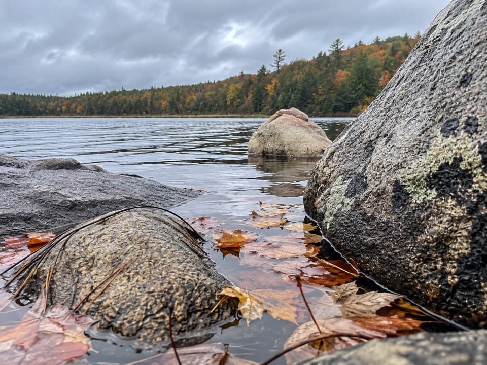
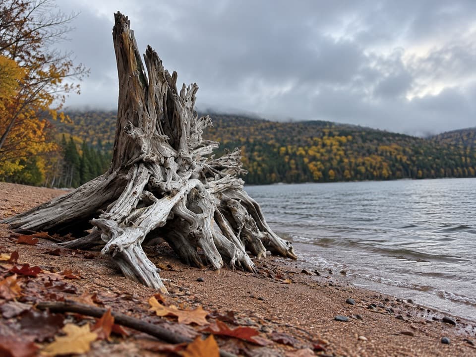
From the base, include the pool and surrounding boulders so the cascade has scale. Autumn color adds a red-and-yellow frame around the brook.

Wildlife

Wildlife in Cape Breton Highlands

All Cape Breton Highlands wildlife maps

Sighting maps show where each species has been reported across Cape Breton Highlands. Wildlife moves, so no sighting is guaranteed.

Keep exploring

Near Mary Ann Falls

See it all on the map

Trails nearby

More stops nearby

Parkwolf’s Cape Breton Highlands ranking

Top sights in Cape Breton Highlands

All 38 places
  1. 1Beulach Ban FallsSight
  2. 2Ingonish Beach and Freshwater LakeBeach
  3. 3Black Brook BeachBeach
  4. 4Lakie's HeadSight
  5. 5Lone ShielingSight
  6. 6Highlands LinksSight

Take Parkwolf to Cape Breton Highlands.

The audio tour guide for the drive, plus offline maps, trails, and wildlife heatmaps for when the signal drops.

4.7 from 8,600+ ratings

Download Parkwolf on the App StoreGet Parkwolf on Google Play