
Place · 0 mi away
Challenging
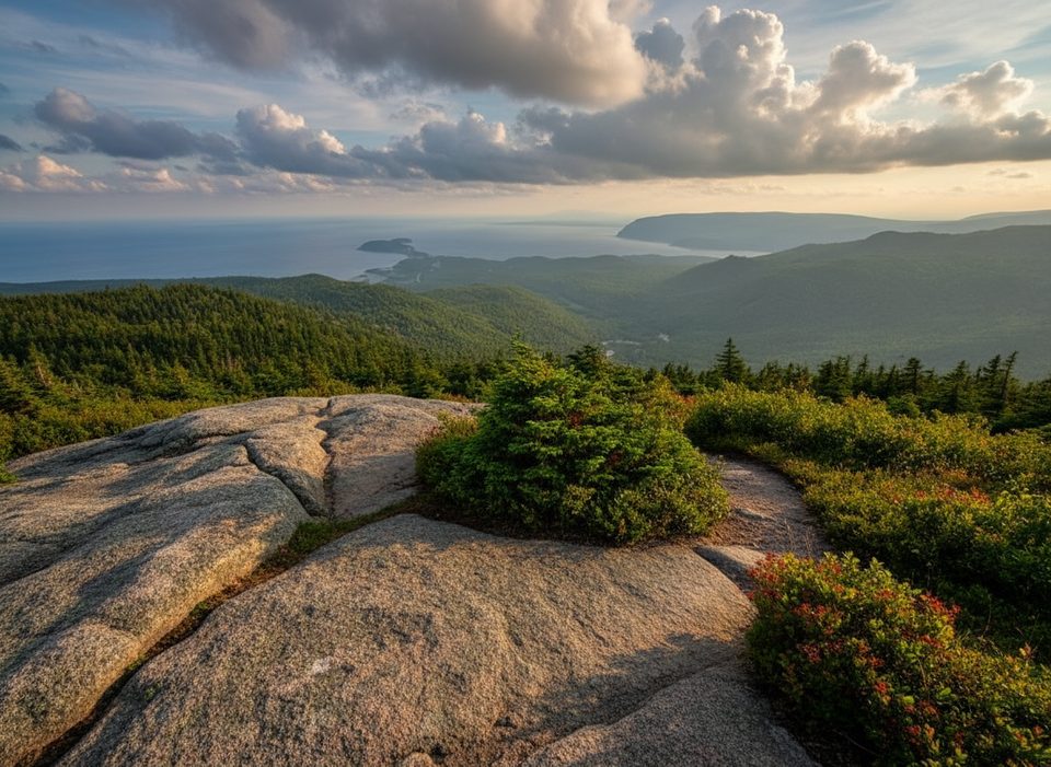
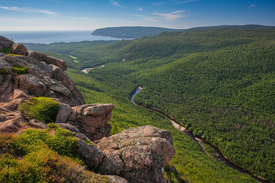
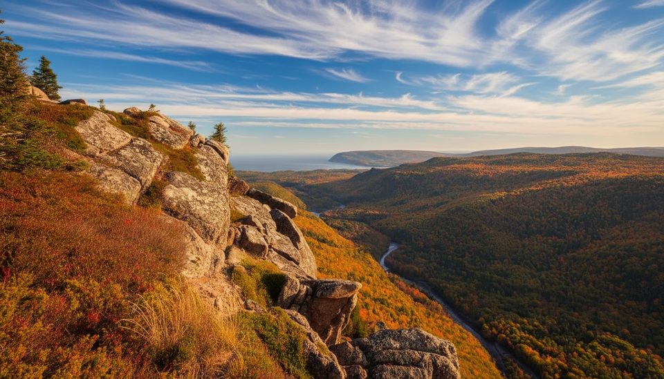
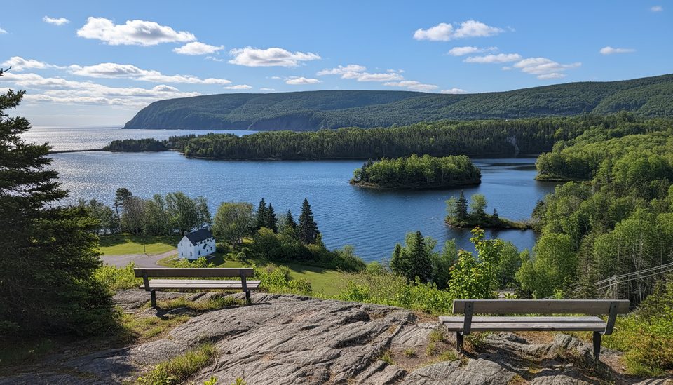
This is the park’s big-view leg burner: a 7.4 km (4.6 mi) loop with steady climbing from about 95 m to roughly 430 m in elevation. Expect roots, rocks, and stair sections on the way up, matched by sweeping lookoffs over the Clyburn Brook canyon and the Atlantic coastline from Cape Smokey to Ingonish. Most hikers take 2–3 hours total.
As of late September 2025, this trail has been reported temporarily closed for construction/infrastructure work. Check the current status with Parks Canada before you go; conditions and closures can change quickly.
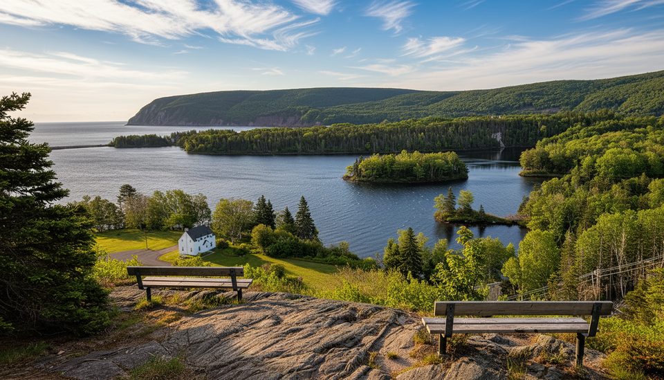
The loop climbs through hardwoods into mixed forest and tops out at two lookouts—don’t stop at the first; the second is the showstopper with wider views toward Ingonish Harbour. Many hikers prefer ascending the southern leg (more varied, prettier) and find the descent on the opposite side less scenic, following a fire/access road. If you value scenery over variety, an out‑and‑back on the more interesting side is a fine choice.
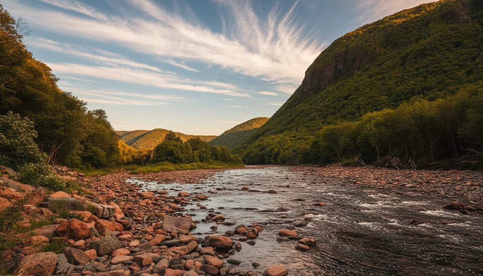
From the lookoffs, scan the sheer rock faces of Franey Mountain and trace the Clyburn Brook winding hundreds of meters below. Keep an eye out for moose in the surrounding forest. The summit area is broad and can feel flat, which makes the exact high point less obvious—but the views steal the show.
Summer brings the most reliable footing but also crowds and bugs; start early to beat both. Fall is prime for color and crisp air. Midday (roughly 11 a.m.–4 p.m.) is the busiest window and parking fills fast; earlier or later starts are your friend. Winter conditions can turn this into an icy, hazardous endeavor.
A Parks Canada pass is required. Dogs must be leashed. Recreational drones aren’t permitted in the national park. Bring plenty of water and wear real hiking footwear; trekking poles help on the descent. If this trail is closed when you visit, consider nearby alternatives like Middle Head or Broad Cove Mountain for strong viewpoints with less commitment.
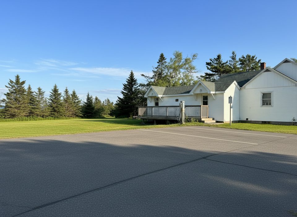
Turn off the Cabot Trail just north of the Clyburn River and follow the fire access road about 1 km to a small lot; it often fills 11 a.m.–4 p.m.
Steep, uneven trail with roots, rocks, and stairs; cliff edges at the lookoffs; moose habitat. Reported temporary closure as of September 2025—verify status before heading out.
Place · 0 mi away
Place · 1.1 mi away
Place · 1.1 mi away
Place · 1.2 mi away
Challenging · 0 mi away
Easy · 0.1 mi away
Easy · 1.1 mi away
Easy · 1.2 mi away

Parkwolf Tour Guide
