
Place · 0.1 mi away
Easy
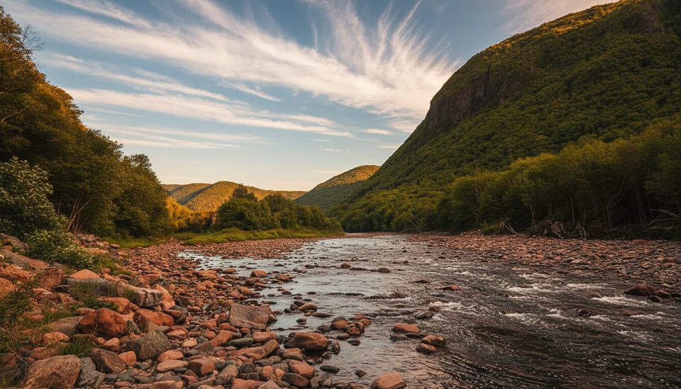
A mellow riverside ramble through a classic Cape Breton hardwood valley, this trail follows the clear Clyburn River past glacial boulders, old beaver ponds, meadows, and even a few gnarled apple trees. The headline feature is the ruins of an early‑1900s gold mine that shut down in 1916. Views are mostly intimate—forest, river, and glimpses of fairways from the Highlands Links—plus occasional looks up to the cliffs of Franey Mountain across the valley.
Plan on roughly 5 miles total, out and back, to the gold‑mine ruins on the maintained section (about 2–3 hours depending on pace). The walking is mostly flat with minimal elevation change, but expect some rocky or flooded stretches after rain. Past the mine, the route becomes rough and generally unmaintained; hikers who push farther commonly log a much longer day on slower tread. If you want a straightforward family‑friendly outing, turn around at the mine.
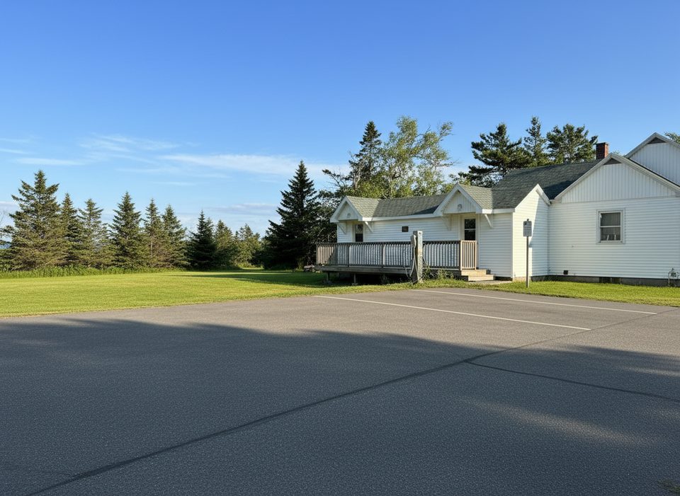
The trailhead sits just north of the Clyburn River bridge off the Cabot Trail, reached via a short fire road. A park pass is required to hike here, and full visitor services typically run mid‑May to mid‑October. Note: if you park at the first large lot, the signed start is roughly 2.5 km farther, which adds about 5 km round trip to your day. If the access road is open and suitable for your vehicle, drive closer to the bridge‑side parking to keep the hike to the standard length.
Spring through fall is prime. Summer brings lush canopy—but also black flies and mosquitoes—so carry repellent. After heavy rain, expect wet feet in low spots. In winter, the corridor sees use for snowshoeing and cross‑country skiing when snow cover allows.
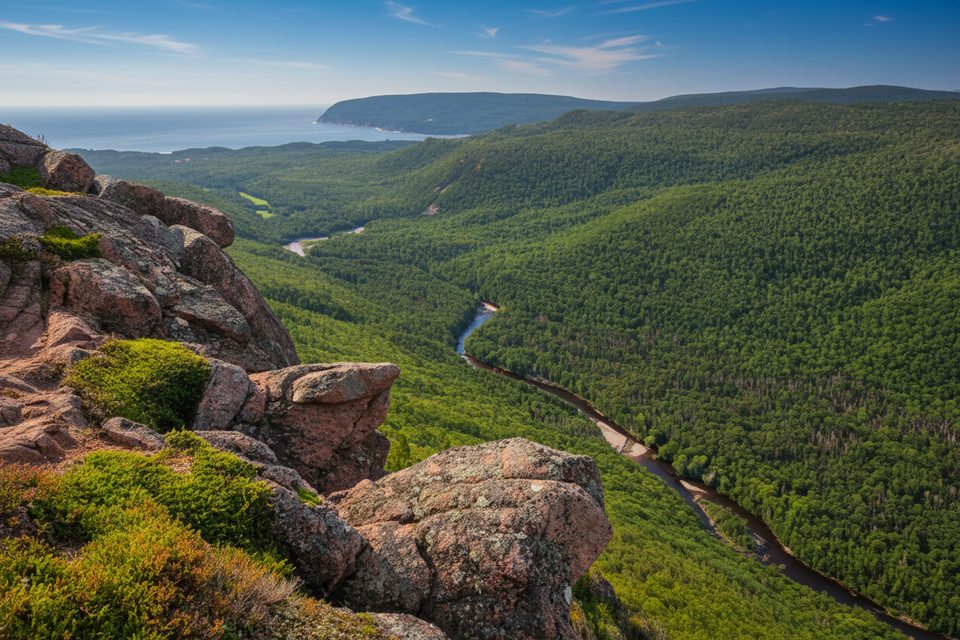
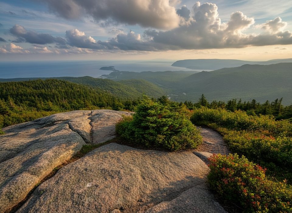
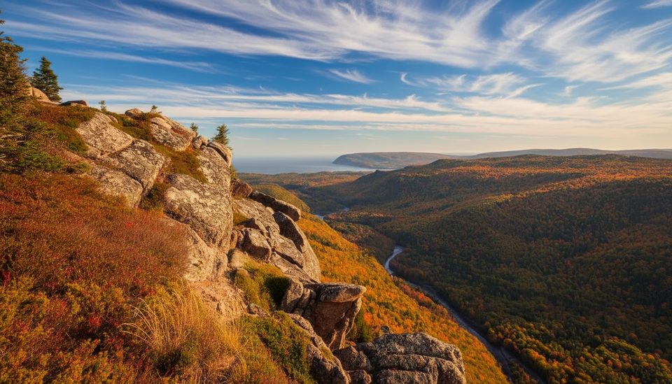
If you’re chasing bigger views, consider nearby Franey or Middle Head for dramatic coastal and highland panoramas; use this one when you want a quieter forest‑and‑river day with a dash of history.
Trailhead just north of the Clyburn River bridge off the Cabot Trail via a short fire road. A park pass is required. If you use the first large parking area, the signed start is about 2.5 km farther, adding ~5 km round trip; when open, drive closer to the bridge‑side parking to keep the hike to the standard length.
Sections can flood and turn rocky; the route beyond the gold mine is generally not maintained and may have blowdowns. Expect black flies and mosquitoes in summer. Bikes allowed on certain sections but the tread turns rough after ~2 km.
Place · 0.1 mi away
Place · 1.1 mi away
Place · 1.1 mi away
Place · 1.1 mi away
Challenging · 0.1 mi away
Challenging · 0.1 mi away
Easy · 1.1 mi away
Easy · 1.1 mi away

Parkwolf Tour Guide
