
Place · 0 mi away
Challenging
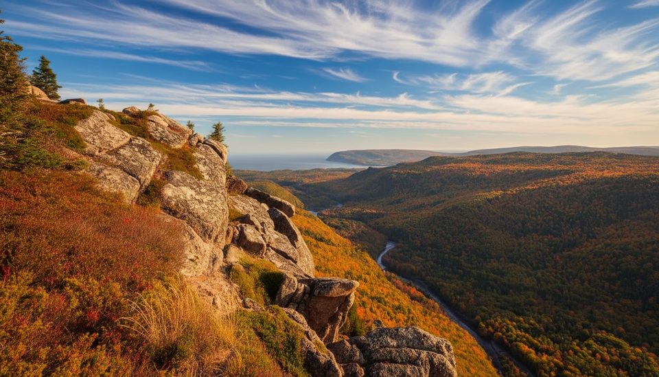
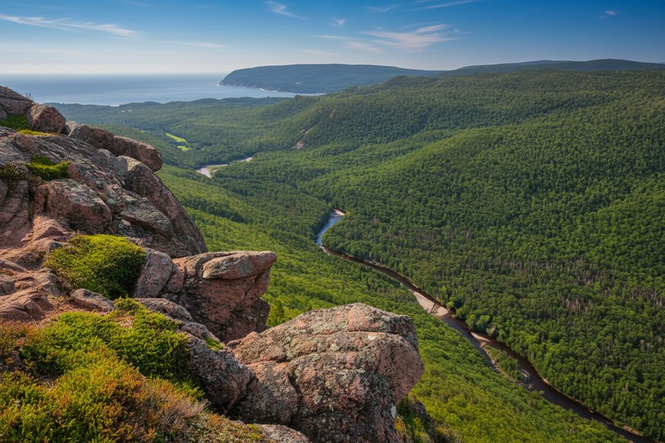
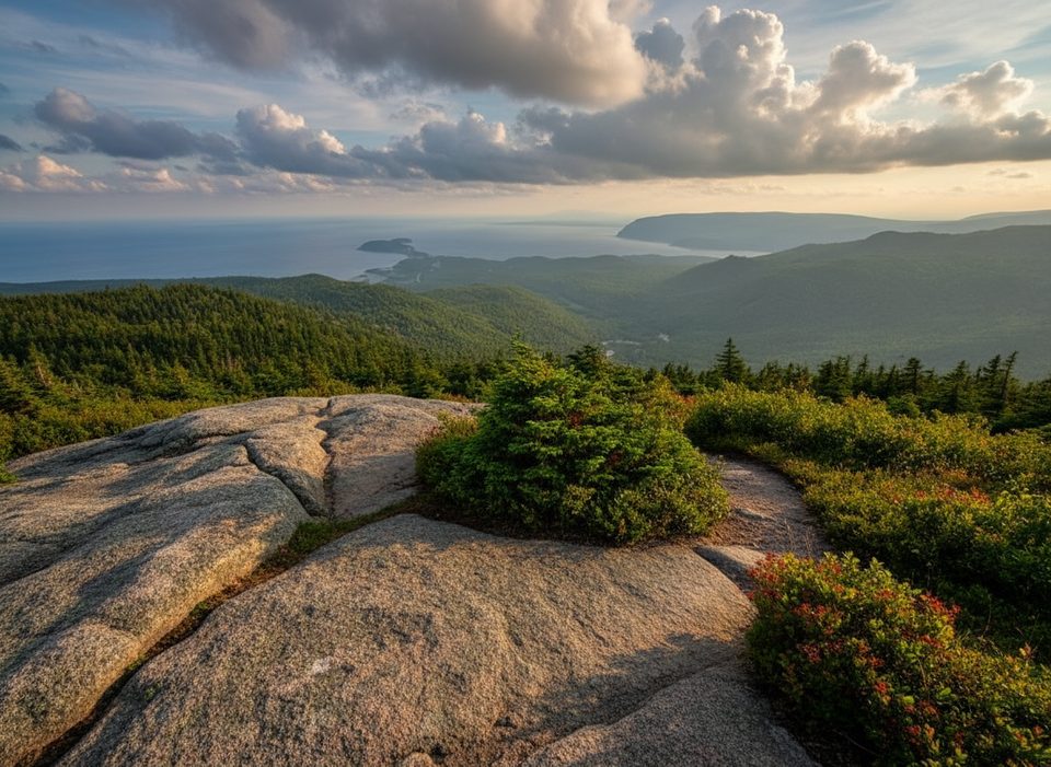
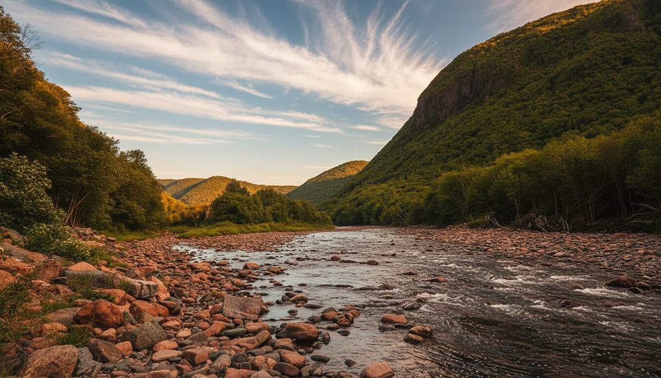
A park classic for view-chasers, the Franey Trail is a 7.4 km/4.6 mi loop with a sustained climb and huge payoffs. Officially rated Difficult, it rises from the valley toward lookoffs over Clyburn Brook canyon and the Atlantic coastline from Cape Smokey to Ingonish. Expect rugged singletrack with roots, rock steps, and built stairs, then a wider, less scenic road for the descent. Most hikers need about 2–3 hours.
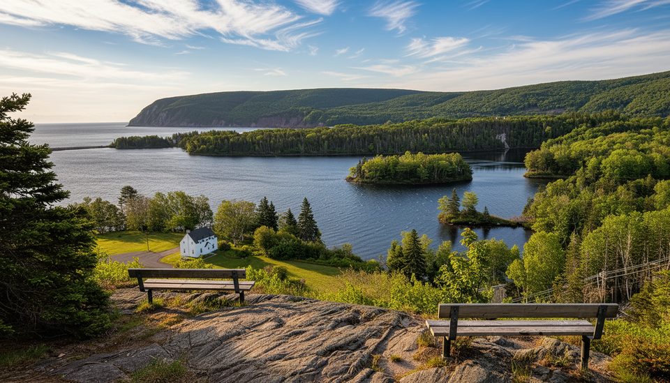
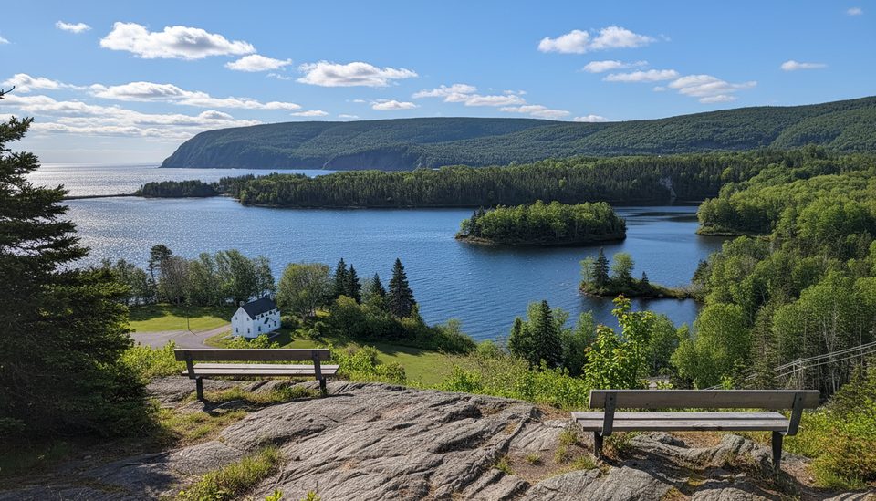
The loop starts gently through mixed Acadian forest before tilting upward and transitioning toward boreal species. Near the top, two lookouts deliver the money shots—panoramas of the river winding far below and the coastline stretching north and south. Red chairs mark the main perch; a short side spur reaches a bonus viewpoint many hikers prefer.
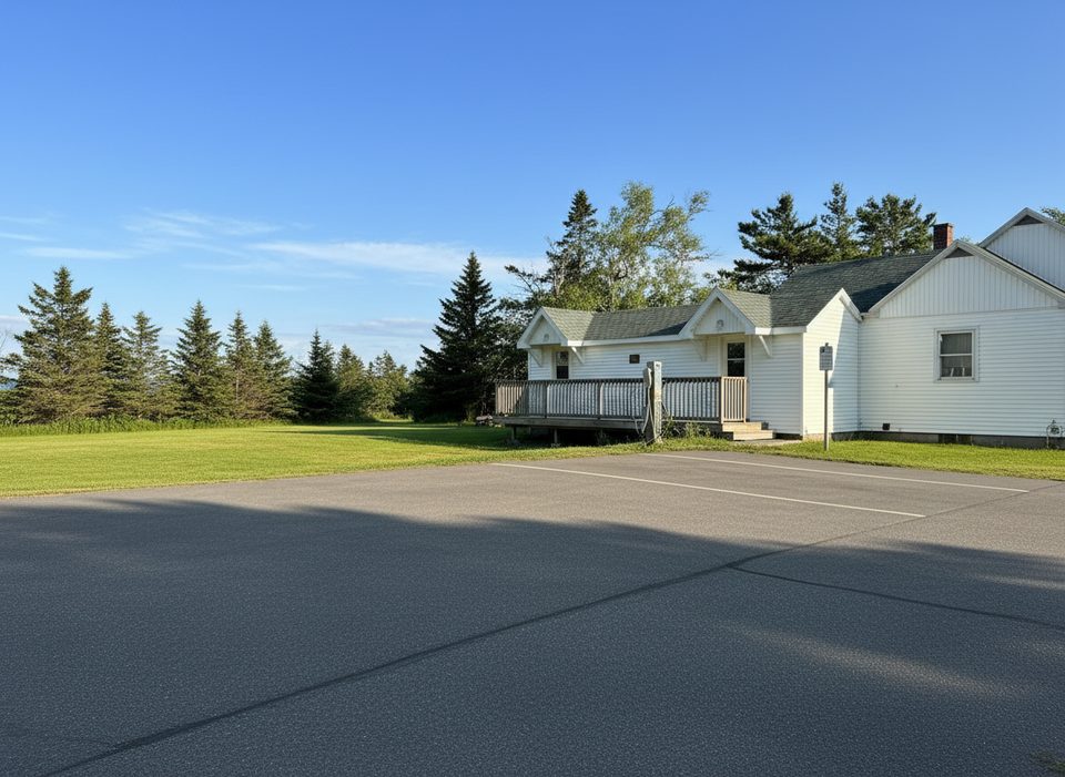
Trailhead access is off the Cabot Trail just north of the Clyburn River; follow the fire access (Franey) Road about 1 km to a small gravel lot. This lot fills fast during summer and fall, especially 11:00 a.m.–4:00 p.m. There’s an outhouse by the parking. Dogs are allowed but must stay leashed. A valid park pass is required.
Fall is prime for color and crisp air. Summer brings big views but also crowds and bugs—go early or late for space and softer light. Winter/shoulder seasons can be icy and are best for experienced hikers only.
As of late September 2025, the trail has been reported closed for construction work. Conditions change—confirm status with the park before you go. If it’s closed, consider Middle Head for coastal drama, Broad Cove Mountain for a shorter summit pop, or Skyline on the park’s west side for clifftop grandeur.
From the Cabot Trail just north of the Clyburn River, turn onto the fire access/Franey Road and follow about 1 km to a small gravel lot; it often fills 11:00 a.m.–4:00 p.m. Outhouse on-site.
Steep cliffs at the lookouts—keep children well back. Limited cell service. Active wildlife (moose, bears, coyotes). Reported construction closures as of late September 2025; verify before heading out.
Place · 0 mi away
Place · 1.1 mi away
Place · 1.1 mi away
Place · 1.2 mi away
Challenging · 0 mi away
Easy · 0.1 mi away
Easy · 1.1 mi away
Easy · 1.2 mi away

Parkwolf Tour Guide
