
Place
Moderate
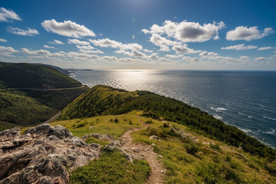
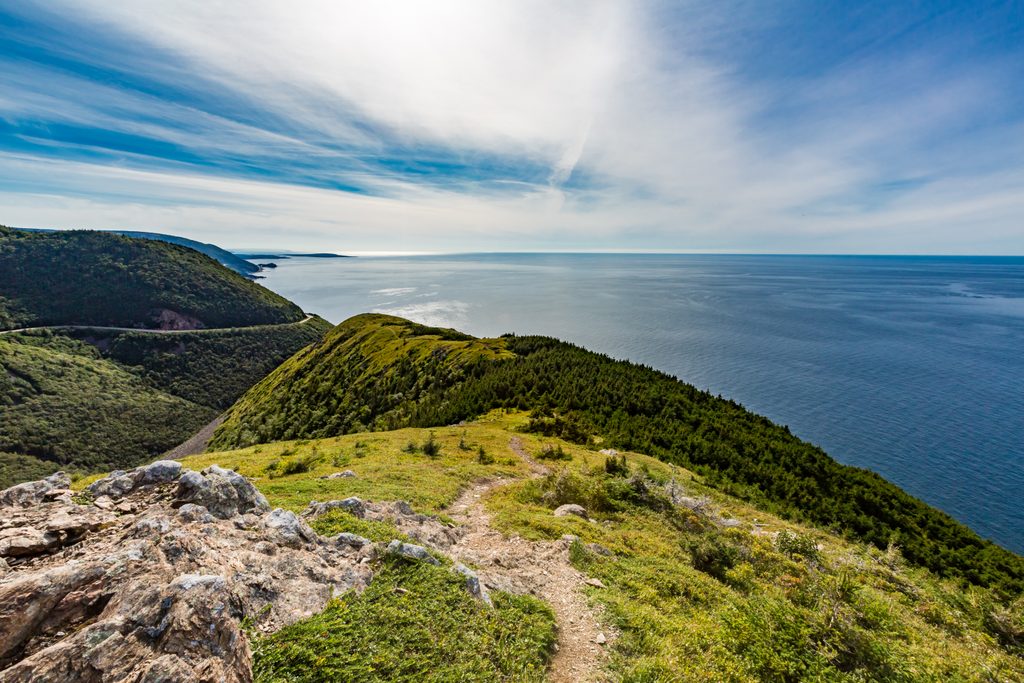
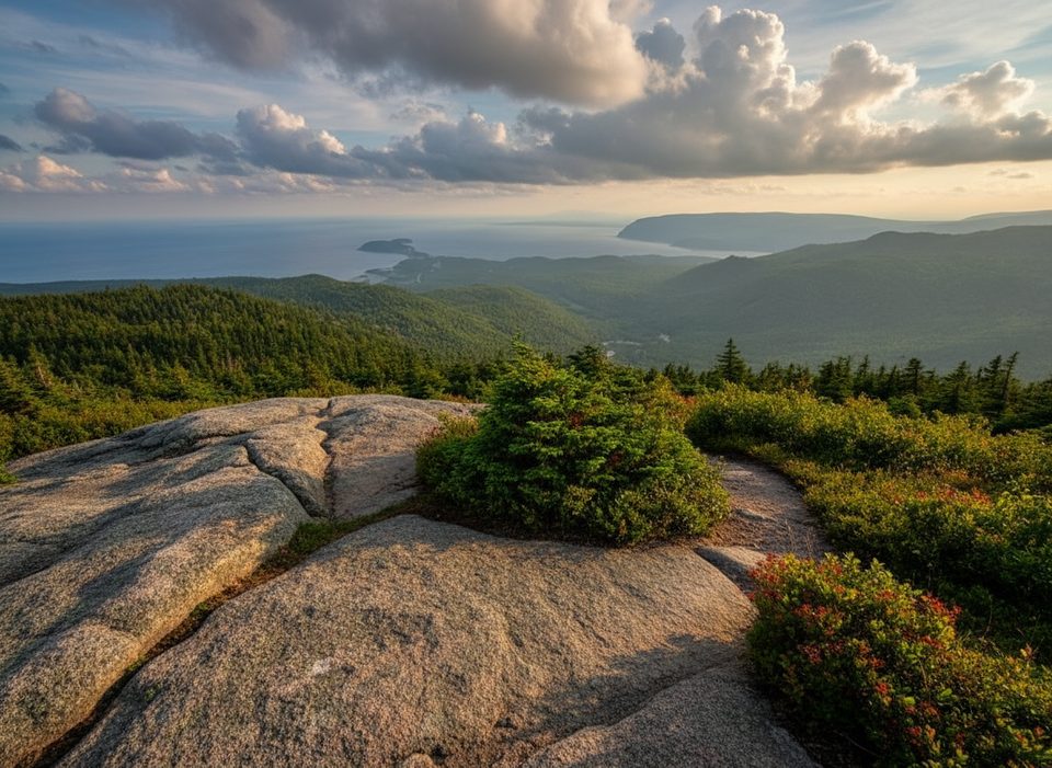
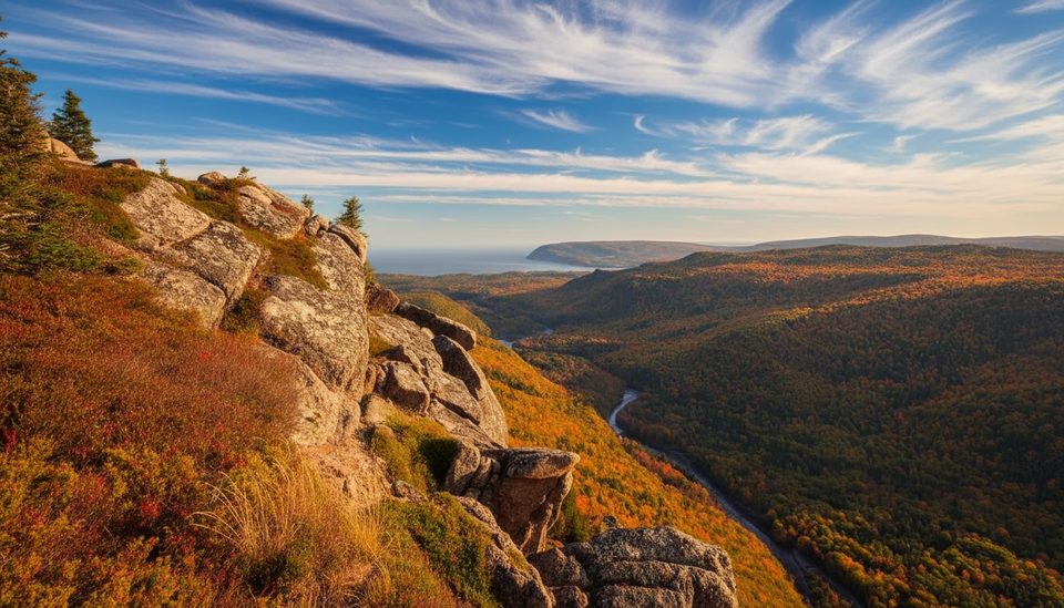
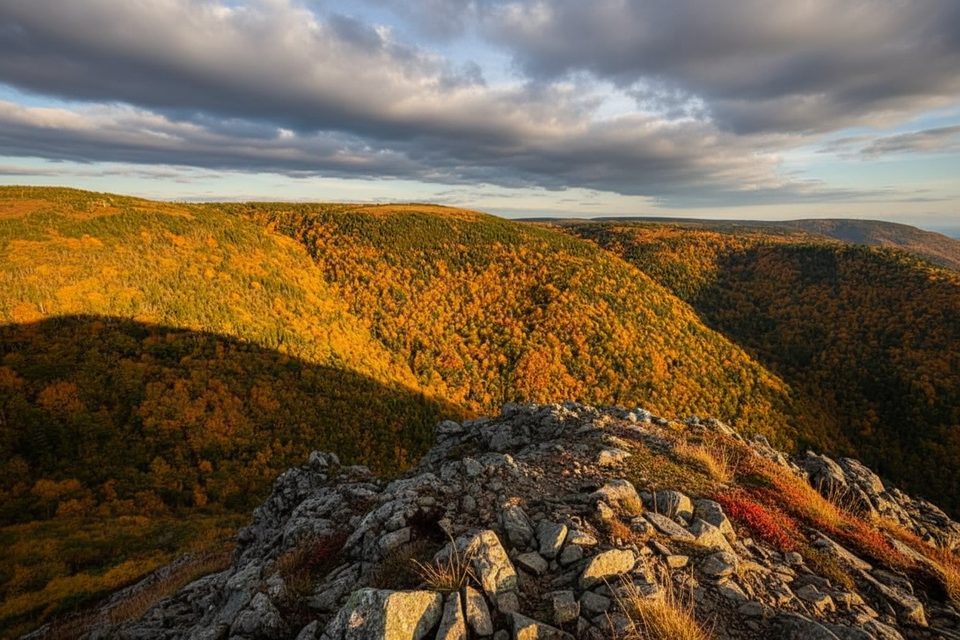
This out‑and‑back highlands walk serves up big‑sky views with far fewer crowds than the park’s marquee trails. Starting near Paquette Lake, you’ll climb gradually from mixed softwoods onto taiga‑like barrens—think stunted trees, huckleberries, and bracken—before reaching a panoramic look‑off over the Glasgow Lakes area. It’s 5.7 miles total (9.2 km return), typically 3–4 hours, with a few rugged stretches and plenty of exposure.
From the Paquette Lake parking area, follow the main path across windswept barrens and through pockets of softwood forest. Early on, the tread is improved and wide, with several built look‑off platforms and benches. At the signed fork, bear right for Glasgow Lakes Look‑off (the left branch heads to Mica Hill). The side path to the summit/look‑off delivers sweeping views across the plateau and out toward the coast.
Expect a steady but manageable climb with sections that turn rough and very wet in some seasons. After heavy weather, water can run right down the steep, boulder‑strewn tread, and higher sections may even hold early‑season snow. Footing can be muddy for long stretches. Overall difficulty lands in the moderate range, but conditions can make it feel tougher.
You’re walking a classic Cape Breton Highlands plateau—open barrens with taiga‑style vegetation and stunted tree growth shaped by wind and weather. Keep an eye out for larger wildlife sign and give animals space if encountered.
Late summer into early fall generally offers the firmest footing and the clearest views. Shoulder seasons can be saturated and windy on the plateau, and daylight drops quickly in autumn—start early to be off the high ground before dark. Cell service is spotty, so don’t count on it for timing or navigation.
Wear waterproof footwear you don’t mind soaking and consider a hiking stick or poles for slick, rocky bits. Pack a windproof layer—the plateau is exposed even on fair days. Build a time buffer if recent rain, snow, or standing water is likely. A standard park entry pass is required; no special permit is needed for this trail.
If you split at the fork, the left branch to Mica Hill shares the same trailhead and offers broad 360° views across the barrens and the Aspy fault, with notable quartz and mica outcrops—handy if you want a geologic twist to your day.
Drive Paquette Lake Road and park at Paquette Lake (46.834629, -60.434124).
Expect mud, standing water, and water flowing down rocky grades; exposed, windy plateau with spotty cell coverage and potential early snow—start early in autumn.
Place
Place

Place
Place
Easy
Challenging
Challenging
Challenging

Parkwolf Tour Guide
