
Place · 0 mi away
Challenging
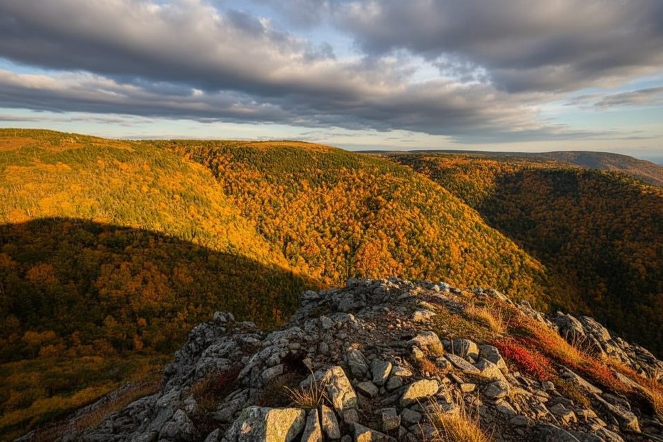
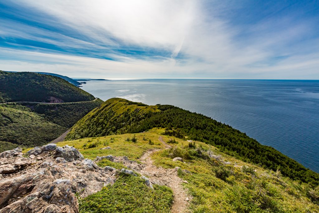
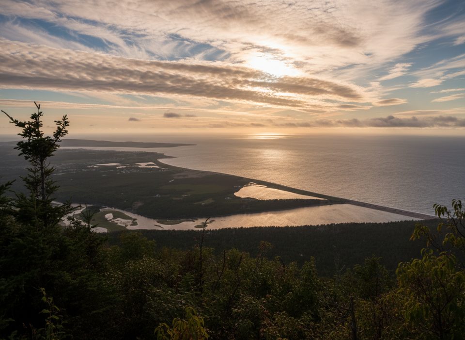
An unofficial, unmaintained out‑and‑back with a real “hike” feel, Blueberry Mountain climbs steadily to sweeping views over Cape Breton. It’s about 4.2 miles (6.8 km) round trip with roughly 1,463 ft (450 m) of gain, and most hikers take 3–3.5 hours total. Expect far fewer people than the Skyline Trail—and many think the views here are even better.
The path follows a single in‑and‑out route with a steady, gradual grade. Underfoot you’ll have roots, rocks, and brushy sections, and you’ll step over a few shallow creeks and freshwater streams—waterproof boots help. There’s no official signage and it’s not maintained, but the track itself is generally easy to follow.
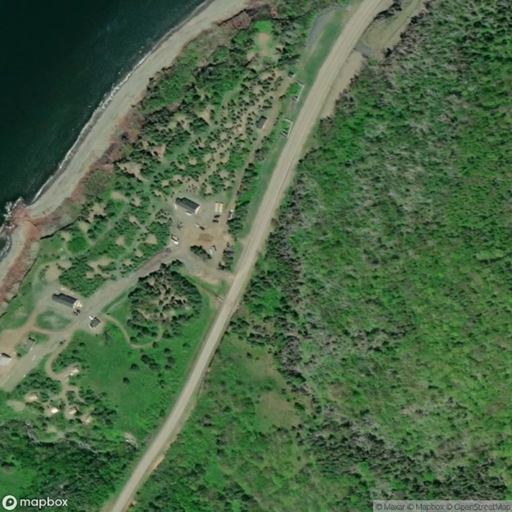
From the Chéticamp Visitor Centre, drive about 11 km north on the Cabot Trail. After passing Corney Brook Campground, park at the Cap Rouge lookout/parking area on the left (when coming from Chéticamp). The trailhead is directly across the highway from the Cap Rouge sign—look for a small clearing leading into a break in the trees. Because this isn’t an official trail, don’t expect Parks staff to provide directions.
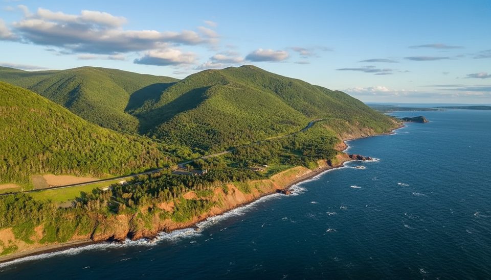
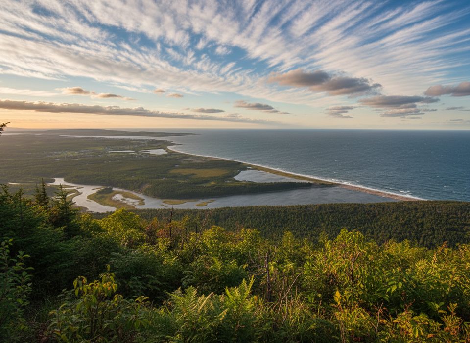
As you gain elevation, the forested start opens to big, unobstructed coastal panoramas. In season, you’ll notice wild blueberries along with raspberries and bunchberries. Keep an eye out for eagles overhead. Bears frequent the area when berries are on, so give wildlife space and come prepared.
This ridge gets cold and windy up high, so aim for a clear, calmer day. It’s a great alternative when Skyline feels packed or hits capacity during peak times. Start early or later in the day for quieter vibes and softer light.
Wear sturdy waterproof boots, long pants and sleeves for brush, and bring layers for wind at the top plus plenty of water. Carry an offline map/GPS; navigation is simple but there’s no signage. Consider bear spray and know how to use it. A valid park pass is required to be in the park. If you encounter any closure signage, choose another hike. Recreational drones typically require a permit in national parks—don’t fly without one.
Park at the Cap Rouge lookout lot about 11 km north of the Chéticamp Visitor Centre; the unmarked trail starts across the highway through a small clearing opposite the Cap Rouge sign.
Not an official, maintained trail: no signage, overgrown brush, roots/rocks, and shallow creek crossings. Bears are common in berry season; carry bear spray. It can be cold and windy at the summit. A valid park pass is required.
Place · 0 mi away
Place · 0.2 mi away
Place · 0.9 mi away
Place · 1.2 mi away
Easy · 0.9 mi away
Easy · 2.9 mi away
Easy · 3.2 mi away
Easy · 4.1 mi away

Parkwolf Tour Guide
