Parking
Use designated Skyline Trailhead parking on the Cabot Trail near the top of French Mountain.

#1 of 27 trails in Cape Breton Highlands
Cape Breton Highlands National Park, NS
From the boardwalk, the Cabot Trail looks toy-sized.
Overview
Map & elevation
Plan your hike

The highest, rockiest slopes around here are a summer buffet for grizzly bears.
Cape Breton Highlands Tour Guide
Parkwolf is a GPS audio tour guide for Cape Breton Highlands National Park. As you drive, it chimes in with what’s ahead: hidden gems, upcoming stops, history, geology, and wildlife, right through your car’s speakers.
See the Cape Breton Highlands audio tourRecorded for this trailhead
Skyline Trail“You're approaching the Skyline trailhead, where the walk ends at a cliffside boardwalk above the Gulf of St. Lawrence.”
Plays as you drive up to this trailhead in the Parkwolf Cape Breton Highlands Tour Guide.
More stories near here in the app
“Fantastic app with many points of information… It’s great to just turn on while you’re driving and it gives you an audio tour of the national Park. We love it!!!!”


Trail guide
Skyline Trail is an easy-to-follow 8.2 km (5.1 mi) loop from the Skyline Trailhead near the top of French Mountain. It follows a forest circuit, reconnects with the main trail, then descends stairs and a boardwalk to a cliff above the Gulf of St. Lawrence. Allow 2.5 to 3 hours. The headland is the reason to make room for it: you get a direct view of the Cabot Trail curling down the mountain and a wide stretch of the Gulf. Most of the main trail is level, but the stairs make the final section a real effort and rule out a step-free walk.
Turn right at the fork for the full marked forest loop. Staying left takes the shorter 6.5 km (4 mi) out-and-back to the headland and back, skipping the extra forest circuit while keeping the same big view. Keep that choice in mind on your return. The full loop can be walked in either direction, but the opposite direction leaves you with a longer walk back to the parking area after the boardwalk.
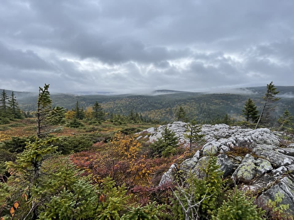
The approach and forest loop use a mostly level gravel or compacted path. It is a straightforward walk through trees, with open stretches and a few changes in tread, rather than a technical route. The longer circuit adds a different way through the woods; if your group is mainly here for the headland, the shorter return route saves time without giving up the viewpoint.
Near the headland, the main trail gives way to wooden steps and boardwalk. The stairs are the route's main physical catch: you descend to the viewing decks and climb back out, so take your time if stairs slow anyone in your group. The trail's easy rating reflects the broad, generally level path, but the full experience is not all flat walking.
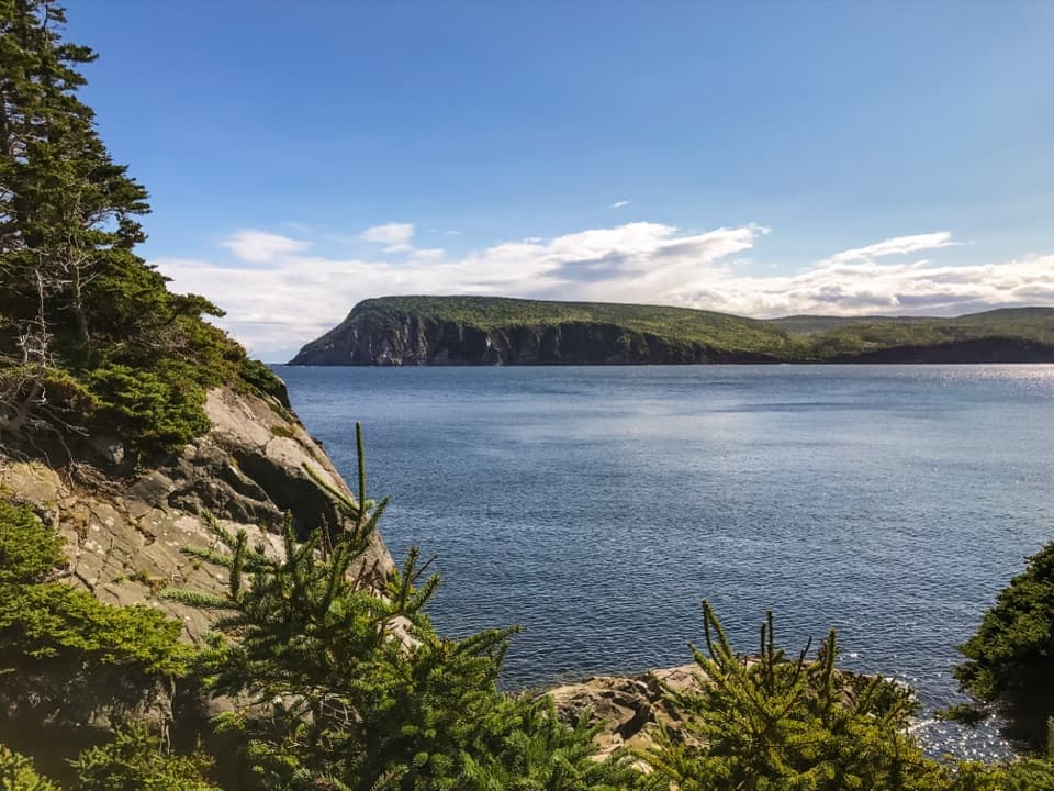
The boardwalk reaches an exposed headland above rugged coastline. Below, the Cabot Trail bends around the mountain and cars look tiny against the slope. The viewing decks open onto the Gulf of St. Lawrence; this is the place to pause, look for whales, and take in the coast. For a photo, include the boardwalk or a section of the winding road in the foreground so the cliff and distance read clearly. Stay on the boardwalk: the plants on the headland are fragile.
Moose, bears, bald eagles and boreal birds live in this area, though a sighting is never a sure thing. Whales may be visible from the decks when they pass through the Gulf. Give moose plenty of room, and keep children close near the cliff edge. Dogs are not permitted on the trail because they can disturb wildlife.
Washrooms are available at the trailhead. No drinking-water stop or food service is listed at the lot or along the route, so arrive with what you need for a 2- to 3-hour hike. The forest shelters you more than the open headland, where wind can feel much stronger; a light layer is useful on cool or breezy days.
Wildlife
 180 sightingsMooseMost seen around 5 AMSighting map
 60 sightingsBlack BearMost seen around 6 PMSighting map
 48 sightingsBald EagleMost seen around 8 AMSighting map
 29 sightingsGrey SealMost seen around 7 AMSighting map
 14 sightingsCoyoteMost seen around 8 PMSighting map
 10 sightingsWhite-tailed DeerMost seen around 6 AMSighting map
Sighting maps show where each species has been reported across Cape Breton Highlands. Wildlife moves, so no sighting is guaranteed.
Keep exploring
 EasyCorney Brook Trail6.4 km · 2 hr · 3.9 km awayA shaded hardwood canyon follows the brook to a small waterfall.
 EasyBog Trail0.5 km · 15 min · 4 km awayA short, wheelchair-accessible boardwalk through a highland bog.
 EasyBenjie's Lake Trail3.1 km · 1.3 hr · 4.5 km awayA quiet lake and wooden landing cap this level highland walk.
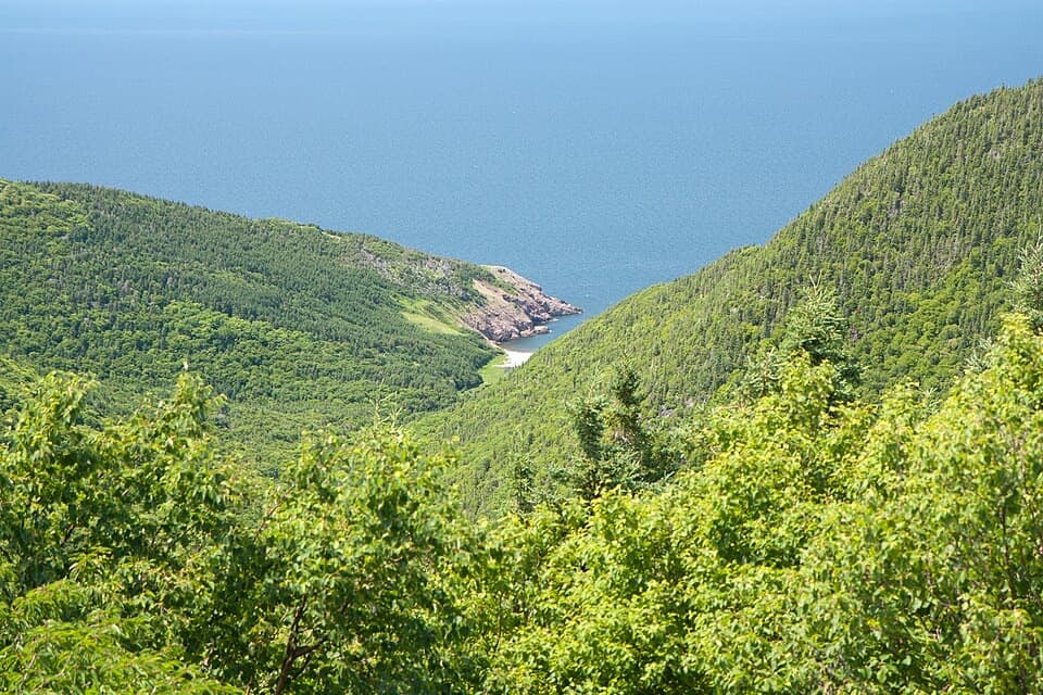 ChallengingFishing Cove12 km · 5.5 hr · 4.5 km awayA 12 km cove hike with a tough climb back out.
 EasyLe vieux chemin du Cap-Rouge9 km · 3 hr · 5.1 km awayOld road, Acadian history, and a Gulf look-off at the end.
 EasyLe Buttereau Trail1.6 km · 38 min · 9.5 km awayA short hill loop through Acadian fields, with Gulf views.
 EasyLe Chemin du Buttereau4.7 km · 1.5 hr · 11.1 km awayEasy historic cart path past Acadian homestead traces.
 EasyMacIntosh Brook Trail1.7 km · 36 min · 11.5 km awayAn easy brookside stroll with a waterfall at the end.
 Scenic pullout · 1.8 km awayFrench Lake Look-OffA quick lake-view pause along the Cabot Trail.
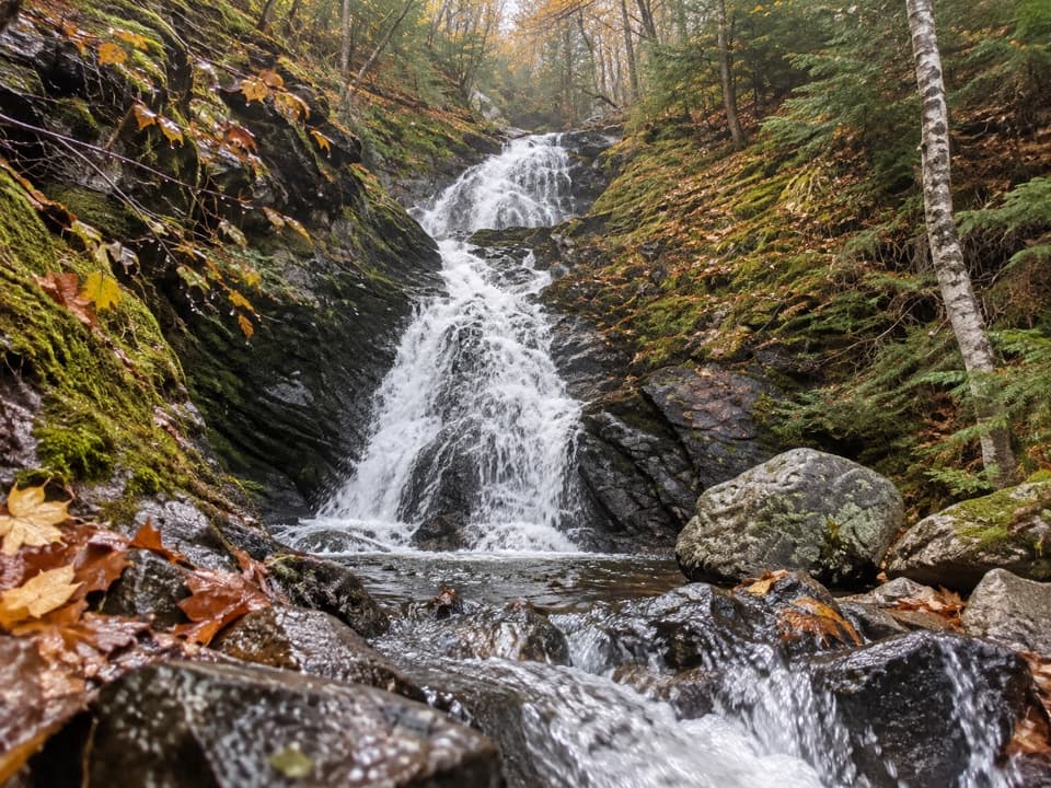 Sight · 2.7 km awayCorney Brook FallsA 9 m waterfall rewards a quiet walk beside the brook.
 Sight · 3 km awayVeteran's MonumentA war memorial adds history to this sweeping Cabot Trail view.
 Campground · 3.9 km awayCorney Brook CampgroundA simple oceanside camp with surf audible from some sites.
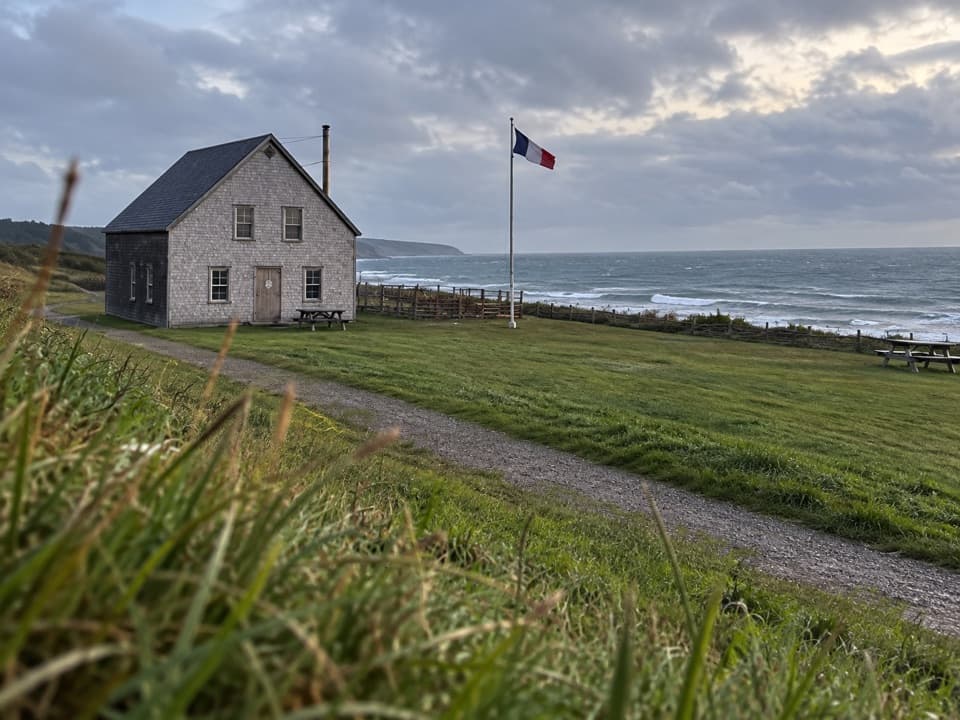 Campground · 5.1 km awayMkwesaqtuk/Cap-Rouge CampgroundA Gulf-side camp with cliff views and a cobblestone beach.Scenic pullout · 5.7 km awayFishing Cove Look-offA quick roadside view 335 metres above Fishing Cove.
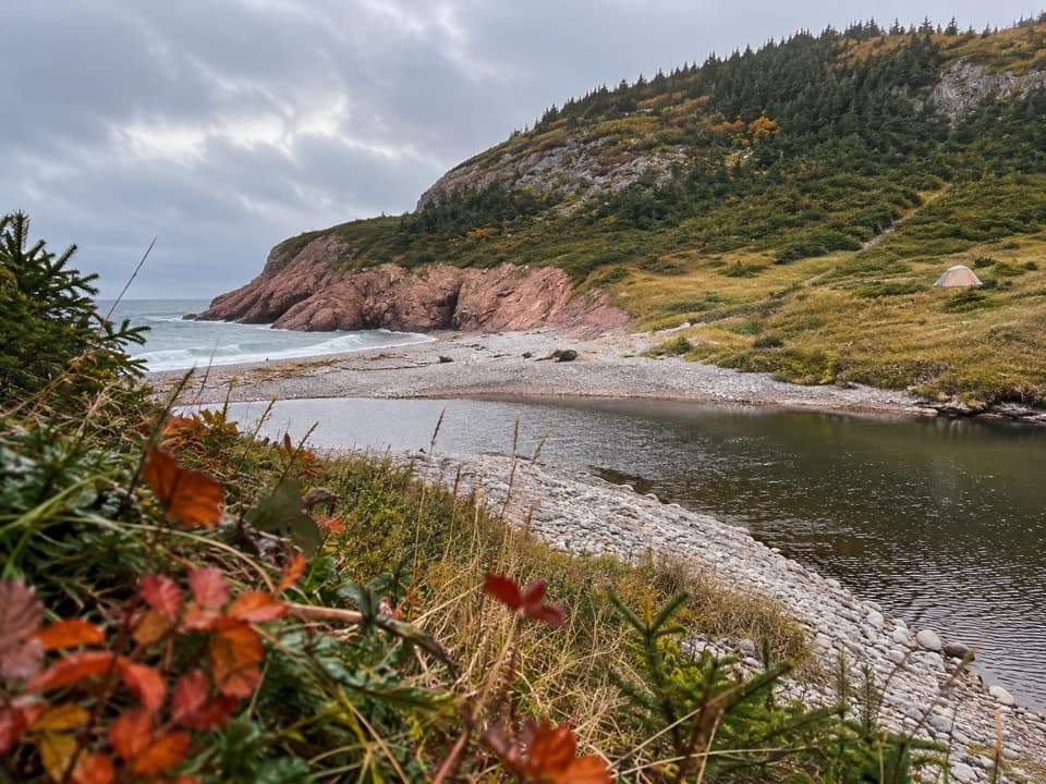 Campground · 5.9 km awayFishing Cove Backcountry CampgroundEight reservable wilderness sites at the bottom of a steep coastal hike
 Beach · 6.8 km awayLa Bloc BeachA pebbly Gulf beach with old wharf remains and Acadian history.
Parkwolf’s Cape Breton Highlands ranking

The audio tour guide for the drive, plus offline maps, trails, and wildlife heatmaps for when the signal drops.