
Place · 0.5 mi away
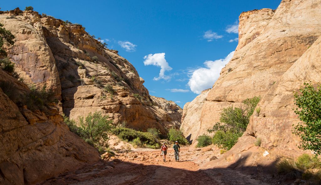
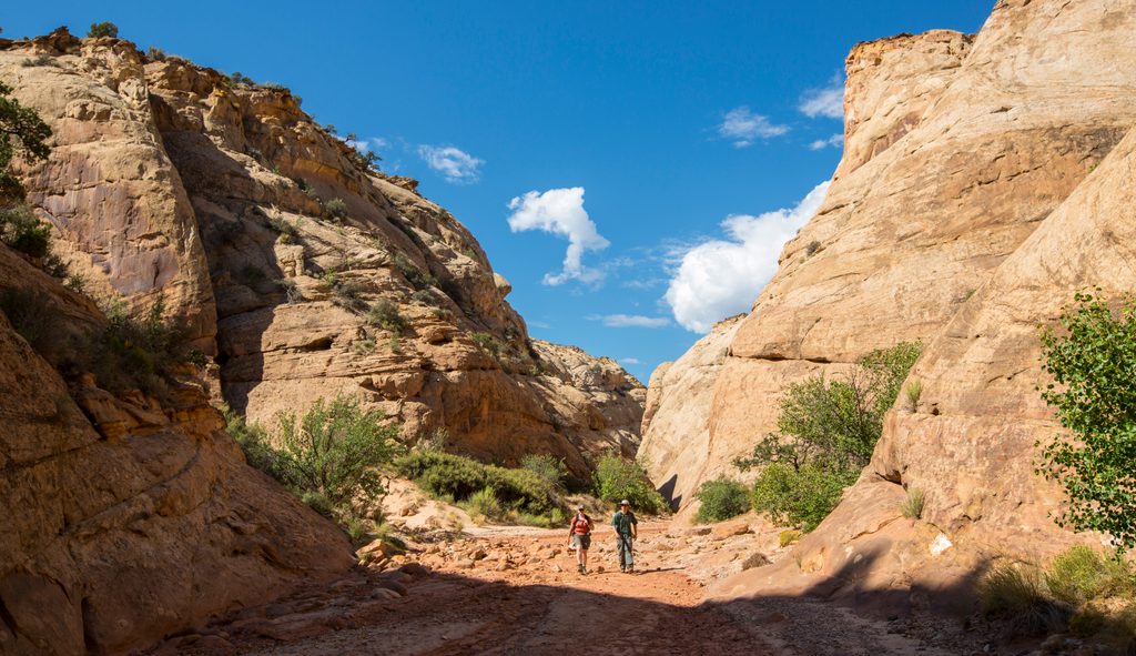
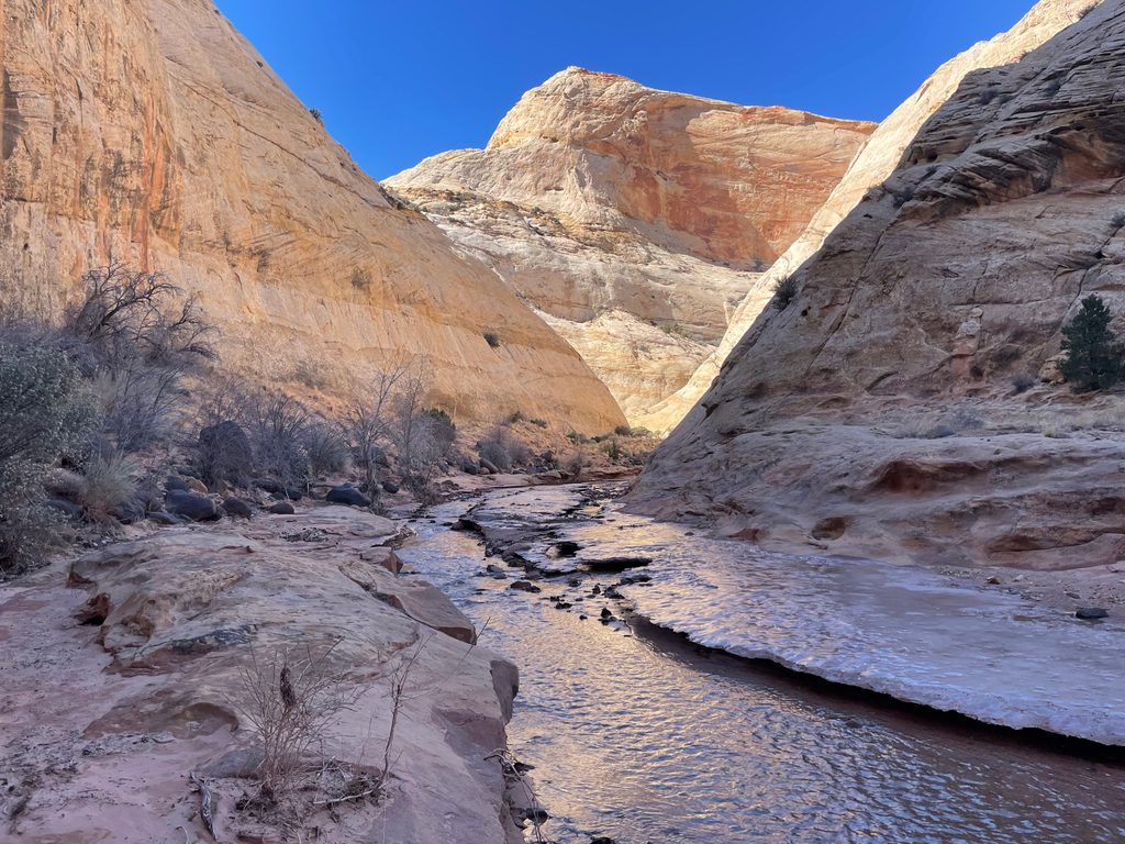
Capitol Gorge is a dramatic walk-through canyon at the end of the park’s Scenic Drive—pavement turns to a well-traveled dirt road for the last stretch. It’s popular for good reason: towering sandstone walls, a greatest-hits sampler of history and geology in the first mile, and a mostly easy path that works for a wide range of hikers. Just know you’re in a canyon, not a tight slot.
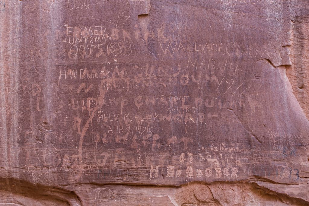
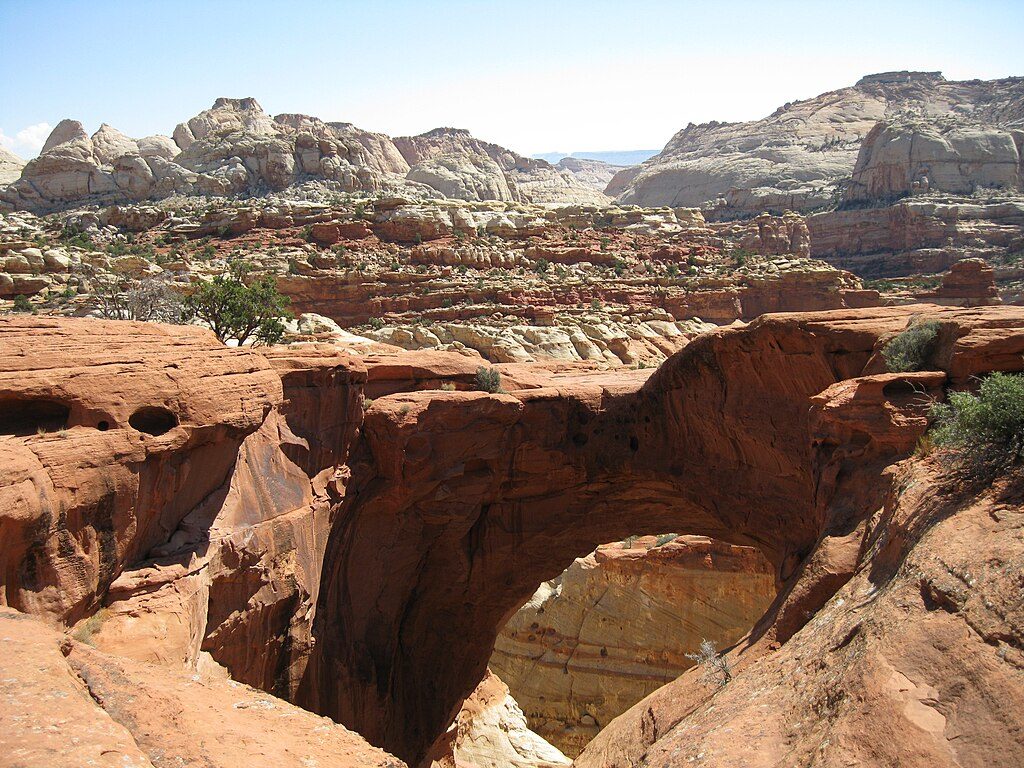
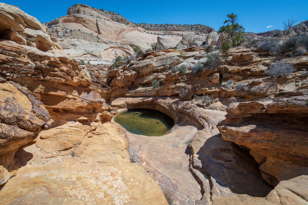
From the large parking area, the Capitol Gorge Trail heads down-canyon on mostly flat terrain. Within about the first mile you’ll pass a Fremont petroglyph panel, the famed Pioneer Register (hundreds of historic traveler signatures), a small arch, and the short, steeper spur to the Tanks—natural potholes that may hold water depending on recent weather. Many visitors turn around after the Tanks, making the outing roughly 2–4.5 miles round-trip depending on how much you explore. A rougher side canyon continues past additional potholes and dryfalls, and the main gorge can be followed farther for a longer day.
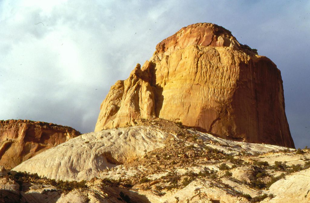
Two trailheads start here: one down the gorge, and another for the separate, steeper Golden Throne Trail.
Capitol Gorge cuts across the Waterpocket Fold, the park’s signature monocline. You’ll walk beneath sheer faces of Wingate and Navajo Sandstone—look for honeycombed solution pockets in the lower walls and broad, multicolored cliffs above. Human stories are etched into the rock: prehistoric Fremont petroglyphs and the Pioneer Register carved by 19th–early 20th century travelers.
Wildlife isn’t the headline here, but some visitors have reported seeing bighorn sheep near the water pools along the route.
This spot draws crowds thanks to easy access and lots to see—arrive early for open parking and a quieter canyon. With little shade, early morning or late afternoon offers kinder temps and better color on the walls. Skip the gorge during or after storms; the access road and the wash can be problematic when wet.
If you like a lot of payoff for modest effort, Capitol Gorge is an easy add to your itinerary.
Place · 0.5 mi away
Place · 1.1 mi away
Place · 3 mi away
Place · 4.6 mi away
Easy · 0 mi away
Easy · 0 mi away
Moderate · 0 mi away
Moderate · 2.1 mi away

Parkwolf Tour Guide
