Parking
From Scenic Drive, take the unpaved Capitol Gorge Road about two miles to its end and park at the Capitol Gorge Trailhead.

#4 of 48 trails in Capitol Reef
Capitol Reef National Park, UT
Follow a sandy gorge to historic names and stone waterpockets.
Overview
This is a roughly 2-mile out-and-back through a sandy sandstone gorge to a group of natural waterpockets called the Tanks. Allow about 1 to 1½ hours with time to look around. The long canyon walk is mostly easy, but sand slows your pace and the final spur climbs over uneven rock. It is a good short hike if you want close canyon walls and a bit of local history without taking on a long backcountry route.
 Parkwolf’s verdictIs this the hike for you?
Map & elevation
Plan your hike

The highest, rockiest slopes around here are a summer buffet for grizzly bears.
Capitol Reef Tour Guide
Parkwolf is a GPS audio tour guide for Capitol Reef National Park. As you drive, it chimes in with what’s ahead: hidden gems, upcoming stops, history, geology, and wildlife, right through your car’s speakers.
See the Capitol Reef audio tourRecorded for this trailhead
Capitol Gorge and Pioneer Register“Capitol Gorge's trailhead is coming up, with a short walk into the canyon's travel history. I'd start with the Pioneer Register, about half a mile in, then return the same way for an easier outing.”
Plays as you drive up to this trailhead in the Parkwolf Capitol Reef Tour Guide.
More stories near here in the app
“Fantastic app with many points of information… It’s great to just turn on while you’re driving and it gives you an audio tour of the national Park. We love it!!!!”


Trail guide
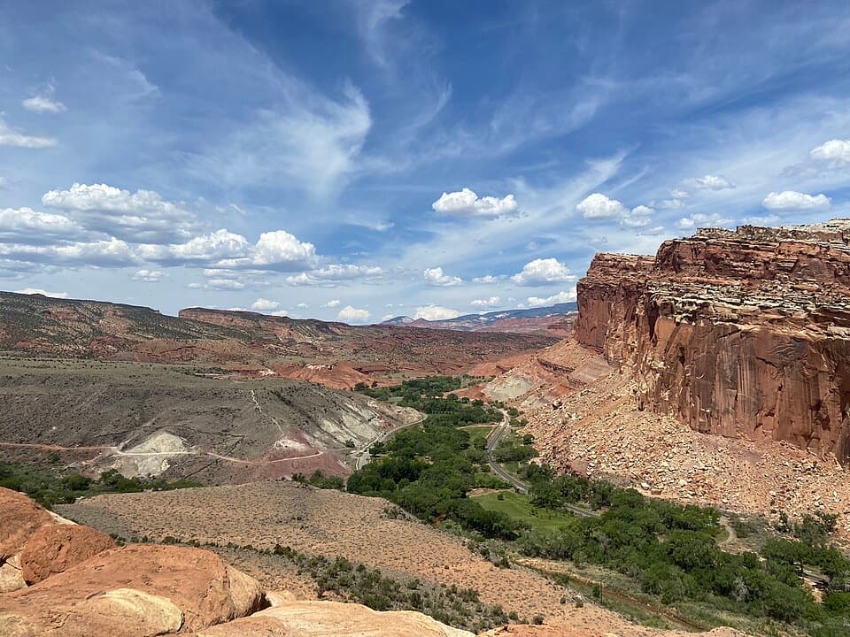
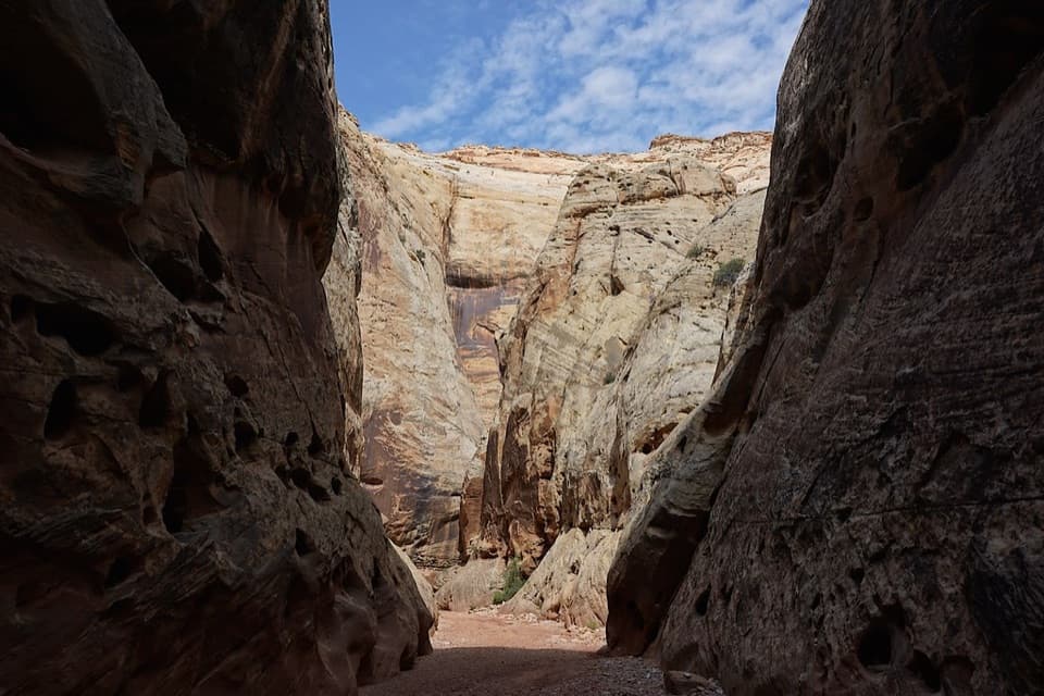
From the road-end trailhead, follow the worn path along the canyon floor. It can run beside the broad wash, where loose sand makes the walk feel longer than the grade suggests. The gorge narrows between high walls, then opens around bends; keep an eye on the north, or left, wall as you walk east. The historic inscriptions sit high above the wash, so they are easy to pass if you only watch your feet.
About half a mile in, look up for the Pioneer Register on the north wall. Names and dates left by travelers span 1871 to 1946; the earliest known entries are dated September 20, 1871. Some marks are faint, but the panel is a rare record of people who crossed this canyon long before it became a national park. It is protected history: look without touching the rock or adding a name.
The Tanks spur leaves the main gorge path and climbs into a side canyon. It is short but noticeably steeper and rougher than the sandy walk below, with cairns that can be easy to miss. The reward is a group of pothole basins and a small natural bridge near the side-canyon entrance. Treat the basins as rock formations, not a reliable water source; they are often dry. From the spur, turn back for a broad view down the gorge.
For an easier outing, turn around at the Pioneer Register for about 1 mile round trip. Capitol Reef lists a 1-mile Capitol Gorge walk, but its endpoint is not clear; this route’s mapped Tanks spur makes the full outing about 2 miles. Continuing beyond the Tanks toward the eastern park boundary creates a separate, roughly 4.6-mile round trip and is not included in this route or distance.
There is no potable water at the trailhead and little shade in the gorge. Spring and fall are the more comfortable seasons; summer heat can make this exposed wash a tough place to linger. Because the trail follows a canyon wash, flash floods are a serious hazard—stay out when storms threaten and move to high ground if water starts flowing. Pets are not allowed on park trails.
The parking area is at the end of the unpaved Capitol Gorge Road, reached from Scenic Drive. The view from the Tanks spur is worth a pause: frame the sandy wash below the pale cliffs to show how the narrow gorge opens into the larger landscape.
Wildlife
 50 sightingsBighorn SheepMost seen around 6 PMSighting map
 322 sightingsMule DeerMost seen around 6 PMSighting map
 70 sightingsMarmotMost seen around 7 AMSighting map
 13 sightingsCottontail RabbitMost seen around 7 PMSighting map
 33 sightingsTurkeyMost seen around 6 AMSighting map
 14 sightingsRavenMost seen around 9 AMSighting map
Sighting maps show where each species has been reported across Capitol Reef. Wildlife moves, so no sighting is guaranteed.
Keep exploring
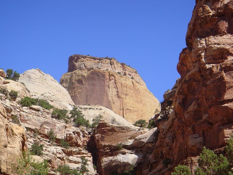 ChallengingGolden Throne Trail4 mi · 2.5 hr · At the trailheadA strenuous climb to a knoll below Capitol Reef’s Golden Throne.
 ModerateLower Pleasant Creek6.8 mi · 4.5 hr · 2.1 mi awayA sandstone canyon walk that keeps sending you across the creek.
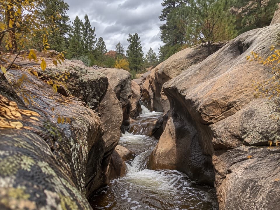 ModerateUpper Pleasant Creek Route7.6 mi · 5 hr · 2.1 mi awayWalk a narrowing creek canyon to cascades in pale sandstone.
 ChallengingOld Wagon Trail Loop3.8 mi · 3 hr · 2.5 mi awayA steady climb earns a long view over the Waterpocket Fold.
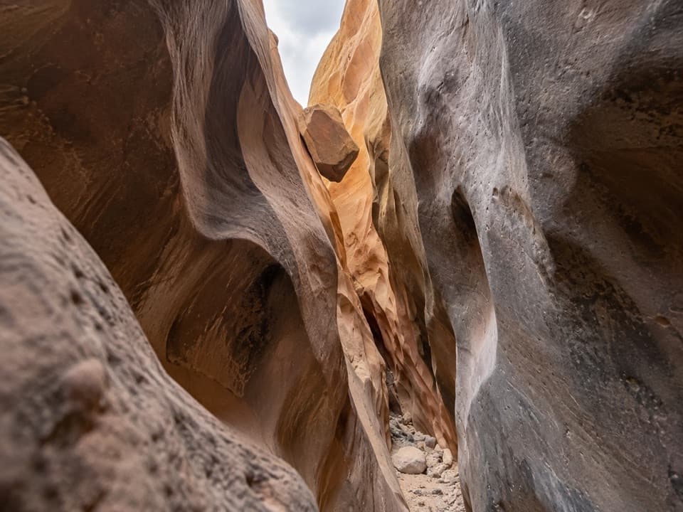 ChallengingBurro Wash6.8 mi · 5 hr · 4.5 mi awayA long sandy approach leads to shoulder-width sandstone narrows.
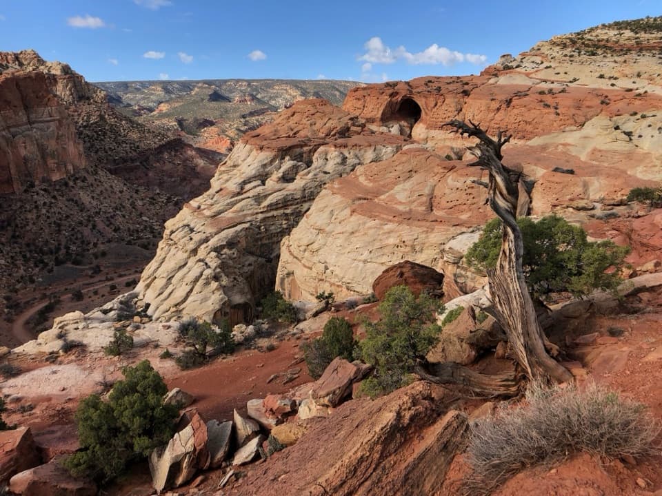 ChallengingCassidy Arch Trail3.4 mi · 3.5 hr · 4.5 mi awayA steep climb to a walkable arch above Grand Wash.
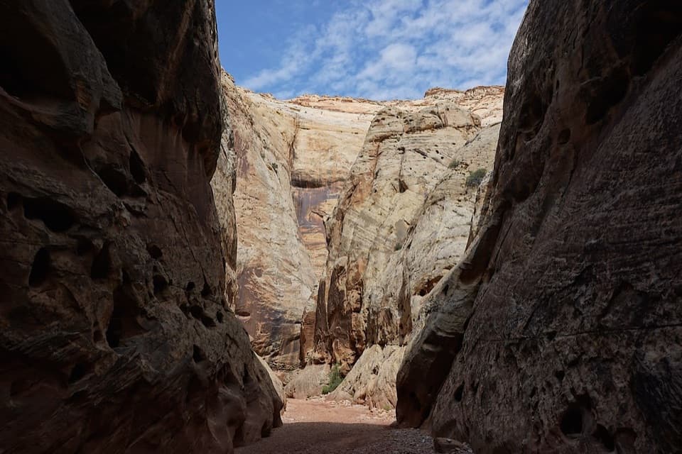 EasyGrand Wash Trail4.4 mi · 3 hr · 4.9 mi awayA gentle wash walk that tightens into shadowed sandstone narrows.
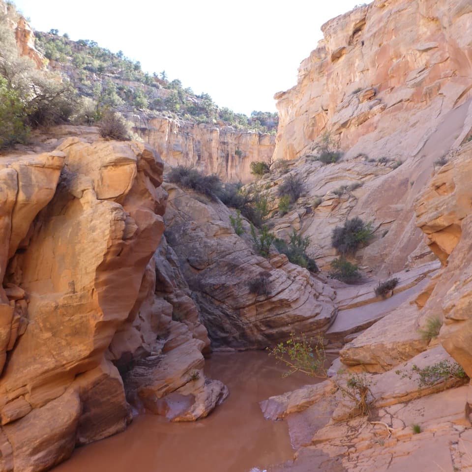 ChallengingCottonwood Wash6.6 mi · 5 hr · 5.3 mi awayA sandy wash gives way to scrambling and a 35-foot pour-off.
 Picnic area · At the trailheadCapitol Gorge Picnic AreaA covered picnic stop at the start of a storied gorge walk.
 Sight · 0.4 mi awayPioneer RegisterTwo prospectors left their names here on September 20, 1871.
 Sight · 0.7 mi awayThe TanksSmall rain-fed pools turn pale sandstone into living habitat.
 Sight · 1 mi awayGolden Throne ViewpointA four-mile hike to the sandstone dome above Capitol Gorge.
 Picnic area · 1.4 mi awayScenic Drive Picnic AreaA sheltered lunch stop at the end of the paved Scenic Drive.
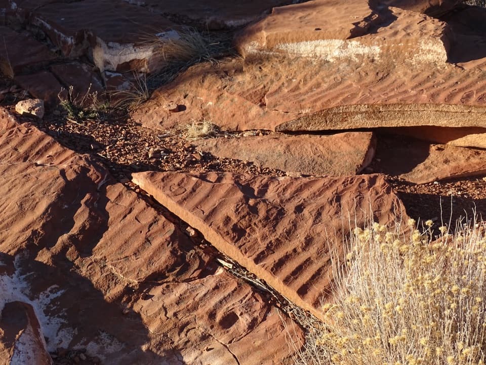 Sight · 3 mi awaySlickrock DivideA quick stop where ripple slabs sit on a drainage divide.Sight · 4.7 mi awayCassidy ArchWalk across a sandstone arch with Grand Wash far below.
 Sight · 4.7 mi awayGrand Wash NarrowsA tight sandstone passage worth the walk from Highway 24.
Parkwolf’s Capitol Reef ranking
The audio tour guide for the drive, plus offline maps, trails, and wildlife heatmaps for when the signal drops.