Pros & cons
PROS
- Rare hydrologic divide between Grand Wash and Capitol Gorge
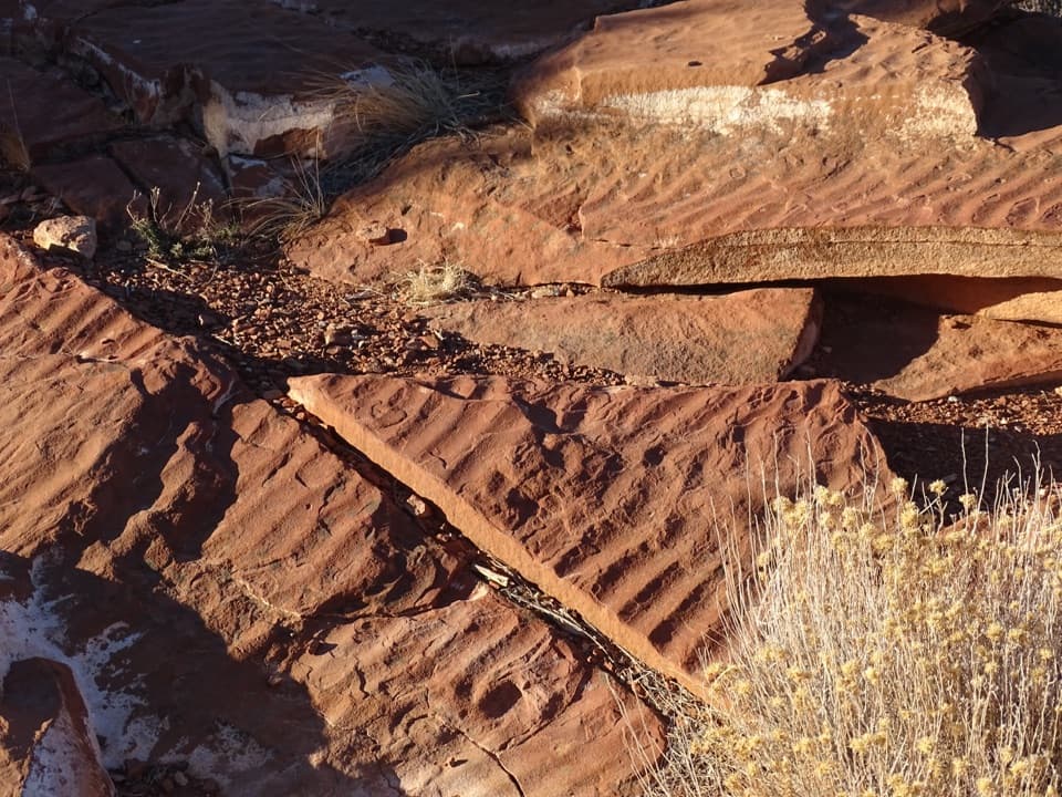
- Ripple rock slabs of the Moenkopi Formation on display
- Easy roadside stop with broad, photogenic views
CONS
- No amenities at the stop
- Small turnout that’s easy to miss
Overview
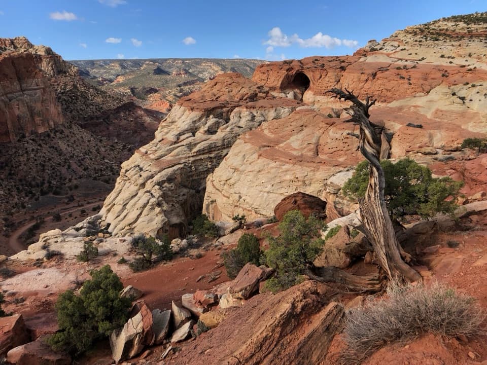
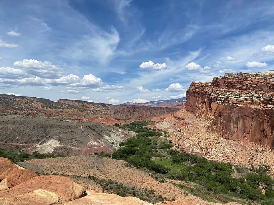
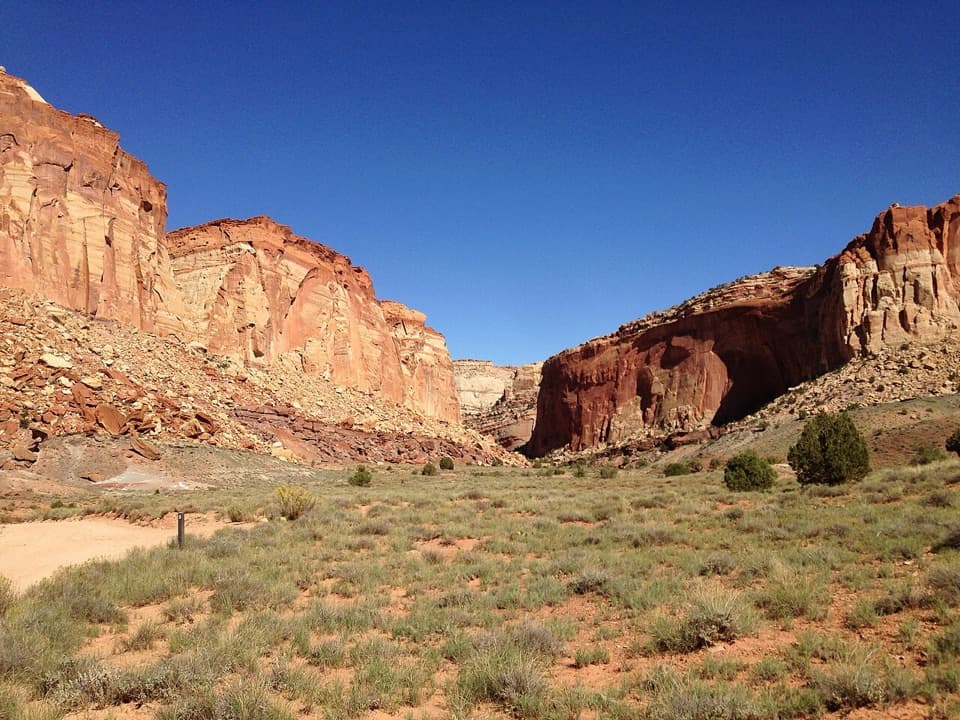
Slickrock Divide is a quick, often-overlooked pullout on the park’s Scenic Drive, tucked between Grand Wash and Capitol Gorge. It’s a low-effort stop with big geology: a short stroll from the pavement gets you wide-open views across the Waterpocket Fold and colorful sedimentary layers.
What Makes It Unique
This is a literal hydrologic divide—rainfall on one side drains toward Grand Wash, and on the other toward Capitol Gorge. It’s a simple, eye-level lesson in how water carves Capitol Reef’s canyons and washes. Look down near the pullout for rippled rock slabs from the Moenkopi Formation, preserving patterns from ancient riverbeds and tidal flats.
What You’ll See
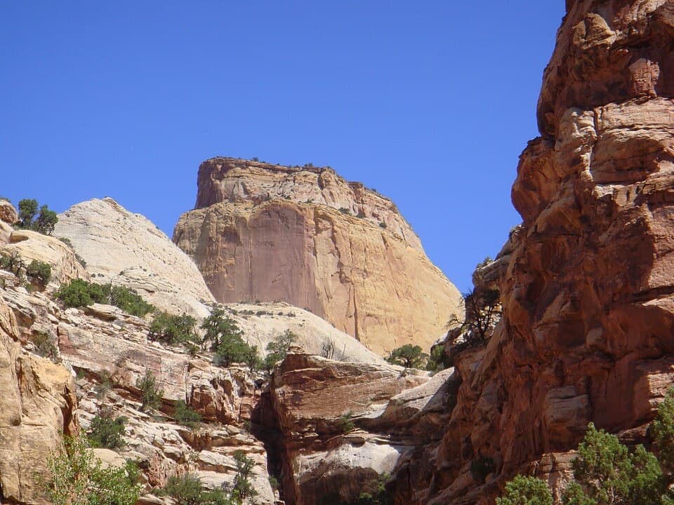
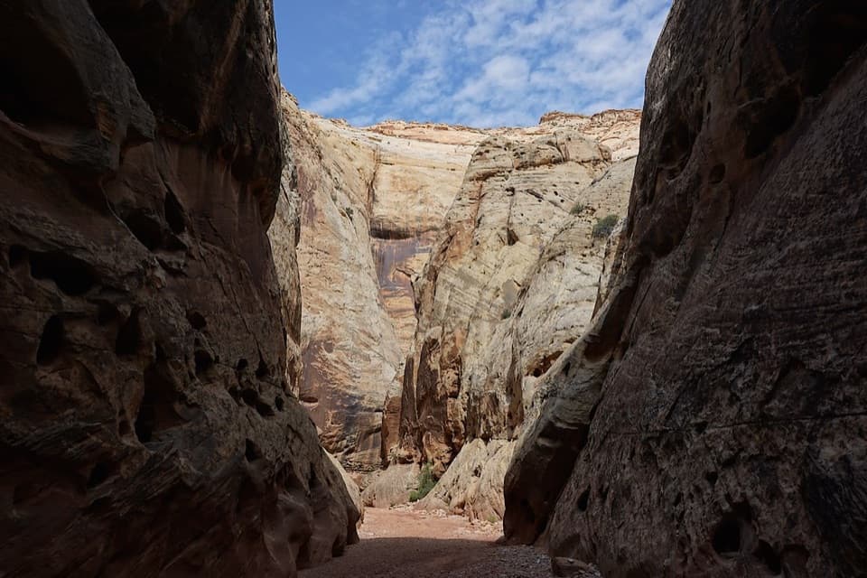
- Panoramic vistas of tilted, layered rock and the surrounding valleys.
- Ripple rock textures underfoot that record prehistoric water flow.
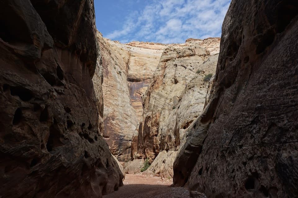
- The aftermath of desert storms—runoff patterns below can be dramatic after rain.
Logistics
Expect a paved pullout with informal walking on slickrock to slightly higher viewpoints. There are no services here—no restrooms, water, or shade—so keep this a self-sufficient stop. Most people spend 10–20 minutes unless they linger with a camera.
Wildlife
Wildlife isn’t the main draw, but typical desert sightings are possible. Think lizards or ravens moving through the open country; consider anything else a bonus.
Best Time to Visit
It’s open all day and generally uncrowded, partly because many drivers cruise right past the small turnout. For extra drama, swing by after rain to see how runoff moves through the adjacent washes—just avoid any flash flood warnings.
Tips
- Watch closely for the small Slickrock Divide sign; the pullout is easy to overshoot.
- Leave the ripple rock in place—collecting is illegal.
- Skip it during active storms; nearby washes can flash flood quickly.
Where it is
38.2246, -111.2205Tips for Slickrock Divide
- 01Watch for the small signed turnout; it’s easy to drive past.
- 02Plan 10–20 minutes unless you’re setting up photos.
- 03Visit after rain for dramatic runoff views, but avoid flash flood conditions.
- 04Bring water and sun protection—there’s no shade or services.
- 05Wear grippy shoes; the short wander over slickrock rewards with better views.
Amenities
Near Slickrock Divide
All places →All trails →
2 mi awayGolden ThroneGolden sandstone dome via a moderate, view-packed hikeTrailhead · Parking
2.4 mi awayGrand WashEasy canyon walk with dramatic narrows and soaring wallsTrailhead · Restroom
2.5 mi awayOyler MineGated uranium mine ruins by Grand Wash with bat habitat
2.9 mi awayCassidy Arch TrailShort, steep climb to a photogenic arch you can stand onModerate · 3.4 mi · 2.5 hr
2.9 mi awayCassidy ArchWalkable arch with sweeping views over Grand WashTrailhead · Restroom
3 mi awayGolden Throne TrailCapitol Gorge climb to the golden-stained Navajo sandstone domeModerate · 3.8 mi · 2.3 hr
3 mi awayCapitol Gorge TrailEasy canyon walk with rock art, the Pioneer Register, and waterpockets.Easy · 2 mi · 1.5 hr
3 mi awayThe Tanks (Capitol Gorge)Short canyon walk to waterpockets and the Pioneer RegisterEasy · 2.2 mi · 1.2 hr