
Place · 2.1 mi away
Moderate
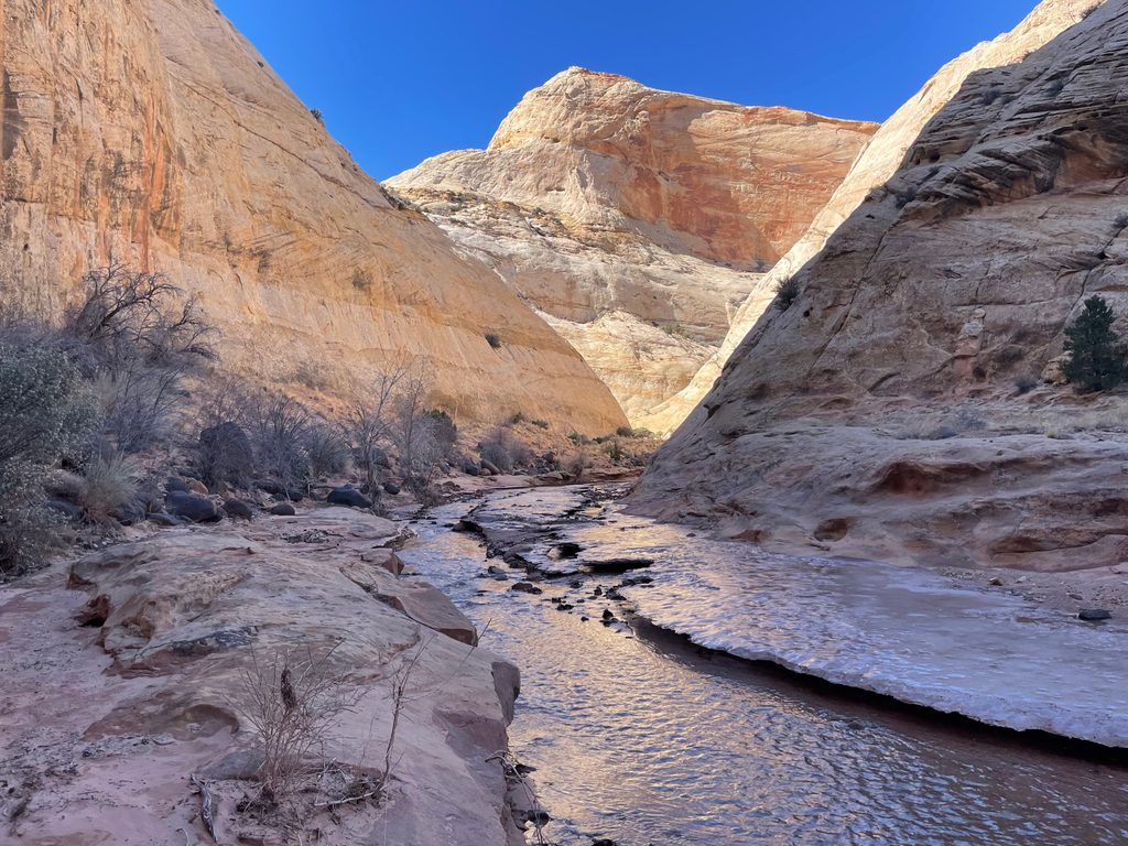
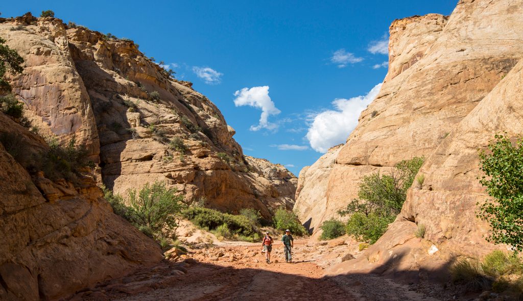
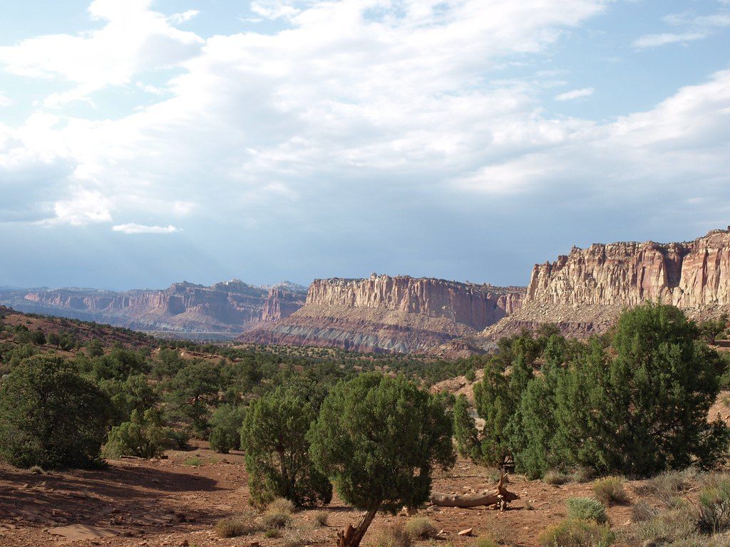
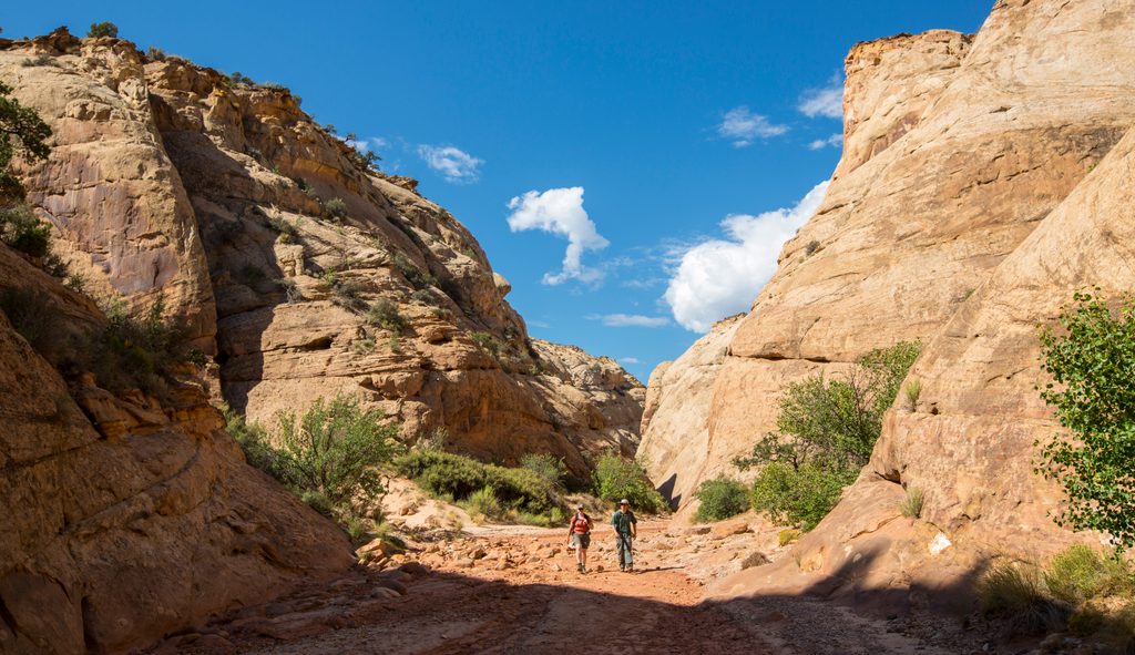
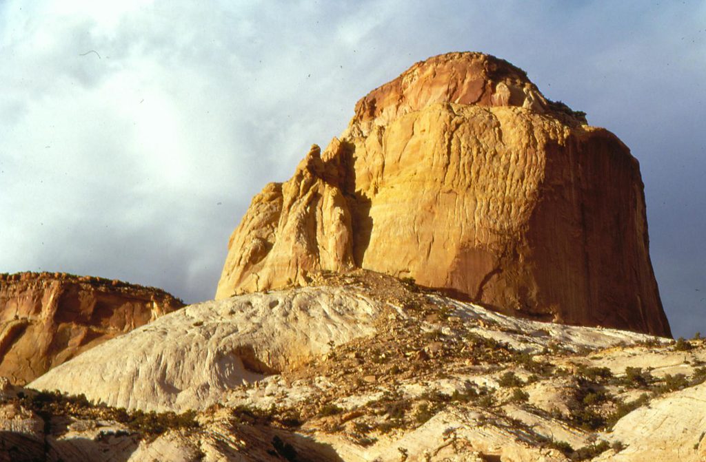
This is Capitol Reef’s quiet water-corridor walk: a mostly gentle, choose-your-distance ramble in a sandstone canyon carved by a perennial stream. It’s unmaintained and unsigned in places—more backcountry route than formal trail—so you’ll follow the creek, hop banks, and accept wet feet. Expect classic Capitol Reef scenery (Wingate and Navajo Sandstone walls), a big petroglyph panel, traces of old human use, and that rare, intimate look into the Waterpocket Fold.
Typical distances vary by turnaround point. A popular choice is following the creek downstream (east) toward Notom Road for about 3.7 miles one way; returning the same way makes it roughly 7.4 miles total. Elevation change is minimal (generally under 200 feet), but sand, brush, and constant crossings slow your pace.
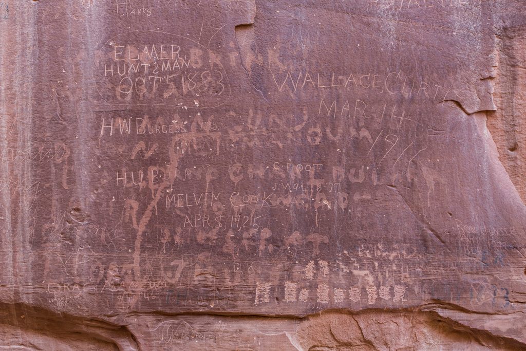
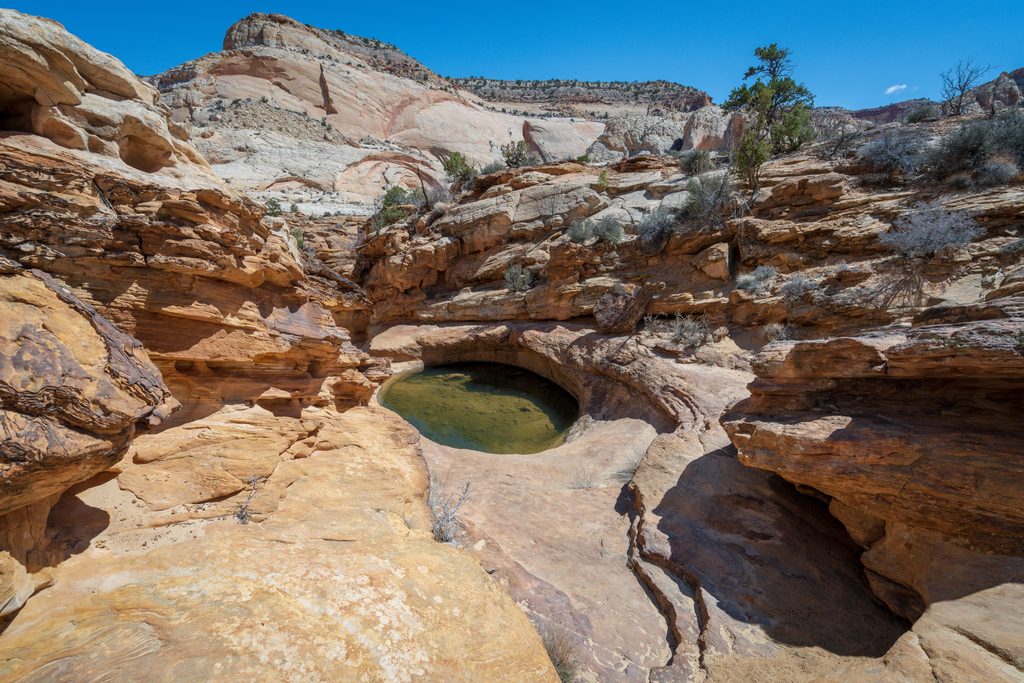
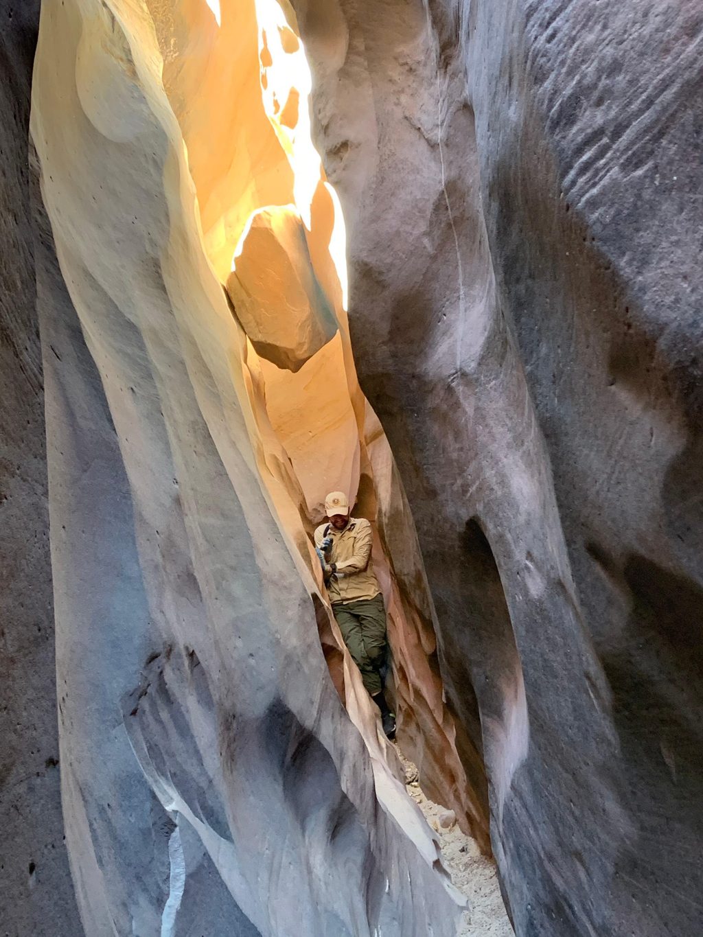
Plan on frequent creek crossings from the first half-mile onward—some are unavoidable. Surfaces alternate between sandy benches, muddy edges, shallow wades, and stretches of slickrock. The canyon pinches into short “mini‑narrows” with bathtub-like pools in spots, and informal paths appear and disappear along the banks. Watch for a substantial petroglyph panel and remnants of an old road and telephone line that once used this corridor—great reminders that people and livestock traveled here long before you.
Start from the Pleasant Creek parking area at the end of Pleasant Creek Road, a spur off the southern end of the park’s Scenic Drive. The road is unpaved but is typically passable to 2WD in fair weather. Park at the designated lot before the creek crossing and head downstream (east); upstream travel is also possible if you prefer to explore the other way.
Spring and fall offer the best mix of comfortable temps and photogenic light on the canyon walls. Summer can be hot, but the creek provides some cooling—start early for shade and softer light. It’s hikeable in winter, but cold water crossings aren’t for everyone. Skip this route if storm clouds are building; flash floods are a real hazard in a confined drainage.
If you like mellow canyon time, geology on display, and some route‑finding sprinkled in, this is an underappreciated gem—especially for hikers who don’t mind wet shoes and want fewer people than the park’s headline trails.
Park at the designated lot before the creek crossing at the end of unpaved Pleasant Creek Road, a spur off the southern end of Scenic Drive; typically passable for 2WD.
Unmaintained route with frequent wet crossings, E. coli in creek, flash‑flood risk, fragile biological soil crusts, brushy thickets, and occasional cattle drives in mid‑October.
Place · 2.1 mi away
Place · 2.4 mi away
Place · 2.7 mi away
Place · 3.7 mi away
Easy · 2.1 mi away
Easy · 2.1 mi away
Moderate · 2.1 mi away
Challenging · 4.7 mi away

Parkwolf Tour Guide
