
Place · 0 mi away
Easy
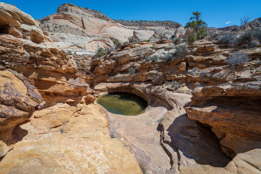
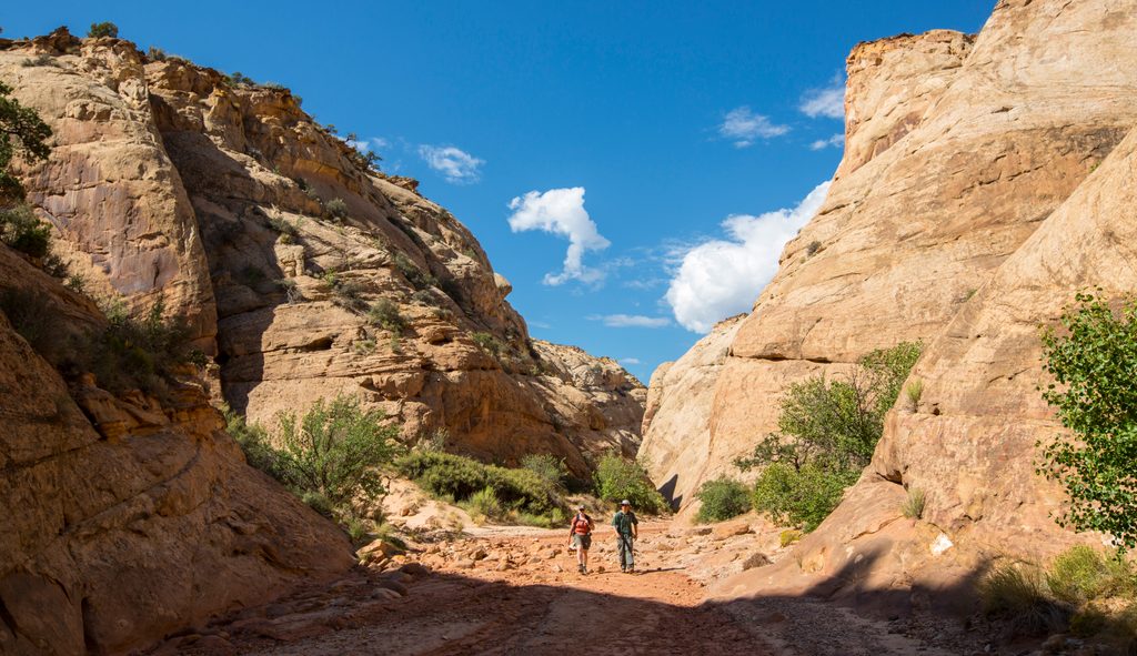
A high-value, low-effort sampler of Capitol Reef: a broad, sandy walk through Capitol Gorge capped by a short, steeper spur to a cluster of natural waterpockets called “The Tanks.” It’s about 2.2 miles total, out-and-back, and most hikers take 1–1.5 hours. Expect towering sandstone walls, historic inscriptions, and a brief slickrock climb for views into the gorge.
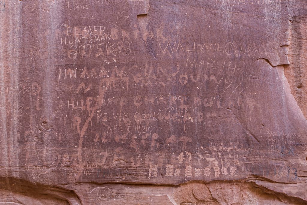
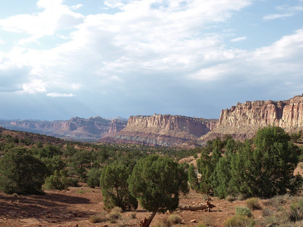
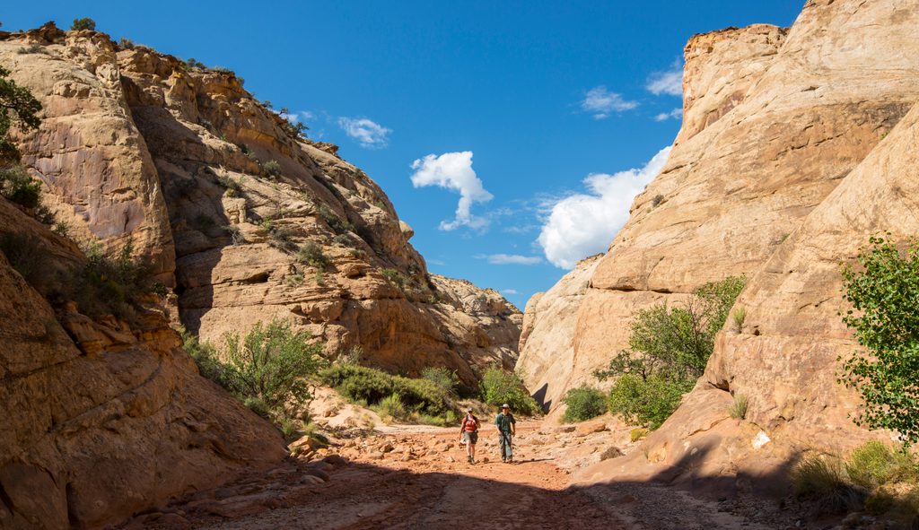
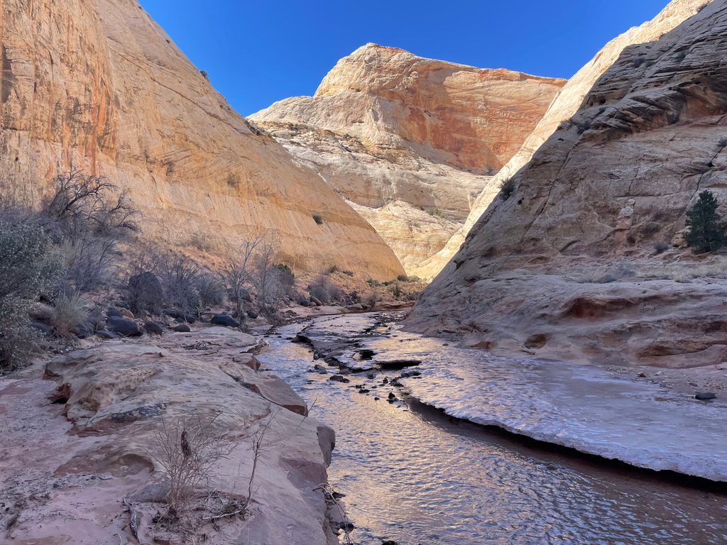
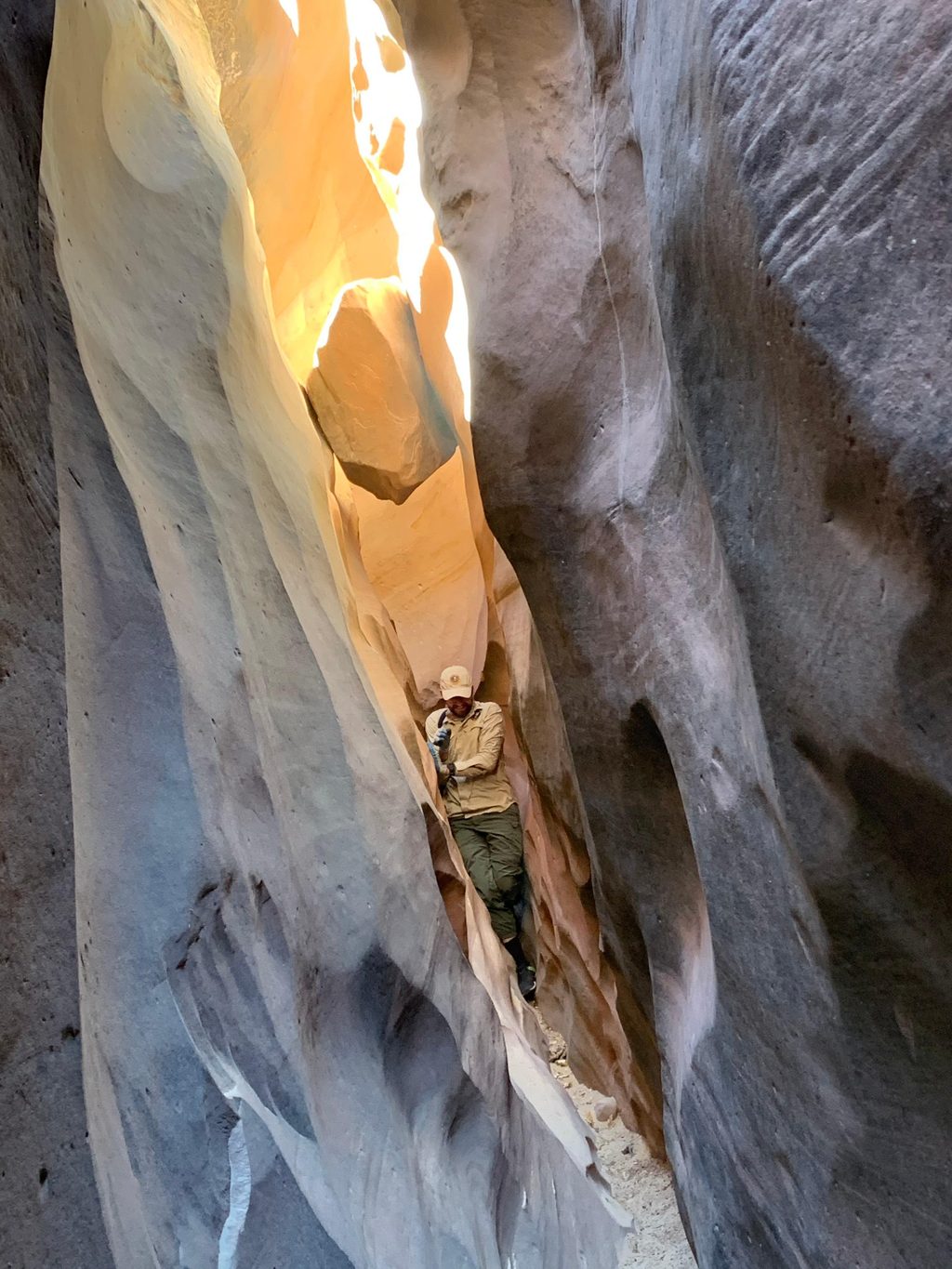
The main gorge is classic desert drama: sheer walls rising hundreds of feet, with a corridor feel that makes even a casual stroll memorable. Along the way, keep an eye out for the Pioneer Register—historic inscriptions from early travelers—and rock art on the canyon walls. The spur up to The Tanks leads to pothole basins that collect water after rains; even when dry, the overlook into Capitol Gorge is a worthy payoff. There’s also a small natural bridge near the Tanks that adds to the geologic interest.
The first part follows the sandy, mostly flat floor of Capitol Gorge on an obvious path. Watch for the signed side trail to The Tanks; it climbs briefly via switchbacks and slickrock with uneven footing. Overall it’s easy, but the spur feels moderate to some. Total elevation gain is modest (roughly 100–120 feet), concentrated on the spur.
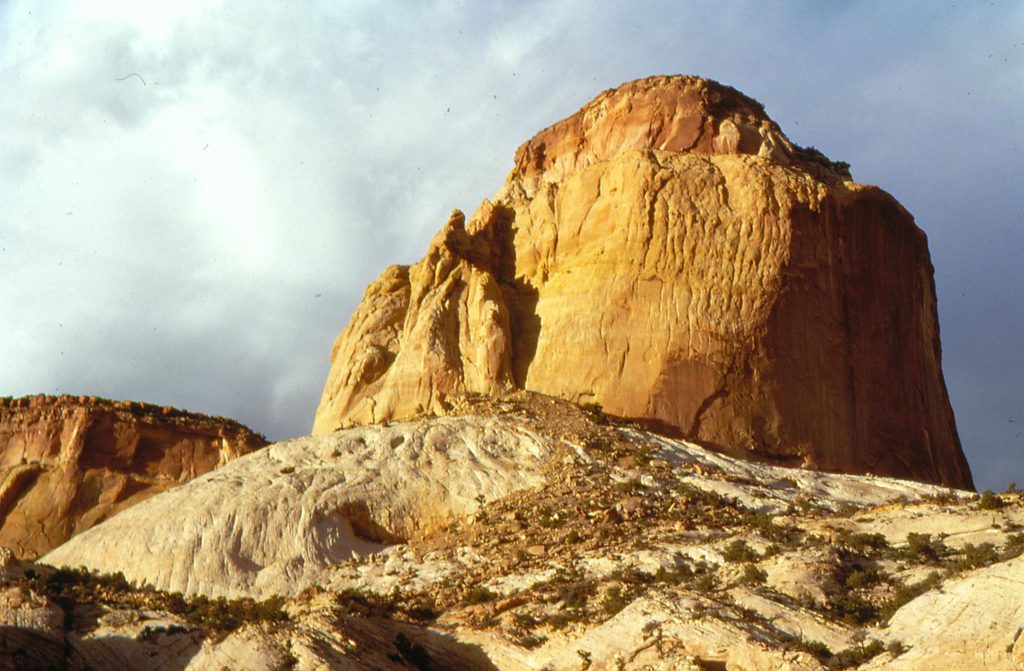
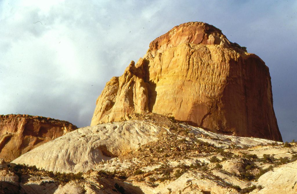
You’re walking within the Waterpocket Fold, with striking layers of Navajo and Page Sandstone and the Carmel Formation tipping and shifting in color—great visual geology in a small package. The canyon can feel serene early or late in the day, but this is a popular destination and crowds are common in peak season.
March–November offers the most pleasant conditions. Summer heat bounces around the canyon—start early or go late, bring plenty of water, and expect little shade. Midday light can be excellent for illuminating the gorge walls and the overlook near the Tanks. Avoid stormy periods; this is flash‑flood terrain.
Drive the park’s Scenic Drive to the graded dirt Capitol Gorge Road; the trail starts at the end of that road. Parking fills quickly. Restrooms are available. No hiking permit is required; driving the Scenic Drive uses a self-pay fee station (posted as $10). Pets are not allowed on this trail.
Trailhead parking at the end of Capitol Gorge Road off the Scenic Drive; lot fills early and restrooms are available.
Flash‑flood terrain—skip during storms. Little shade and heat can be intense; carry ample water. Short slickrock spur requires sure footing; stay off historic inscriptions and rock art.
Place · 0 mi away
Place · 0.5 mi away
Place · 1.1 mi away
Place · 3 mi away
Easy · 0 mi away
Moderate · 0 mi away
Moderate · 2.1 mi away
Challenging · 4.5 mi away

Parkwolf Tour Guide
