Pros & cons
PROS
- Vast panorama over the South Desert with Jailhouse Rock front and center
- Rare solitude in a remote corner of the park
CONS
- Rough, remote drive with a potential river ford to reach it
- No services or shade at the overlook
Overview
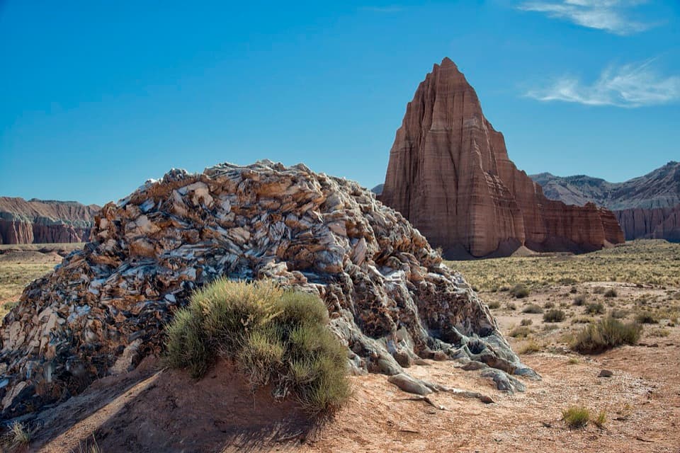
Lower South Desert Overlook is the big‑sky rim view you come to Cathedral Valley for—endless desert floor, layered cliffs, and the sculptural monolith of Jailhouse Rock below. It’s remote and quiet, the kind of stop where the silence and scale do most of the talking.
What You’ll See
- A sweeping, unobstructed look into the South Desert, with multicolored sandstone and mudstone badlands stretching for miles.
- Jailhouse Rock stands out as the star of the view, with other scattered monoliths punctuating the plain.
- At sunrise, shifting light and color make this a standout photo stop.
Getting There & Road Conditions
This overlook sits along the Cathedral Valley Loop. Expect backcountry conditions: unpaved roads, long distances, and minimal signage. Many visitors approach via Hartnet Road, which often requires fording the Fremont River; that crossing can be impassable during high runoff. There’s also an alternate approach via Caineville Wash Road that avoids the ford but adds hours to the drive. From a short spur, it’s a brief walk on a faint path to the rim.
On‑Site Experience
There’s a small pullout/parking area and a short, easy walk (minutes, not miles) to the edge where the land drops away into the South Desert. No facilities, no water, and little to no shade—come prepared and self‑sufficient.
Best Time to Visit
- Light: Sunrise brings the most flattering color and contrast on the monoliths and bentonite hills; midday can be harsh and hot.
- Crowds: This is one of the park’s quietest corners—expect few people any day of the week.
- Conditions: Avoid visiting right after major storms or snowmelt when roads and the river ford can be problematic.
Make It a Bigger Day
If you want more than a viewpoint, this area is a launching point for a longer hike past Jailhouse Rock toward Temple Rock—an airy, photo‑rich wander across classic Cathedral Valley terrain.
Geology Snapshot
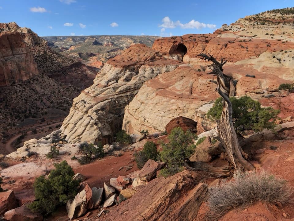
You’re looking across the edge of the Waterpocket Fold into a landscape carved from Entrada and Curtis sandstones—isolated monoliths rising from colorful bentonite and sand. It’s a textbook display of Capitol Reef’s uplift and erosion at work.
Wildlife
No specific wildlife sightings are commonly reported from this overlook. Consider it a bonus if you spot anything—this stop is about the landforms and the light.
Where it is
38.4024, -111.2084Tips for Lower South Desert Overlook
- 01Check current Fremont River ford conditions before committing to Hartnet Road.
- 02If the ford is high, use Caineville Wash Road instead—expect a longer day.
- 03Download offline maps and bring a paper map; signage is sparse.
- 04Aim for sunrise for the best photography and cooler temps.
- 05Pack ample water and sun protection—there’s no shade or services here.
Amenities
Near Lower South Desert Overlook
All places →All trails →
3.1 mi awayTemple of the MoonRemote sandstone monolith made for golden-hour photographyPullout · Scenic Viewpoint
3.5 mi awayTemple of the SunRemote sandstone monolith with knockout sunrise and sunset lightScenic Viewpoint
3.7 mi awayGlass MountainGlittering selenite mound beside the Temples in remote Cathedral ValleyPullout · Parking
5.2 mi awayBentonite HillsOtherworldly, banded clay hills along a remote Cathedral Valley roadScenic Viewpoint
7.9 mi awaySulphur Creek RoutePlayful creek walk with waterfalls, narrows, and easy shuttle logisticsModerate · 5.8 mi · 4 hr
7.9 mi awayUpper Spring Canyon TrailRemote Wingate canyon epic with solitude, slots, and route findingChallenging · 18.7 mi · 10 hr
7.9 mi awayChimney Rock Loop TrailShort loop, big Waterpocket Fold views, best at golden hour.Moderate · 3.6 mi · 2 hr
7.9 mi awayNavajo Knobs TrailA big-view grind to unbeatable 360-degree panoramas.Challenging · 9.4 mi · 7 hr