Hickman Bridge in Capitol Reef National Park

#1 of 45 sights in Capitol Reef

Sight · Capitol Reef National Park

Hickman Bridge

A 133-foot bridge rewards a rocky climb past Fremont remains.

Photo: Wikimedia Commons
Type
Sight
Nearest trail
0.4 mi
Audio stories
11 nearby
  • Trailhead
  • Parking

Hear the audio tour

Hickman Bridge

Overview

About Hickman Bridge

Why stop

  • Walk beneath a 133-foot natural bridge
  • Fremont-era features along the route

Heads up

  • A steady 400-foot climb over uneven, sandy footing
  • Trailhead parking can fill early

Map

Where it is

Loading the Capitol Reef map
Full map
SightHickman Bridge38.29107, -111.23413
Keep this map with you offline in the Parkwolf app

Plan your stop

Before you go

2 active Capitol Reef alerts

  • CautionE. coli advisory for Fremont River and Sulphur CreekMentions Fremont River, referenced in this guideDo not swim in the Fremont River or Sulphur Creek or get water in your mouth: NPS reports elevated E. coli in both waterways, and Utah DEQ has issued a warning advisory. - DEQ reports Sulphur Creek E.Official details
  • CautionFlash-flood hazard in canyons and washesHeavy rains can cause sudden flooding in Capitol Reef’s canyons and washes; do not hike or drive through floodwater.Official details
Capitol Reef alerts
A park ranger sits on a dash-mounted phone, talking, as Parkwolf’s Tour Guide plays “Army Cutworm Moths: A Grizzly Bear Buffet” on Grand Loop Road below Dunraven Pass in Yellowstone
Parkwolf Tour GuideThe highest, rockiest slopes around here are a summer buffet for grizzly bears.

Capitol Reef Tour Guide

Your drive to Hickman Bridge, narrated.

Parkwolf is a GPS audio tour guide for Capitol Reef National Park. As you drive, it chimes in with what’s ahead: hidden gems, upcoming stops, history, geology, and wildlife, right through your car’s speakers.

See the Capitol Reef audio tour

Recorded for this place

Hickman Bridge
0:00 / 0:23
“You're approaching the Hickman Bridge trailhead, where a rocky hike leads to a 133-foot sandstone span.”

Plays as you drive up to Hickman Bridge in the Parkwolf Capitol Reef Tour Guide.

More stories near here in the app

  • Fremont Petroglyphs
  • Navajo Dome Viewpoint
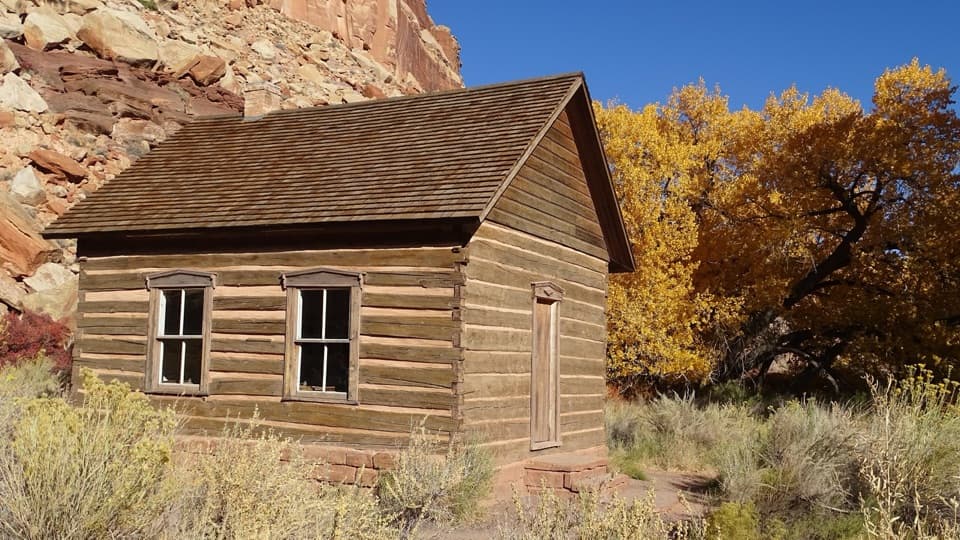
  • Fruita Schoolhouse
  • Fruita Blacksmith Shop
  • 116 audio storiesacross Capitol Reef’s roads, triggered by GPS as you drive
  • Wildlife heatmapsfor Bighorn Sheep, Mule Deer, Marmot, and 13 more
  • Works offlinemaps, 48 trails, 52 places, and audio download before you lose signal
  • CarPlay readysimple controls built for the drive
★★★★★
“Fantastic app with many points of information… It’s great to just turn on while you’re driving and it gives you an audio tour of the national Park. We love it!!!!”
JMJamesApp Store review
Download Parkwolf on the App StoreGet Parkwolf on Google Play

4.7 from 8,600+ ratings

Guide

More about Hickman Bridge

Why it earns the climbHickman Bridge is a 133-foot natural bridge tucked into a sandstone canyon above the Fremont…

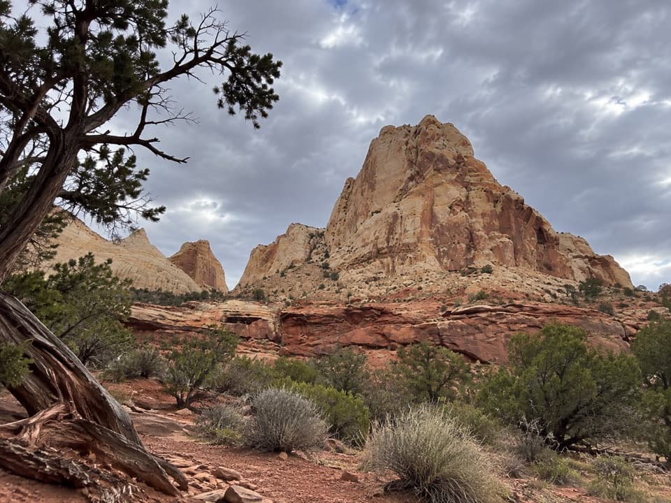
Hickman Bridge is a 133-foot natural bridge tucked into a sandstone canyon above the Fremont River. At the end of the hike, the path passes beneath the span and continues around the rock. This is one of Capitol Reef’s signature short hikes, but plan on roughly two miles round trip and 400 feet of climbing; the mileage hides a steady uphill walk.

Take your time on the approachFrom the Highway 24 trailhead, the path follows the Fremont River before turning into a wash…

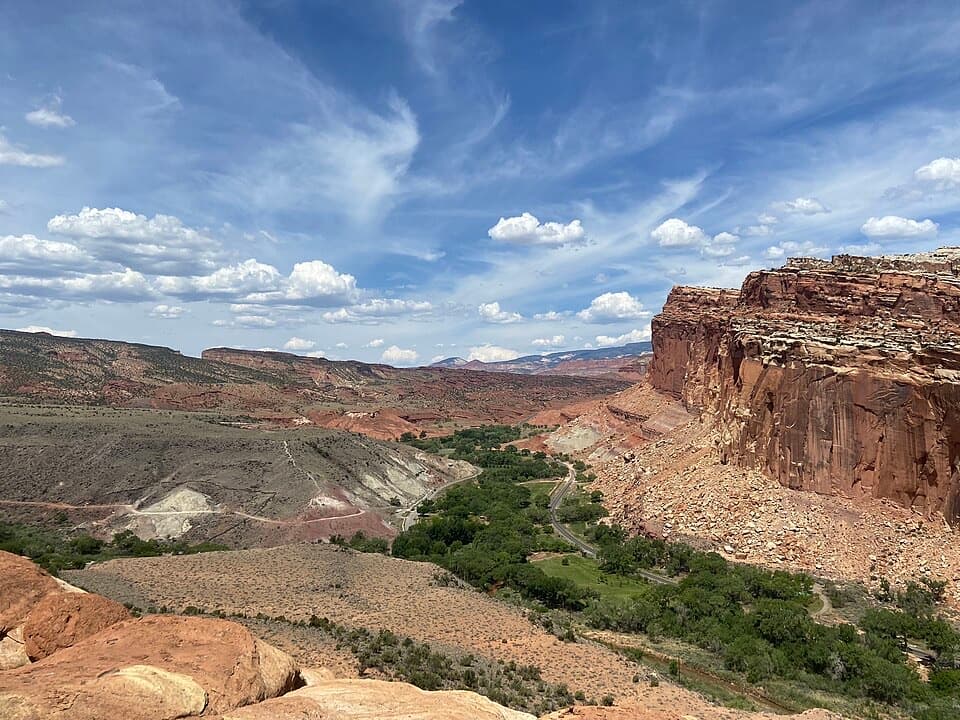
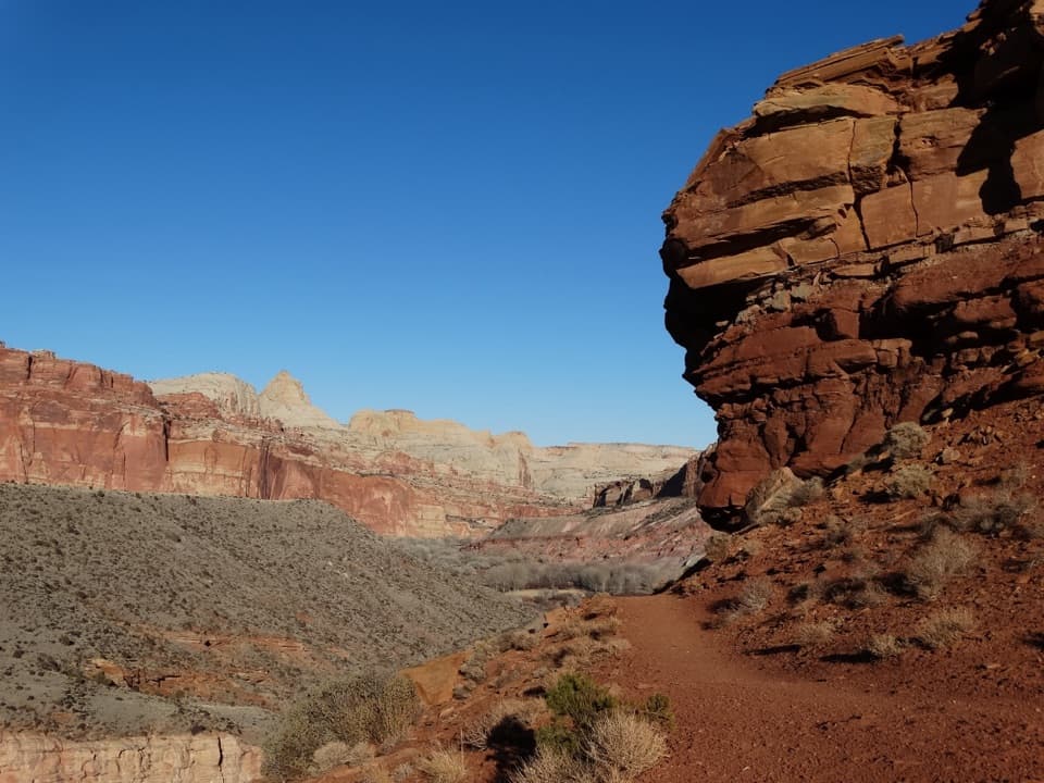
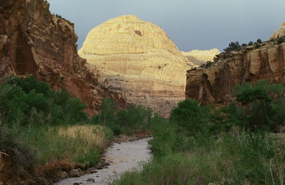
From the Highway 24 trailhead, the path follows the Fremont River before turning into a wash and climbing over sandy slickrock and natural steps. Views of Capitol Dome and the surrounding cliffs appear along the way. At the junction shared with Rim Overlook and Navajo Knobs, follow the Hickman Bridge branch. The final approach beneath and behind the bridge is worth slowing down for.

Look for the Fremont tracesA Fremont pithouse foundation and a granary tucked into the rock sit beside the route, along…

A Fremont pithouse foundation and a granary tucked into the rock sit beside the route, along with the smaller Nels Johnson Natural Bridge. Fremont people lived in this area from about 300 to 1300 CE; the granary stored crops such as corn, beans and squash, along with gathered food like piñon nuts. Stay on the trail and leave the archaeological remains undisturbed.

How the opening formedHickman Bridge formed as water eroded softer red shale behind a more resistant sandstone fin,…

Hickman Bridge formed as water eroded softer red shale behind a more resistant sandstone fin, eventually cutting through it. Later erosion widened the opening. The span is about 133 feet long and 125 feet high, large enough to frame the pale cliffs and desert plants around it.

A window onto the Waterpocket FoldThe trail gives you a close look at the tilted rock layers of the Waterpocket Fold, a huge bend…

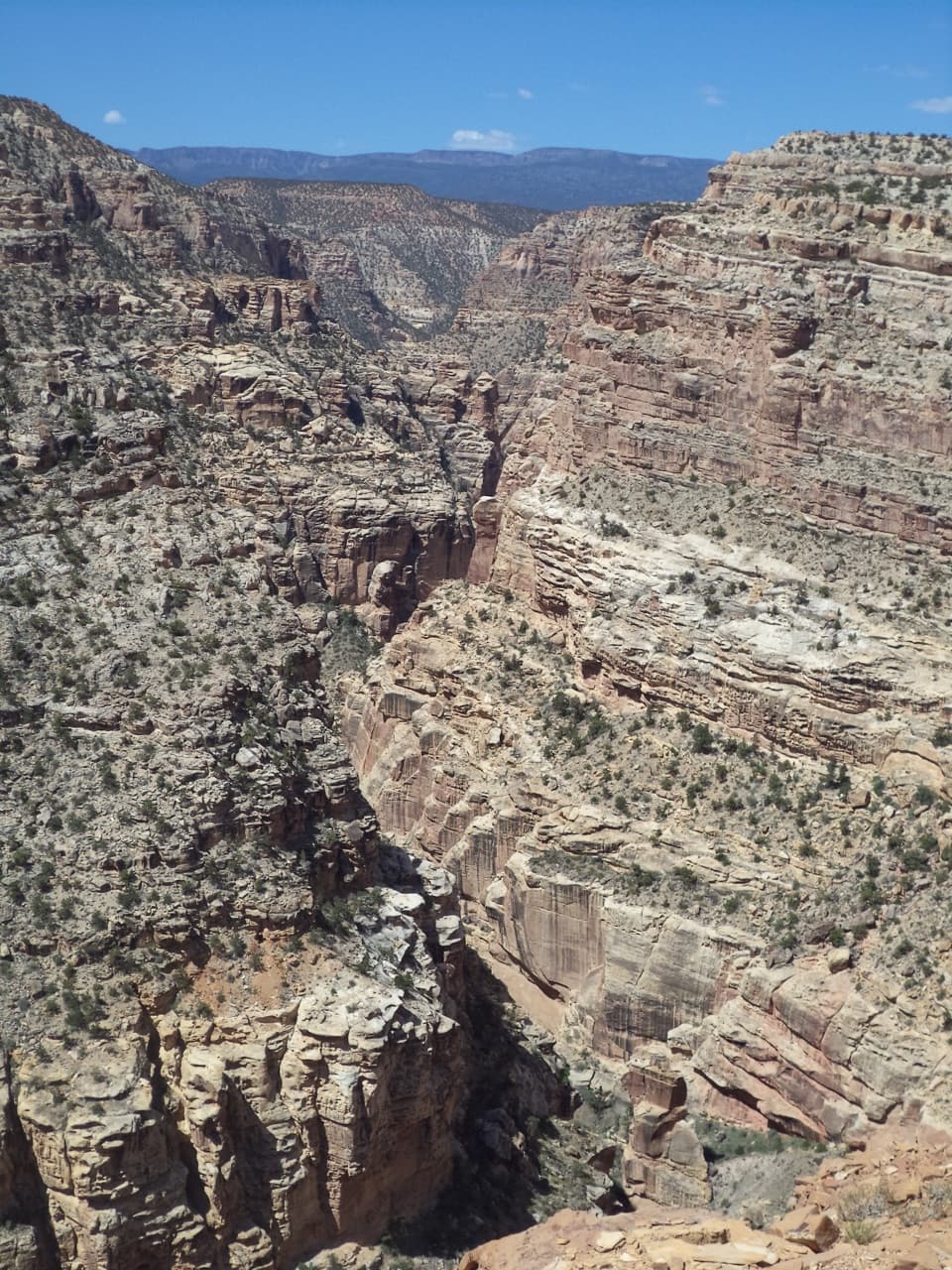
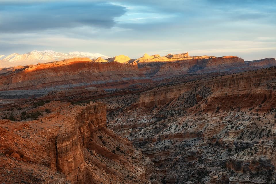
The trail gives you a close look at the tilted rock layers of the Waterpocket Fold, a huge bend in the earth’s crust whose uplift began about 65 million years ago. Around the route, pale Navajo Sandstone began as a field of dunes about 180 million years ago. Look for diagonal cross-bedding in the rock and small solution cavities across the canyon.

Set out preparedThe trailhead is about two miles east of the visitor center on Highway 24.

The trailhead is about two miles east of the visitor center on Highway 24. Expect a moderate hike with a 400-foot climb, high steps, sand on slickrock and other uneven footing. Carry water; it is not available at park trailheads. The lot can fill early, and many trailhead lots in the park are full by mid-morning. Spring and fall are generally milder; summer brings intense heat and little shade. Storms can send flash floods through washes and narrow canyons, so avoid them during heavy rain. Dogs are not allowed on park trails.

Wildlife

Wildlife in Capitol Reef

All Capitol Reef wildlife maps

Sighting maps show where each species has been reported across Capitol Reef. Wildlife moves, so no sighting is guaranteed.

Keep exploring

Near Hickman Bridge

See it all on the map

Trails nearby

More stops nearby

Parkwolf’s Capitol Reef ranking

Top sights in Capitol Reef

All 52 places
  1. 2Gifford HomesteadSight
  2. 3Fremont PetroglyphsSight
  3. 4Cassidy ArchSight
  4. 5Temples of the Sun and MoonSight
  5. 6Fruita OrchardsSight
  6. 7Sunset PointSight

Take Parkwolf to Capitol Reef.

The audio tour guide for the drive, plus offline maps, trails, and wildlife heatmaps for when the signal drops.

4.7 from 8,600+ ratings

Download Parkwolf on the App StoreGet Parkwolf on Google Play