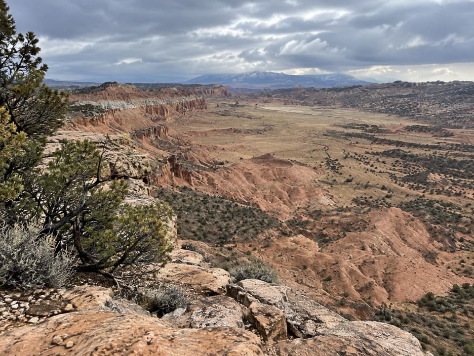
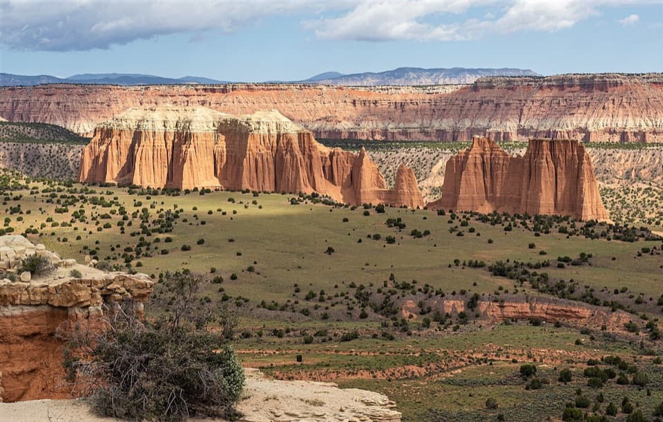
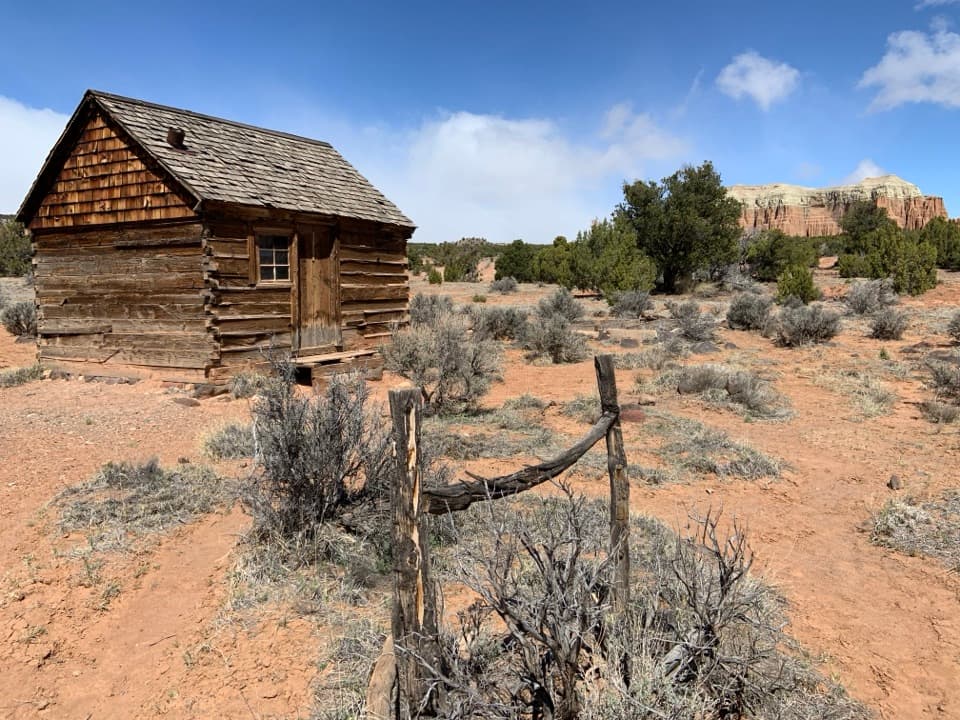
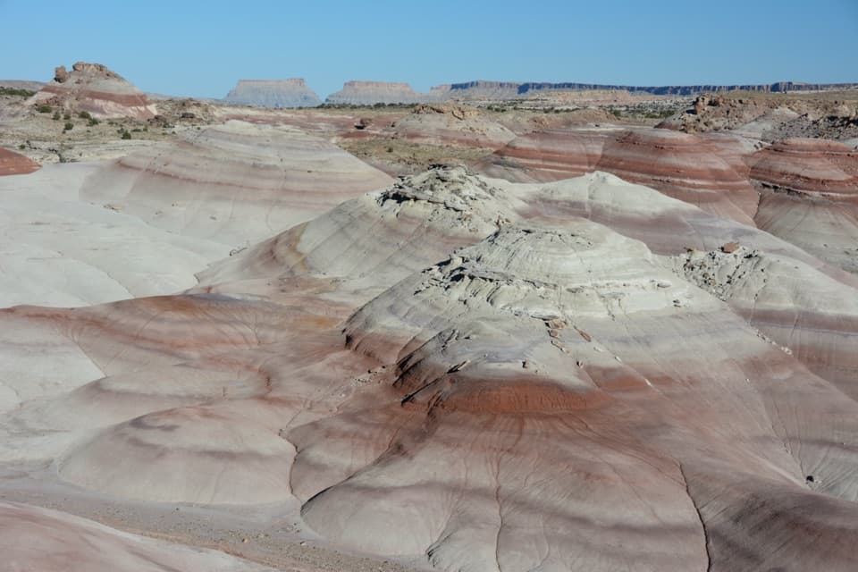
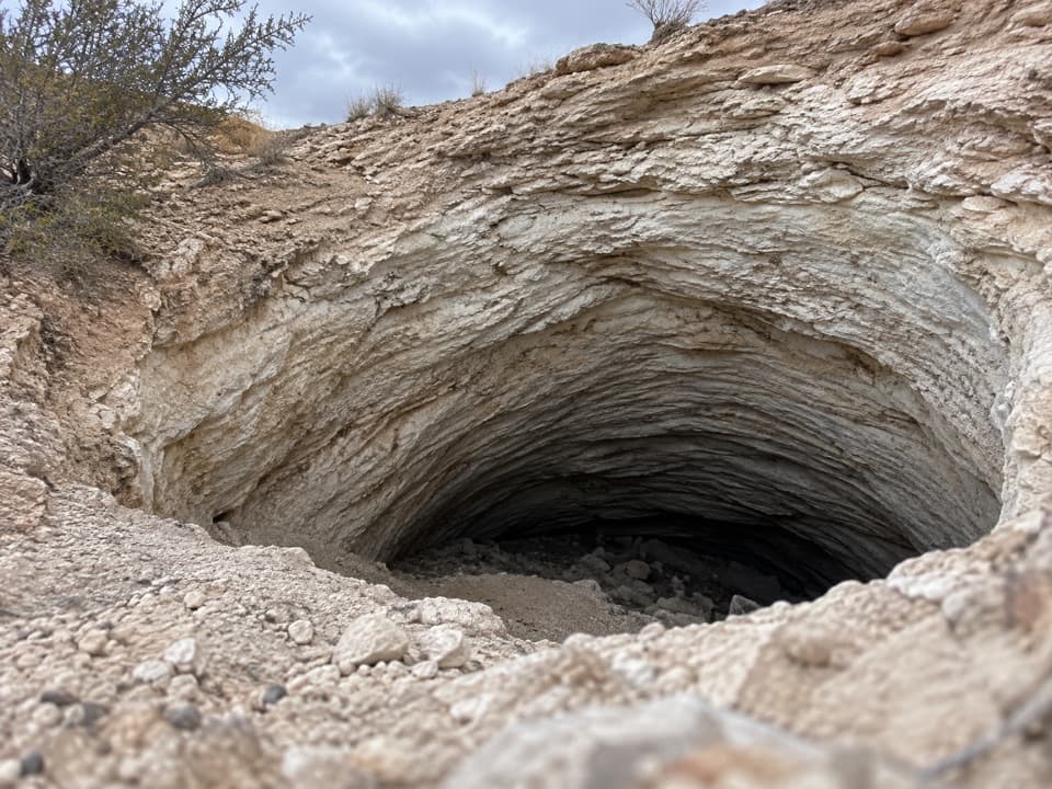
A wooden sign with a ridge diagram marks the start. A faint path heads north across a brushy flat, then climbs a short, steep pitch to the rim of the western saddle. The mapped route follows that path to the view and returns the same way. That short western-saddle return is the most straightforward version to navigate.
There is a longer, roughly 2.5-mile option to a second saddle east of the first. To reach it, hikers return to the base of the cliffs, follow a sandy wash east, then cross open ground back to the start. The two saddles are about 0.9 mile apart, and there is no reliable trail connecting them. Treat that as a separate cross-country choice, not a marked loop.