Overview
About Fremont Petroglyphs
Why stop
- A second boardwalk adds fainter carvings beyond the main panel.
Heads up
- The carvings can be hard to see without binoculars or zoom.
Map
Where it is
Loading the Capitol Reef map
Full mapPlan your stop
Before you go
2 active Capitol Reef alerts
- CautionE. coli advisory for Fremont River and Sulphur CreekMentions Fremont River, referenced in this guideDo not swim in the Fremont River or Sulphur Creek or get water in your mouth: NPS reports elevated E. coli in both waterways, and Utah DEQ has issued a warning advisory. - DEQ reports Sulphur Creek E.Official details
- CautionFlash-flood hazard in canyons and washesHeavy rains can cause sudden flooding in Capitol Reef’s canyons and washes; do not hike or drive through floodwater.Official details

The highest, rockiest slopes around here are a summer buffet for grizzly bears.
Capitol Reef Tour Guide
Your drive to Fremont Petroglyphs, narrated.
Parkwolf is a GPS audio tour guide for Capitol Reef National Park. As you drive, it chimes in with what’s ahead: hidden gems, upcoming stops, history, geology, and wildlife, right through your car’s speakers.
See the Capitol Reef audio tourRecorded for this place
Fremont Petroglyphs0:00 / 0:31
“The Fremont Petroglyphs are coming up beside Highway 24. This is a stop I'd keep even on a short visit: allow about twenty minutes for the two boardwalks.”
Plays as you drive up to Fremont Petroglyphs in the Parkwolf Capitol Reef Tour Guide.
More stories near here in the app
- Fruita Schoolhouse
- Fruita Blacksmith Shop
- Gifford Homestead and Fruita Orchards
- Cohab Canyon
- 116 audio storiesacross Capitol Reef’s roads, triggered by GPS as you drive
- Wildlife heatmapsfor Bighorn Sheep, Mule Deer, Marmot, and 13 more
- Works offlinemaps, 48 trails, 52 places, and audio download before you lose signal
- CarPlay readysimple controls built for the drive
“Fantastic app with many points of information… It’s great to just turn on while you’re driving and it gives you an audio tour of the national Park. We love it!!!!”


Guide
More about Fremont Petroglyphs
A quick stop for rock artTwo boardwalks run along red sandstone cliffs beside Highway 24 to Fremont-era petroglyphs.
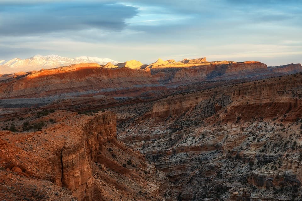
Two boardwalks run along red sandstone cliffs beside Highway 24 to Fremont-era petroglyphs. The main panel has tall human-shaped figures and animal designs; a second boardwalk reaches fainter carvings farther along the cliff. It’s an excellent cultural stop if you like looking closely, and it takes little effort. The figures stay at viewing distance, so this isn’t a close-up display.
Walk both boardwalksThe combined visit is about 0.3 mile round trip, with roughly 80 feet of elevation gain.
The combined visit is about 0.3 mile round trip, with roughly 80 feet of elevation gain. Start with the main panel, then continue along the cliff base to the fainter eastern carvings. They’re easy to miss if you turn back after the first cluster. Both boardwalks are wheelchair-accessible, and parking is beside the highway.
Give the wall a closer lookThe carvings can be faint from the boardwalk.
The carvings can be faint from the boardwalk. Binoculars or a camera with zoom help bring out the smaller shapes. For a photo, zoom in on the figures, then take a wider view that includes the cliff and fallen boulders; that gives the markings some scale. Stay on the boardwalks and don’t touch the rock art.
What the figures showLook for tall human-like forms, some with trapezoid-shaped bodies and details such as fingers,…
Look for tall human-like forms, some with trapezoid-shaped bodies and details such as fingers, headgear or ear ornaments, alongside geometric bighorn sheep and other animals. The images are not a readable text: possible meanings have been suggested, but no one can say with certainty what a particular figure meant to its maker.
Fremont life in the canyonArchaeologists use “Fremont” for communities in this region from roughly 300 to 1300 CE; the…
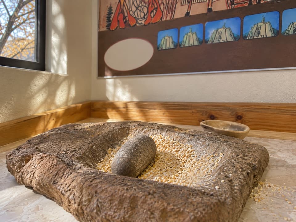
Archaeologists use “Fremont” for communities in this region from roughly 300 to 1300 CE; the name comes from the Fremont River. Some groups farmed corn, beans and squash near waterways, alongside hunting and gathering. Those details describe the broader culture, not a key that translates every carving at this site.
The story continuesThis landscape holds living Indigenous histories as well as archaeology.
This landscape holds living Indigenous histories as well as archaeology. Southern Paiute speaker Rick Pickyavit, in the park’s interpretation, describes his ancestors hunting in canyons south of here as white settlers arrived in the 1880s. Oral traditions connect Fremont-associated communities with Hopi, Zuni and Paiute people; the region also has historic Ute connections and Navajo oral traditions tied to the area. Those histories belong alongside the uncertainty about the makers and meanings of these particular images.
Wildlife
Wildlife in Capitol Reef
 50 sightingsBighorn SheepMost seen around 6 PMSighting map
 322 sightingsMule DeerMost seen around 6 PMSighting map
 70 sightingsMarmotMost seen around 7 AMSighting map
 13 sightingsCottontail RabbitMost seen around 7 PMSighting map
 33 sightingsTurkeyMost seen around 6 AMSighting map
 14 sightingsRavenMost seen around 9 AMSighting map
Sighting maps show where each species has been reported across Capitol Reef. Wildlife moves, so no sighting is guaranteed.