Pros & cons
PROS
- Broad, high-elevation views over the Waterpocket Fold
- Quiet and seldom-visited compared to the main park sights
CONS
- No facilities or services on-site
- Access via unpaved backcountry roads and exposed terrain
Overview
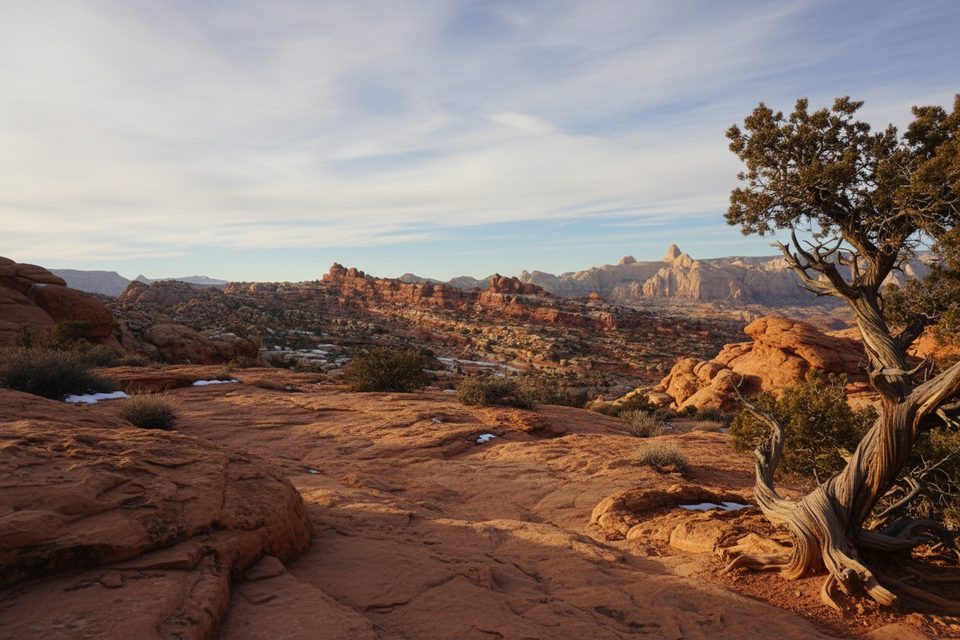
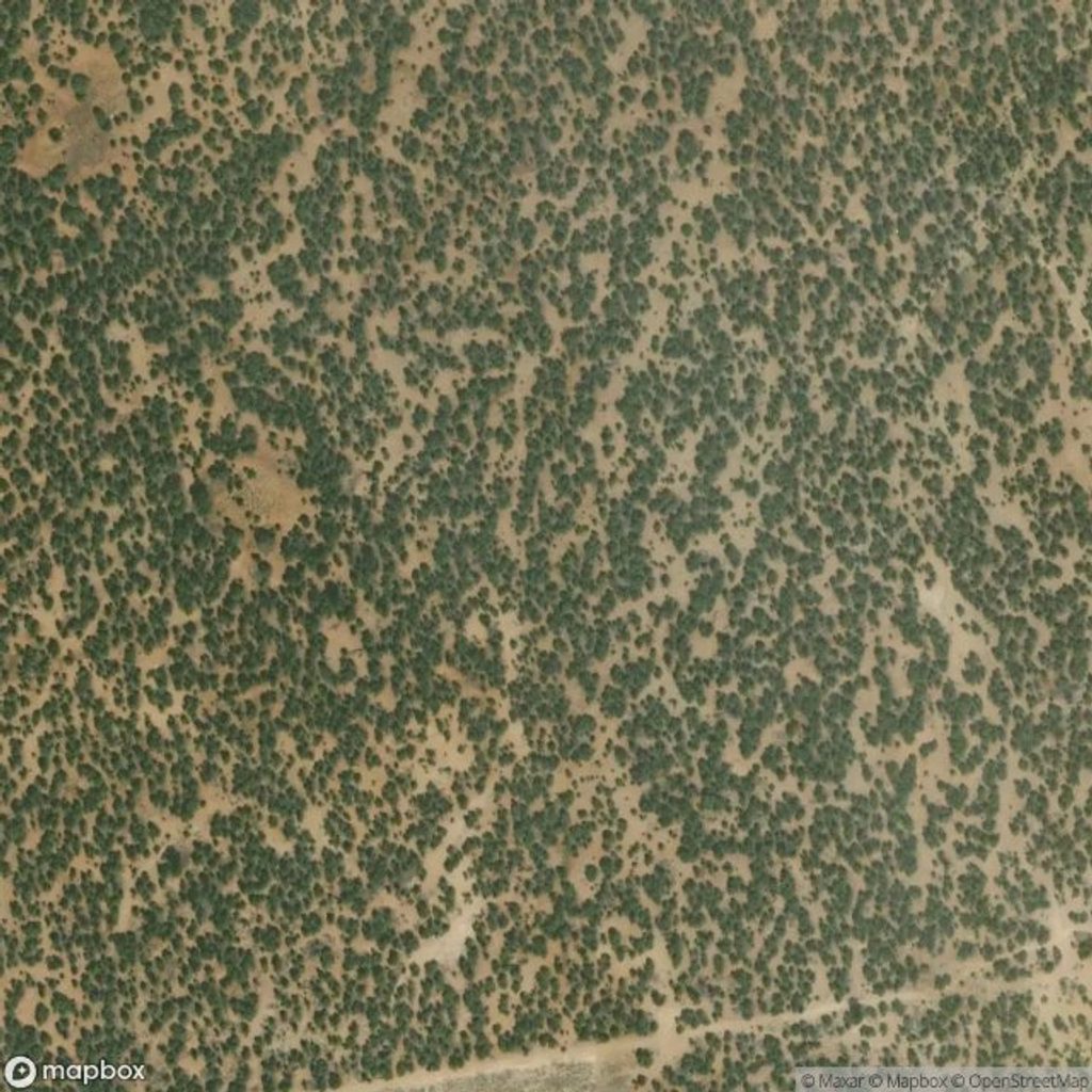
Miners Mountain is a high, windswept upland inside the park that trades canyon-floor crowds for a big-picture vantage over the fold and surrounding plateaus. It’s not a developed stop—think wild viewpoint more than signed overlook—so come prepared and you’ll likely have it to yourself.
What You’ll See
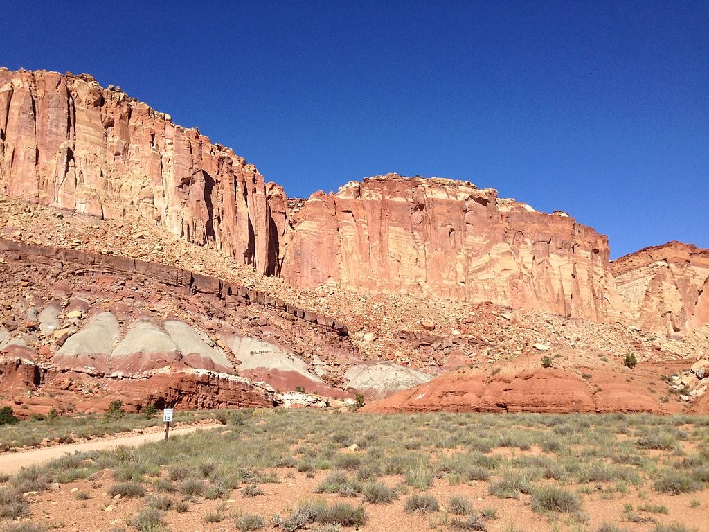
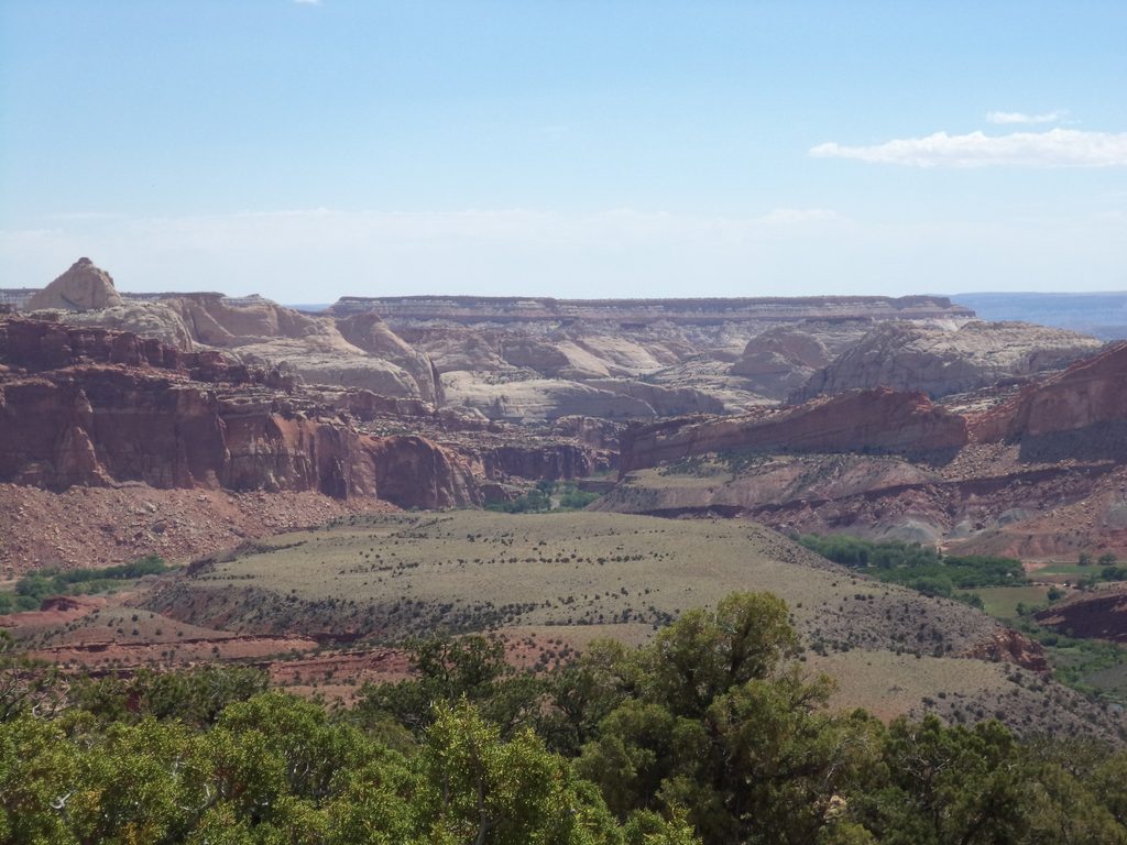
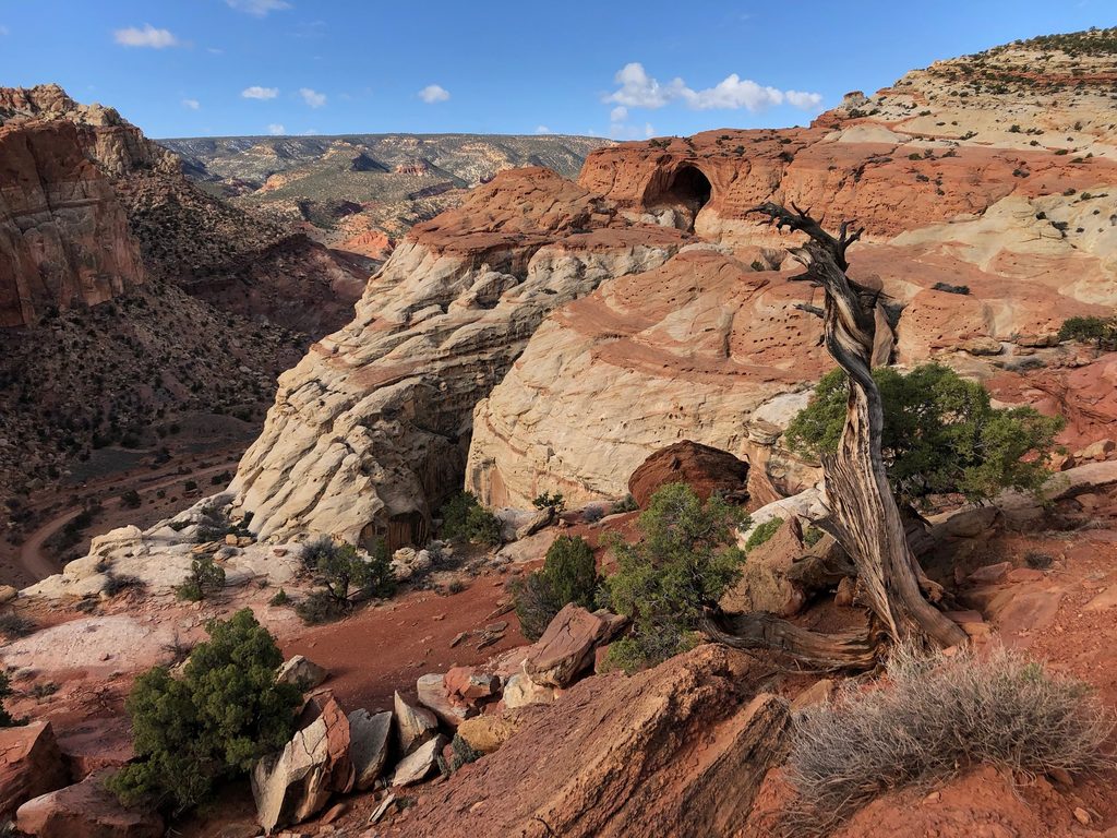
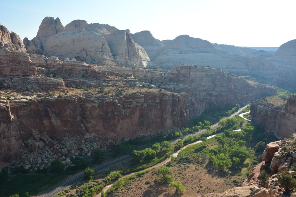
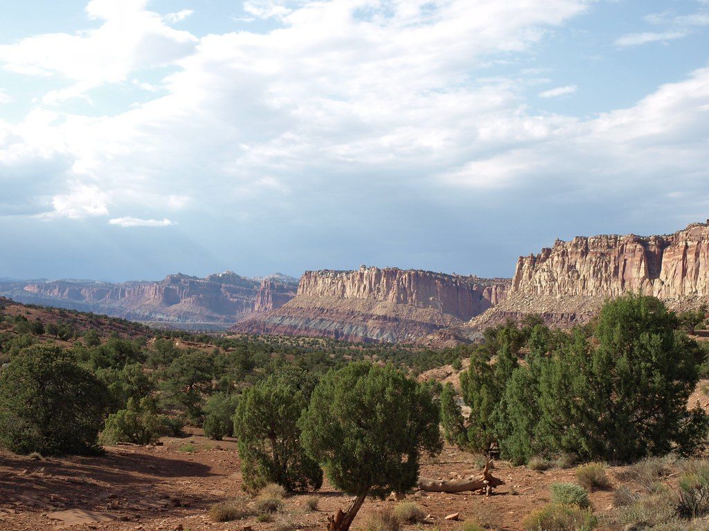
From roughly 2,400 meters, you get wide-open panoramas across the Waterpocket Fold and toward the surrounding high plateaus. It’s classic Capitol Reef scenery from a less-common angle: stacked sedimentary layers, long ridgelines, and the park’s canyon country splayed out below.
History & Geology
The name isn’t an accident—this landscape carries a mining legacy that pre-dates the park era, including uranium exploration in the mid-20th century. The broader Capitol Reef area is a geologic textbook, with deformed sedimentary layers creating the “reef” that defines the views from high points like this.
Access & What to Expect
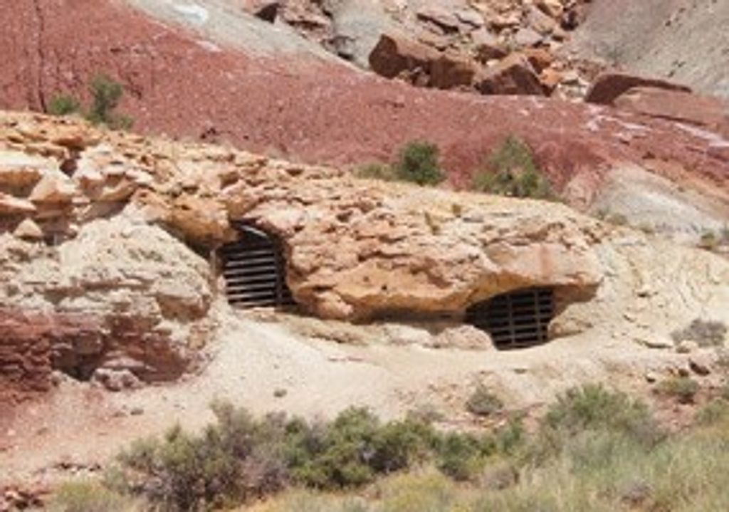
Access is via unpaved backcountry roads that historically served area prospects. There’s no formal infrastructure here: no marked parking, no water, no restrooms, and no shade. Expect exposure to sun and wind and plan for self-sufficiency. Avoid old mine openings or disturbed ground if you encounter any.
Wildlife
There aren’t site-specific wildlife notes for this spot. Treat it like other high, dry uplands in the park—occasional birds, reptiles, and desert mammals are possible, but nothing is guaranteed.
Best Time to Visit
- Light: Early morning or late afternoon for softer light and depth in the folds.
- Crowds: Weekdays see very few visitors; even weekends are typically quiet.
- Season: Shoulder seasons bring milder temperatures; summer sun and wind at elevation can be punishing.
Practical Tips
- Bring plenty of water, sun protection, and layers—the summit can be windy and cooler than canyon floors.
- Use offline maps or a paper topo; cell coverage is unreliable in the backcountry.
- High-clearance and a full-size spare are smart for unpaved roads; check conditions before you go.
- Do not enter any historic mine openings; they are unstable and hazardous.
Where it is
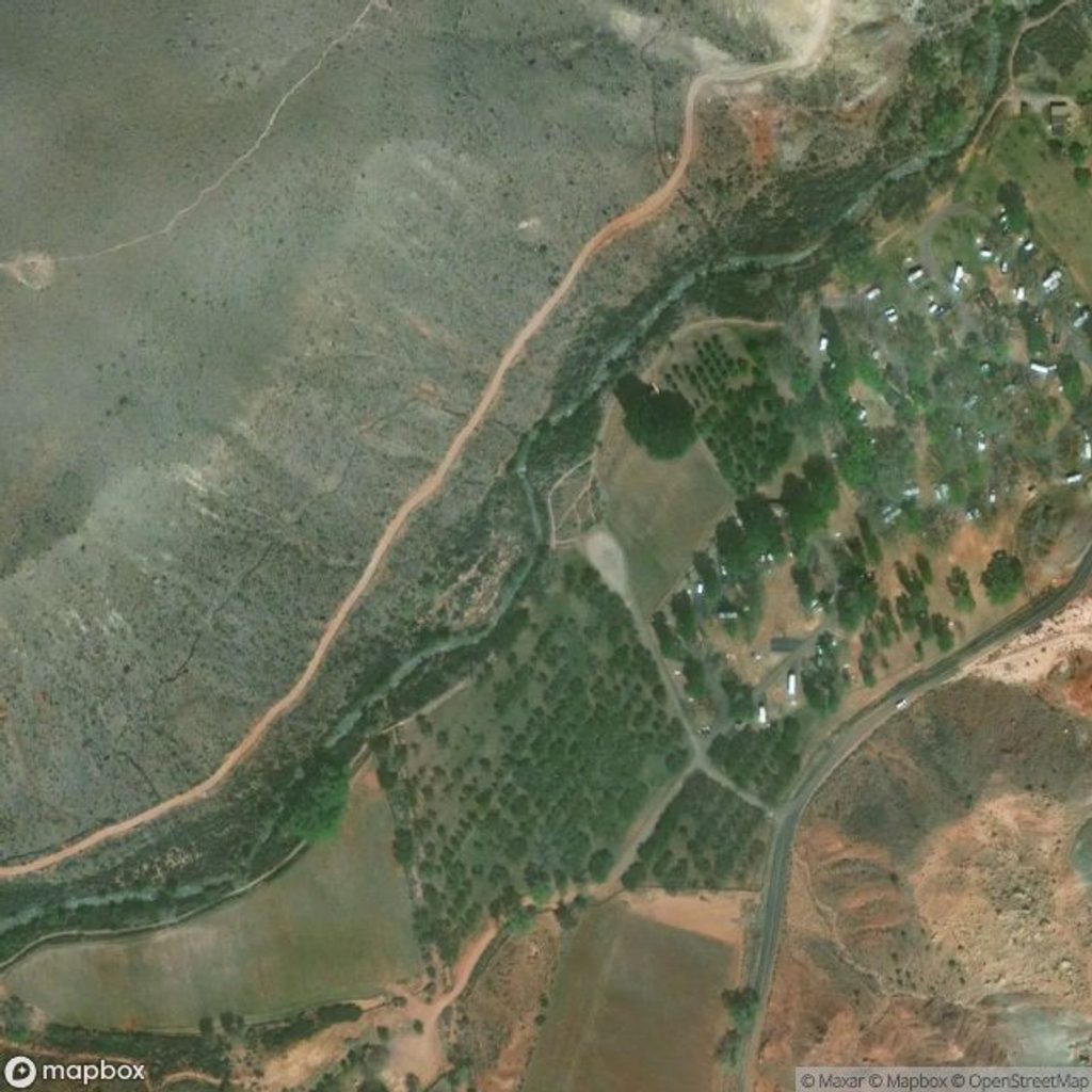
38.2128, -111.2829Tips for Miners Mountain
- 01Carry extra water and sun protection; there is no shade or water on-site.
- 02Download offline maps and bring a paper backup for backcountry navigation.
- 03Check backcountry road conditions; high-clearance is often advisable.
- 04Avoid any mine adits or disturbed ground you come across.
Near Miners Mountain
All places →All trails →
3.5 mi awaySlickrock DivideQuick pullout with a rare hydrologic divide and ripple rockPullout · Parking
4.2 mi awayOyler MineGated uranium mine ruins by Grand Wash with bat habitat
4.5 mi awayGrand WashEasy canyon walk with dramatic narrows and soaring wallsTrailhead · Restroom
4.8 mi awayFremont Gorge OverlookWindy, wide-open view into the Fremont Gorge after a stout climbScenic Viewpoint
5.1 mi awayFremont River TrailRiverside stroll to a steep climb with big Fruita viewsModerate · 2.1 mi · 1.5 hr
5.2 mi awayFrying Pan TrailCairned slickrock traverse linking Fruita to Cassidy Arch viewsModerate · 4.4 mi · 2.5 hr
5.3 mi awayCassidy Arch TrailShort, steep climb to a photogenic arch you can stand onModerate · 3.4 mi · 2.5 hr
5.6 mi awayCohab Canyon TrailQuiet canyon walk with slot spurs and big Fruita overlook viewsModerate · 3.4 mi · 2 hr