Parking
Use the combined Grand Wash–Cassidy Arch Trailhead at the end of Grand Wash Road off Scenic Drive. The lot’s capacity is not published.

#2 of 48 trails in Capitol Reef
Capitol Reef National Park, UT
A steep climb to a walkable arch above Grand Wash.
Overview
Cassidy Arch Trail is a 3.4-mile out-and-back from the Grand Wash–Cassidy Arch Trailhead to a broad sandstone arch above the canyon. The route is about 1.7 miles each way: it follows Grand Wash first, then climbs the slickrock slope to the arch and returns by the same path. Allow three to four hours. The park rates it strenuous and lists 670 feet of elevation change. Choose it for the high canyon view and the chance to stand on the arch itself. If you want a less demanding canyon walk without the climb, Grand Wash is separately listed as an easy hike.
 Parkwolf’s verdictIs this the hike for you?
Map & elevation
Plan your hike

The highest, rockiest slopes around here are a summer buffet for grizzly bears.
Capitol Reef Tour Guide
Parkwolf is a GPS audio tour guide for Capitol Reef National Park. As you drive, it chimes in with what’s ahead: hidden gems, upcoming stops, history, geology, and wildlife, right through your car’s speakers.
See the Capitol Reef audio tourRecorded for this trailhead
Cassidy Arch“You're nearing the trailhead for Cassidy Arch, a broad sandstone span you can stand on high above Grand Wash.”
Plays as you drive up to this trailhead in the Parkwolf Capitol Reef Tour Guide.
More stories near here in the app
“Fantastic app with many points of information… It’s great to just turn on while you’re driving and it gives you an audio tour of the national Park. We love it!!!!”


Trail guide
From the parking area at the end of Grand Wash Road, follow the signed Grand Wash Trail downstream. For the first 0.3 mile, you walk along the wash floor before the Cassidy Arch branch turns left. That approach is part of the 3.4-mile round trip; the mileage starts at the combined trailhead, not at the branch. At the junction, take the Cassidy Arch route. Continuing along the wash is a different hike.
The Cassidy Arch path climbs steeply out of the canyon. The hardest grade comes early; the trail eases before the final approach, but this is still more than a short stroll. At the last junction, turn left again and follow cairns across slickrock to the arch. The tread can fade on open rock, so look for the next cairn before moving on. Footing stays uneven near the destination, where the edge is exposed. The short distance can make the hike look easier than it feels if steep climbs or heights are a concern.
The route reaches the top of Cassidy Arch, a broad sweep of sandstone with open canyon below. Look into Grand Wash, southwest toward Boulder Mountain, and south toward the pointed rise called Fern’s Nipple; Shinob Canyon joins Grand Wash in the view below. It is worth lingering here rather than turning around as soon as you arrive. For a photo that shows the shape of the place, frame some of the arch’s curved rock with the canyon beyond it; a person on the stone gives a useful sense of scale. Stay well back from the edge while taking pictures.
This is a close look at the tilted layers of the Waterpocket Fold. The area’s rock layers began as sediments laid down in changing environments; pressure bent them into a long one-sided slope, and erosion cut the canyons and natural openings through the exposed rock. Grand Wash’s towering walls show the larger fold, while Cassidy Arch makes the work of weathering visible on a smaller scale. The red and pale bands are not just a backdrop: they are the park’s geological story exposed along the walk.
The trailhead is reached by Grand Wash Road off Scenic Drive, with parking at the combined Grand Wash–Cassidy Arch access. Its capacity is not published. There is no drinking water at the trailhead, so carry enough for the steep climb and exposed sun. Pets are not allowed on the park’s other hiking trails. Much of the route has little shade, and the first stretch follows a wash; avoid it when thunderstorms threaten because flash floods can enter from rain far beyond the trailhead.
Wildlife
 50 sightingsBighorn SheepMost seen around 6 PMSighting map
 322 sightingsMule DeerMost seen around 6 PMSighting map
 70 sightingsMarmotMost seen around 7 AMSighting map
 13 sightingsCottontail RabbitMost seen around 7 PMSighting map
 33 sightingsTurkeyMost seen around 6 AMSighting map
 14 sightingsRavenMost seen around 9 AMSighting map
Sighting maps show where each species has been reported across Capitol Reef. Wildlife moves, so no sighting is guaranteed.
Keep exploring
 EasyGrand Wash Trail4.4 mi · 3 hr · 1.6 mi awayA gentle wash walk that tightens into shadowed sandstone narrows.
 ChallengingFrying Pan Trail4.4 mi · 4 hr · 1.8 mi awayA tough mesa crossing with its best views behind you.
 ChallengingNavajo Knobs Trail9.4 mi · 7 hr · 1.8 mi awayA strenuous rim hike to a tiny summit and a huge panorama.
 ChallengingRim Overlook Trail4.6 mi · 3.5 hr · 1.8 mi awayFruita and the Waterpocket Fold spread below this steep rim climb.
 ModerateHickman Bridge Trail1.8 mi · 1.5 hr · 1.8 mi awayA moderate climb to a 133-foot bridge and a loop beneath it.
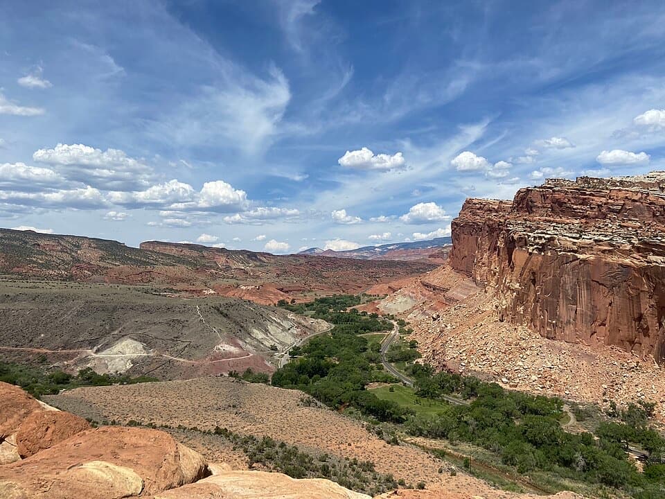 ModerateCohab Canyon Trail1.7 mi · 1.5 hr · 2.1 mi awayA steep Fruita climb opens into a sculpted sandstone canyon.
 EasyFremont Petroglyph Boardwalks0.4 mi · 20 min · 2.2 mi awayTwo wooden boardwalks reveal Fremont rock art.
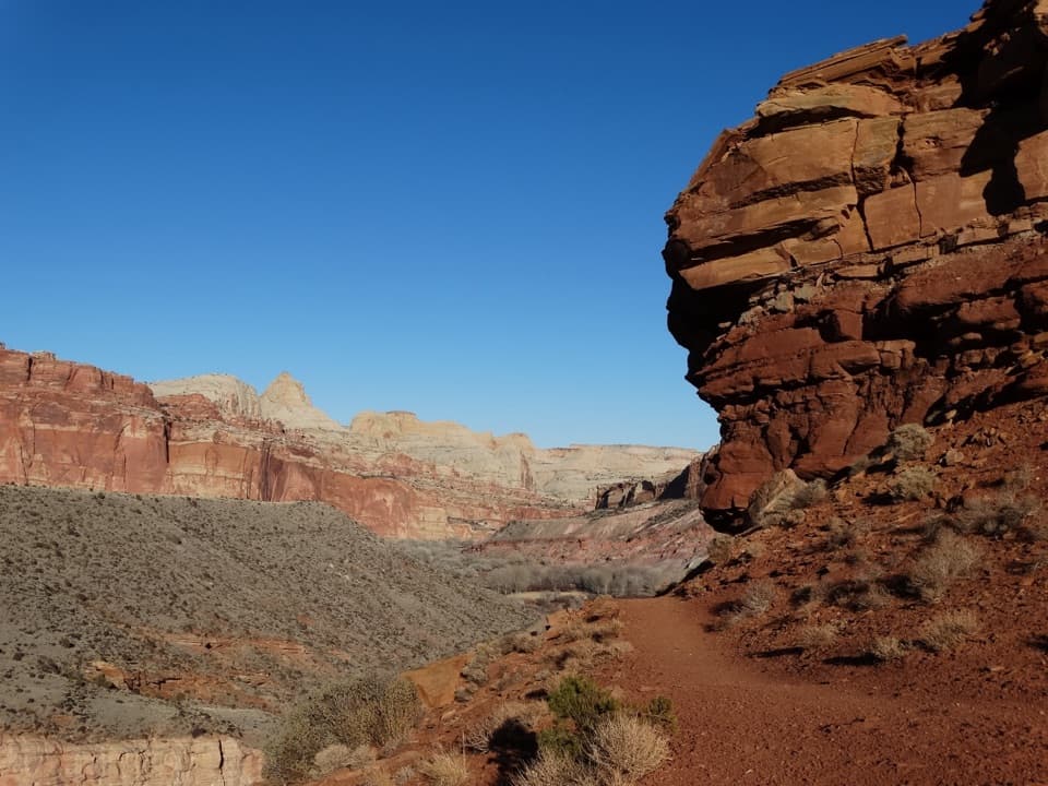 ModerateFremont River Trail2 mi · 1.5 hr · 2.2 mi awayRiver walk, a steep climb, and broad views over Fruita.Sight · 0.6 mi awayCassidy ArchWalk across a sandstone arch with Grand Wash far below.
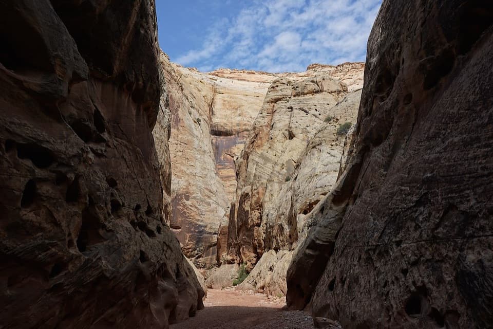 Sight · 0.9 mi awayGrand Wash NarrowsA tight sandstone passage worth the walk from Highway 24.
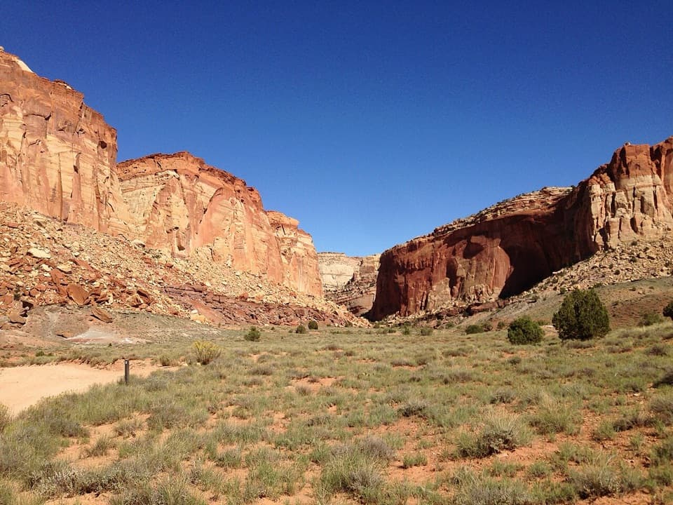 Sight · 0.9 mi awayOyler Mine ViewpointA quick roadside pause for Capitol Reef's uranium story.
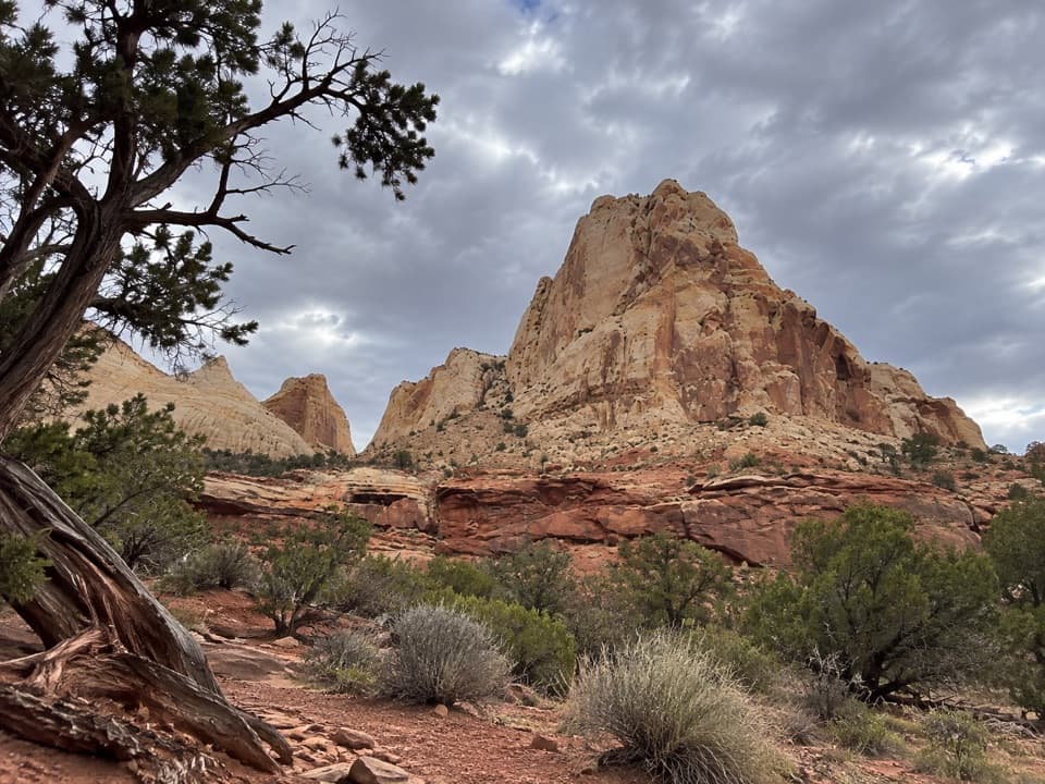 Sight · 1.7 mi awayNavajo Dome ViewpointA roadside look at Navajo Dome above the Waterpocket Fold.
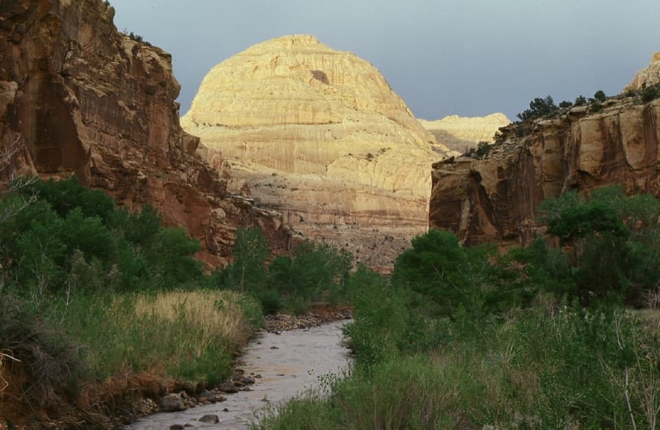 Sight · 1.8 mi awayCapitol DomeSee the sandstone formation that helped give Capitol Reef its name.Sight · 1.9 mi awaySouth Fruita OverlookThe layers of the Waterpocket Fold make sense from above Fruita.
 Sight · 2 mi awayNorth Fruita OverlookA steep climb pays off in a sweeping canyon view.Sight · 2.1 mi awayHickman BridgeA 133-foot bridge rewards a rocky climb past Fremont remains.
Parkwolf’s Capitol Reef ranking
The audio tour guide for the drive, plus offline maps, trails, and wildlife heatmaps for when the signal drops.
