Frying Pan Trail in Capitol Reef National Park

Capitol Reef National Park, UT

Frying Pan Trail

A tough mesa crossing with its best views behind you.

Photo: National Park Service
Length
4.4mi
Time
4hr
Elev. change
1,040ft
Difficulty
Challenging
  • No dogs
  • High point 6,401 ft
  • #16 of 48 in Capitol Reef

Hear the audio tour

Hickman Bridge

Overview

About Frying Pan Trail

Why go

  • Ridge views keep changing, from Navajo domes to Grand Wash and Ferns Nipple
  • A complete point-to-point hike links the mesa with a canyon finish

Heads up

  • Strenuous climbs and drops across an exposed mesa
  • One-way logistics require a shuttle
Frying Pan is a 4.43-mile one-way hike from Hickman Bridge Trailhead to the upper Grand Wash trailhead. The full walk starts with about half a mile of Cohab Canyon access, crosses the mesa on the Frying Pan connector, then drops toward Grand Wash and turns up-canyon to the finish. The National Park Service’s 2.9-mile figure is for the named ridge connector alone. Allow three to four hours or more for the complete route, and arrange a shuttle before you start; this is not a loop.
Parkwolf’s verdictIs this the hike for you?

Map & elevation

The route

Loading the Capitol Reef map
Full map
Elevation5,361–6,401 ft
TrailheadHickman Bridge Trailhead38.28860, -111.22750
Keep this map with you offline in the Parkwolf app

Plan your hike

Before you go

Parking

Start at Hickman Bridge Trailhead, the signed lot on the north side of UT 24 about two miles east of the visitor center. The route ends at the upper Grand Wash trailhead off Scenic Drive, so arrange a second vehicle or pickup before setting out.

Safety

Strenuous, exposed route with repeated climbs and drops and little shade. There is no water at the trailheads. Flash floods threaten the canyon sections; stay out during storms and never cross flowing water. Pets are prohibited on park hiking trails.

2 active Capitol Reef alerts

  • CautionE. coli advisory for Fremont River and Sulphur CreekMentions Fremont River, referenced in this guideDo not swim in the Fremont River or Sulphur Creek or get water in your mouth: NPS reports elevated E. coli in both waterways, and Utah DEQ has issued a warning advisory. - DEQ reports Sulphur Creek E.Official details
  • CautionFlash-flood hazard in canyons and washesHeavy rains can cause sudden flooding in Capitol Reef’s canyons and washes; do not hike or drive through floodwater.Official details
Capitol Reef alerts
A park ranger sits on a dash-mounted phone, talking, as Parkwolf’s Tour Guide plays “Army Cutworm Moths: A Grizzly Bear Buffet” on Grand Loop Road below Dunraven Pass in Yellowstone
Parkwolf Tour GuideThe highest, rockiest slopes around here are a summer buffet for grizzly bears.

Capitol Reef Tour Guide

Your drive to Frying Pan Trail, narrated.

Parkwolf is a GPS audio tour guide for Capitol Reef National Park. As you drive, it chimes in with what’s ahead: hidden gems, upcoming stops, history, geology, and wildlife, right through your car’s speakers.

See the Capitol Reef audio tour

Recorded for this trailhead

Hickman Bridge
0:00 / 0:23
“You're approaching the Hickman Bridge trailhead, where a rocky hike leads to a 133-foot sandstone span.”

Plays as you drive up to this trailhead in the Parkwolf Capitol Reef Tour Guide.

More stories near here in the app

  • Navajo Dome Viewpoint
  • Fremont Petroglyphs
  • Cohab Canyon
  • Gifford Homestead and Fruita Orchards
  • 116 audio storiesacross Capitol Reef’s roads, triggered by GPS as you drive
  • Wildlife heatmapsfor Bighorn Sheep, Mule Deer, Marmot, and 13 more
  • Works offlinemaps, 48 trails, 52 places, and audio download before you lose signal
  • CarPlay readysimple controls built for the drive
★★★★★
“Fantastic app with many points of information… It’s great to just turn on while you’re driving and it gives you an audio tour of the national Park. We love it!!!!”
JMJamesApp Store review
Download Parkwolf on the App StoreGet Parkwolf on Google Play

4.7 from 8,600+ ratings

Trail guide

Hiking Frying Pan Trail

Across the mesaThe route climbs and drops across open slickrock, passing a small tower before dipping into an…

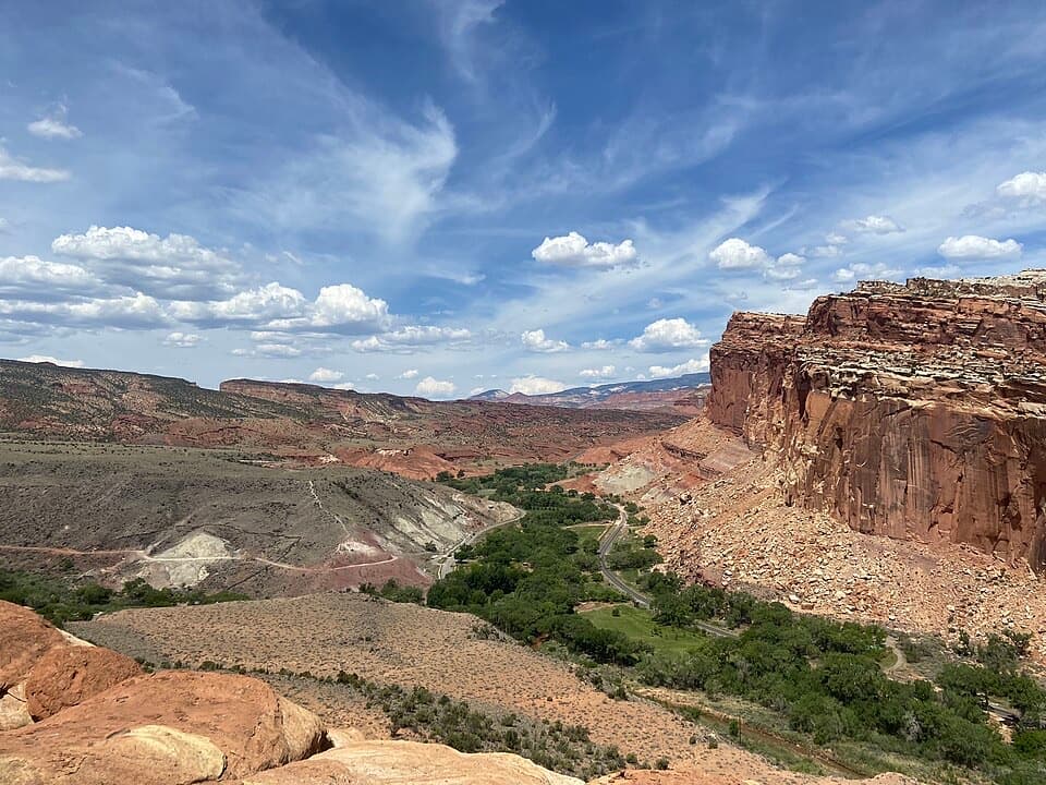
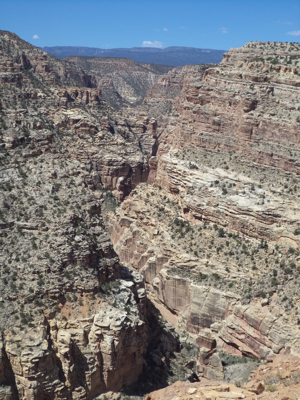
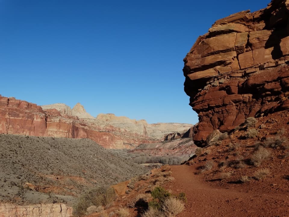
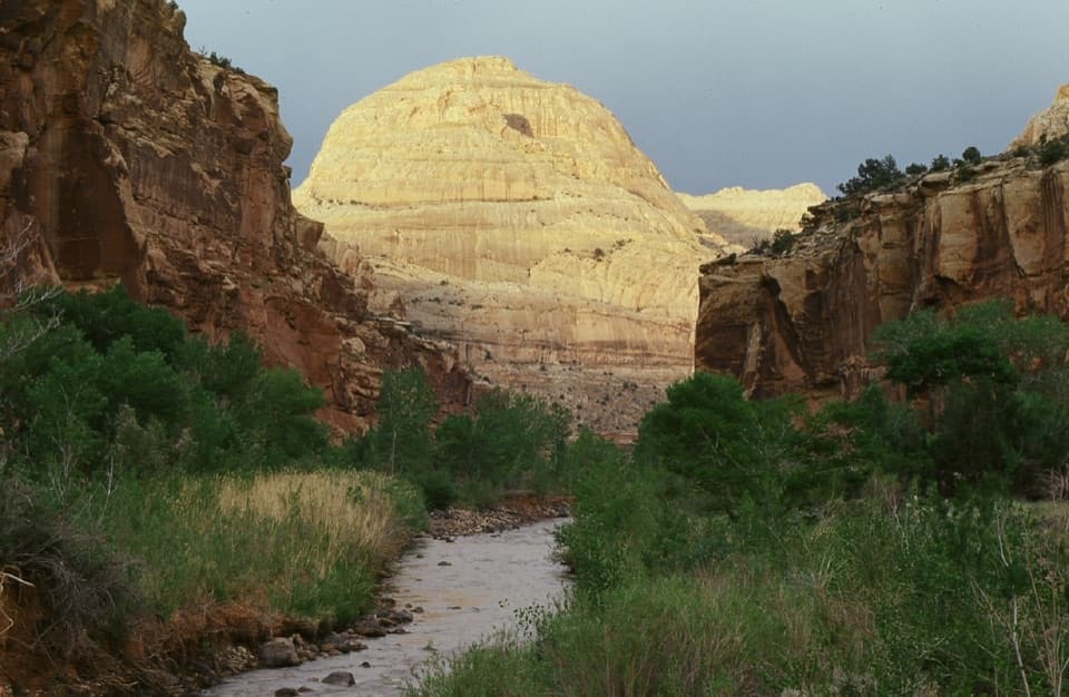
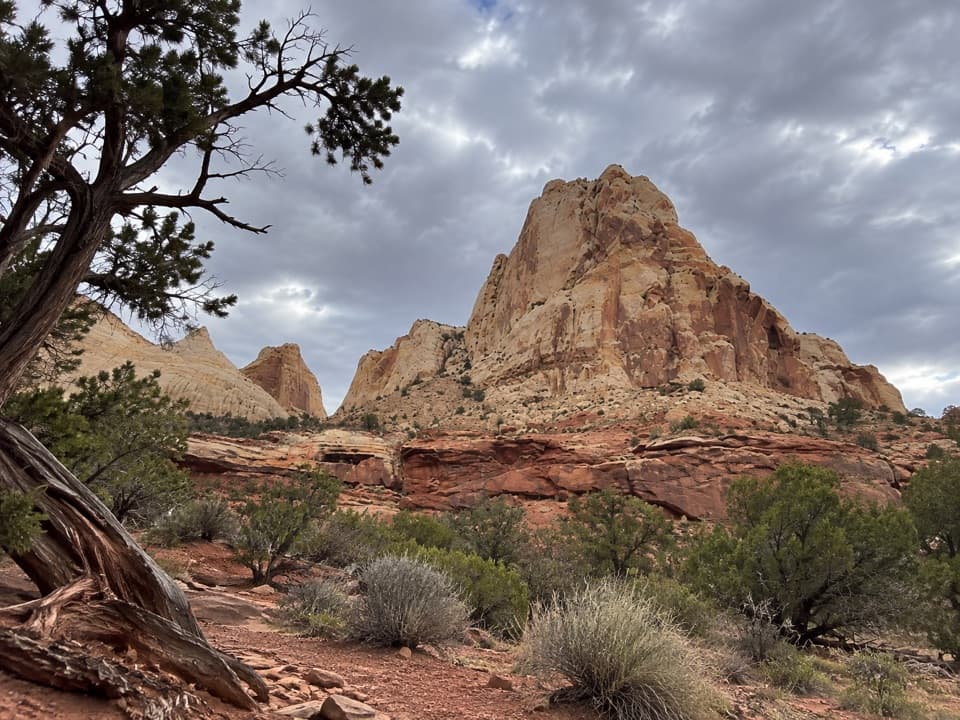
The route climbs and drops across open slickrock, passing a small tower before dipping into an unnamed canyon and climbing out again. Look back as you go: the Navajo domes stand out behind the ridge. Farther along, views open over Grand Wash and Ferns Nipple, and the trail descends toward the wash for its finish. The changing line of cliffs and towers is the payoff; this is a long crossing, not a single overlook.

Effort, heat and waterThe National Park Service rates the connector strenuous, and the full route keeps that…

The National Park Service rates the connector strenuous, and the full route keeps that character. Expect repeated climbs and drops on rocky, cairned ground, with little shade across the mesa. There’s no water at the trailheads. Spring and fall, or a snow-free winter day, are easier seasons for this exposed walk; summer heat can become severe, so use the cooler parts of the day. Flash floods are a real danger in the canyon sections: stay out during storms and never cross flowing water. Pets aren’t allowed on park hiking trails.

Cassidy Arch is optionalAt the Cassidy Arch junction, a half-mile round-trip spur reaches the arch viewpoint.

At the Cassidy Arch junction, a half-mile round-trip spur reaches the arch viewpoint. It’s a separate detour and isn’t included in the 4.43-mile route. For the ridge panorama, frame the slickrock path and nearby towers with the pale cliffs beyond; looking back brings the distant domes into the same view.

Is this the hike for you?From Hickman Bridge, cross the UT 24 bridge over the Fremont River and walk west to the Cohab…

From Hickman Bridge, cross the UT 24 bridge over the Fremont River and walk west to the Cohab Canyon junction. Take the left branch for Frying Pan. At the Cassidy Arch junction, stay on the route toward Grand Wash, then turn up-canyon for the upper trailhead.

Wildlife

Wildlife in Capitol Reef

All Capitol Reef wildlife maps

Sighting maps show where each species has been reported across Capitol Reef. Wildlife moves, so no sighting is guaranteed.

Keep exploring

Near Frying Pan Trail

See it all on the map

Trails that start nearby

Places near the trailhead

Parkwolf’s Capitol Reef ranking

Top-rated trails in Capitol Reef

All 48 trails
  1. 1Hickman Bridge TrailModerate · 1.8 mi
  2. 2Cassidy Arch TrailChallenging · 3.4 mi
  3. 3Grand Wash TrailEasy · 4.4 mi
  4. 4Capitol Gorge TrailEasy · 2 mi
  5. 5Navajo Knobs TrailChallenging · 9.4 mi
  6. 6Rim Overlook TrailChallenging · 4.6 mi

Take Parkwolf to Capitol Reef.

The audio tour guide for the drive, plus offline maps, trails, and wildlife heatmaps for when the signal drops.

4.7 from 8,600+ ratings

Download Parkwolf on the App StoreGet Parkwolf on Google Play