Pros & cons
PROS
- Short, fun side slots right off the main canyon corridor
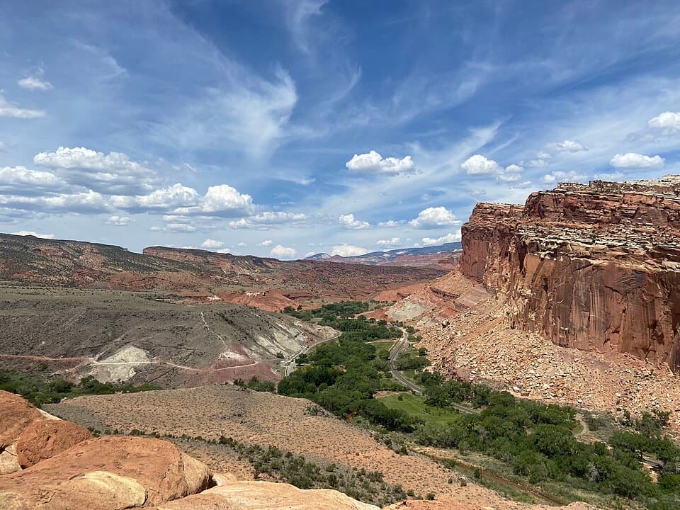
- Two signed overlook spurs with big views over Fruita and the Fremont River
- Quieter than the park’s headline hikes at off‑peak hours
CONS
- Steep, sun‑exposed start that bakes in summer
- Point‑to‑point requires shuttle logistics to avoid backtracking
- Slickrock can be icy in winter
Park at Fruita near the Gifford area across from the trail start, or at the UT‑24 access east of Fruita opposite the Hickman Bridge parking; the Fruita lot is larger.
No water on the route; carry your own. The initial climb is steep and exposed to sun. Expect uneven slickrock and gravel; ice or snow may linger in winter. Dogs are not allowed.
Overview
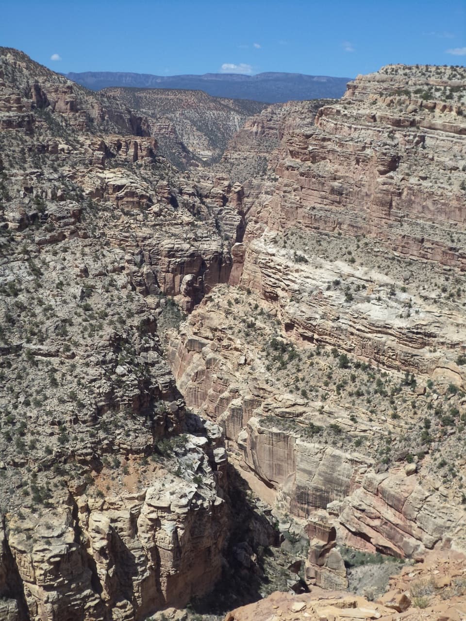
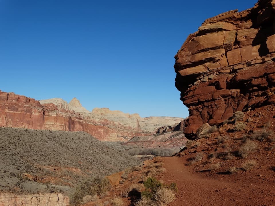
Cohab Canyon delivers a compact taste of Capitol Reef’s canyon country: colorful walls, short slot side canyons, and sweeping overlooks above Fruita. Most hikers do this as a 3.4‑mile round‑trip from Fruita, with about 340–500 feet of gain. The first half‑mile climbs steeply via switchbacks; once you crest, the canyon strolling is gentler. You can also hike it point‑to‑point between Fruita and UT‑24 if you arrange a shuttle.
Route options
From Fruita, climb the switchbacks into Cohab Canyon and follow signed spurs to the North and South Fruita Overlooks for big views of the Fremont River, orchards, and domes. The typical outing is an out‑and‑back (about 3.4 miles total). If you go end‑to‑end, plan on roughly 1.7–2.2 miles one way depending on how many spurs and side slots you explore. The trail also connects to Frying Pan, which links to Cassidy Arch and Grand Wash if you want to turn this into a bigger day.
What you’ll see
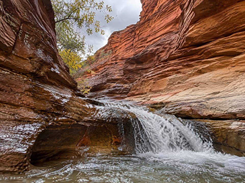
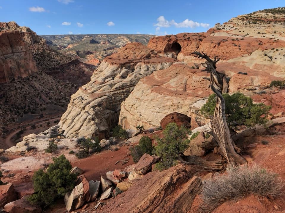
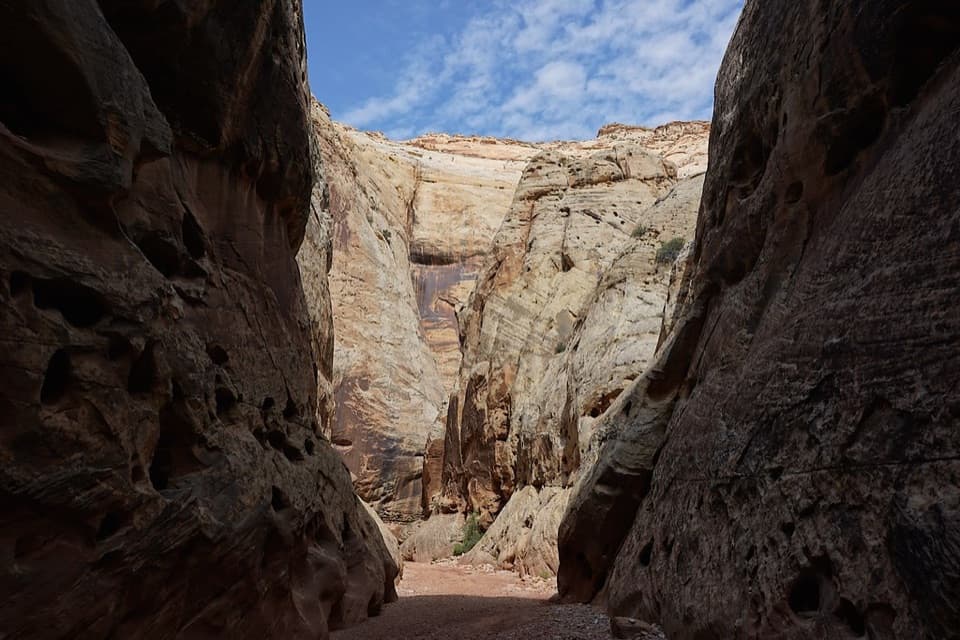
The canyon’s sandstone is part of the Waterpocket Fold, weathered into pocked “Swiss‑cheese” walls and sculpted alcoves. Several short, narrow slots branch off the main corridor—quick detours that are a highlight for many. Expect a mix of gravelly tread and slickrock, with pockets of shade from trees on the canyon floor. Views from the overlooks frame the Fruita orchards and historic homestead area far below.
Best time to hike
Spring and fall are the sweet spot for temperatures and light; early morning or late afternoon adds softer color and better photos on the canyon walls. Summer is hot and exposed—start early or go late. Winter hiking is possible but watch for ice or snow lingering on slickrock.
Logistics and tips
Start at Fruita (across from the Gifford area) or the UT‑24 end east of Fruita. Both trailheads have parking, with a larger lot in Fruita. Carry plenty of water (there’s none on route) and sun protection, and wear sturdy shoes for uneven slickrock. Dogs aren’t allowed, and a park entry fee applies. If you don’t have a shuttle, keep it simple and make it an out‑and‑back. Want more? Link Cohab Canyon to Frying Pan for a longer, more committing day that can include Cassidy Arch.
Elevation
3.4 mi · 2 hrWhere it starts
38.2845, -111.2367Near Cohab Canyon Trail
All places →All trails →
0.1 mi awayCohab CanyonQuiet canyon hike with playful slots and big Fruita viewsTrailhead · Parking
0.2 mi awaySouth Fruita OverlookQuiet overlook above Fruita with big valley and orchard viewsScenic Viewpoint
0.2 mi awayNorth Fruita OverlookShort spur to big views over Fruita and the Fremont River canyonScenic Viewpoint
0.4 mi awayCapitol Reef Petroglyph TrailQuick boardwalk to superb Fremont rock art on sheer sandstoneEasy · 0.3 mi · 15 min
0.4 mi awayPetroglyph Panel BoardwalkZero-effort window into Fremont rock art along a red cliffEasy · 0.3 mi · 18 min
0.4 mi awayFremont Culture PetroglyphsRoadside boardwalk to bold Fremont rock art on sheer cliffsTrailhead · Pullout
0.5 mi awayFrying Pan TrailCairned slickrock traverse linking Fruita to Cassidy Arch viewsModerate · 4.4 mi · 2.5 hr
0.6 mi awayNavajo Knobs TrailA big-view grind to unbeatable 360-degree panoramas.Challenging · 9.4 mi · 7 hr