Pros & cons
PROS
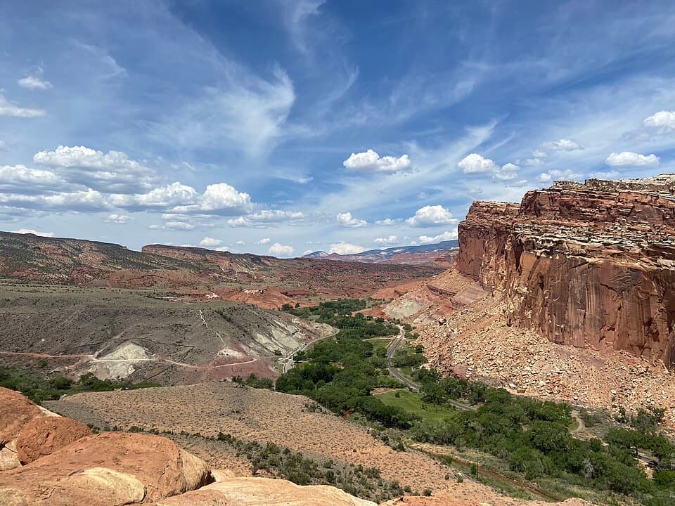
- Sweeping panorama of the Fremont Gorge and multicolored cliffs
- Quieter, underrated hike with real solitude compared to busier viewpoints
CONS
- Steep, sustained climb with little shade
- No facilities at the overlook; parking is limited at the trailhead
Overview
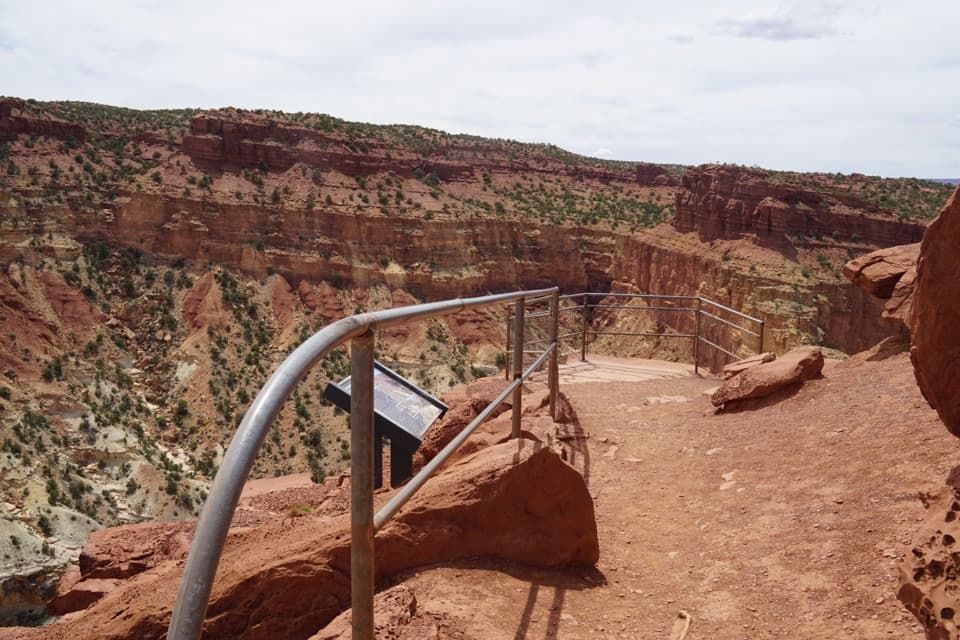
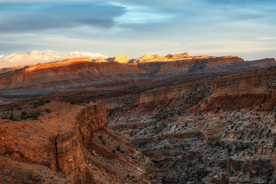
If you like your views earned, Fremont Gorge Overlook delivers. It’s a moderately strenuous out-and-back hike to a windy, wide-open perch above the Fremont Gorge and the Waterpocket Fold’s colorful cliffs. It’s also one of the park’s quieter front-country rewards—often overlooked and better for it.
The Hike
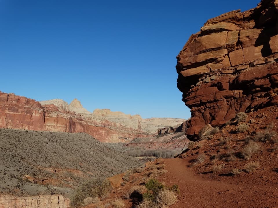
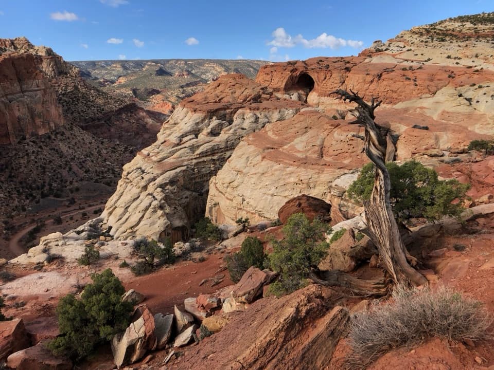
The Fremont Gorge Overlook Trail is about 4.6 miles round-trip with roughly 1,090 feet of elevation gain. You’ll climb out of Fruita toward Johnson Mesa, where the grade eases for a scenic traverse dotted with juniper, Mormon tea, and striking black basalt boulders from ancient volcanic activity. The final approach reaches a dramatic cliff-edge vantage. Expect exposure to sun and wind most of the way and bring plenty of water.
What You’ll See
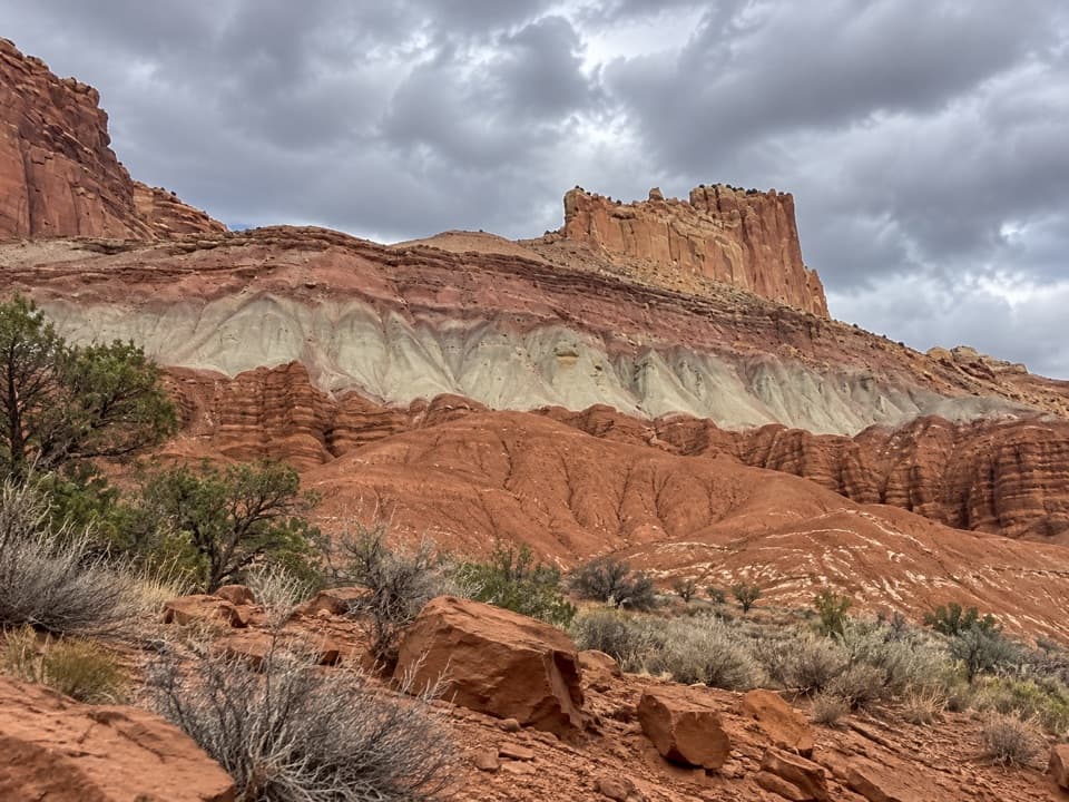
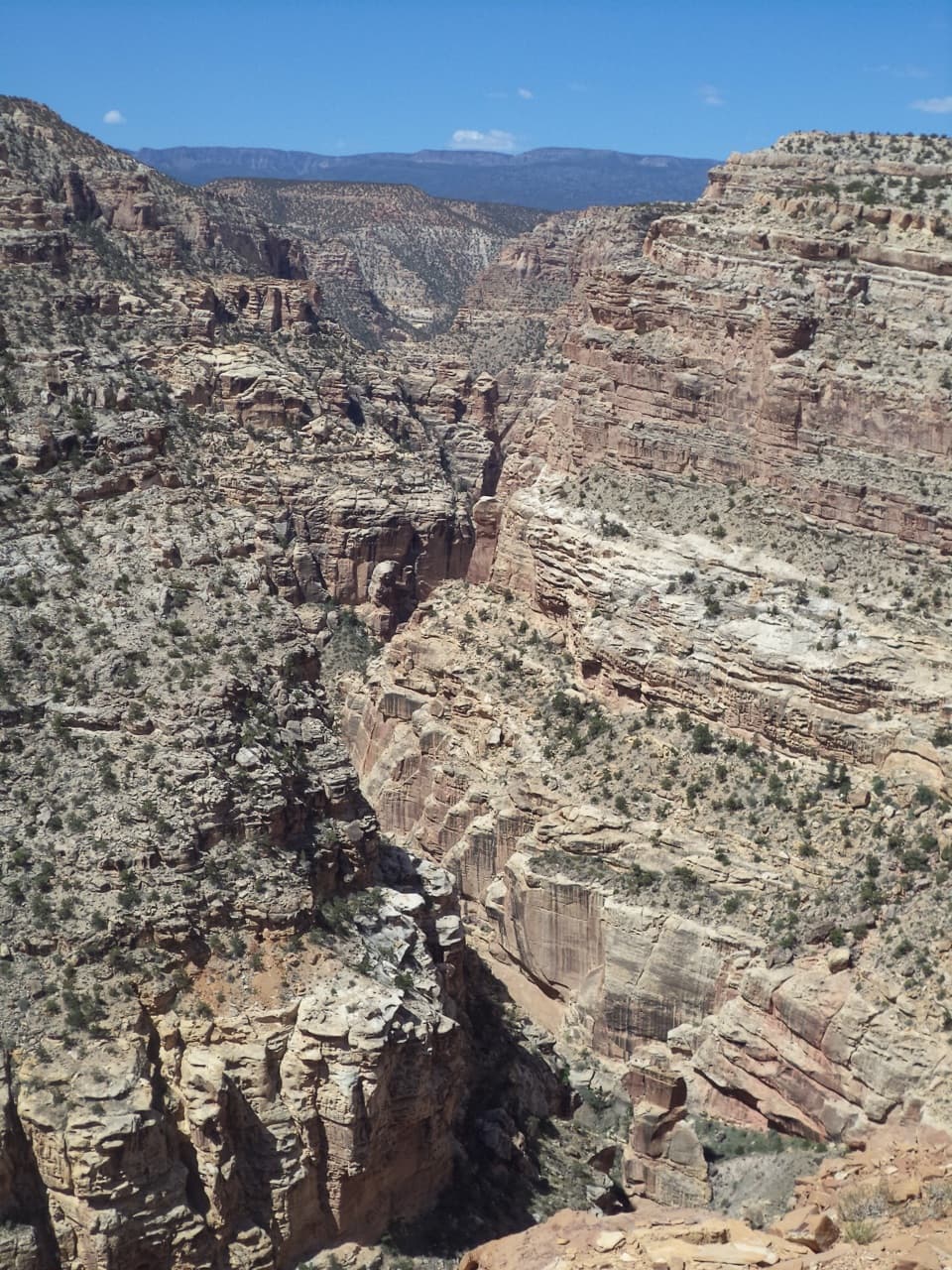
From the overlook, the gorge yawns below—carved by the Fremont River—and beyond it, a cross-section of Capitol Reef’s multihued layers. The contrast of dark basalt boulders on the mesa with lighter sandstones is a sweet bonus for geology nerds. On clear days, distant mesas and the spine of the Waterpocket Fold stack the horizon.
Best Time to Visit
Morning light best reveals the depth and texture of the gorge; afternoons favor the broader panorama. If you’re splitting the difference, around midday can balance both. Crowds are typically light throughout the day compared to marquee trails, but summer heat can make the climb feel bigger—start early then.
Wildlife Odds
This mesa country can host mule deer, lizards, and a variety of birds. Keep your eyes and ears open along the flats and near shrubby pockets; activity is best in the cooler hours of morning and late afternoon.
Know Before You Go
There are no facilities at the overlook and none indicated right at this destination—plan to use restrooms and refill water in Fruita before you start. Winds at the rim can be fierce, and shade is limited throughout the hike. Layer up, carry more water than you think you need, and treat the edge with respect.
Where it is
38.2796, -111.2626Tips for Fremont Gorge Overlook
- 01Start early in hot months—the climb is exposed and heats up fast.
- 02Morning favors gorge detail; afternoons favor the big panorama; midday balances both.
- 03Expect strong winds at the rim—pack a light layer even on warm days.
- 04Use restrooms and top off water in Fruita before you hike; none at the overlook.
- 05Check current trail/road conditions and planning info before you go: alerts [nps.gov](https://www.nps.gov/care/planyourvisit/conditions.htm), trail guide [nps.gov](https://www.nps.gov/care/planyourvisit/trailguide.htm), Scenic Drive context [nps.gov](https://www.nps.gov/care/planyourvisit/scenicdrive.htm).
Amenities
Near Fremont Gorge Overlook
All places →All trails →
0.7 mi awayFremont River TrailRiverside stroll to a steep climb with big Fruita viewsModerate · 2.1 mi · 1.5 hr
0.8 mi awayFruita CampgroundHistoric orchard oasis campground with flush toilets and dark skiesRestroom · Parking
0.8 mi awayCapitol Reef Natural History Association Park StoreOfficial park bookstore for maps, guides, and mission-supporting giftsStore · Visitor Center
0.8 mi awayCapitol Reef Visitor CenterSmall hub for exhibits, rangers, and Scenic Drive passesRestroom · Exhibit
0.9 mi awayFruita BarnClassic red‑rock barn in a green, orchard-lined valleyParking
0.9 mi awayFrying Pan TrailCairned slickrock traverse linking Fruita to Cassidy Arch viewsModerate · 4.4 mi · 2.5 hr
1.3 mi awayCapitol Reef Petroglyph TrailQuick boardwalk to superb Fremont rock art on sheer sandstoneEasy · 0.3 mi · 15 min
1.3 mi awayPetroglyph Panel BoardwalkZero-effort window into Fremont rock art along a red cliffEasy · 0.3 mi · 18 min