Overview
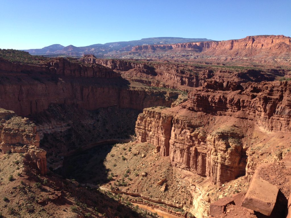
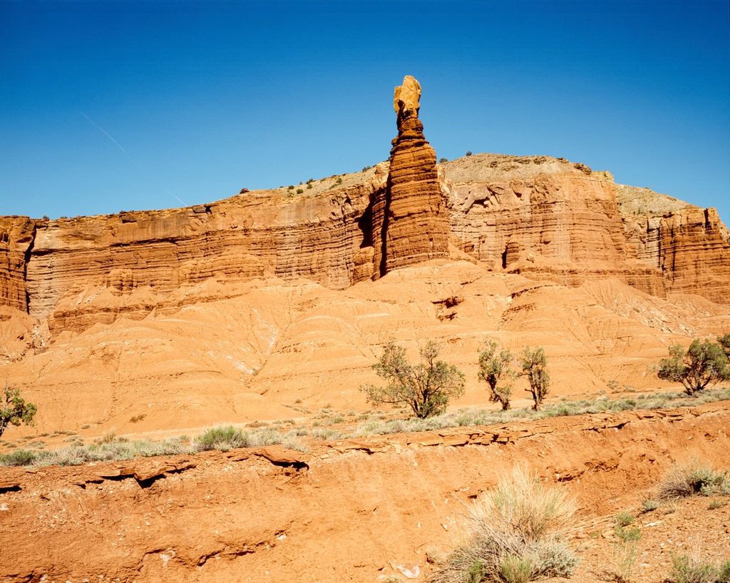
Sulphur Creek is Capitol Reef’s classic water hike: a semi‑maintained, point‑to‑point canyon trek where you follow a perennial creek from near Chimney Rock down to the Visitor Center. It runs about 5.5–5.8 miles with roughly 500–600 feet of descent, and most of your time is spent at creek level between soaring red walls. Plan on 3–5 hours depending on pace and playtime.
Route at a Glance
- Typical direction: start at Chimney Rock, descend side drainages to Sulphur Creek, then follow the water downstream to the Visitor Center.
- Expect long stretches of wading (knee‑deep is common, deeper in spots) and three notable waterfalls that require careful scrambling and, at times, short swims.
- The first bit up high can be dry; once you hit the creek, you’ll be in and out of the water for miles.
- Arrange a shuttle or a second vehicle, or be prepared to walk the highway back after finishing.
Why It’s Special
- A true desert cool‑down: sustained shade and moving water make this a relief in hot weather.
- Three waterfalls, sculpted pools, and continuous canyon scenery keep things interesting.
- It’s a quieter alternative to Utah’s famous water hikes—adventurous without feeling overrun.
Safety and Conditions
- Water quality: the park warns that E. coli can be present—don’t drink from Sulphur Creek and avoid full submersion.
- Flash floods are a serious hazard; skip this route if storms are in the forecast and always check conditions at the Visitor Center.
- Expect slippery rock, uneven footing, and occasional swims; navigation is unmarked in places, and unofficial cairns should not be trusted.
Geology
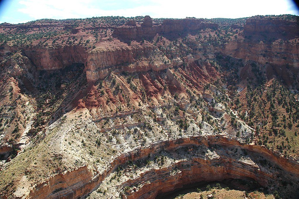
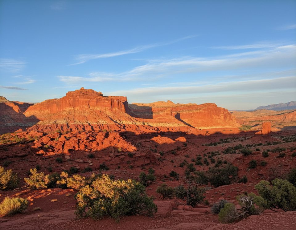
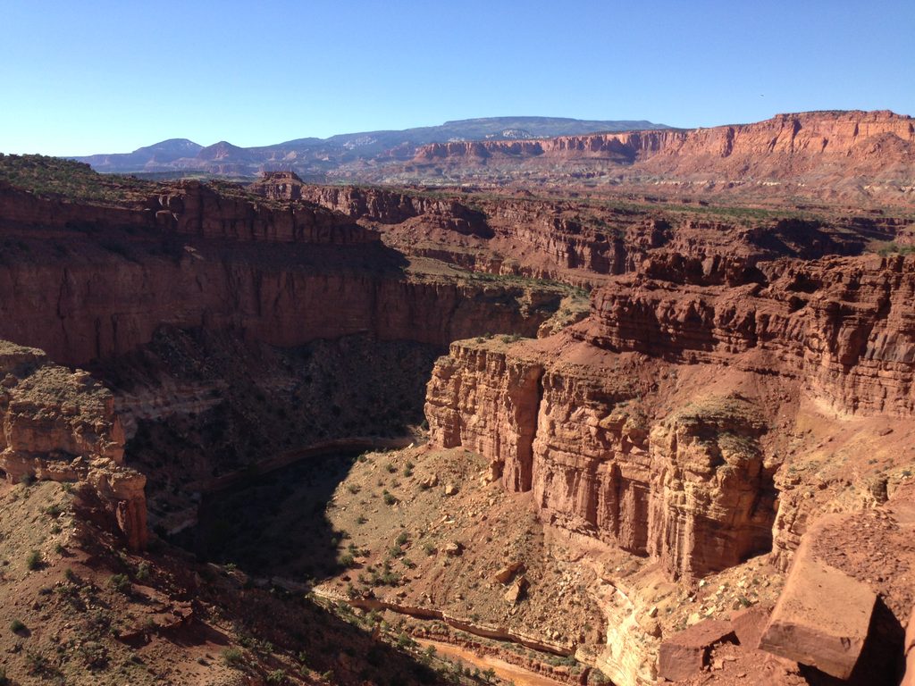
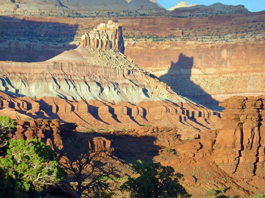
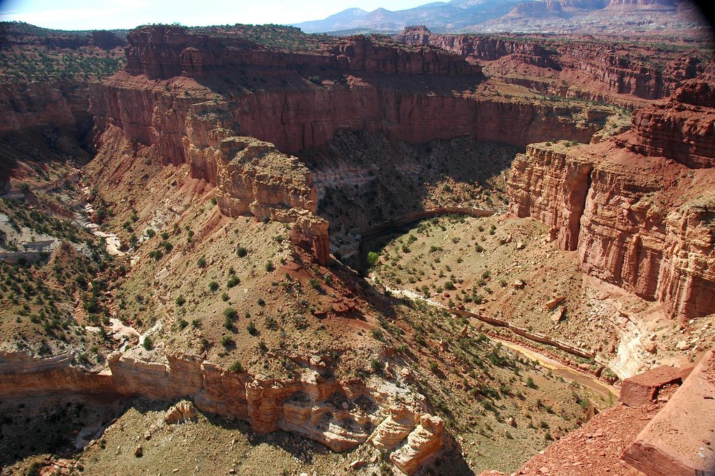
Walk through time in vivid layers: redbeds of the Lower Triassic Moenkopi Formation over the Permian Kaibab Limestone. The canyon’s varnished walls, erosional narrows, and scattered boulders showcase classic Capitol Reef geology.
Wildlife
Keep an eye out for lizards, songbirds and raptors, plus the usual desert small mammals. Wildlife isn’t a guarantee here, but quiet hikers often spot movement along the water’s edge.
Short, Family‑Friendly Taste
Short on time? From the Visitor Center, you can do an out‑and‑back of roughly 0.75 miles each way to a small waterfall, passing a historic lime kiln near the start.
Best Time to Visit
- Season: Spring through fall, avoiding stormy periods. Mid‑summer offers warmer water but higher air temps.
- Timing: Start early for cooler temps and softer light. Weekdays are typically quieter.
- Photography: The canyon’s walls mean gentle, reflected light most of the day; direct sun is limited.
Planning and Gear
- Footwear: sturdy shoes that handle wet rock; quick‑dry clothing helps. Neoprene socks are great in cooler months.
- Pack a dry bag for electronics, plus plenty of drinking water and snacks—do not treat or drink creek water here.
- No permit is required. There are no built amenities along the route; use facilities near the Visitor Center before you start.
- Navigation is straightforward if you stick to the creek downstream, but be ready for minor route‑finding around falls.