

Place · 0 mi away
Easy
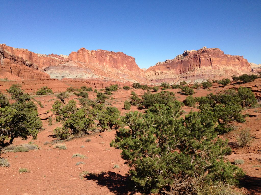
Panorama Point is the definition of high reward for low effort. This is a very short walk—about 0.1 miles total out-and-back—up a gentle dirt path onto slickrock for sweeping, 360-degree views. It’s perfect as a first stop to orient yourself to the park’s geology and landmarks, or a quick scenic break between longer hikes.
From the parking area just off Highway 24 (about 2.5 miles west of the visitor center), follow the compacted dirt path up a low hill to the rock outcrop. The official route is tiny, but you can wander a bit on the slickrock for different angles. Expect minimal elevation change and an easy grade, but the surface is uneven in places and not wheelchair accessible.
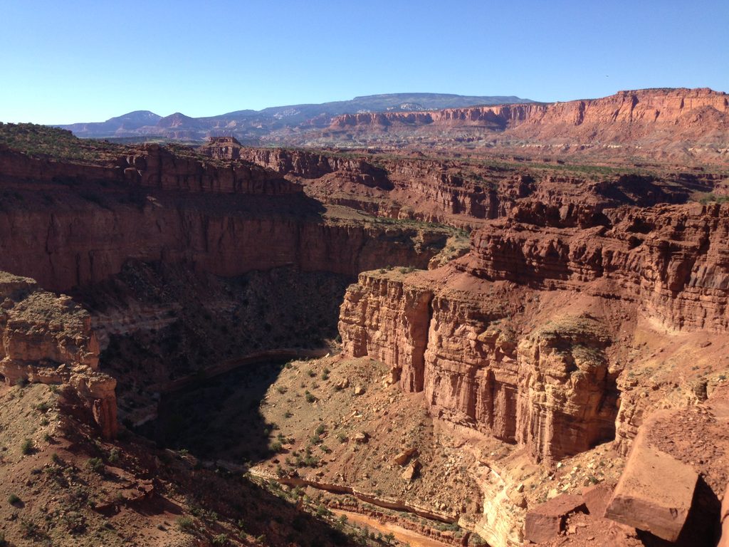
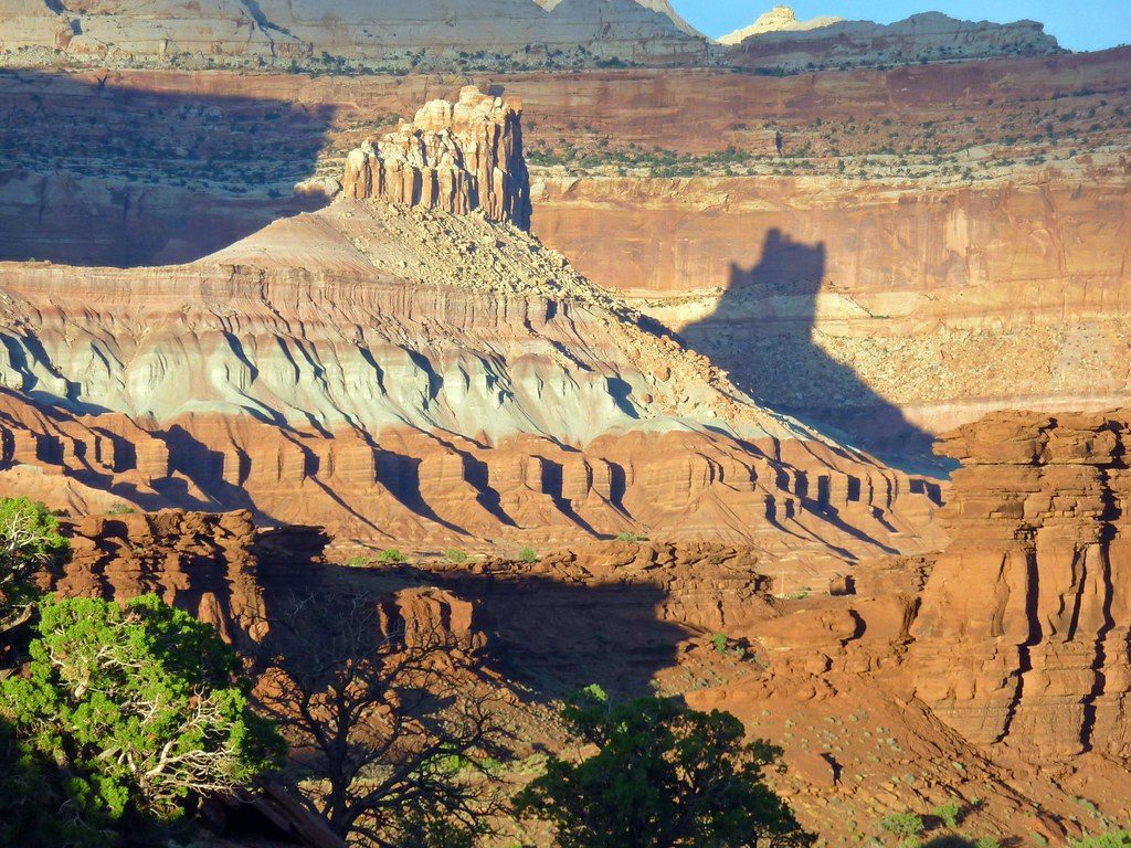
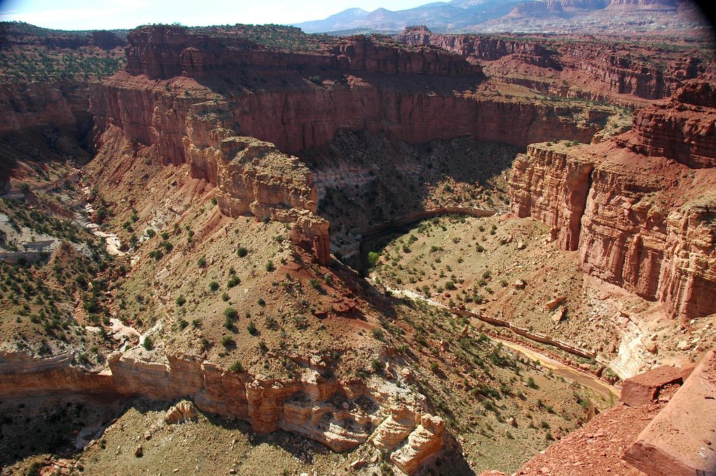
The viewpoint frames classic Capitol Reef layers: red Wingate Sandstone, banded Kayenta, and pale Navajo Sandstone, all draped along the nearly 100‑mile Waterpocket Fold. You’ll spot The Castle to the east, Chimney Rock to the west, and the Sulphur Creek canyons below. It’s a fantastic geology lesson at a glance, and the open perch makes for big-sky photos—especially at sunset when the cliffs light up. It also doubles as a superb stargazing spot thanks to dark skies.
Open year‑round. Spring and fall bring milder temps and crisp light; summer afternoons can be scorching with full sun exposure. Aim for sunrise or, better yet, sunset for color and slightly thinner crowds. After dark, bring a headlamp and enjoy the stars.
There’s a large parking area with interpretive signage; no water or restrooms here, so come prepared. Cell service may be present but can vary. Pets and bikes are not allowed on this trail. The rock is generally secure but can be slick when wet—watch your footing and keep a close eye on kids near edges.
From the same access area, you can quickly pair Panorama Point with Sunset Point and Goosenecks Overlook via the short spur road. If you’re craving a bit more solitude after the main overlook, continue beyond the knoll on the informal footpath toward Goosenecks for quieter rim views.
Large lot directly off Highway 24 about 2.5 miles west of the visitor center; same spur road serves Sunset Point and Goosenecks Overlook.
No shade or water; slickrock can be slippery when wet; windy conditions are common; pets not allowed on the trail; watch children near drop-offs.
Place · 0 mi away
Place · 0.5 mi away
Place · 0.6 mi away
Place · 0.7 mi away
Easy · 0.6 mi away
Easy · 0.7 mi away
Moderate · 0.7 mi away
Challenging · 0.7 mi away

Parkwolf Tour Guide
