Place · 0.2 mi away
Moderate

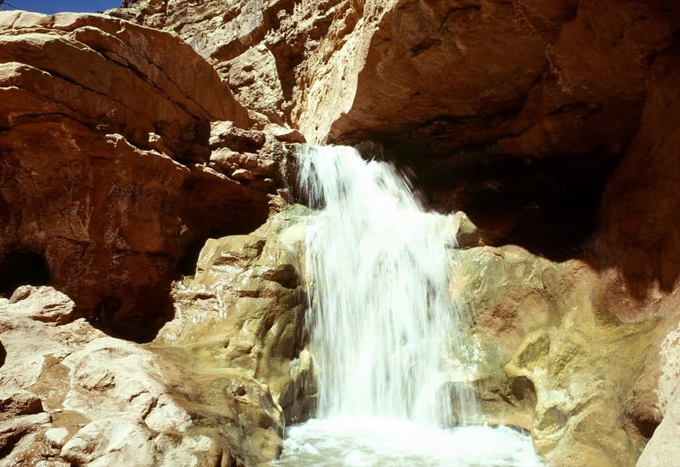
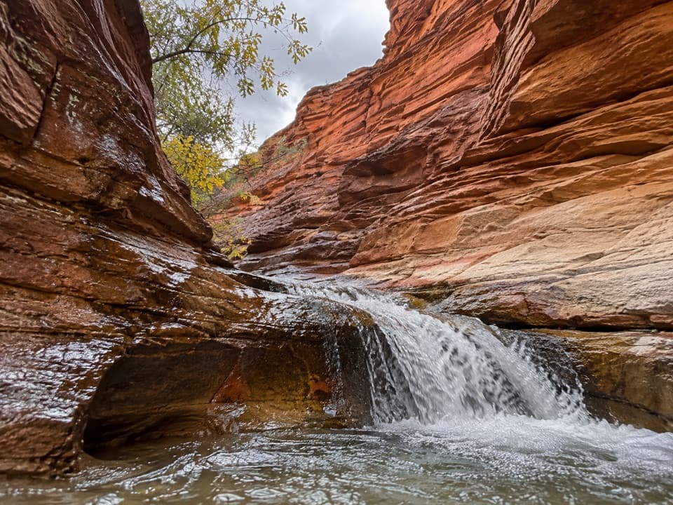
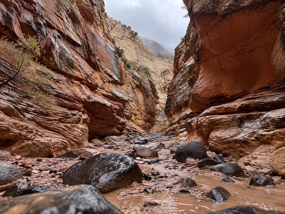
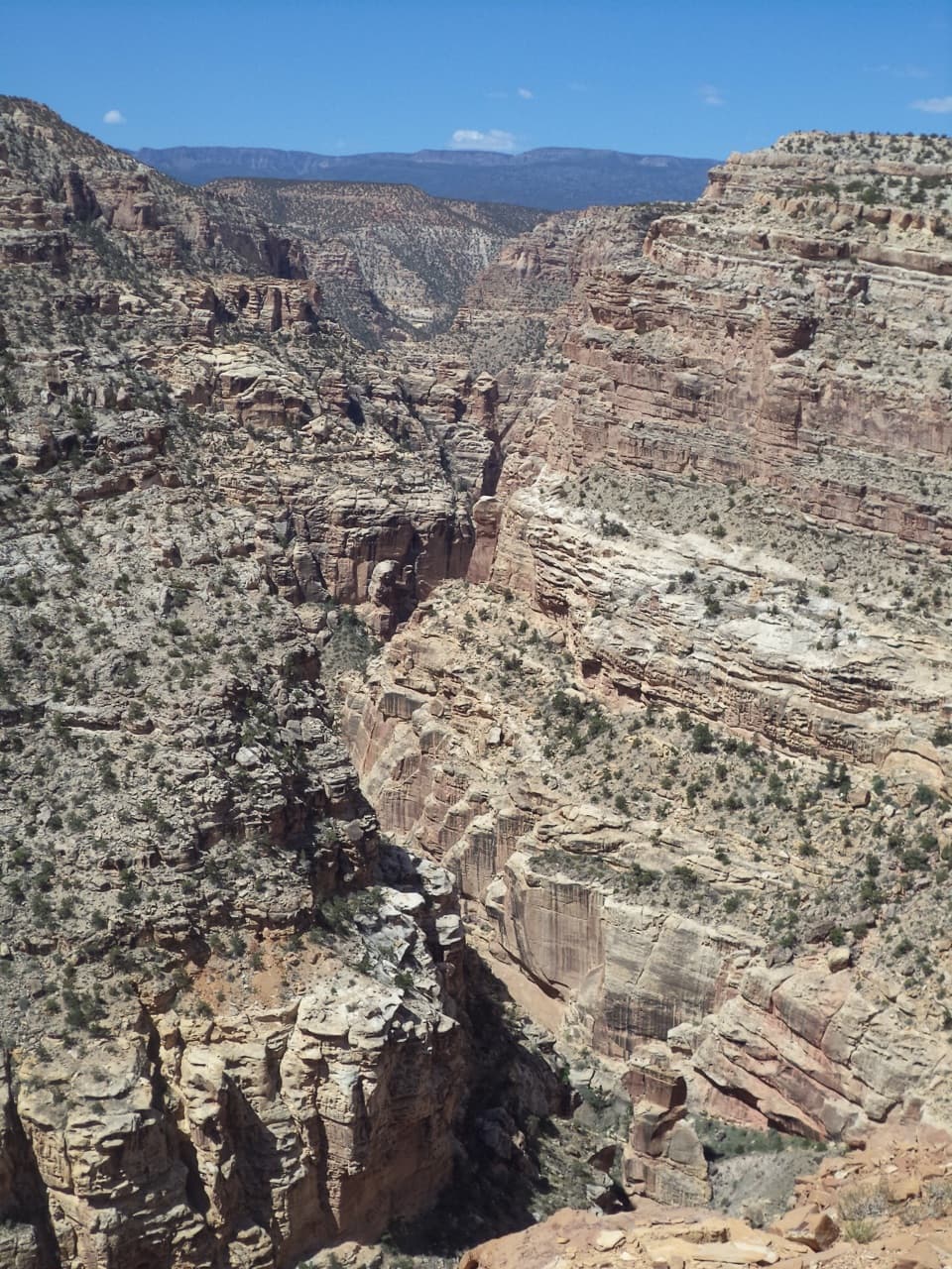
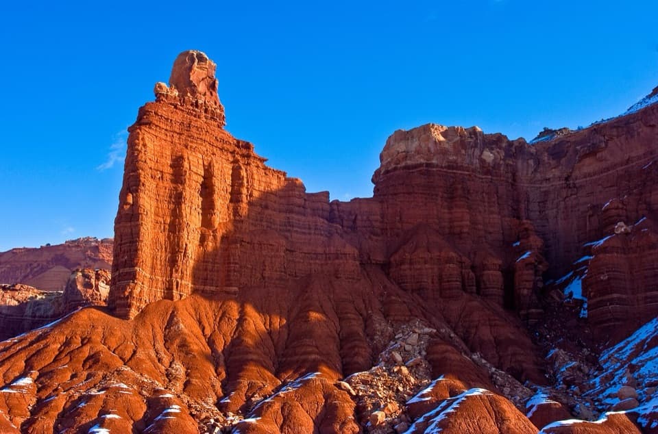
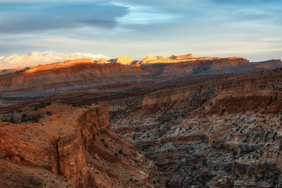
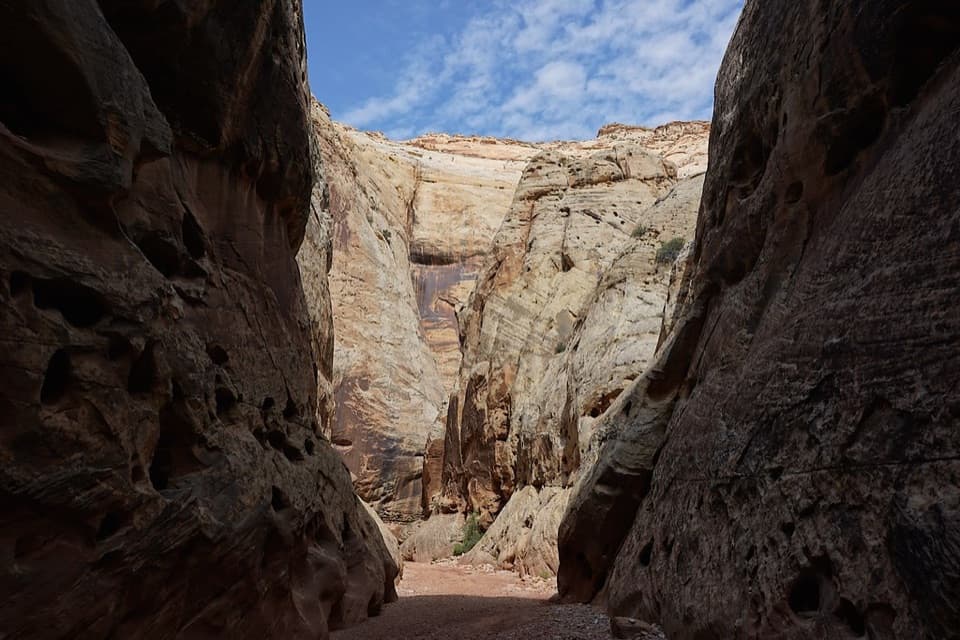
If you’re up for getting wet, Sulphur Creek delivers. This 5.8-mile one-way canyon route runs top‑down from the Chimney Rock area to the park’s visitor center, dropping through a roughly 600‑foot‑deep gorge with constant red‑rock drama, three small waterfalls, and stretches of intimate narrows. It’s unmaintained and not a sidewalk—expect wading and light scrambling—but that’s exactly why it’s one of the park’s most memorable adventures.
You’ll alternate between creek-bottom walking, cobbles, sand, and slickrock. Water levels vary by season and weather; plan on frequent crossings and wading that can reach thigh to occasional waist depth in spots. The three main waterfalls are the cruxes—each has a straightforward downclimb or a short bypass, but you’ll need hands-on movement and good judgment. Navigation is simple: follow the canyon downstream. About a mile in, a cairned bench on river right can save a little distance, but it drops steeply back to the creek—skip it if your group isn’t steady on rock.
Do this as a point-to-point with a car or bike shuttle to keep it enjoyable. Most hikers take 3–5 hours, depending on water, group size, and photo stops. It’s a sweet spot for fit beginners through seasoned hikers who like a little scramble without ropes. Not accessible for strollers or wheelchairs. No pets. No permit needed for day hiking.
Spring and fall are the safest bets for temps and water levels. Summer can be a blast—walking in cool water on a hot day is half the fun—but monsoon storms raise flash‑flood risk, so start early and go only with a bone-dry forecast. This route often feels less crowded than the park’s roadside classics, especially on weekdays and early mornings when light pops on the canyon walls.
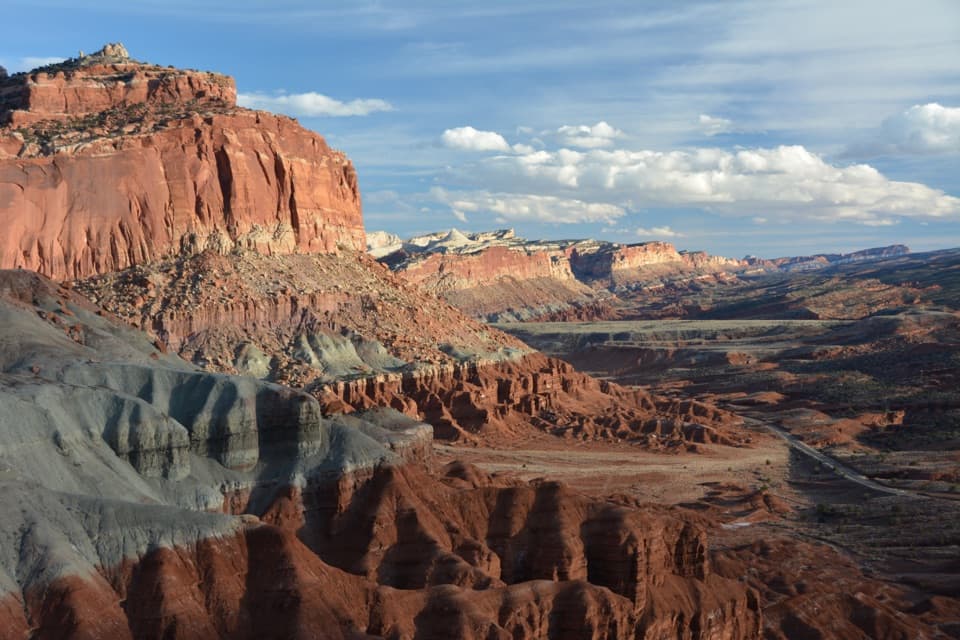
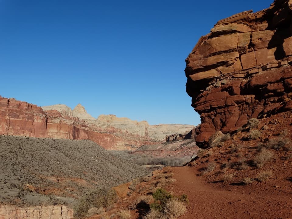
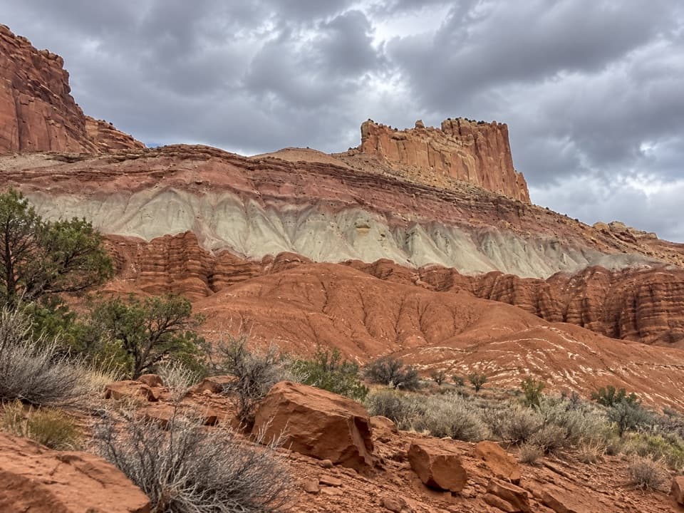
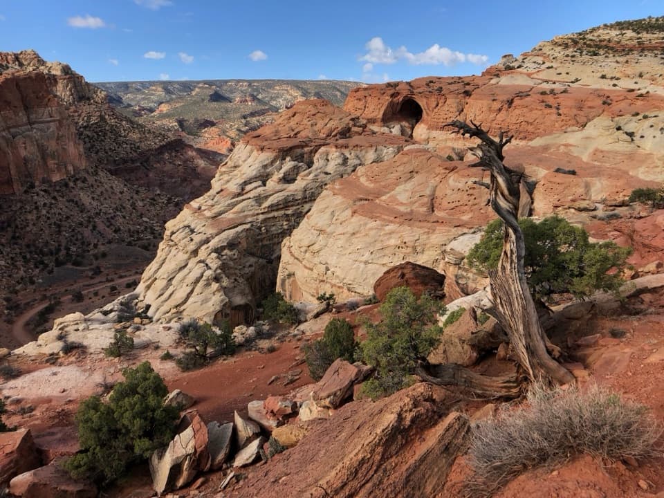
Watch the layers stack up: reddish Moenkopi slabs up high, with sculpted canyon walls showing the park’s classic sandstones. Near the lower end, you’ll pass a historic lime kiln and a small falls-and-pool “oasis” that’s hard to leave on a hot day. For a sampler, the lower section from the visitor center up to the first waterfall makes a fun 1.5–2 mile round trip.
This is a canyon: do not enter if storms are forecast anywhere in the drainage. Expect slippery rocks, variable depths, and some route finding at the falls. Dry bags for phones and keys are cheap insurance. Footwear that’s happy in water (grippy shoes or hiking sandals) makes this day.
Stage a shuttle: park one vehicle at Chimney Rock Trailhead and another near the visitor center at the gravel pullout by the bridge on SR 24 (avoid using the visitor center lot for long hikes).
Flash‑flood risk; never enter with storms in the forecast. Expect sustained wading (sometimes thigh–waist deep), slippery rocks, and hands‑on moves around three waterfalls. Unmaintained route; no pets.