Parking
Use the shared Sunset Point/Goosenecks parking area at the end of Panorama Point Road. Start from the east side of the lot for Sunset Point; the Goosenecks spur is separate.

#8 of 48 trails in Capitol Reef
Capitol Reef National Park, UT
A short rim walk for sunset over the Waterpocket Fold.
Overview
Look east from the endpoint toward the Waterpocket Fold; on a clear evening, Chimney Rock, Ferns Nipple, Boulder Mountain, and Mount Ellen are among the landmarks on the horizon. For a photograph, include the stone rim or ledge in the foreground with the layered canyon and Fold beyond it. That gives the panorama a sense of depth instead of turning it into a flat strip of distant cliffs.
 Parkwolf’s verdictA view worth waiting for
Map & elevation
Plan your hike

The highest, rockiest slopes around here are a summer buffet for grizzly bears.
Capitol Reef Tour Guide
Parkwolf is a GPS audio tour guide for Capitol Reef National Park. As you drive, it chimes in with what’s ahead: hidden gems, upcoming stops, history, geology, and wildlife, right through your car’s speakers.
See the Capitol Reef audio tourRecorded for this trailhead
Sunset Point and Goosenecks“Sunset Point and Goosenecks are coming up, with two quite different views from the same parking area.”
Plays as you drive up to this trailhead in the Parkwolf Capitol Reef Tour Guide.
More stories near here in the app
“Fantastic app with many points of information… It’s great to just turn on while you’re driving and it gives you an audio tour of the national Park. We love it!!!!”


Trail guide
Sunset Point is an easy out-and-back from the shared Sunset Point–Goosenecks parking area to a broad rim above Sulphur Creek canyon. The park lists the walk as 0.4 mile each way, so plan for about 0.8 mile round trip. Other published round-trip estimates range from about 0.6 to 0.8 mile; use the park’s rounded one-way figure for planning. The open desert path has a few small rocky rises and dips early, then mostly level walking. Allow 45 to 60 minutes with a stop at the overlook. It is a good choice when you want a wide Capitol Reef view without committing to a long climb or canyon hike.
Start at the east side of the shared lot and follow the maintained ground path toward Sunset Point. The first several hundred yards roll gently over stony ground. A bench partway along gives you a place to pause; after that, the route is mostly level as the views open across the canyon. The walk ends at the overlook, not at a summit, and there is no loop: turn around and retrace the same path to the lot. Sunset Point is its own walk from this parking area; the nearby Goosenecks spur is a separate route.
The view is the reason to come, and the late light brings out the reds and oranges in the Waterpocket Fold. Arrive about an hour before sunset so you have time to walk out and settle in. The return follows the same path; carry a headlamp if you stay until after dark. Pets are not allowed on this trail, and a park entrance fee is required. The walk is rated easy, with less than 50 feet of elevation change.
From the rim, the Fold’s long, tilted rock layers make more sense than they do from the road. It is a nearly 100-mile monocline: a step-like bend where layers that were once flatter have been lifted and tilted. The uplift happened during the Laramide Orogeny, about 50 to 70 million years ago, when movement on a buried fault raised the western side more than 7,000 feet relative to the eastern side. Erosion has since cut those tilted layers into the cliffs and canyons spread out below the overlook. The name Capitol Reef nods to two parts of that landscape: pale sandstone domes that look like capitol buildings and rocky cliffs that once obstructed travel like a reef.
The shared parking area is at the end of Panorama Point Road. Sunset Point leaves from the east side of the lot; Goosenecks is a separate, very short spur to its own fenced overlook, so do not count that spur as part of this route. There is no major climb, but expect natural uneven ground rather than a paved walkway. Water and restroom facilities at the lot were not confirmed, so do not rely on finding them there.
Wildlife
 50 sightingsBighorn SheepMost seen around 6 PMSighting map
 322 sightingsMule DeerMost seen around 6 PMSighting map
 70 sightingsMarmotMost seen around 7 AMSighting map
 13 sightingsCottontail RabbitMost seen around 7 PMSighting map
 33 sightingsTurkeyMost seen around 6 AMSighting map
 14 sightingsRavenMost seen around 9 AMSighting map
Sighting maps show where each species has been reported across Capitol Reef. Wildlife moves, so no sighting is guaranteed.
Keep exploring
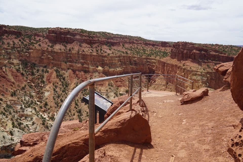 EasyGoosenecks Trail0.2 mi · 15 min · At the trailheadA short walk to Sulphur Creek’s tight canyon bend.
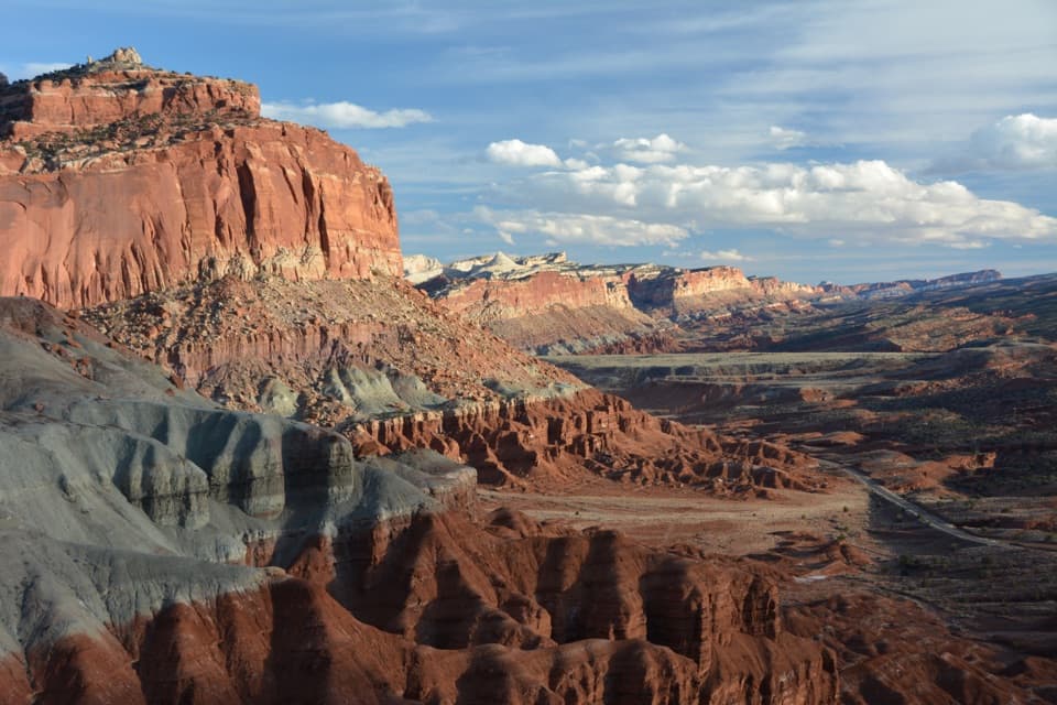 ChallengingChimney Rock Loop3.6 mi · 2.5 hr · 1.2 mi awayA steep climb opens onto Chimney Rock and Waterpocket Fold views.
 ChallengingLower Spring Canyon9.7 mi · 6 hr · 1.2 mi awayA long canyon walk with an exposed bypass and river ford.
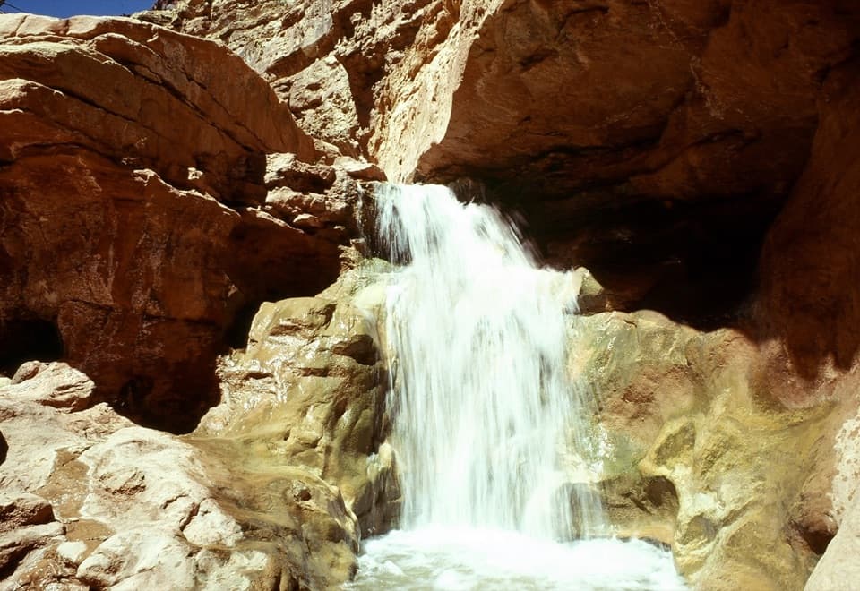 ChallengingSulphur Creek Route5.8 mi · 4.5 hr · 1.4 mi awayThree waterfalls and creek crossings make this a hands-on canyon hike.
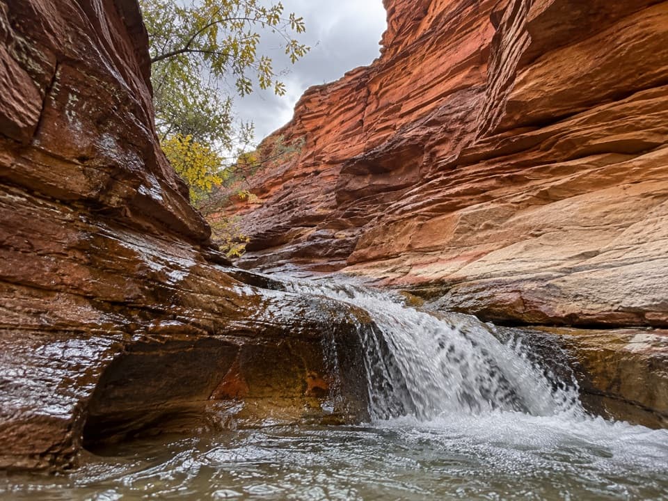 ModerateSulphur Creek Waterfall Hike1.4 mi · 1.5 hr · 2 mi awayFollow a desert creek upstream to a waterfall below red rock walls.
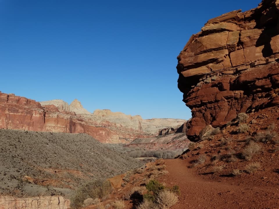 ModerateFremont River Trail2 mi · 1.5 hr · 2.8 mi awayRiver walk, a steep climb, and broad views over Fruita.
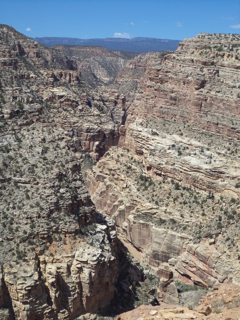 ChallengingFremont Gorge Overlook Trail4.6 mi · 3 hr · 2.9 mi awayA mesa climb ends above the Fremont River, 800 feet below.
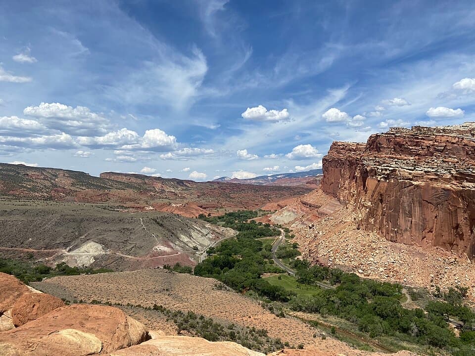 ModerateCohab Canyon Trail1.7 mi · 1.5 hr · 3 mi awayA steep Fruita climb opens into a sculpted sandstone canyon.
 Sight · 0.1 mi awayGoosenecks OverlookQuick access to Sulphur Creek's tight turns.
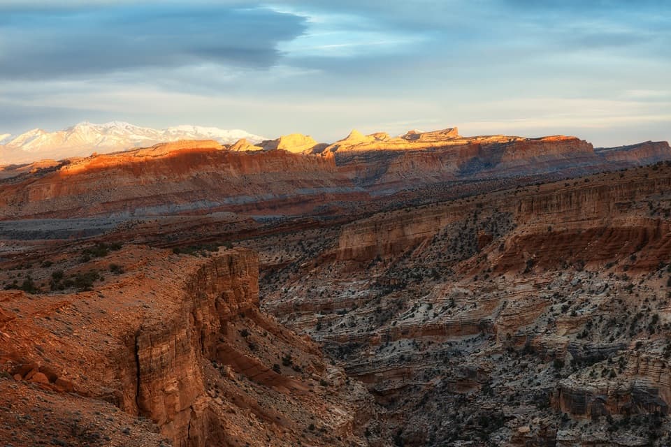 Sight · 0.2 mi awaySunset PointA short walk to sunset color on the Waterpocket Fold.
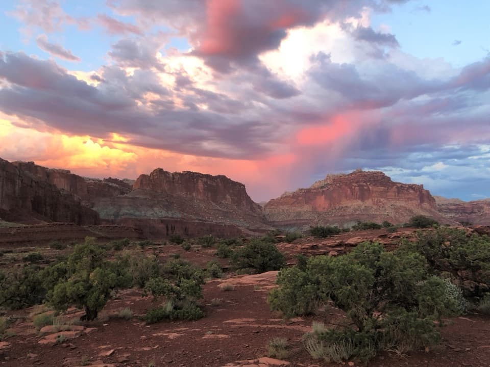 Sight · 0.5 mi awayPanorama PointA 360-degree red-rock view after one very short walk.
 Sight · 1.1 mi awayFluted Wall ViewpointA quick roadside stop for the Moenkopi’s fluted red wall.
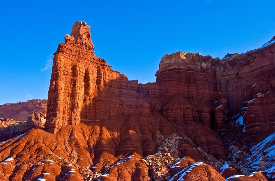 Sight · 1.1 mi awayChimney RockA capped red-rock tower beside the road, with a strenuous loop.
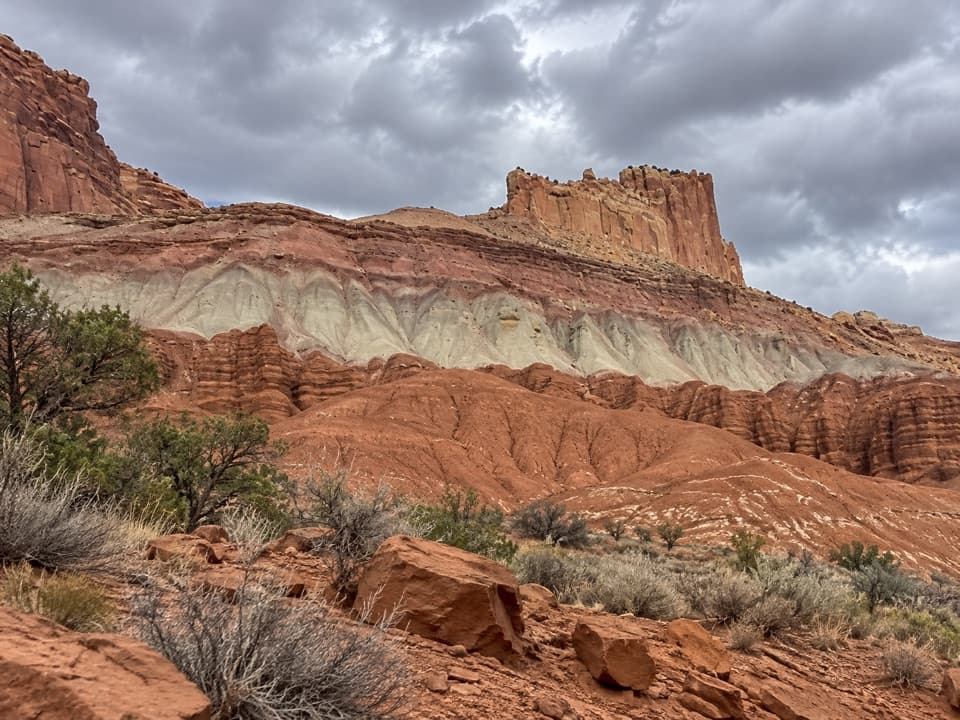 Sight · 1.4 mi awayThe Castle ViewpointA sandstone bluff cut free by erosion’s own moat.
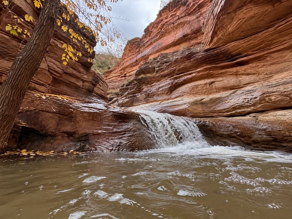 Sight · 1.5 mi awayLower Sulphur Creek WaterfallA short creek walk ends at a small waterfall.
 Sight · 1.6 mi awayNavajo KnobsClimb high above Fruita for a 360-degree view of the Waterpocket Fold
Parkwolf’s Capitol Reef ranking
The audio tour guide for the drive, plus offline maps, trails, and wildlife heatmaps for when the signal drops.





