
Place · 0.2 mi away
Challenging
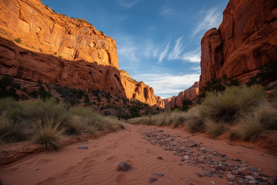
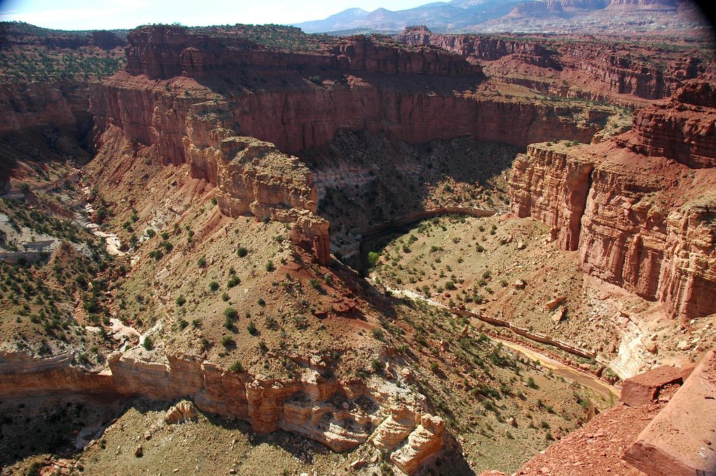
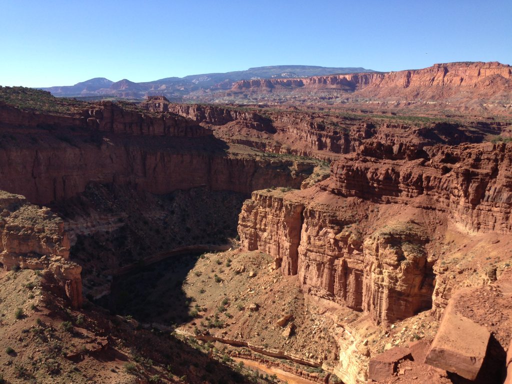
Upper Spring Canyon is Capitol Reef’s big, remote backcountry canyon—18.7 miles one way from Holt Draw to the Chimney Rock Trailhead. It’s unmaintained, strenuous, and breathtaking: a long descent through towering red Wingate sandstone walls and creamy Navajo domes, with silence and solitude for company. Most strong day hikers need 10+ hours; many parties split it into a 2–3 day backpack.
This is a point‑to‑point route commonly done north to south: start at Holt Draw and finish at Chimney Rock along Highway 24. Expect natural surfaces—sand, gravel, slickrock, occasional boulders—and modest route‑finding the whole way. The canyon deepens as you go, passing cottonwood pockets, minor slotty narrows in the Shinarump layer, and the confluence with North Fork Spring Canyon roughly six miles from Holt Draw. Portions of the upper route leave the park and cross onto adjacent national forest lands before re‑entering the park near the south end.
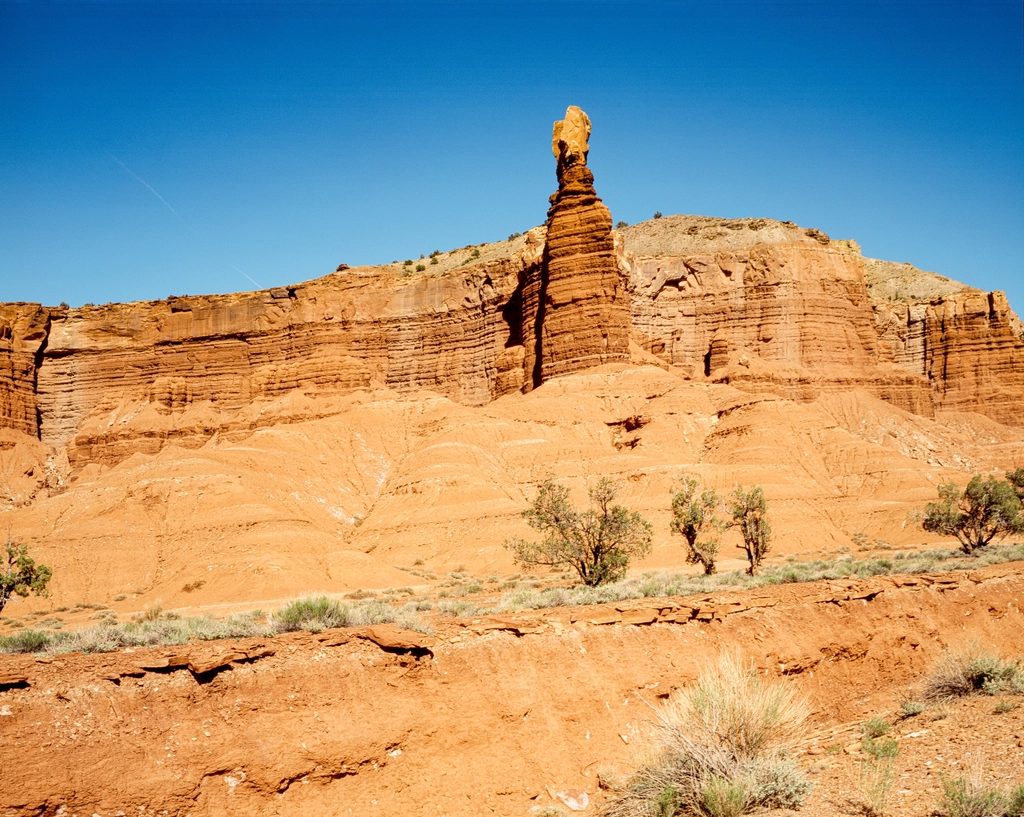
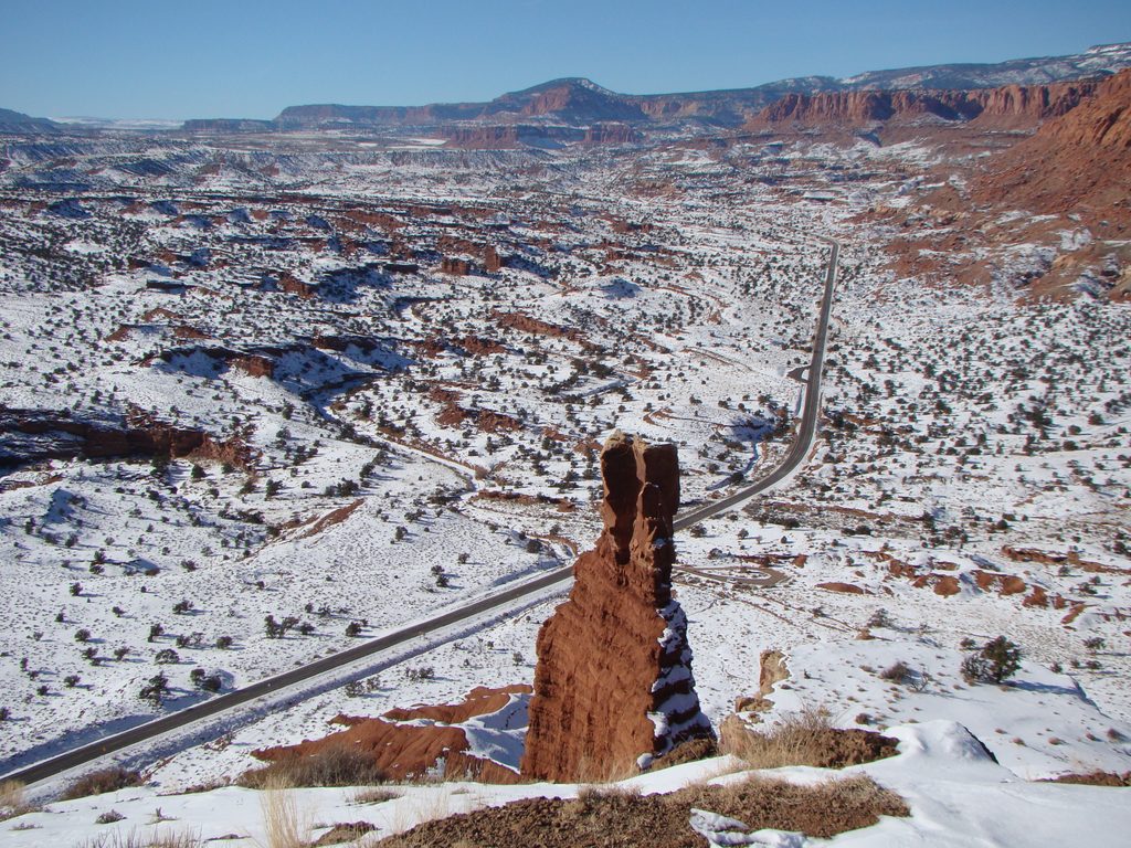
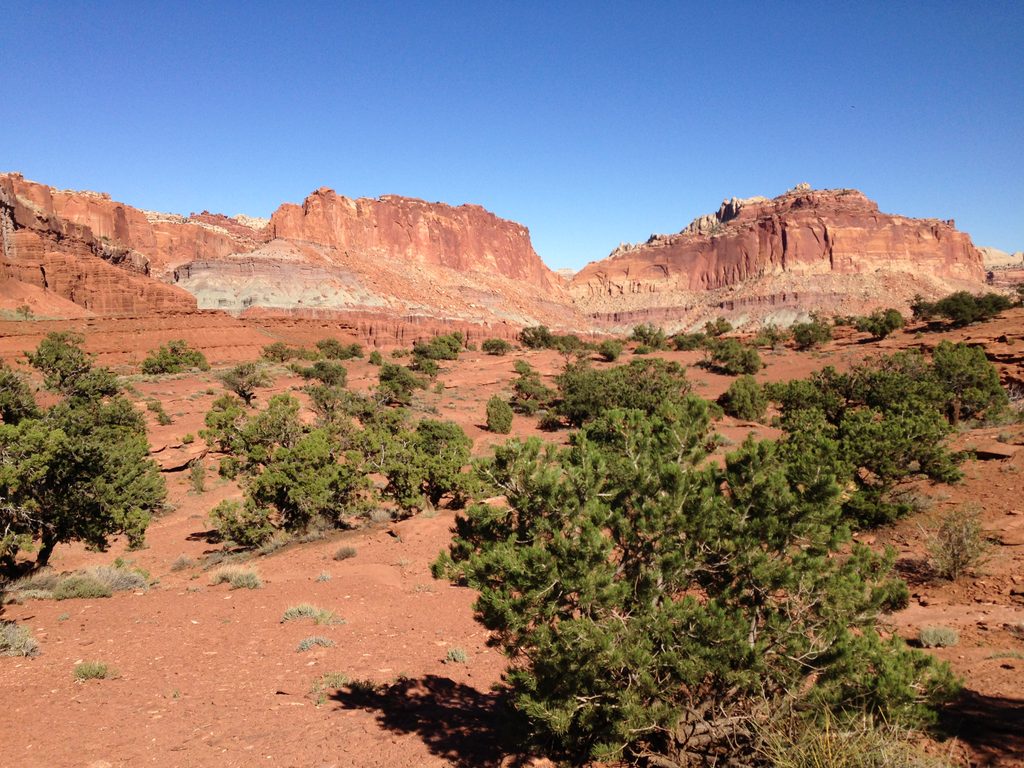
This is classic Colorado Plateau geology on full display. Sheer Wingate cliffs rise hundreds of feet above, Navajo domes glow in changing light, and purple‑hued Shinarump lends color to the narrows. Keep an eye out for sculpted hoodoos, bend‑after‑bend canyon vistas, and big‑sky views toward Meeks Mesa. Cottonwood groves brighten the wash, especially in fall.
Spring and fall are the sweet spot—cooler temps, longer daylight, and typically lower flash‑flood odds. Summer heat can be dangerous, and monsoon season (roughly July–September) spikes flood risk. Start early for cooler air and better photography light on the canyon walls.
A shuttle is required (or two vehicles), one at Holt Draw and one at Chimney Rock. No permit is needed for day hiking. Overnight trips require a free backcountry permit from the visitor center. Camps must follow backcountry regulations (including camping away from water sources). Printed maps and planning materials are available from the park bookstore; bring a detailed topo and GPS and know how to use them—signage and cairns are sparse.
Water is scarce and unreliable. There is often a small spring roughly 14 miles in, but it can be dry—plan to carry all you need until you confirm otherwise with rangers. Flash floods are the big hazard in narrow sections; avoid the canyon during or after storms. Expect exposure, deep sand, and long stretches without seeing another party. If you continue beyond the Upper section into the full Spring Canyon traverse, you must ford the Fremont River at the lower end—there is no bridge.
Seasoned desert hikers who want solitude, big canyon scenery, and a committing point‑to‑point will love this route—it’s one of the park’s premier backcountry experiences. If you’d prefer a shorter sampler, consider doing only a segment from either end, or tackle Spring Canyon’s lower section as a standalone overnight or long day instead.
Stage vehicles at both ends: Holt Draw (north) and Chimney Rock Trailhead on Highway 24 (south). Most hike north-to-south with a prearranged shuttle.
Unmaintained backcountry route with sparse signage; carry topo map and GPS. Flash floods are a real risk, especially mid‑summer; avoid storms. Water is scarce—plan to carry what you need since the spring around mile 14 may be dry. For full-canyon thru‑hikes, the lower exit requires fording the Fremont River (no bridge). Overnight trips require a free backcountry permit and camping away from water sources.
Place · 0.2 mi away

Place · 0.7 mi away
Place · 0.9 mi away
Place · 1 mi away
Moderate · 0 mi away
Moderate · 0 mi away
Easy · 0.7 mi away
Easy · 1.2 mi away

Parkwolf Tour Guide
