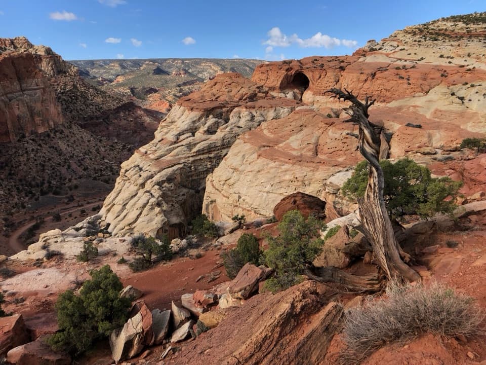
Parking
Start at the signed Burro Wash crossing parking area, 7.8 miles south of UT 24 on Notom–Bullfrog Road.
Capitol Reef National Park, UT
A long sandy approach leads to shoulder-width sandstone narrows.
Overview
Map & elevation
Plan your hike

The highest, rockiest slopes around here are a summer buffet for grizzly bears.
Capitol Reef Tour Guide
Parkwolf is a GPS audio tour guide for Capitol Reef National Park. As you drive, it chimes in with what’s ahead: hidden gems, upcoming stops, history, geology, and wildlife, right through your car’s speakers.
See the Capitol Reef audio tourRecorded for this trailhead
Burro Wash“Burro Wash's trailhead is ahead, the start of a difficult canyon hike to shoulder-width sandstone slots.”
Plays as you drive up to this trailhead in the Parkwolf Capitol Reef Tour Guide.
More stories near here in the app
“Fantastic app with many points of information… It’s great to just turn on while you’re driving and it gives you an audio tour of the national Park. We love it!!!!”


Trail guide
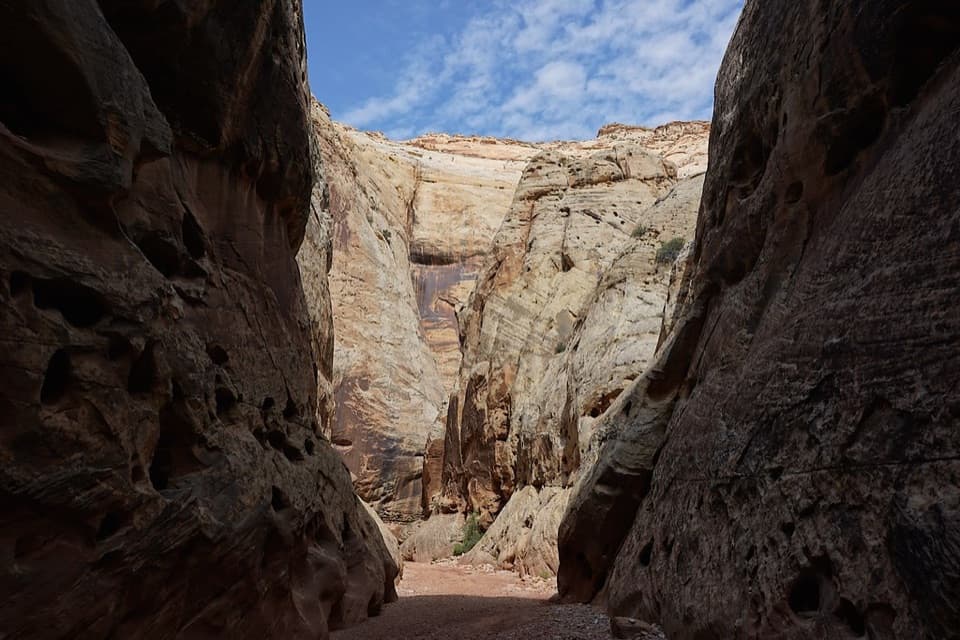
Burro Wash is a 6.8-mile out-and-back from the Notom–Bullfrog Road crossing to the chamber below an impassable pour-off and back. The published distance is 3.4 miles each way. The first miles are broad, sandy wash; farther in, the walls close into sandstone slots where chockstones require climbing and pools may mean deep wading or a short swim. This is a difficult, mostly unmarked route for experienced canyon hikers. It is a long day out, not a quick walk.
The mapped line measures about 3.06 miles one way and does not verify the precise terminal chamber. It ends roughly a third of a mile short of the published distance, so do not treat its endpoint as a confirmed turnaround.
The route starts among low hills and follows the wash west. At major wash junctions, stay left. After about two miles, the wash cuts into Navajo Sandstone and narrows. This is where the open approach gives way to the enclosed canyon; from here the footing and route-finding become more demanding. The first few miles cross BLM land before the route enters Capitol Reef.
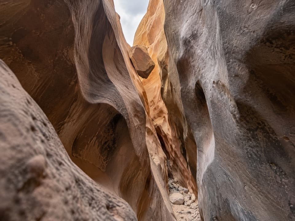
A narrow side wash on the right leads to a large chockstone, sometimes preceded by a pool. The route description gives a south-side slickrock bypass: backtrack about 20 yards, climb the slide, then follow the route around the ridge and down beyond the boulder. More chockstones and two shoulder-width narrows follow. Near the usual 3.4-mile turnaround, two large boulders and sometimes a cold pool lead into the last narrows. A large chamber below the impassable pour-off is where most hikers turn back. Beyond it, the steep north-wall bypass is loose and severely exposed; the continuation is for technical canyon climbers, not part of this hike. In the narrows, a wedged boulder framed by both walls shows the scale of the route.
This is not a maintained trail. Cairns may be sparse or missing, so take a topographic map and be confident navigating the wash. Natural water is unreliable; bring what you need for the full day. Pools and obstacles change, and some pools can require swimming. Summer heat is extreme, and flash floods are a recurring danger, especially July through September; avoid the canyon whenever rain is possible. Spring and fall are the best seasons. Pets are not allowed on trails or in backcountry areas; an overnight trip requires a free backcountry permit.
Wildlife
 50 sightingsBighorn SheepMost seen around 6 PMSighting map
 322 sightingsMule DeerMost seen around 6 PMSighting map
 70 sightingsMarmotMost seen around 7 AMSighting map
 13 sightingsCottontail RabbitMost seen around 7 PMSighting map
 33 sightingsTurkeyMost seen around 6 AMSighting map
 14 sightingsRavenMost seen around 9 AMSighting map
Sighting maps show where each species has been reported across Capitol Reef. Wildlife moves, so no sighting is guaranteed.
Keep exploring
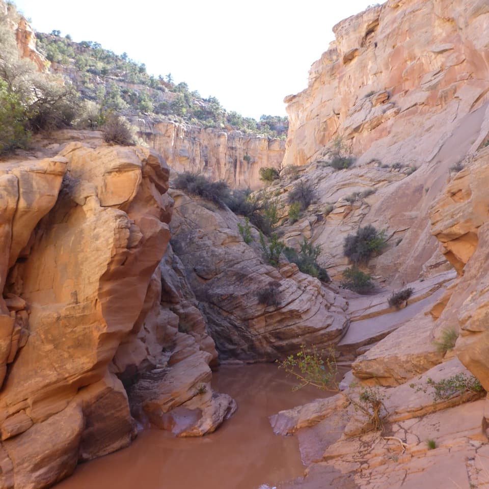 ChallengingCottonwood Wash6.6 mi · 5 hr · 1.1 mi awayA sandy wash gives way to scrambling and a 35-foot pour-off.
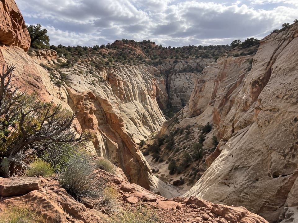 ModerateFive Mile Wash Trail4 mi · 3 hr · 2.1 mi awayA rough wash walk that tightens into pale sandstone narrows.
 EasyCapitol Gorge Trail2 mi · 1.5 hr · 4.5 mi awayFollow a sandy gorge to historic names and stone waterpockets.
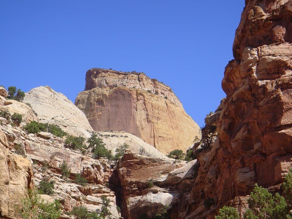 ChallengingGolden Throne Trail4 mi · 2.5 hr · 4.5 mi awayA strenuous climb to a knoll below Capitol Reef’s Golden Throne.
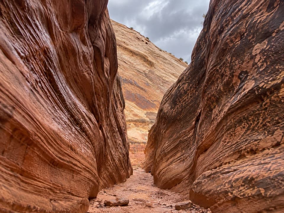 ChallengingSheets Gulch13.4 mi · 7 hr · 4.7 mi awayA long sandstone slot with chockstones and a cottonwood turnaround.
 ModerateLower Pleasant Creek6.8 mi · 4.5 hr · 4.7 mi awayA sandstone canyon walk that keeps sending you across the creek.
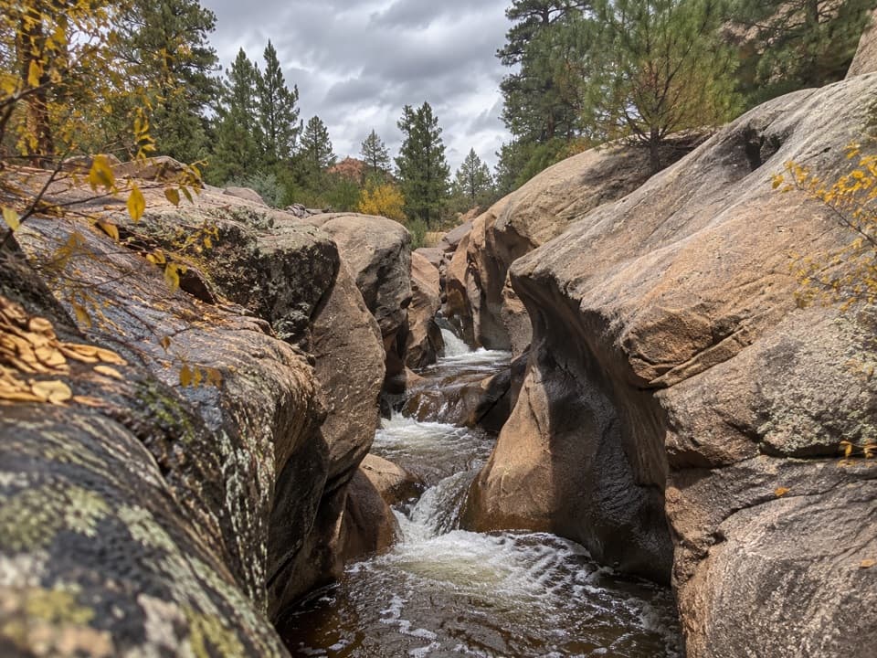 ModerateUpper Pleasant Creek Route7.6 mi · 5 hr · 4.7 mi awayWalk a narrowing creek canyon to cascades in pale sandstone.
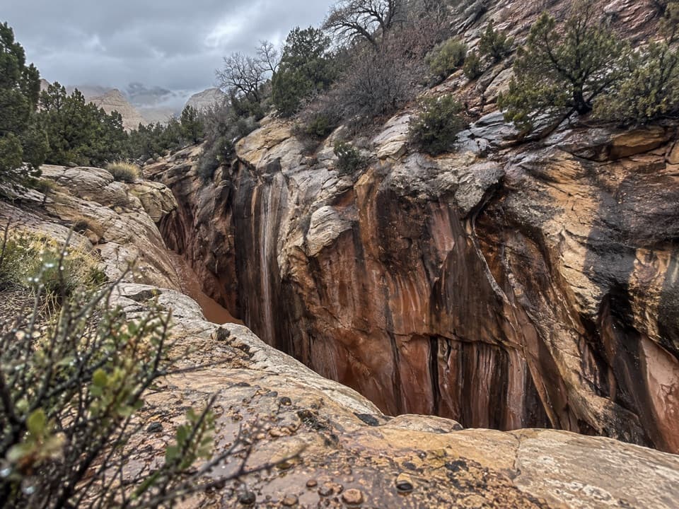 ChallengingAmerican Discovery Trail — Capitol Reef Section18.4 mi · 12 hr · 5.6 mi awayRemote canyon climb, narrows, and more than two dozen creek crossings.
 Sight · 4.1 mi awayThe TanksSmall rain-fed pools turn pale sandstone into living habitat.
 Sight · 4.3 mi awayPioneer RegisterTwo prospectors left their names here on September 20, 1871.
 Picnic area · 4.5 mi awayCapitol Gorge Picnic AreaA covered picnic stop at the start of a storied gorge walk.
 Sight · 5.5 mi awayGolden Throne ViewpointA four-mile hike to the sandstone dome above Capitol Gorge.
 Picnic area · 5.8 mi awayScenic Drive Picnic AreaA sheltered lunch stop at the end of the paved Scenic Drive.
 Scenic pullout · 7.3 mi awayCapitol Reef East Entrance WaysideA quick map stop before the 15-mile Highway 24 crossing.
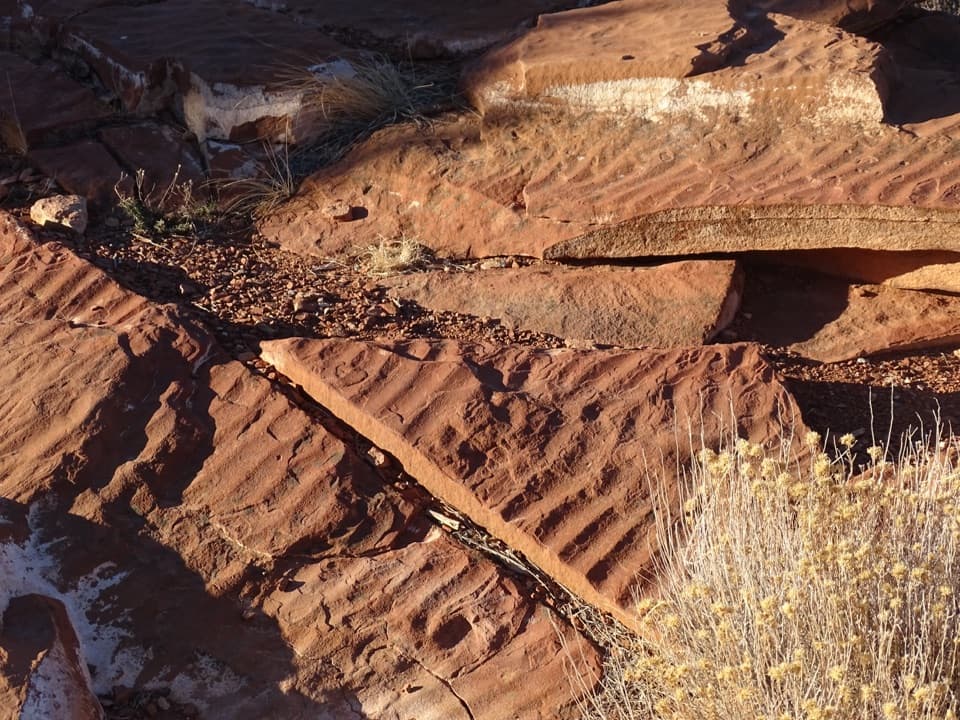 Sight · 7.5 mi awaySlickrock DivideA quick stop where ripple slabs sit on a drainage divide.
 Sight · 8.1 mi awayBehunin CabinA tiny cabin tells a surprisingly big pioneer story.
Parkwolf’s Capitol Reef ranking

The audio tour guide for the drive, plus offline maps, trails, and wildlife heatmaps for when the signal drops.