Best time to visit
Time your visit to the operator’s seasonal schedule and days with favorable marine conditions. Midday works well for beach lounging and a picnic, and crowds are generally light given the boat-only access and lack of facilities.
Beach · Channel Islands National Park
Tiny beach cove with quarry ruins and a shore boat landing
Overview
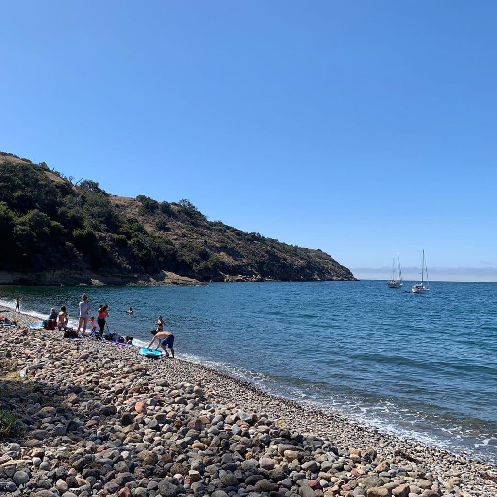
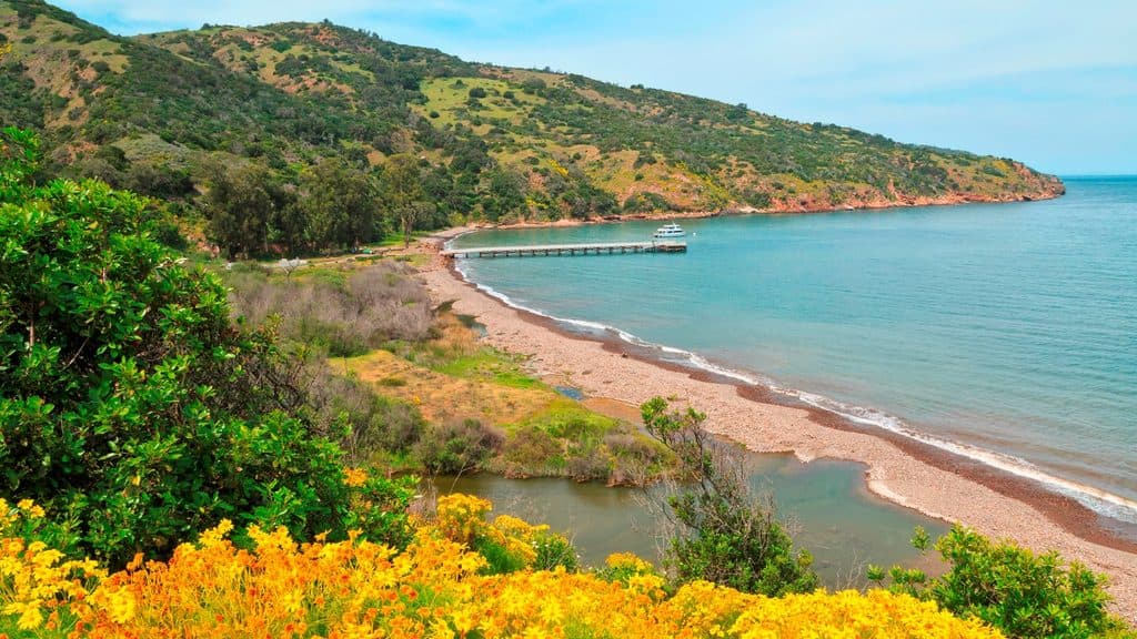
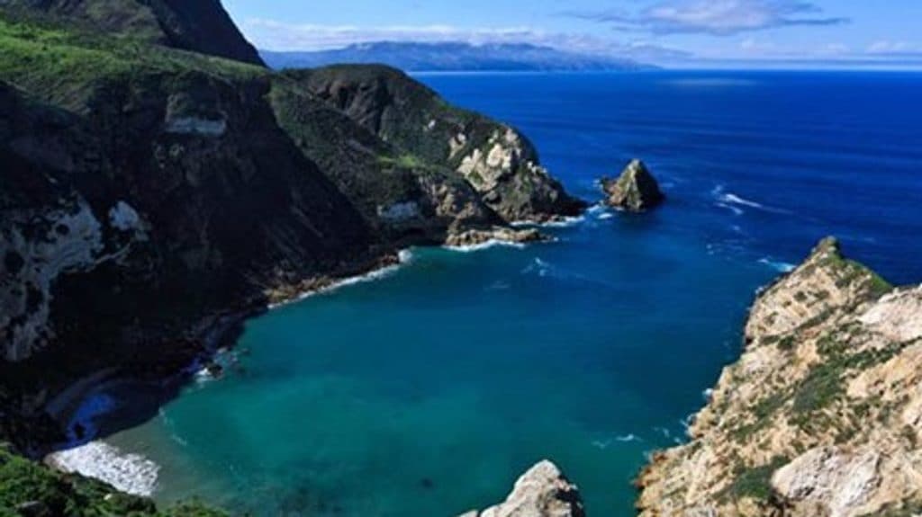
Tucked beneath steep slopes on the north coast of Santa Cruz Island, Fry's Harbor is a tiny, scenic cove with a small beach and a dramatic canyon backdrop. It’s quiet, raw, and feels worlds away—more of a mellow beach stop than a full-on hiking destination.
Map
Local know-how
Pack light and waterproof your essentials for the shore-boat landing.
Bring a full picnic, plenty of water, and sun protection—there’s no shade.
If boating, be ready for sudden canyon gusts and consider bow-and-stern anchoring.
A signed release from The Nature Conservancy is required to go ashore.
Expect only short exploring up the creek bed; there are no formal trails.
Plan your stop

The highest, rockiest slopes around here are a summer buffet for grizzly bears.
Channel Islands Tour Guide
Parkwolf is a GPS audio tour guide for Channel Islands National Park. As you drive, it chimes in with what’s ahead: hidden gems, upcoming stops, history, geology, and wildlife, right through your car’s speakers.
See the Channel Islands audio tourRecorded for this place
Frys Harbor: A Quiet North Coast Cove“The small cove you're approaching is Frys Harbor, one of the more quiet places on the island's north coast. This is really a mellow beach stop, perfect for a picnic on the cobbles.”
Plays as you drive up to Frys Harbor in the Parkwolf Channel Islands Tour Guide.
More stories near here in the app
“Fantastic app with many points of information… It’s great to just turn on while you’re driving and it gives you an audio tour of the national Park. We love it!!!!”


Guide
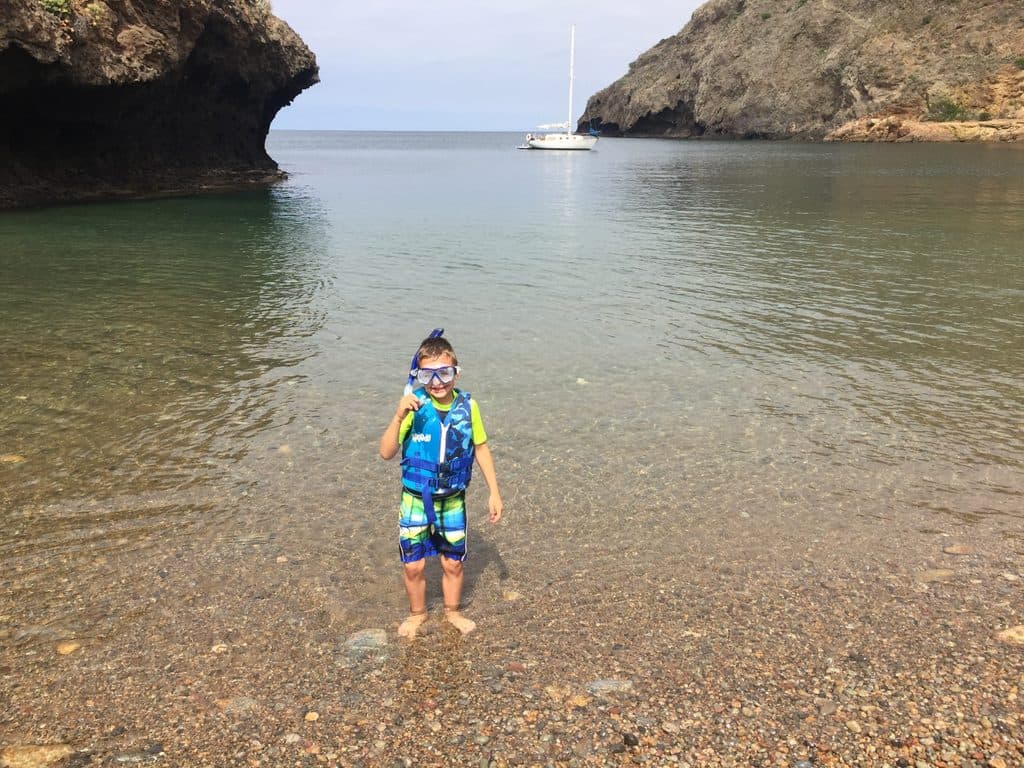
Plan on a low-key beach visit: spread out a picnic, wander the cobbles, and check out the remnants of an old quarry tucked near the canyon. On calm days, the clear water can be inviting for a swim or snorkel (there’s no lifeguard). If you arrive by private vessel, this is a classic protected nook to tuck into when westerlies are blowing.
There’s no formal trailhead and only limited walking up the canyon along the creek bed. Think short, exploratory scrambling rather than a real hike. Nearby sea caves and grottos are part of the broader coastline experience and are typically appreciated from the water.
Fry’s Harbor’s quarry history is still visible in scattered ruins near the beach. The cove itself sits in a canyoned notch with rugged volcanic and sedimentary cliffs—picturesque, compact, and very much a north-coast hideaway.
Although the cove is a well-regarded refuge from prevailing westerlies, canyon winds can suddenly pipe up and blow out of the ravine. If you’re anchoring, use prudent techniques (bow and stern) and keep an eye on shifting gusts.
Expect typical nearshore marine life—good motivation to bring a mask and snorkel when conditions cooperate. Along the creek, you may notice island flora during short, guided or self-led strolls up the watershed.
Wildlife
 2,232 sightingsIsland FoxMost seen around 6 PMSighting map
 282 sightingsHumpback WhaleMost seen around 9 AMSighting map
 79 sightingsBlue WhaleMost seen around 7 AMSighting map
 101 sightingsGrey WhaleMost seen around 8 AMSighting map
 364 sightingsCalifornia Sea LionMost seen around noonSighting map
 105 sightingsBald EagleMost seen around 5 PMSighting map
Sighting maps show where each species has been reported across Channel Islands. Wildlife moves, so no sighting is guaranteed.
Keep exploring
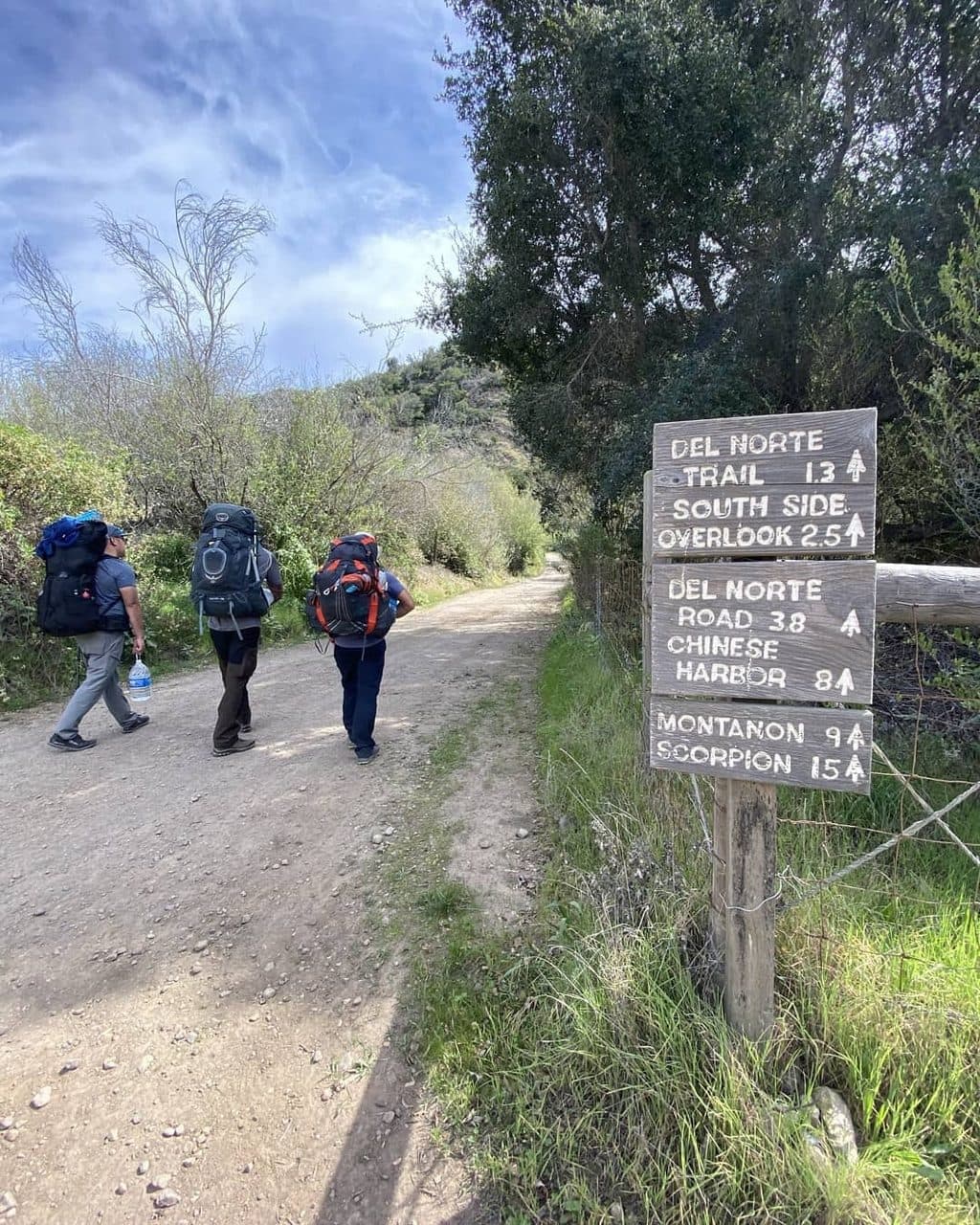 ChallengingDel Norte Trail7 mi · 5 hr · 4.6 mi awayStrenuous 7-mile round trip from Prisoners Harbor to Santa Cruz Island’s remote Del Norte Campground
 ChallengingPrisoners Harbor to Pelican Bay Trail4 mi · 3 hr · 4.7 mi awayGuided, rugged coastal hike from Prisoners Harbor toward restricted Pelican Bay
Parkwolf’s Channel Islands ranking

The audio tour guide for the drive, plus offline maps, trails, and wildlife heatmaps for when the signal drops.