Parking
No on-island car parking. Arrive by authorized boat or private vessel at the Prisoners Harbor landing; overnight camping at Del Norte requires an advance reservation.
Channel Islands National Park, CA
Strenuous 7-mile round trip from Prisoners Harbor to Santa Cruz Island’s remote Del Norte Campground
Overview
Del Norte Trail is the shortest route from Prisoners Harbor to Santa Cruz Island’s remote Del Norte Campground. The route follows an established gravel ranch road and signed trail through oak woodland, coastal sage scrub, canyons, and open ridges. It is a strenuous, remote hike with limited shade and no services along the route.
This is a strong choice for experienced hikers and backpackers seeking solitude, island scenery, and access to Santa Cruz Island’s only backcountry campground. The distance, initial climb, vehicle-used road, exposure, and self-supported logistics make it a demanding outing.
 Parkwolf’s verdictIs It Worth It?
Map & elevation
Plan your hike

The highest, rockiest slopes around here are a summer buffet for grizzly bears.
Channel Islands Tour Guide
Parkwolf is a GPS audio tour guide for Channel Islands National Park. As you drive, it chimes in with what’s ahead: hidden gems, upcoming stops, history, geology, and wildlife, right through your car’s speakers.
See the Channel Islands audio tourRecorded for this trailhead
Prisoners Harbor: Solitude, History, and Island Wildlife“You'll soon be at Prisoners Harbor, the quieter, more rustic landing on Santa Cruz Island.”
Plays as you drive up to this trailhead in the Parkwolf Channel Islands Tour Guide.
More stories near here in the app
“Fantastic app with many points of information… It’s great to just turn on while you’re driving and it gives you an audio tour of the national Park. We love it!!!!”


Trail guide
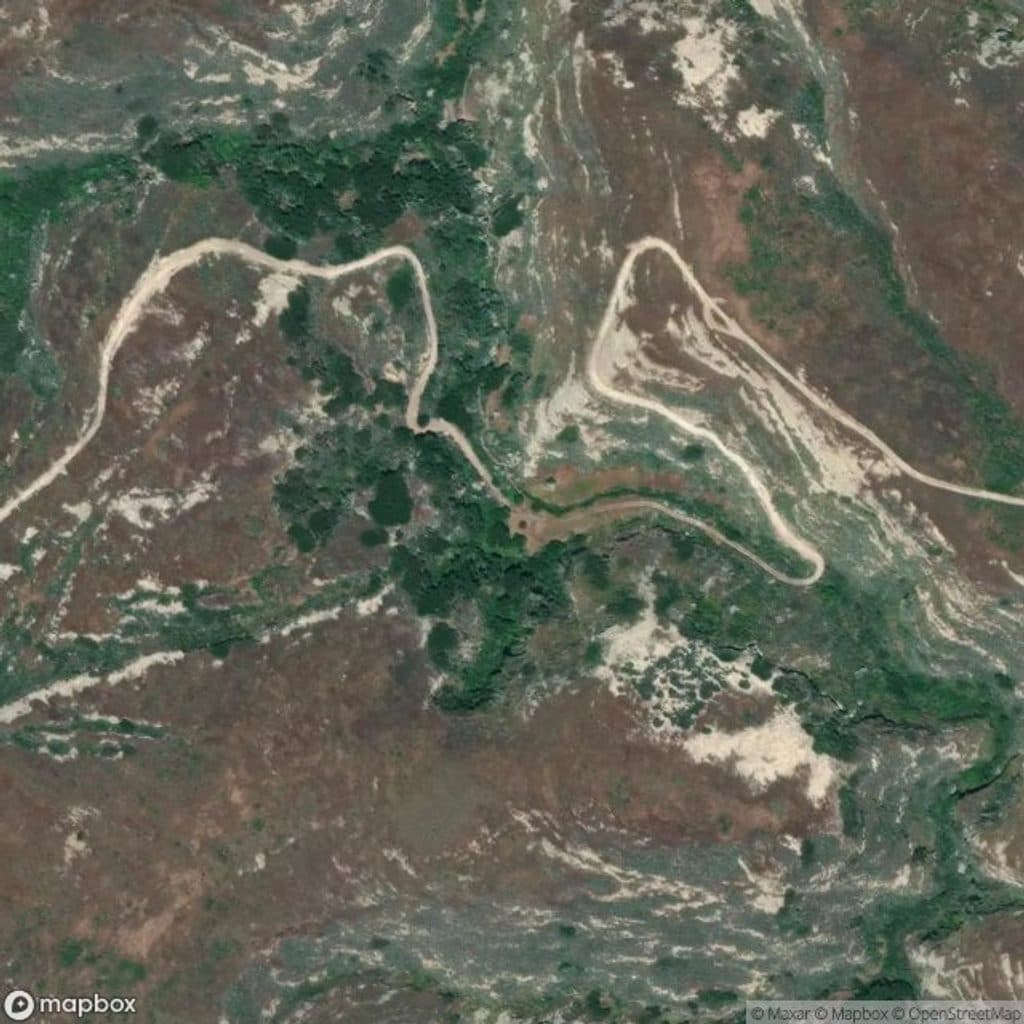
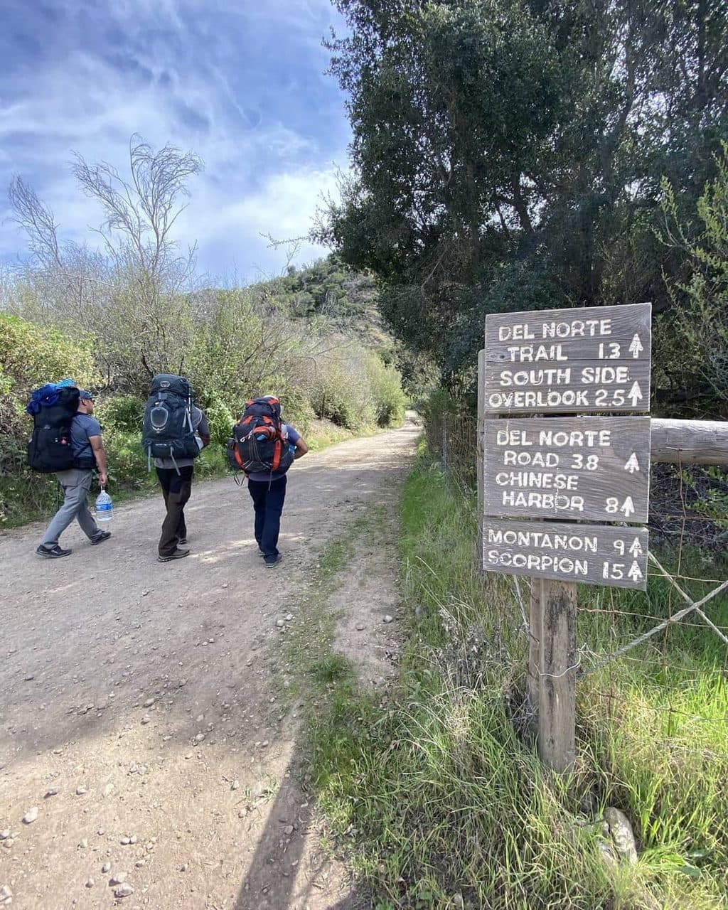
This is a 7-mile round trip (3.5 miles each way) from the Prisoners Harbor landing to Del Norte Campground. From the landing, follow Navy Road inland for about 1.5 miles and roughly 600 feet of climbing. At the signed junction, turn east/left onto Del Norte Trail and continue about 1.8 miles through Cañada del Agua and Cañada del Muro to Del Norte Road, then follow the campground approach for about 0.2 miles. The stored line represents the one-way corridor; the visitor distance and time are for hiking out and back.
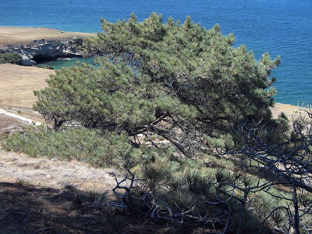
The route crosses island oak woodland, coastal sage scrub, canyons, and exposed ridges with broad coastal and south-side views. Del Norte Campground sits in a shaded oak grove and is the island’s remote backcountry camping destination.
The opening Navy Road section is gravel and is still used by vehicles, so walk attentively on blind curves. The interior trail is rugged and undulating, with uneven tread and exposed sections. In winter and spring, the creek crossing at Cañada del Puerto near Prisoners Harbor can be wet, fast-moving, and more than 2 feet deep. Carry all water: there is no water at the campground or reliably along the route; seasonal stream water, when present, must be treated before use.
Del Norte is a primitive campground with four sites, and overnight use requires an advance reservation. The island is accessible by authorized boat or private vessel only; there is no on-island car parking. Carry food, water, and all backpacking gear, pack out trash, and use no fires.
Wildlife
 2,232 sightingsIsland FoxMost seen around 6 PMSighting map
 282 sightingsHumpback WhaleMost seen around 9 AMSighting map
 79 sightingsBlue WhaleMost seen around 7 AMSighting map
 101 sightingsGrey WhaleMost seen around 8 AMSighting map
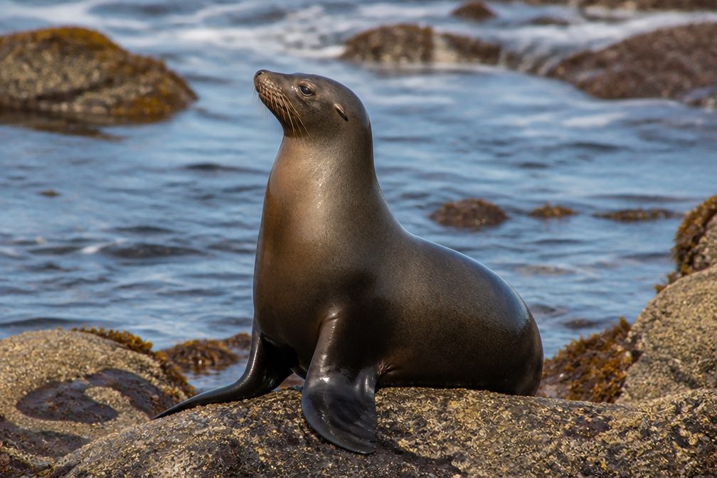 364 sightingsCalifornia Sea LionMost seen around noonSighting map
 105 sightingsBald EagleMost seen around 5 PMSighting map
Sighting maps show where each species has been reported across Channel Islands. Wildlife moves, so no sighting is guaranteed.
Keep exploring
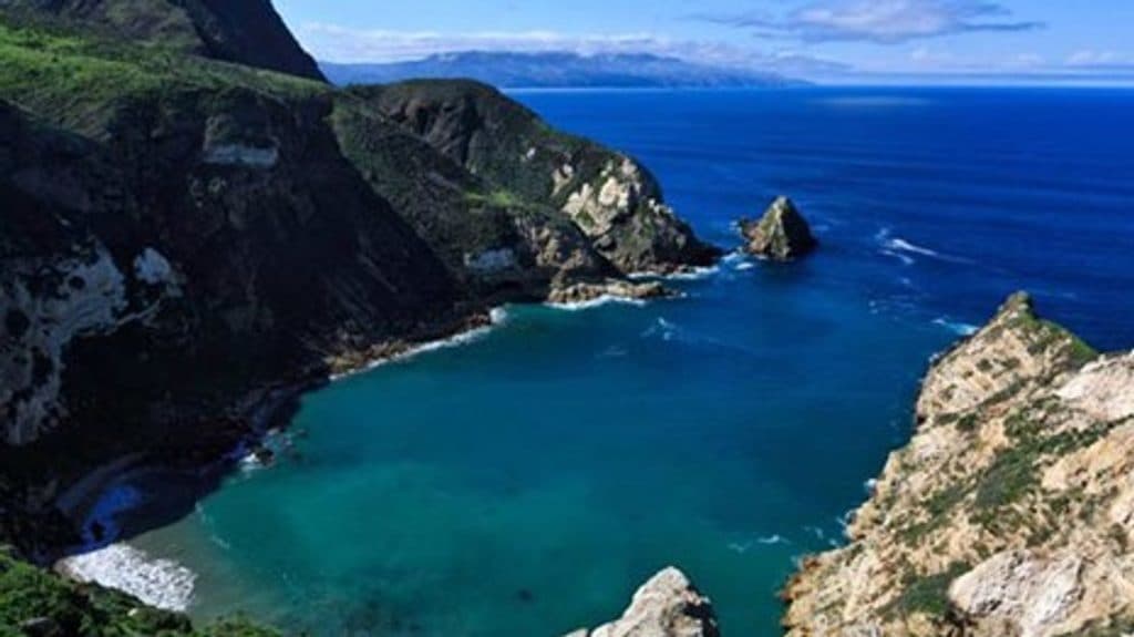 ChallengingPrisoners Harbor to Pelican Bay Trail4 mi · 3 hr · 0.1 mi awayGuided, rugged coastal hike from Prisoners Harbor toward restricted Pelican Bay
 ModerateCavern Point Loop2 mi · 1.3 hr · 7.2 mi awayShort bluff-top loop from Scorpion Ranch with huge ocean views and a steep start
 ModeratePotato Harbor Trail5.2 mi · 2.8 hr · 7.4 mi awayA moderate 5.2-mile coastal out-and-back from Scorpion Anchorage to a clifftop view of Potato Harbor
 ChallengingMontañon Ridge Trail10 mi · 6.5 hr · 7.6 mi awayA strenuous, exposed loop to Montañon Ridge with sweeping island and ocean views
 EasyScorpion Anchorage to Cavern Point2 mi · 1.5 hr · 7.6 mi awayA short coastal loop from Scorpion Anchorage to Cavern Point
 ModerateNorth Bluff Trail3.8 mi · 2 hr · 7.7 mi awayExposed coastal loop from Scorpion Anchorage via Cavern Point and North Bluff to Potato Harbor views
 ModerateBluff Trail (Santa Cruz Island)5 mi · 2.5 hr · 7.7 mi awayExposed island bluffs leading from Scorpion Beach to Potato Harbor
 ModerateScorpion Canyon Loop Trail4.5 mi · 2.5 hr · 7.7 mi awayClockwise 4.5-mile island loop from Scorpion Anchorage with coastal views, an historic oil well, and endemic wildlife
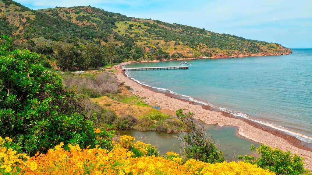 Sight · At the trailheadPrisoners HarborQuiet island landing with history, wetlands, and trailheads
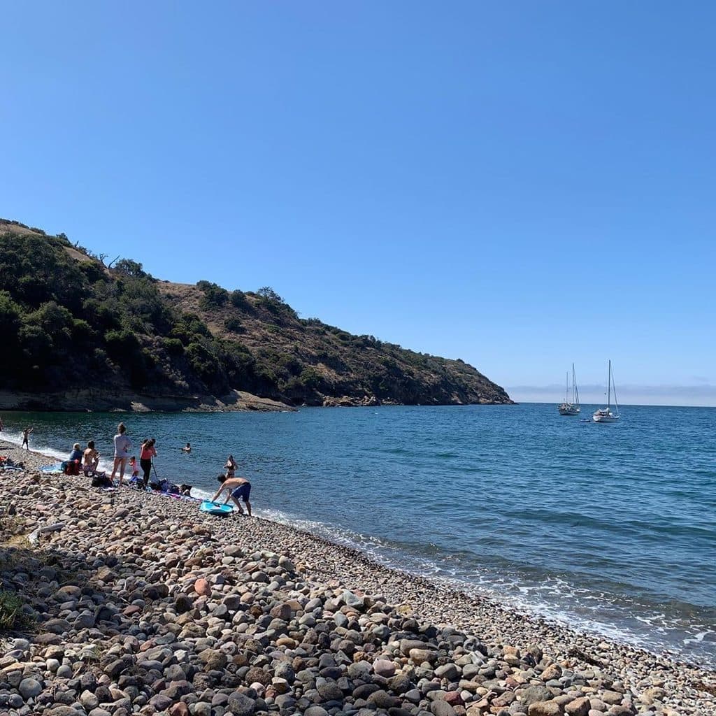 Beach · 0.5 mi awayPelican BayGuided hike to a quiet, pebble cove on Santa Cruz’s north shore
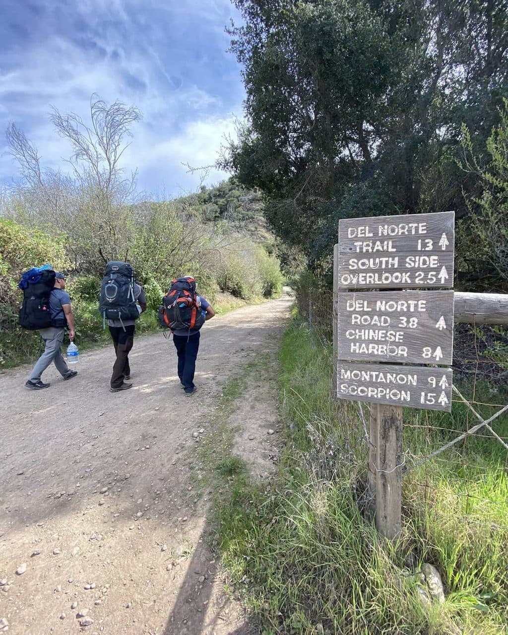 Campground · 1.6 mi awayDel Norte CampgroundRemote ridge-top sites with big views and real solitude
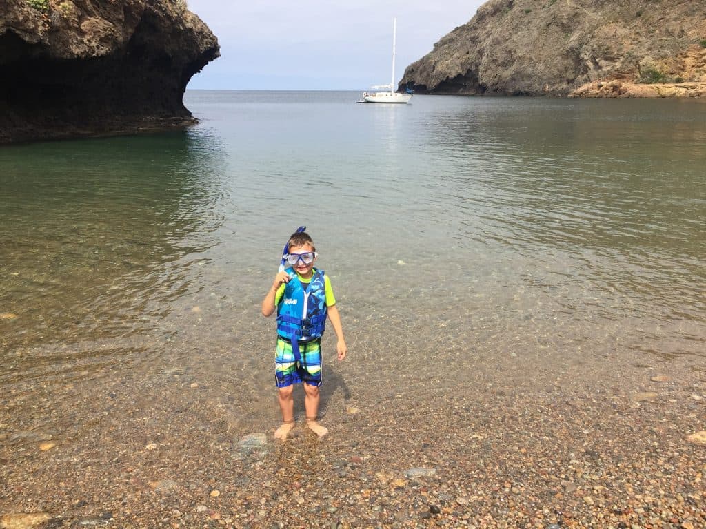 Beach · 4.6 mi awayFrys HarborTiny beach cove with quarry ruins and a shore boat landing
 Sight · 4.7 mi awaySanta Cruz IslandThe island for hikes, foxes, and sea-cave adventure
 Sight · 5.6 mi awayPotato Harbor OverlookClifftop window onto a turquoise, potato-shaped cove
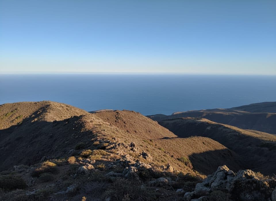 Sight · 6.3 mi awayMontañon PeakHighest accessible island summit with big 360-degree views
 Campground · 6.9 mi awayUpper Scorpion CampgroundSheltered island basecamp with water spigots, beach access, and fox cameos
Parkwolf’s Channel Islands ranking
The audio tour guide for the drive, plus offline maps, trails, and wildlife heatmaps for when the signal drops.