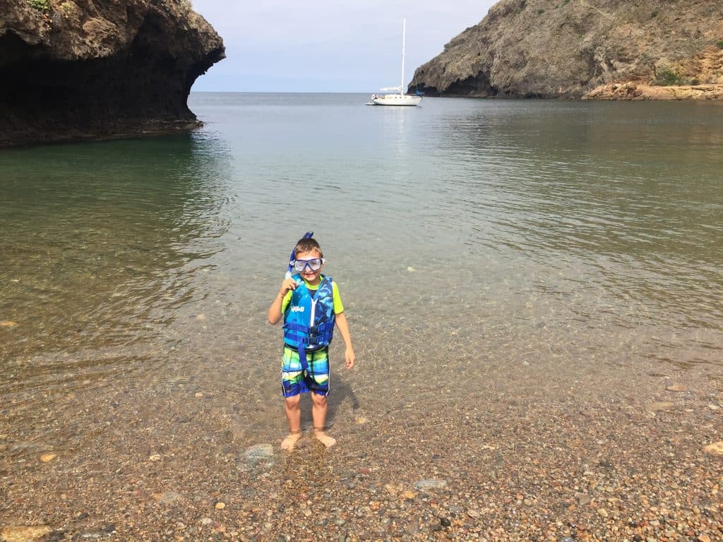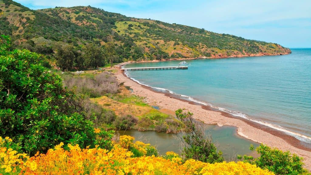
Prisoners Harbor in Channel Islands National Park

Sight · Channel Islands National Park

Prisoners Harbor

Quiet island landing with history, wetlands, and trailheads

Photo: National Park Service
Type
Sight
Nearest trail
Right here
Audio stories
3 nearby
  • Trailhead
  • Restrooms
  • Picnic tables

Hear the audio tour

Prisoners Harbor: Solitude, History, and Island Wildlife

Overview

About Prisoners Harbor

Prisoners Harbor is the north-shore landing on Santa Cruz Island that feels blissfully remote—quieter and less busy than Scorpion. It straddles the boundary between National Park Service land and The Nature Conservancy, so pay attention to signs. Expect a boat landing and, at lower tides, a short ladder climb up to the dock.

Why stop

  • Quieter, more secluded landing with wetlands and coastal scenery
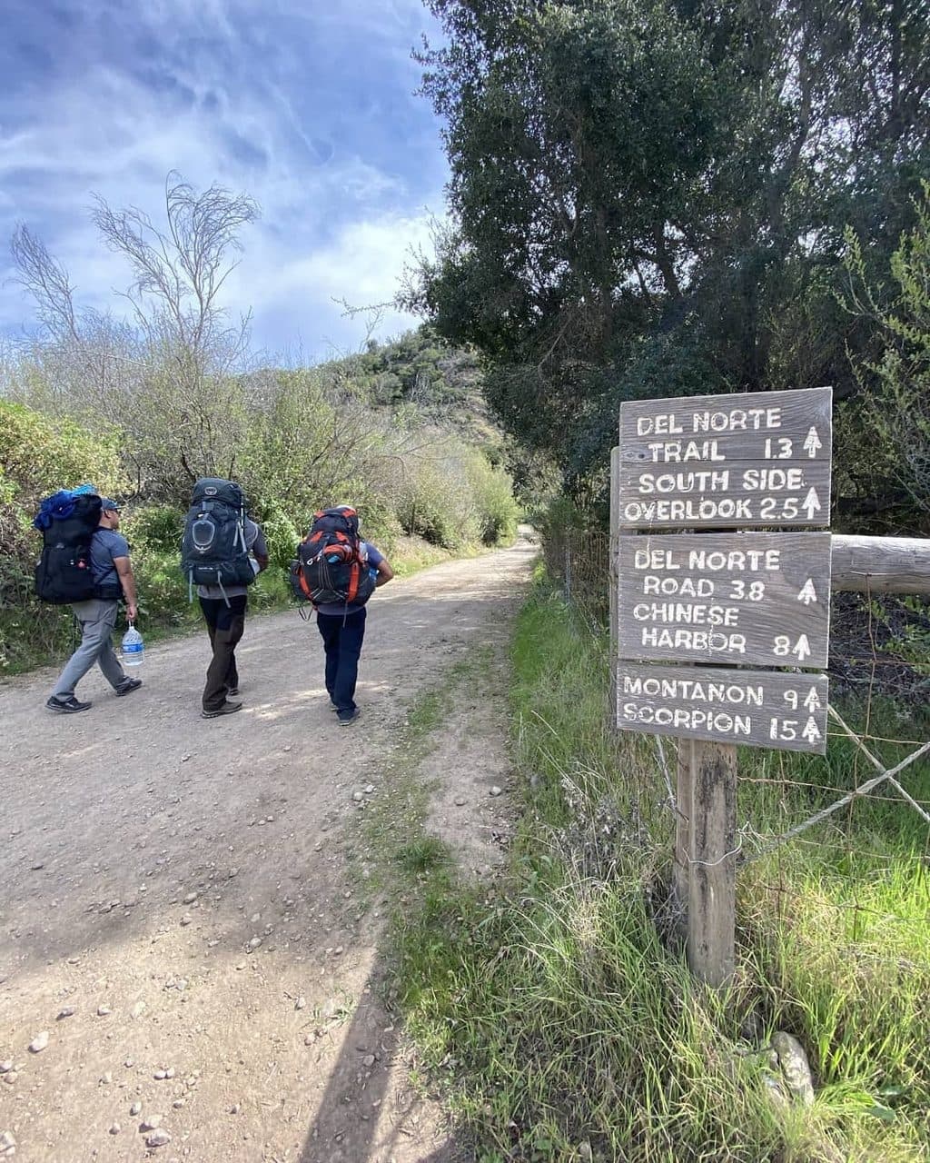
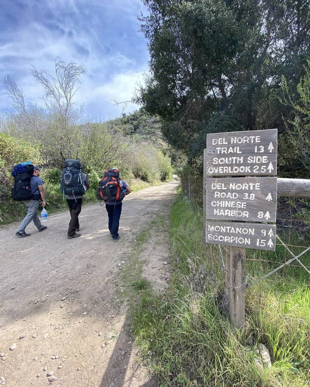
  • Direct access to Pelican Bay Trail and Del Norte backcountry

Heads up

  • No potable water or services on site
  • Limited facilities and fewer day-hike options
If you crave solitude, wildlife, and a wilder slice of Santa Cruz Island, Prisoners Harbor delivers. Just be ready for a self-sufficient day: limited trails, no taps, and no services—exactly why many people love it.
Parkwolf’s verdictIs It Worth It?

Map

Where it is

Loading the Channel Islands map
Full map
SightPrisoners Harbor34.02224, -119.68427
Keep this map with you offline in the Parkwolf app

Local know-how

Tips for visiting Prisoners Harbor

  1. Bring all your own water and food; none is available on site.

  2. At low tide, expect to climb a short ladder from the boat to the dock.

  3. Watch for The Nature Conservancy boundary signs; Pelican Bay access is typically via guided hikes.

  4. The short harbor walk can include a creek crossing up to about 2 feet when flowing.

  5. If arriving by private boat, note the anchorage is exposed under NE–NW winds.

Plan your stop

Before you go

Best time to visit

This landing stays calmer than the island’s busier spots most of the year. Aim for mornings or late afternoons for softer light in the wetlands and along the bluffs. Check marine forecasts—conditions are best when winds aren’t coming from the NE–NW sector—and mind the tide for both the dock ladder and the harbor creek crossing.

Amenities and Logistics

Facilities are minimal by design. You’ll find vault toilets near the beach landing and picnic tables near the pier (and another set uphill by the Del Norte trailhead). There’s no potable water, no food, no store, no WiFi, and no vehicle access or parking—bring everything you need and pack out your trash. Note that the harbor is generally sheltered, but it can be exposed when winds blow from the northeast through northwest.

3 active Channel Islands alerts

  • ClosureSanta Rosa Island wildfire-recovery closuresAvoid closed routes and shorelines on Santa Rosa Island during recovery from the 2026 wildfire.Official details
  • ClosureSanta Barbara Island dock closed; landings restrictedThe Santa Barbara Island dock is closed; landings are restricted to the adjacent rocky ledge. - Severe winter storm damage caused the closure, and repairs are not expected in the near future.Official details
See all 3 alerts
A park ranger sits on a dash-mounted phone, talking, as Parkwolf’s Tour Guide plays “Army Cutworm Moths: A Grizzly Bear Buffet” on Grand Loop Road below Dunraven Pass in Yellowstone
Parkwolf Tour GuideThe highest, rockiest slopes around here are a summer buffet for grizzly bears.

Channel Islands Tour Guide

Your drive to Prisoners Harbor, narrated.

Parkwolf is a GPS audio tour guide for Channel Islands National Park. As you drive, it chimes in with what’s ahead: hidden gems, upcoming stops, history, geology, and wildlife, right through your car’s speakers.

See the Channel Islands audio tour

Recorded for this place

Prisoners Harbor: Solitude, History, and Island Wildlife
Listen
“You'll soon be at Prisoners Harbor, the quieter, more rustic landing on Santa Cruz Island.”

Plays as you drive up to Prisoners Harbor in the Parkwolf Channel Islands Tour Guide.

More stories near here in the app

  • Guided Hike to Pelican Bay
  • Del Norte: A Remote Backcountry Campground
  • Frys Harbor: A Quiet North Coast Cove
  • An Introduction to Santa Cruz Island
  • 47 audio storiesacross Channel Islands’s roads, triggered by GPS as you drive
  • Wildlife heatmapsfor Island Fox, Humpback Whale, Blue Whale, and 13 more
  • Works offlinemaps, 31 trails, 49 places, and audio download before you lose signal
  • CarPlay readysimple controls built for the drive
★★★★★
“Fantastic app with many points of information… It’s great to just turn on while you’re driving and it gives you an audio tour of the national Park. We love it!!!!”
JMJamesApp Store review
Download Parkwolf on the App StoreGet Parkwolf on Google Play

4.7 from 8,600+ ratings

Guide

More about Prisoners Harbor

What You’ll SeeYou step into a rugged coastal scene: restored wetlands, eucalyptus-shaded picnic spots, rocky…

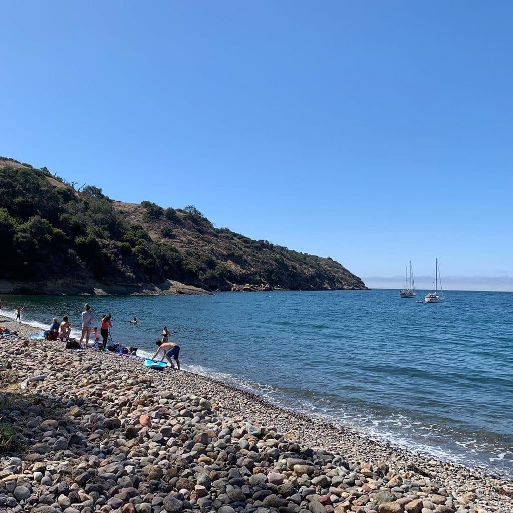
You step into a rugged coastal scene: restored wetlands, eucalyptus-shaded picnic spots, rocky beaches, oak and pine woodlands, and steep canyons. Wildlife-watchers come for endemic island specialties—keep an eye out for the brilliant Island Scrub-Jay and the small, curious Santa Cruz Island fox. On the water and during the crossing, there’s a chance to spot marine life, including whales.

Trails and Things to DoShort harbor walk: A 0.
  • Short harbor walk: A 0.5-mile round-trip leg-stretcher starts right at the landing and can include a creek crossing that runs up to about 2 feet when flowing.
  • Pelican Bay Trail: This coveted route on The Nature Conservancy side typically runs via guided access—check for offerings. It’s prized for its wild feel and coastal views.
  • Backcountry access: From the harbor, trails head inland toward the Del Norte backcountry area and its hike-in campground.
  • Paddling and snorkeling: The protected waters here can be ideal when conditions cooperate, though there are no guided kayak options based out of this landing.
History SnapshotThe name comes from an 1830 episode when a ship offloaded about thirty convicts here after…

The name comes from an 1830 episode when a ship offloaded about thirty convicts here after mainland presidios refused them. Long before that, this was a large Chumash village site, later woven into the island’s ranching and occasionally rowdy maritime past. In the 1880s, there was even an unrealized proposal to confine Apache prisoners here.

Geology and LandscapeVolcanic bedrock and time have carved a dramatic north-coast profile—rocky shorelines, deep-cut…

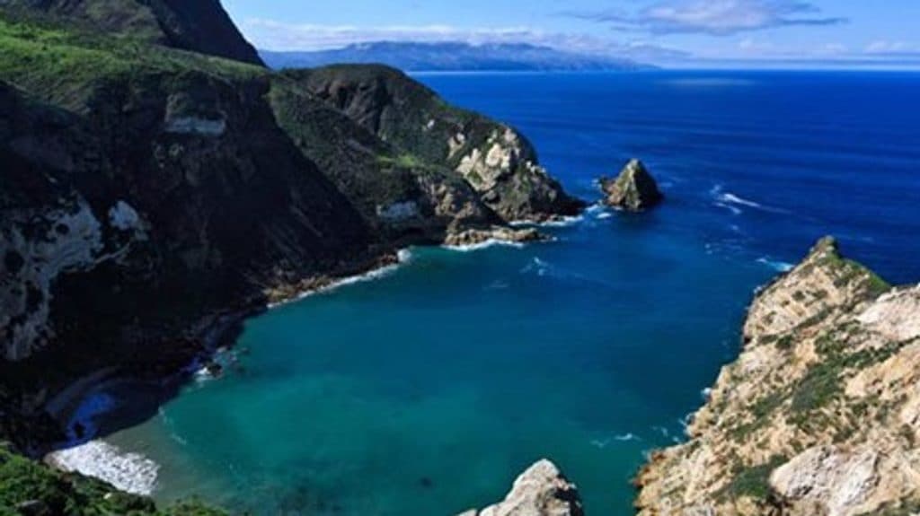
Volcanic bedrock and time have carved a dramatic north-coast profile—rocky shorelines, deep-cut canyons, and bluff-top views—making the harbor area feel both stark and alive.

Wildlife

Wildlife in Channel Islands

All Channel Islands wildlife maps

Sighting maps show where each species has been reported across Channel Islands. Wildlife moves, so no sighting is guaranteed.

Parkwolf’s Channel Islands ranking

Top sights in Channel Islands

All 49 places
  1. 1Inspiration PointSight
  2. 2Arch Rock (Anacapa Island)Sight
  3. 3Point BennettSight
  4. 4Santa Cruz IslandSight
  5. 5Scorpion AnchorageSight
  6. 6Potato Harbor OverlookSight

Take Parkwolf to Channel Islands.

The audio tour guide for the drive, plus offline maps, trails, and wildlife heatmaps for when the signal drops.

4.7 from 8,600+ ratings

Download Parkwolf on the App StoreGet Parkwolf on Google Play