Parking
There is no drive-up trailhead or parking on Santa Rosa Island. The standard start is Bechers Bay Pier, reached by boat; aircraft land at the Water Canyon airstrip about a mile away, so the listed distance assumes the pier.
Channel Islands National Park, CA
A rugged walk to a beach split by one large rock.
Overview
Map & elevation
Plan your hike

The highest, rockiest slopes around here are a summer buffet for grizzly bears.
Channel Islands Tour Guide
Parkwolf is a GPS audio tour guide for Channel Islands National Park. As you drive, it chimes in with what’s ahead: hidden gems, upcoming stops, history, geology, and wildlife, right through your car’s speakers.
See the Channel Islands audio tour“Fantastic app with many points of information… It’s great to just turn on while you’re driving and it gives you an audio tour of the national Park. We love it!!!!”


Trail guide
Ford Point via South (Wreck) Road is a remote out-and-back from Bechers Bay Pier across Santa Rosa Island to a south-coast beach. Published figures vary between 9 and 10 miles each way; the connected route measures just under 10, so plan for about 20 miles round trip and roughly 10 hours for walking and a stop at the beach. The roads are rugged and mountainous, signs are sparse, and this is a route for experienced, well-conditioned hikers. Arrange island transport that leaves enough time to walk out and back; this is not a short landing walk. If you want a much shorter walk, the 3.5-mile Cherry Canyon loop stays near Bechers Bay.
From the pier, the route joins the inland road network and follows South Road, also known as Wreck Road, toward the south coast. Most of the distance is over rough dirt road rather than a groomed hiking trail. Expect long climbs and descents across open, hilly ground, with limited signs at junctions. Download a topographic map before leaving the mainland; cell service and Wi-Fi are unreliable on the islands.
The Ford Point branch leaves South Road near Wreck Canyon. An old jeep road narrows to a single track and drops through a small ravine to the beach. Retrace that same corridor on the return; the route is an out-and-back, not a loop. Do not continue along the shore toward East Point: vertical cliffs interrupt the beach route between the two points.
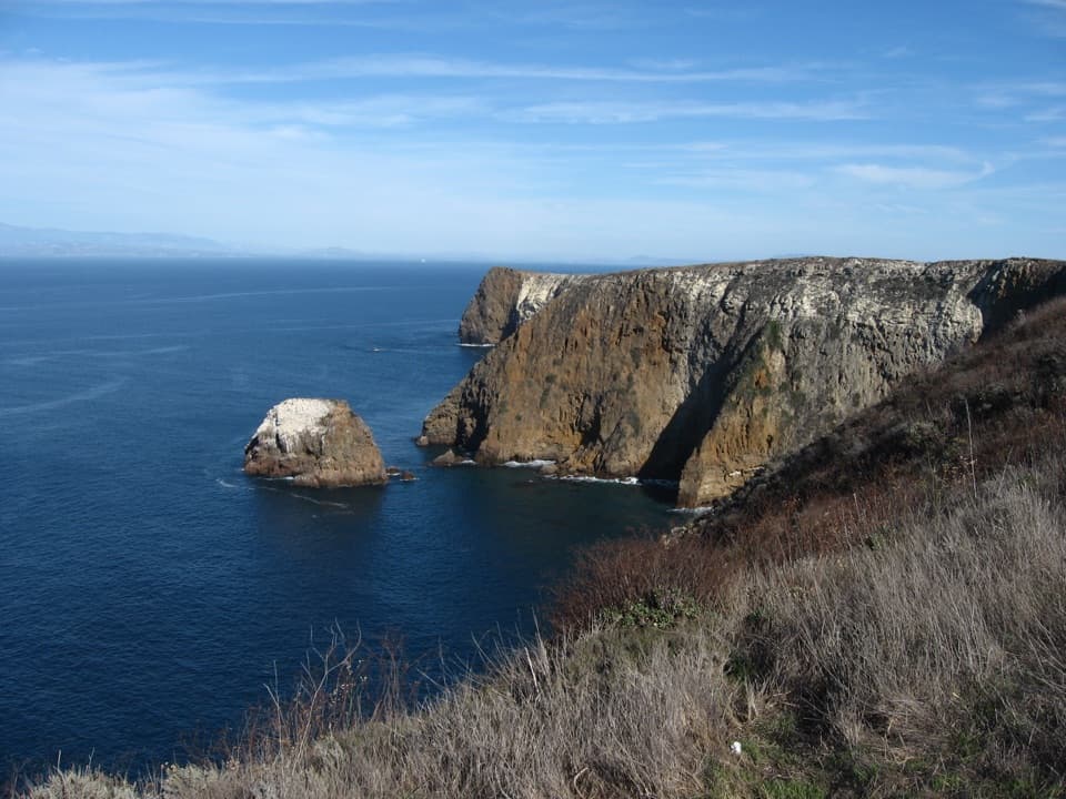
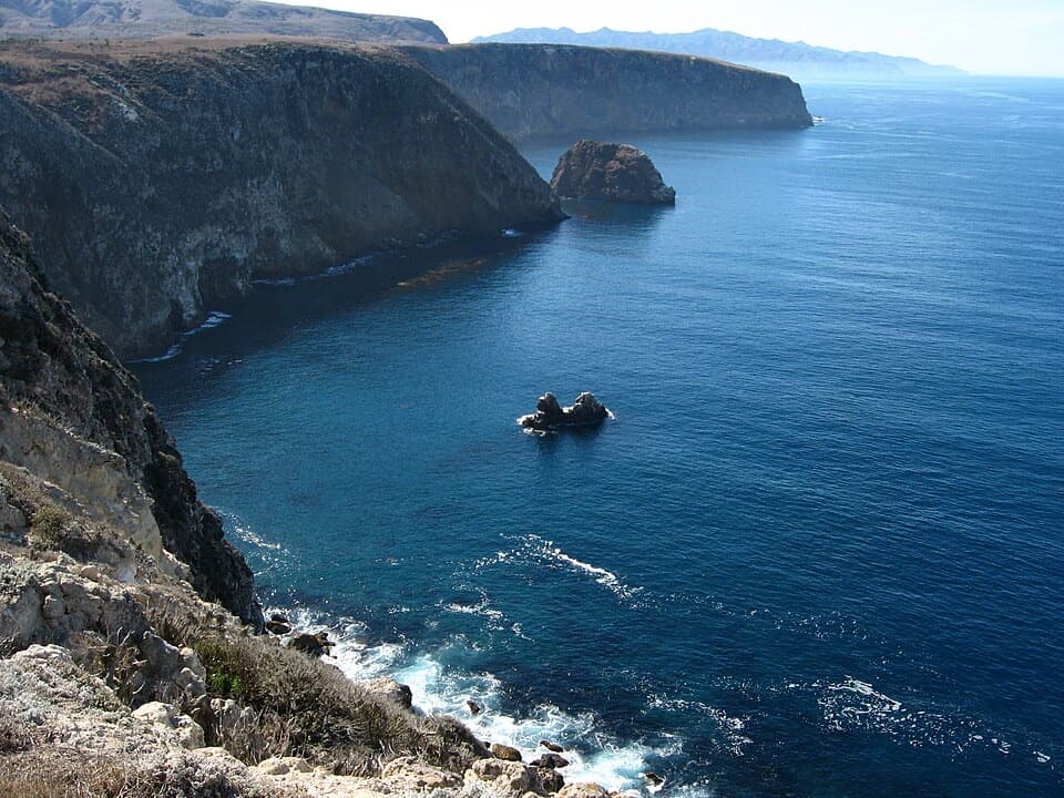
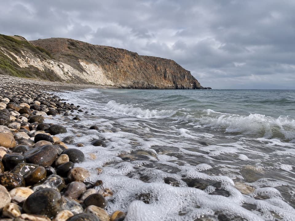
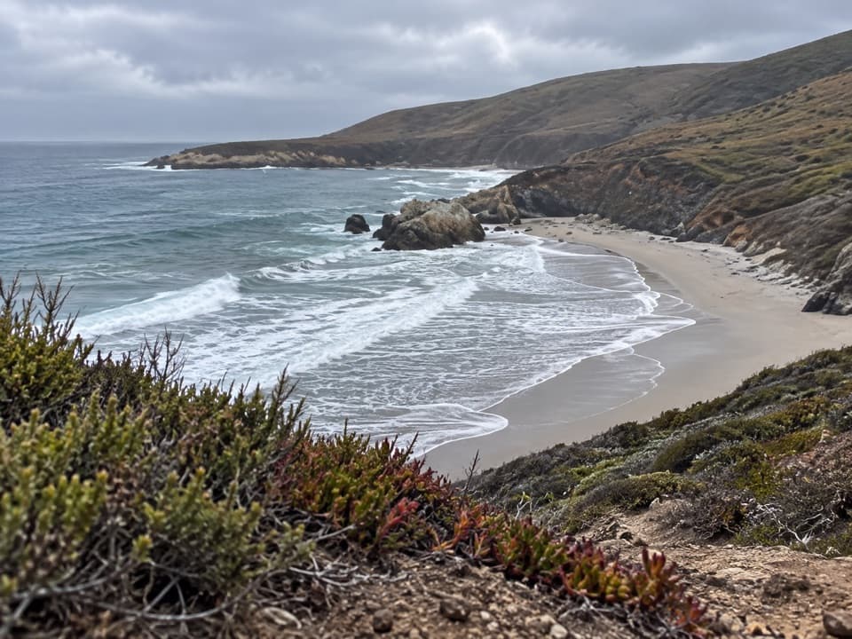
At Ford Point, a large rock outcrop splits the beach into two sandy sections. The coast opens east toward East Point and western Santa Cruz Island. From the bluff, include the rocky divide and both sections of beach in a photograph; it gives the view its scale and shape.
There is no dependable drinking-water tap along this route. Clapp Spring is about seven miles from the pier and roughly 0.6 mile off South Road; it is the only guaranteed natural source beyond Water Canyon Campground during backcountry season, and its water must be treated. Carry enough water for the full day rather than relying on a seasonal source. Strong northwest winds occur year-round, and summer fog can arrive with little warning. The trail is not suitable for pets; service animals require a superintendent permit.
Wildlife
 2,278 sightingsIsland FoxMost seen around 6 PMSighting map
 284 sightingsHumpback WhaleMost seen around 9 AMSighting map
 79 sightingsBlue WhaleMost seen around 7 AMSighting map
 102 sightingsGrey WhaleMost seen around 8 AMSighting map
 373 sightingsCalifornia Sea LionMost seen around noonSighting map
 106 sightingsBald EagleMost seen around 5 PMSighting map
Sighting maps show where each species has been reported across Channel Islands. Wildlife moves, so no sighting is guaranteed.
Keep exploring
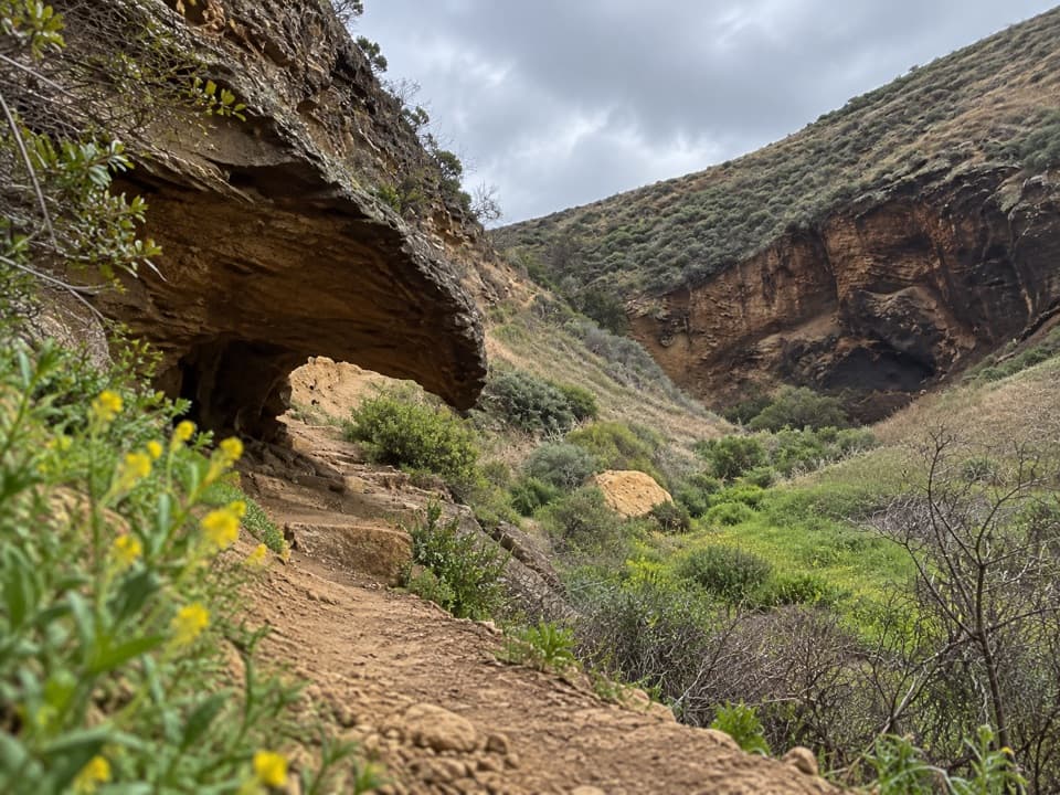 ChallengingLobo Canyon Hike9.6 mi · 6 hr · At the trailheadA long island road walk opens onto an unexpectedly lush canyon.
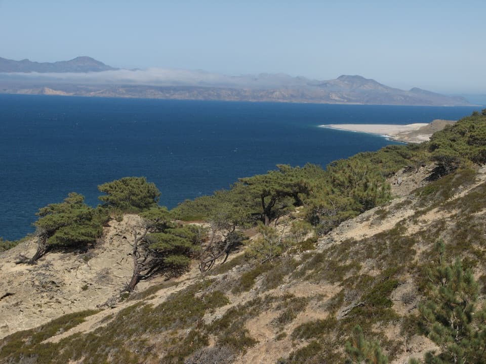 ChallengingTorrey Pines Loop Hike7.5 mi · 4.5 hr · At the trailheadA steep loop through a pine grove found only in two places.
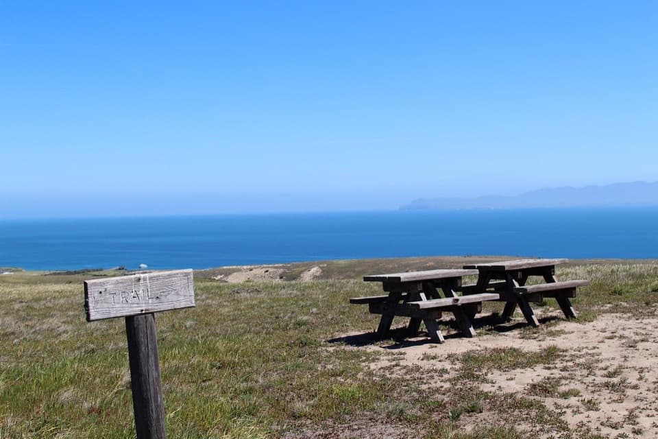 ModerateCherry Canyon Hike3.5 mi · 2.5 hr · At the trailheadA seasonal creek and switchbacks open onto a coastal terrace.
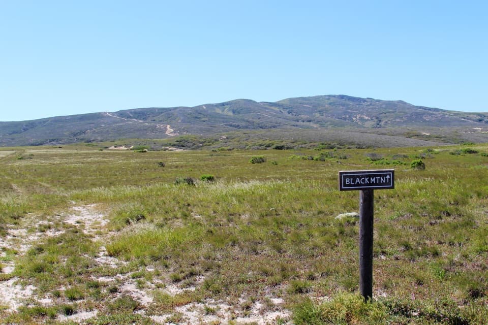 ChallengingBlack Mountain Hike8 mi · 4.5 hr · At the trailheadA steep island climb through oak woodland to broad summit views.
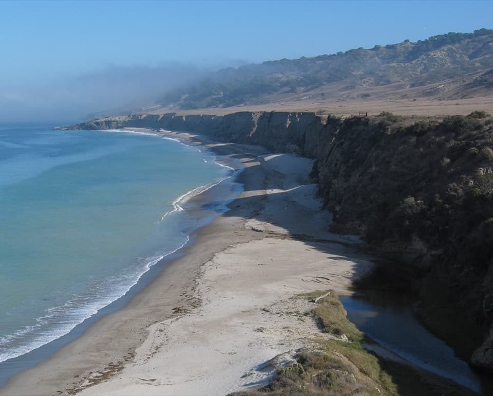 ModerateTorrey Pines Coastal Hike5 mi · 2.5 hr · At the trailheadA flat coastal road leads to a rare grove of Torrey pines.
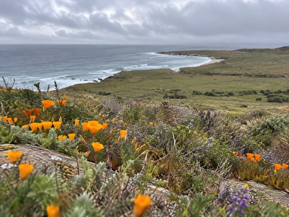 ChallengingEast Point Hike16 mi · 8.5 hr · At the trailheadA long coastal out-and-back to Santa Rosa’s remote eastern tip.
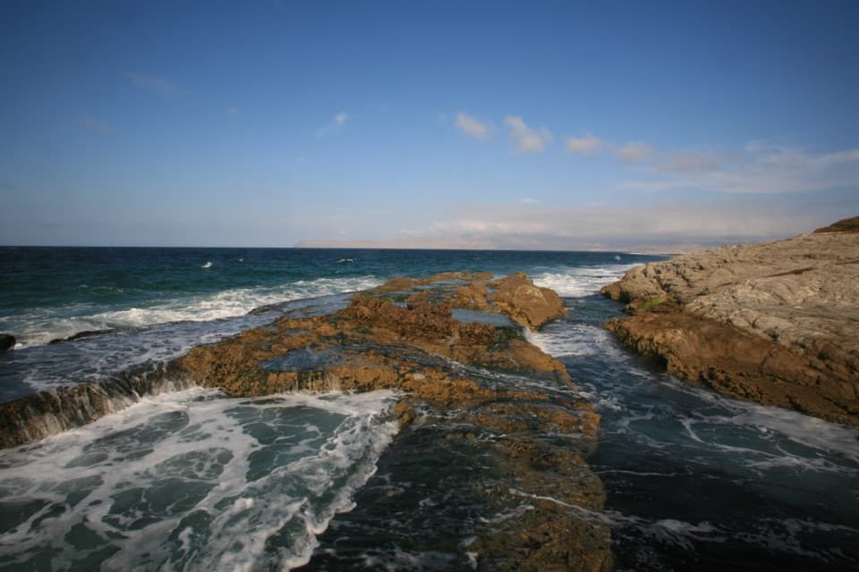 ChallengingSkunk Point Hike12 mi · 6.5 hr · At the trailheadA strenuous 12-mile out-and-back to tidepools and white sand.
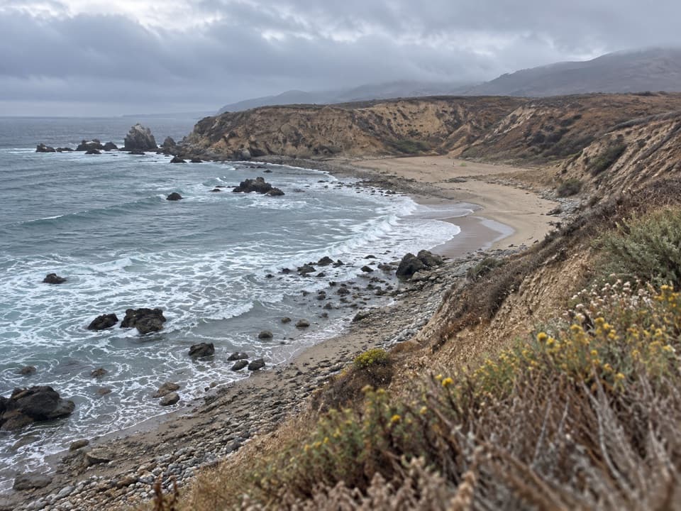 ChallengingLa Jolla Vieja via South (Wreck) Road22.4 mi · 15 hr · At the trailheadA remote beach at the end of a full island crossing.
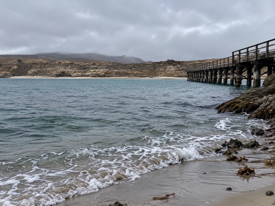 Sight · 0.1 mi awayBecher's Bay PierA boat landing with a century and a half of ranching history.
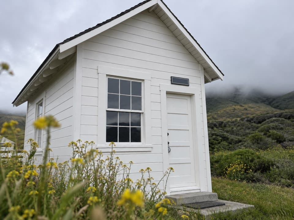 Sight · 0.2 mi awayVail & Vickers Cattle Ranch and SchoolhouseA level walk into Santa Rosa Island's cattle-ranch past.Beach · 1 mi awayWater Canyon BeachTwo miles of sand, reached by a three-mile island walk.
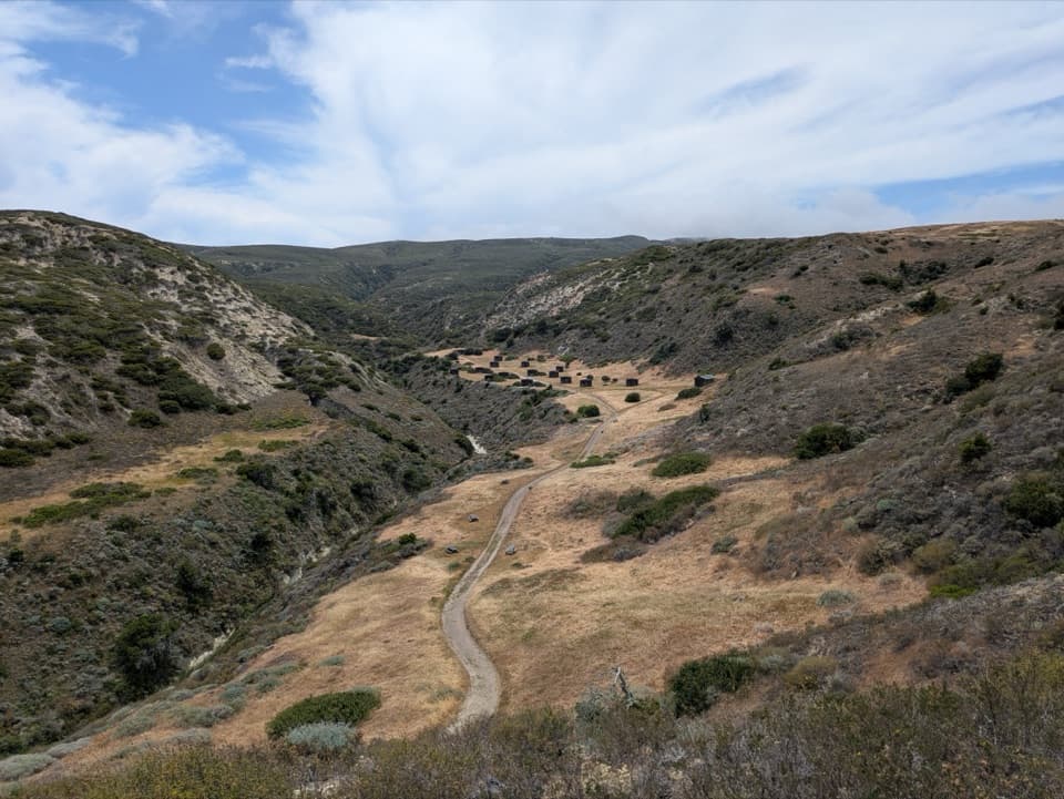 Campground · 1.2 mi awayWater Canyon CampgroundA windy 15-site camp with a 1.5-mile gear carry from the pier.
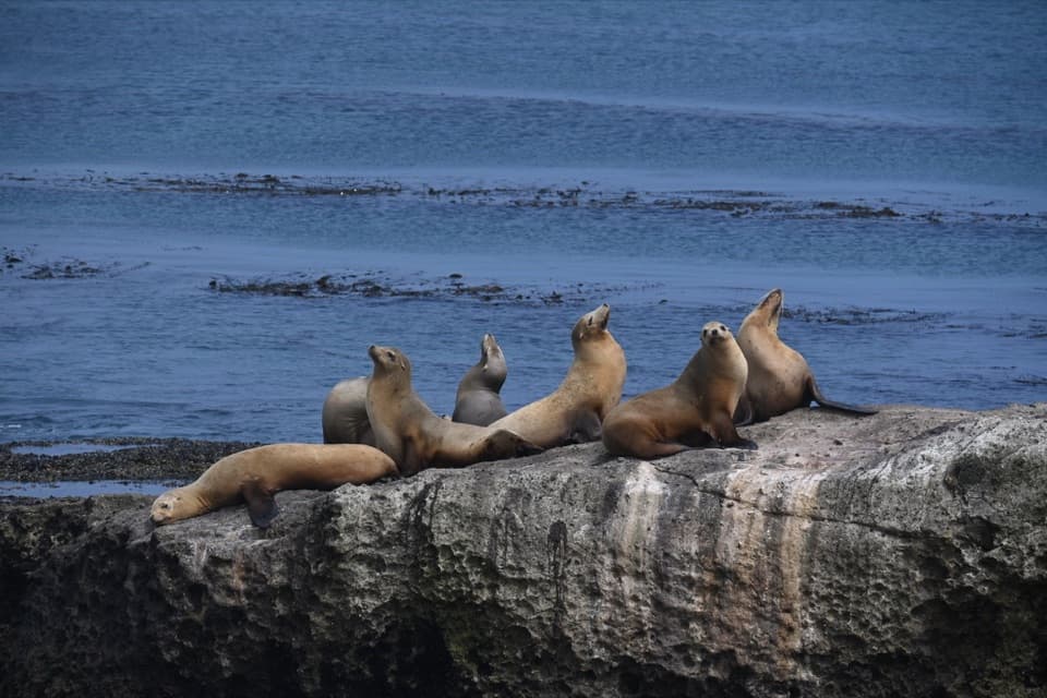 Sight · 1.7 mi awayCarrington PointSea lions and a pygmy-mammoth story beside a nearly 300-degree ocean view.
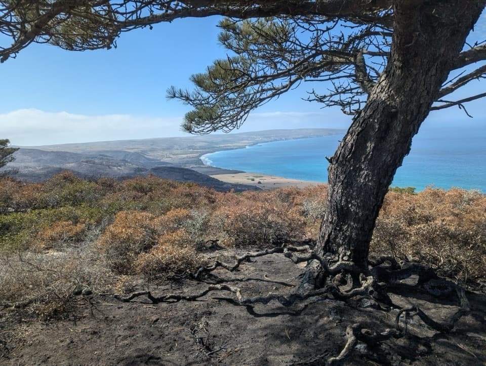 Sight · 2.3 mi awayTorrey Pines GroveOne of only two natural Torrey pine populations grows here.
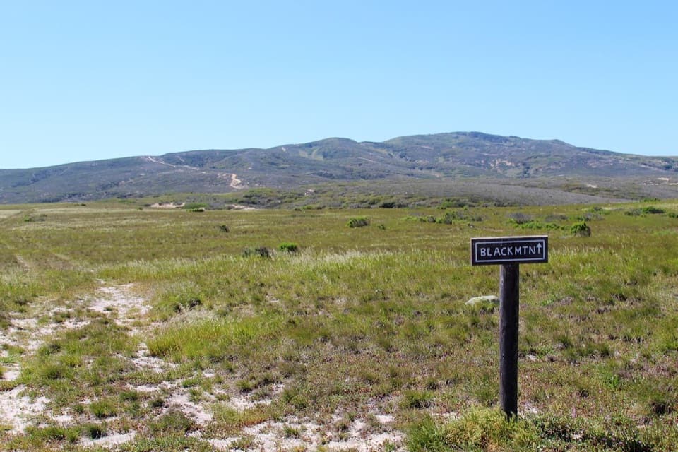 Sight · 2.7 mi awayBlack MountainA steep summit hike with island-wide views when the fog lifts.
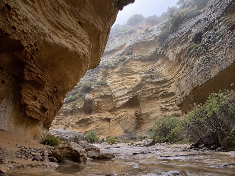 Sight · 3 mi awayLobo CanyonA green stream below honeycombed sandstone, after a long island hike.
Parkwolf’s Channel Islands ranking

The audio tour guide for the drive, plus offline maps, trails, and wildlife heatmaps for when the signal drops.