Water Canyon Beach in Channel Islands National Park

Beach · Channel Islands National Park

Water Canyon Beach

Remote 2-mile white-sand beach with wind and solitude

Photo: Wikimedia Commons
Type
Beach
Nearest trail
1.2 mi
Audio stories
6 nearby
  • Restrooms
  • Picnic tables
  • Campground

Hear the audio tour

Water Canyon Beach: A Remote Stretch of Sand

Overview

About Water Canyon Beach

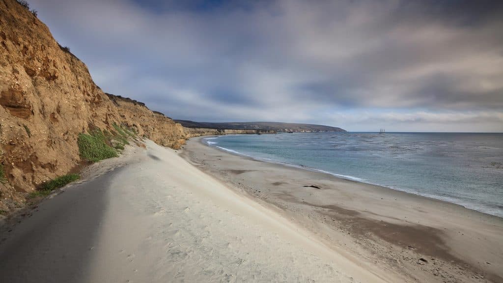
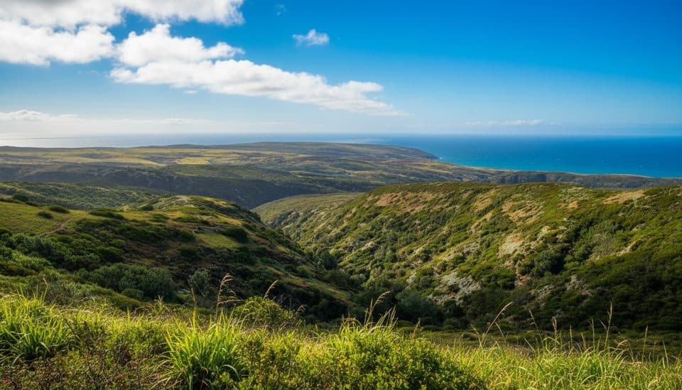
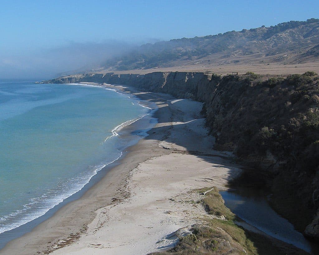
Water Canyon Beach is a remote, two-mile sweep of white sand on the northeast shore of Santa Rosa Island. It’s one of the island’s standout spots for solitude—broad, beautiful, and rarely busy thanks to strictly limited access.

Why stop

  • Long, white-sand beach ideal for quiet walks
  • Usually uncrowded and serene

Heads up

  • Frequent strong winds
  • No services; bring everything you need

Map

Where it is

Loading the Channel Islands map
Full map
BeachWater Canyon Beach33.99293, -120.03926
Keep this map with you offline in the Parkwolf app

Local know-how

Tips for visiting Water Canyon Beach

  1. Check the wind forecast and bring a windproof layer.

  2. Bring all food and supplies; there are no services on the island.

  3. Fill bottles at Water Canyon Campground; there’s no water on the beach.

  4. Plan your route with the tides—pier access from the sand needs a minus tide.

  5. Arrange boat or air transport well in advance.

Plan your stop

Before you go

Best time to visit

Anytime the wind forecast looks favorable is your moment. Crowds are minimal year-round due to limited access. If you hope to move between the beach and the pier from the sand, aim for a minus tide; otherwise, use the inland route. Weather can swing from foggy and cool to sunny in short order—dress for both.

Getting There

From Bechers Bay pier, it’s a relatively flat walk of roughly 1–1.5 miles through the historic ranch area and along a coastal terrace. It’s only about a quarter mile from the airstrip and Water Canyon Campground. Note that you generally can’t step from the beach onto the Bechers Bay pier unless tides are exceptionally low (a minus tide). The island is reached by boat or aircraft only; there are no public roads or drive-in options, and supplies aren’t available on-site.

3 active Channel Islands alerts

  • ClosureSanta Rosa Island wildfire-recovery closuresMentions Santa Rosa Island, referenced in this guideAvoid closed routes and shorelines on Santa Rosa Island during recovery from the 2026 wildfire.Official details
  • ClosureSanta Rosa access closures at Sandy Point and China CampMentions Santa Rosa, referenced in this guideFollow the closures and on-trail-only restrictions at Sandy Point and between China Camp and Cluster Point to protect island wildlife and sensitive resources.Official details
See all 3 alerts
A park ranger sits on a dash-mounted phone, talking, as Parkwolf’s Tour Guide plays “Army Cutworm Moths: A Grizzly Bear Buffet” on Grand Loop Road below Dunraven Pass in Yellowstone
Parkwolf Tour GuideThe highest, rockiest slopes around here are a summer buffet for grizzly bears.

Channel Islands Tour Guide

Your drive to Water Canyon Beach, narrated.

Parkwolf is a GPS audio tour guide for Channel Islands National Park. As you drive, it chimes in with what’s ahead: hidden gems, upcoming stops, history, geology, and wildlife, right through your car’s speakers.

See the Channel Islands audio tour

Recorded for this place

Water Canyon Beach: A Remote Stretch of Sand
Listen
“You're now getting close to Water Canyon Beach. It’s a huge, two-mile stretch of white sand, and one of the best places on the island to find a bit of solitude.”

Plays as you drive up to Water Canyon Beach in the Parkwolf Channel Islands Tour Guide.

More stories near here in the app

  • Santa Rosa Island's Water Canyon Campground
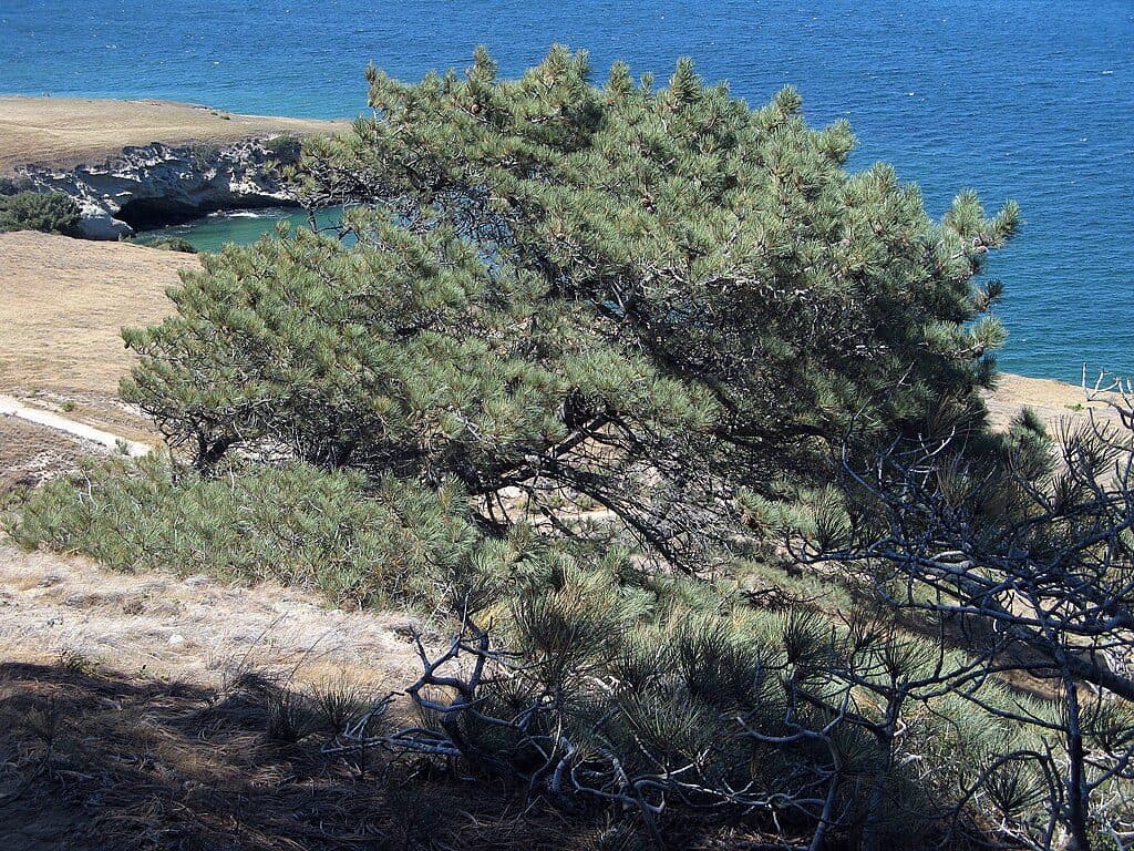
  • Torrey Pines Overlook: Viewing the Rare Grove
  • Trail Options from the Bechers Bay Pier
  • The Rare and Resilient Torrey Pines Grove
  • 47 audio storiesacross Channel Islands’s roads, triggered by GPS as you drive
  • Wildlife heatmapsfor Island Fox, Humpback Whale, Blue Whale, and 13 more
  • Works offlinemaps, 31 trails, 49 places, and audio download before you lose signal
  • CarPlay readysimple controls built for the drive
★★★★★
“Fantastic app with many points of information… It’s great to just turn on while you’re driving and it gives you an audio tour of the national Park. We love it!!!!”
JMJamesApp Store review
Download Parkwolf on the App StoreGet Parkwolf on Google Play

4.7 from 8,600+ ratings

Guide

More about Water Canyon Beach

What You’ll SeeExpect wide sands backed by low dunes and coastal bluffs, big ocean views, and on clear days,…

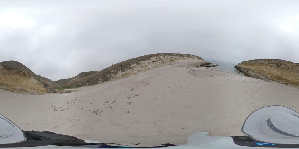
Expect wide sands backed by low dunes and coastal bluffs, big ocean views, and on clear days, sightlines to neighboring isles. The approach passes remnants of the island’s ranching past, and the area hosts distinctive island flora. Shorebirds and seabirds are common; you might glimpse marine mammals offshore.

Things to DoStroll and beachcomb along the two-mile shoreline
  • Stroll and beachcomb along the two-mile shoreline
  • Birdwatch from the sand or dunes edge
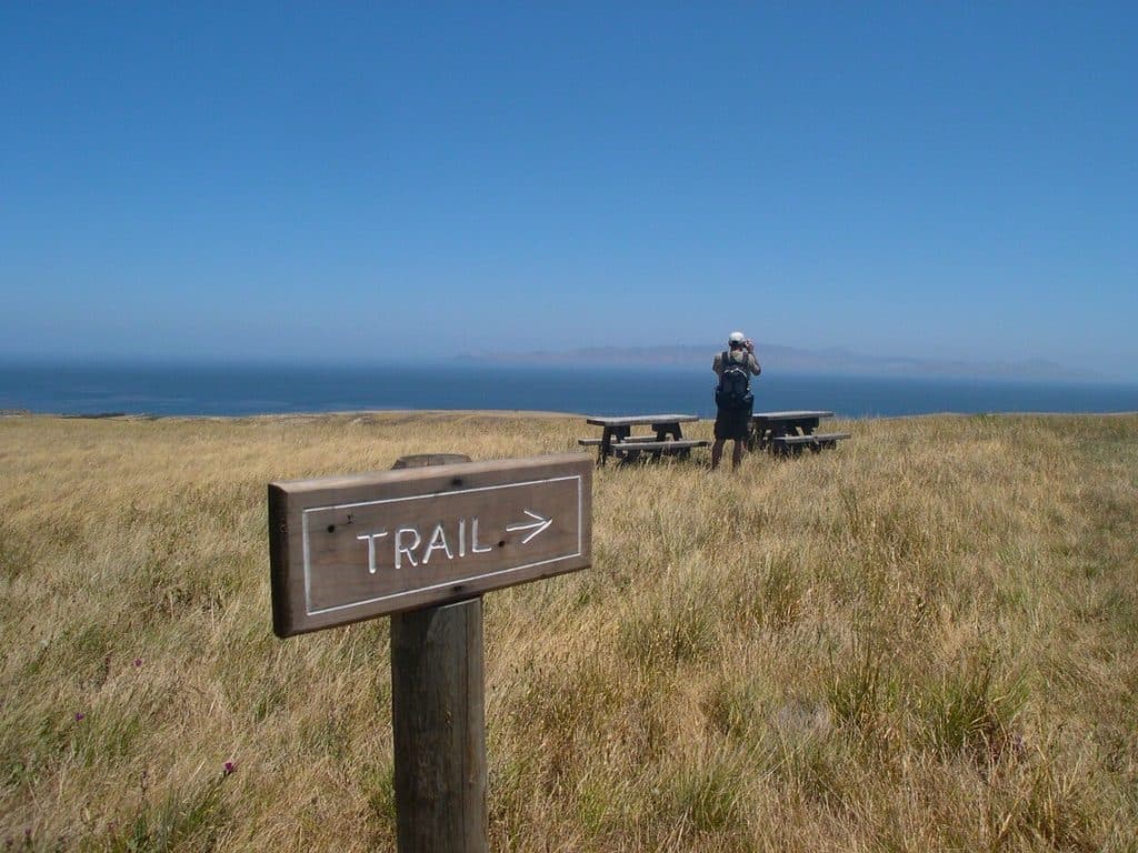
  • Picnic at tables near the airstrip road cut
  • When conditions allow, experienced visitors may wade or paddle; anglers can fish outside marine reserves (know the rules)
Conditions and SafetyWinds are the wildcard here—often strong and persistent, and they shape how enjoyable water…

Winds are the wildcard here—often strong and persistent, and they shape how enjoyable water activities will be. There’s no shade on the beach, and no stores or cell service. Pack layers, sun protection, and everything you’ll need for the day. Water and restrooms are at nearby Water Canyon Campground, not on the sand. Follow Leave No Trace and do not feed wildlife.

Logistics and AmenitiesYou’ll find restrooms and potable water at Water Canyon Campground just inland.

You’ll find restrooms and potable water at Water Canyon Campground just inland. Picnic tables sit near the main beach access by the airstrip road cut. There’s no parking, food, restaurant, Wi‑Fi, or store—come fully self-sufficient.

Wildlife

Wildlife in Channel Islands

All Channel Islands wildlife maps

Sighting maps show where each species has been reported across Channel Islands. Wildlife moves, so no sighting is guaranteed.

Keep exploring

Near Water Canyon Beach

See it all on the map

Trails nearby

More stops nearby

Parkwolf’s Channel Islands ranking

Top sights in Channel Islands

All 49 places
  1. 1Inspiration PointSight
  2. 2Arch Rock (Anacapa Island)Sight
  3. 3Point BennettSight
  4. 4Santa Cruz IslandSight
  5. 5Scorpion AnchorageSight
  6. 6Potato Harbor OverlookSight

Take Parkwolf to Channel Islands.

The audio tour guide for the drive, plus offline maps, trails, and wildlife heatmaps for when the signal drops.

4.7 from 8,600+ ratings

Download Parkwolf on the App StoreGet Parkwolf on Google Play