Becher's Bay Pier in Channel Islands National Park

Sight · Channel Islands National Park

Becher's Bay Pier

A boat landing with a century and a half of ranching history.

Type
Sight
Nearest trail
Right here
  • Scenic viewpoint
  • #18 of 62 sights

Overview

About Becher's Bay Pier

Why stop

  • A historic landing with a long pier over the bay.

Heads up

  • Boat transfer involves a climb to the pier.

Map

Where it is

Loading the Channel Islands map
Full map
SightBecher's Bay Pier34.00815, -120.04770
Keep this map with you offline in the Parkwolf app

Plan your stop

Before you go

2 active Channel Islands alerts

  • ClosureSanta Rosa Island wildfire-recovery closuresBurned areas on Santa Rosa Island remain closed during wildfire recovery, and Southeast Quadrant backcountry beach camping is closed for the remainder of the 2026 recreation season.Official details
  • InfoSanta Barbara Island dock closed; landings restrictedThe Santa Barbara Island dock is closed; land only on the adjacent rocky ledge.Official details

Channel Islands alerts
A park ranger sits on a dash-mounted phone, talking, as Parkwolf’s Tour Guide plays “Army Cutworm Moths: A Grizzly Bear Buffet” on Grand Loop Road below Dunraven Pass in Yellowstone
Parkwolf Tour GuideThe highest, rockiest slopes around here are a summer buffet for grizzly bears.

Channel Islands Tour Guide

Your drive to Becher's Bay Pier, narrated.

Parkwolf is a GPS audio tour guide for Channel Islands National Park. As you drive, it chimes in with what’s ahead: hidden gems, upcoming stops, history, geology, and wildlife, right through your car’s speakers.

See the Channel Islands audio tour
  • 16 audio storiesacross Channel Islands’s roads, triggered by GPS as you drive
  • Wildlife heatmapsfor Island Fox, Humpback Whale, Blue Whale, and 13 more
  • Works offlinemaps, 48 trails, 75 places, and audio download before you lose signal
  • CarPlay readysimple controls built for the drive
★★★★★
“Fantastic app with many points of information… It’s great to just turn on while you’re driving and it gives you an audio tour of the national Park. We love it!!!!”
JMJamesApp Store review
Download Parkwolf on the App StoreGet Parkwolf on Google Play

4.7 from 8,600+ ratings

Guide

More about Becher's Bay Pier

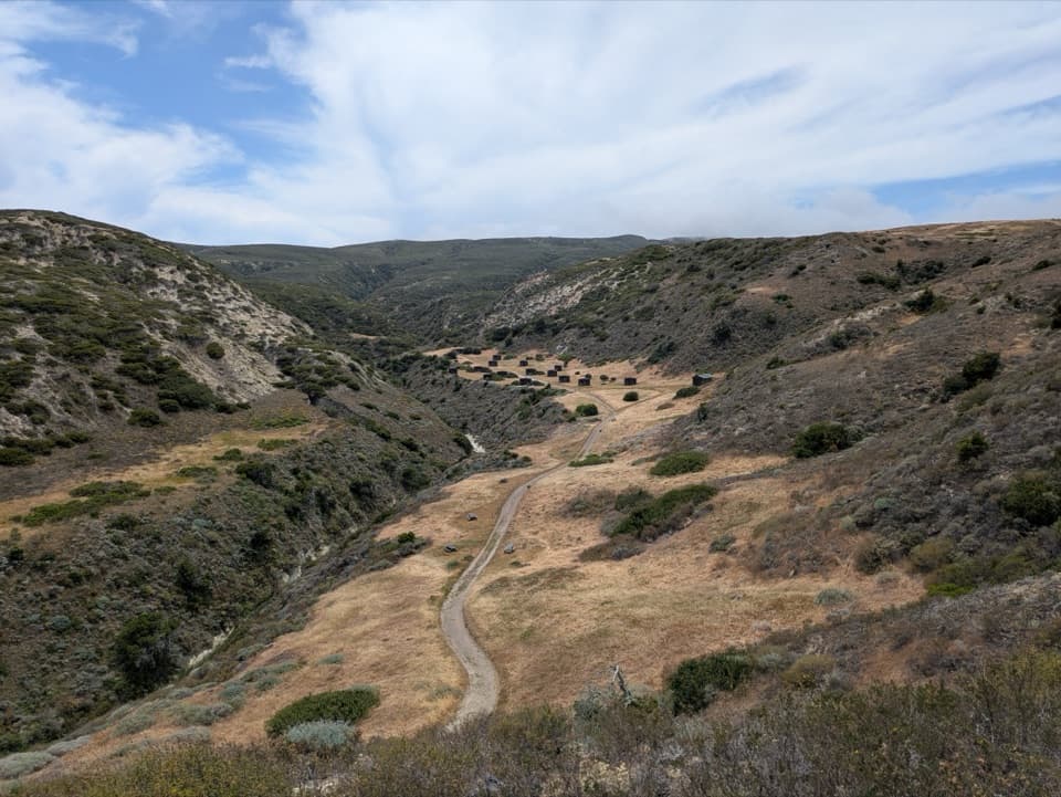
Santa Rosa's main landingBecher's Bay Pier is the island's main boat landing, a long timber pier reaching from a…

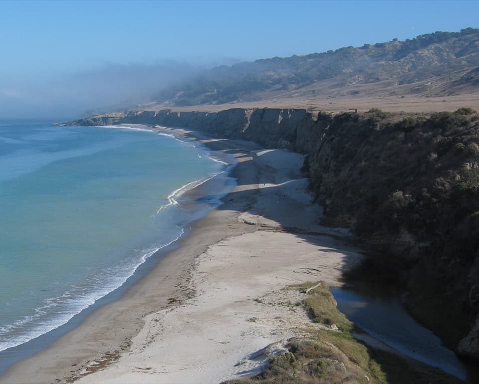
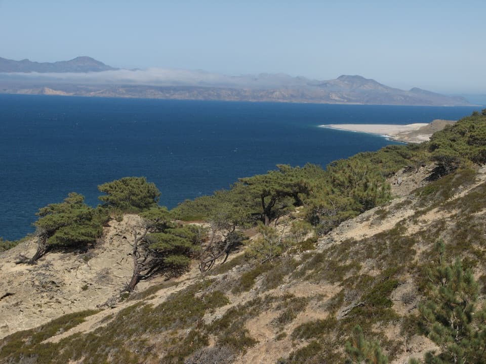
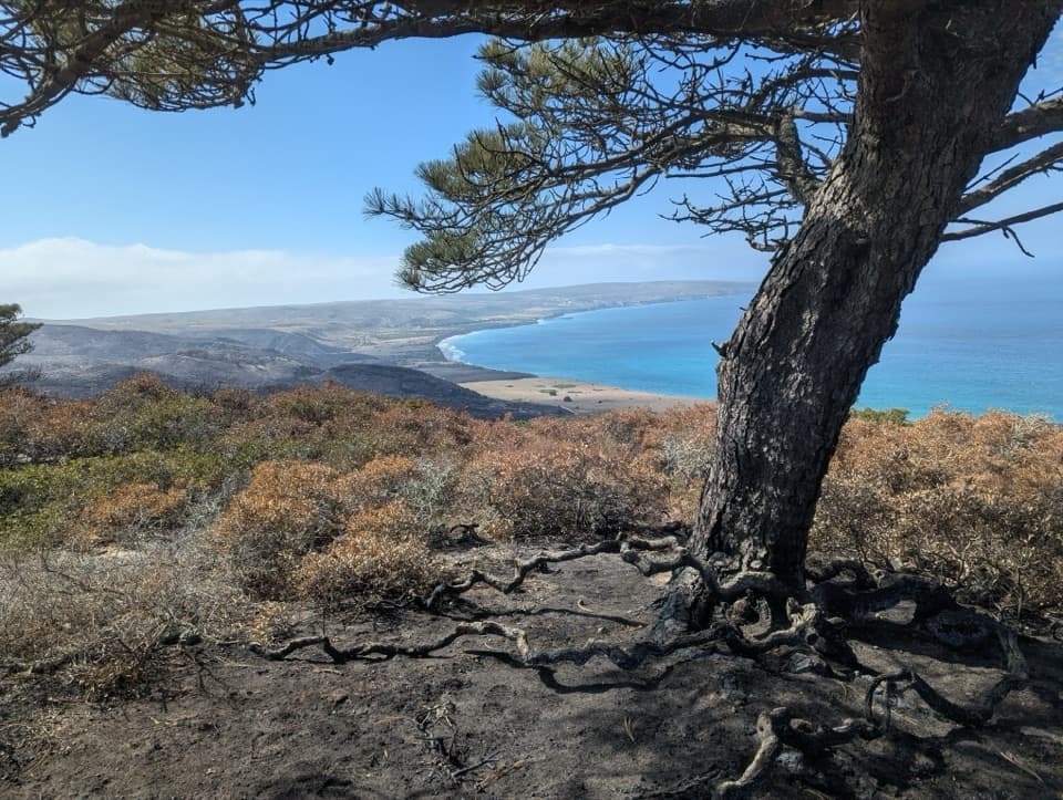
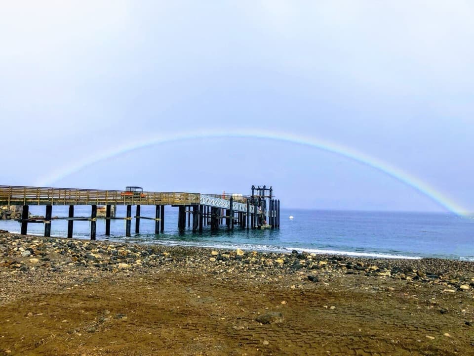
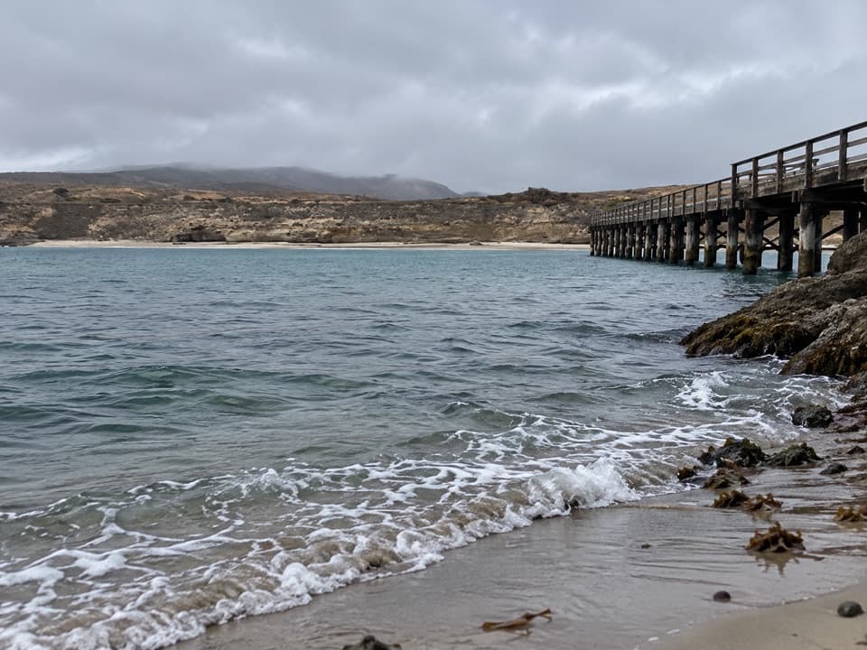
Becher's Bay Pier is the island's main boat landing, a long timber pier reaching from a white-sand shore into Becher's Bay. It's an arrival point rather than a drive-up overlook, and the bay is partly sheltered from strong northwest winds. Getting ashore involves a climb during the boat transfer; if that could be difficult, confirm the current setup with your operator before booking. From shore, include the pilings, beach and water in a view along the pier to show its scale.

A working pier with a long historySanta Rosa's ranchers relied on a pier here for nearly 150 years to ship cattle, sheep and…

Santa Rosa's ranchers relied on a pier here for nearly 150 years to ship cattle, sheep and supplies. Steamer captain George R. Barclay built the first one in 1859 for a $500 fee plus nearly $1,500 in materials; a storm destroyed it before the year ended. After a safety rehabilitation in 1987, the National Park Service completed a new pier on the previous footprint in 2012. The earlier pier was measured at about 572 feet long in 1984.

A difficult chapterIn 1884, island owner A. P. More fatally shot Ah You, a Chinese worker, on the pier.

In 1884, island owner A. P. More fatally shot Ah You, a Chinese worker, on the pier. Newspaper and inquest accounts differed about what led to the shooting. The case was dismissed because it happened beyond the low-tide line, where jurisdiction was uncertain.

Plan for the landingSanta Rosa is reached by boat.

Santa Rosa is reached by boat. When the pier is closed, boats land visitors by skiff on the beach instead. Water and flush toilets are available in the historic ranch and campground areas elsewhere on the island, not at the pier; don't count on food service at the landing. The exact transfer arrangement and the pier's accessibility provisions aren't settled in the available information, so check with the operator if either matters to your visit.

Wildlife

Wildlife in Channel Islands

All Channel Islands wildlife maps

Sighting maps show where each species has been reported across Channel Islands. Wildlife moves, so no sighting is guaranteed.

Keep exploring

Near Becher's Bay Pier

See it all on the map

Trails nearby

More stops nearby

Parkwolf’s Channel Islands ranking

Top sights in Channel Islands

All 75 places
  1. 1Inspiration PointSight
  2. 2Scorpion Anchorage and BeachBeach
  3. 3Arch RockSight
  4. 4Potato Harbor OverlookSight
  5. 5Painted CaveSight
  6. 6Cavern PointSight

Take Parkwolf to Channel Islands.

The audio tour guide for the drive, plus offline maps, trails, and wildlife heatmaps for when the signal drops.

4.7 from 8,600+ ratings

Download Parkwolf on the App StoreGet Parkwolf on Google Play