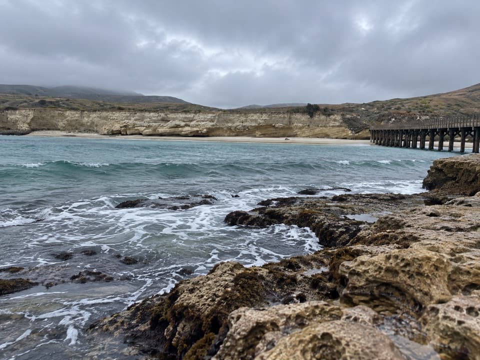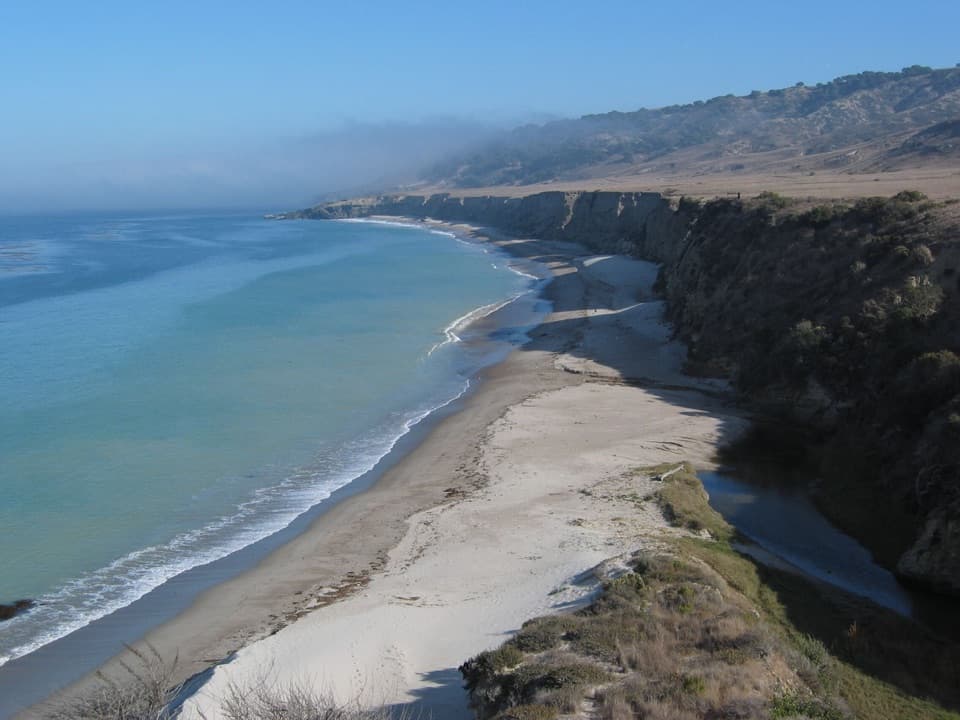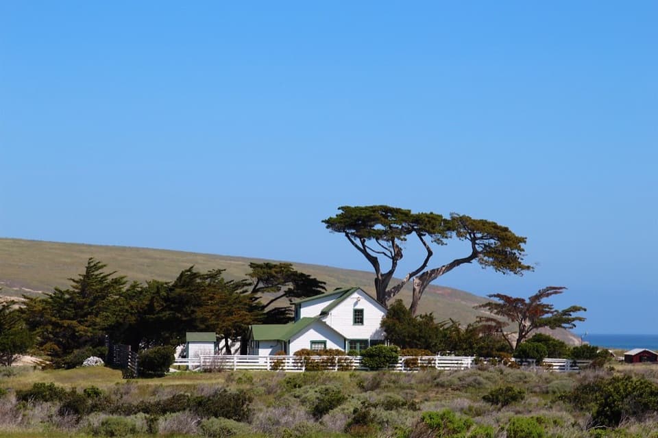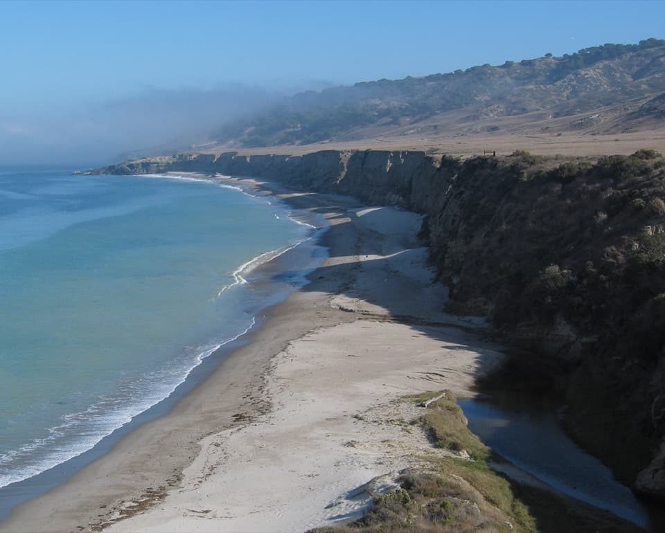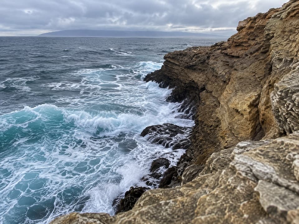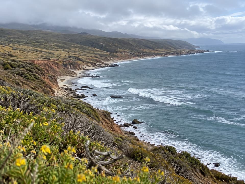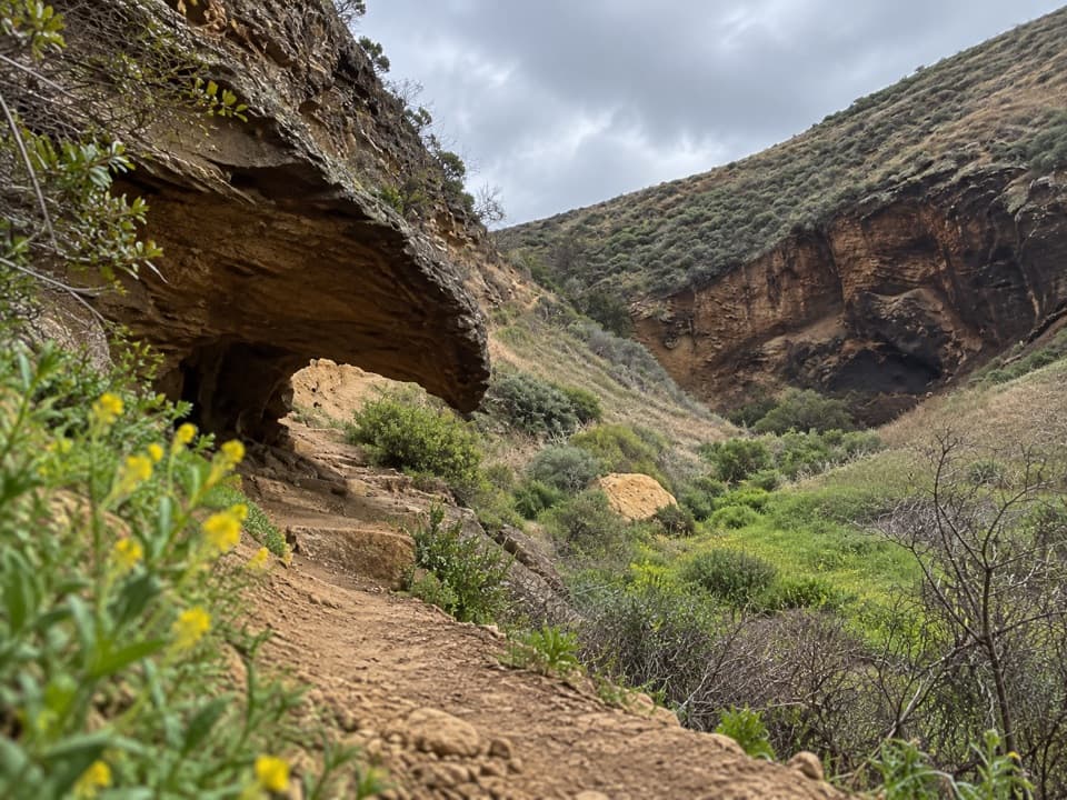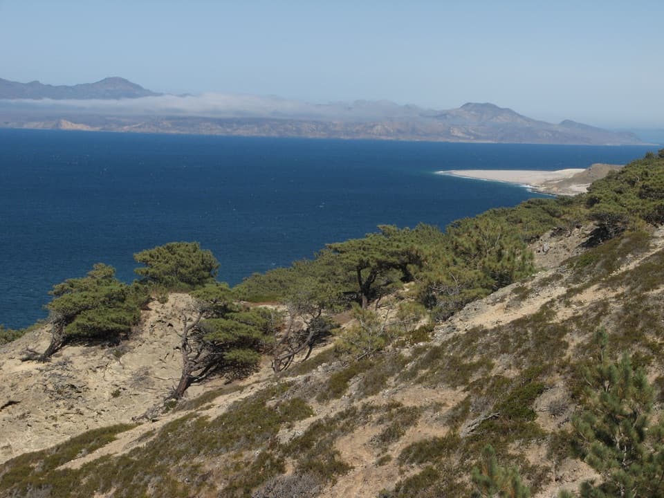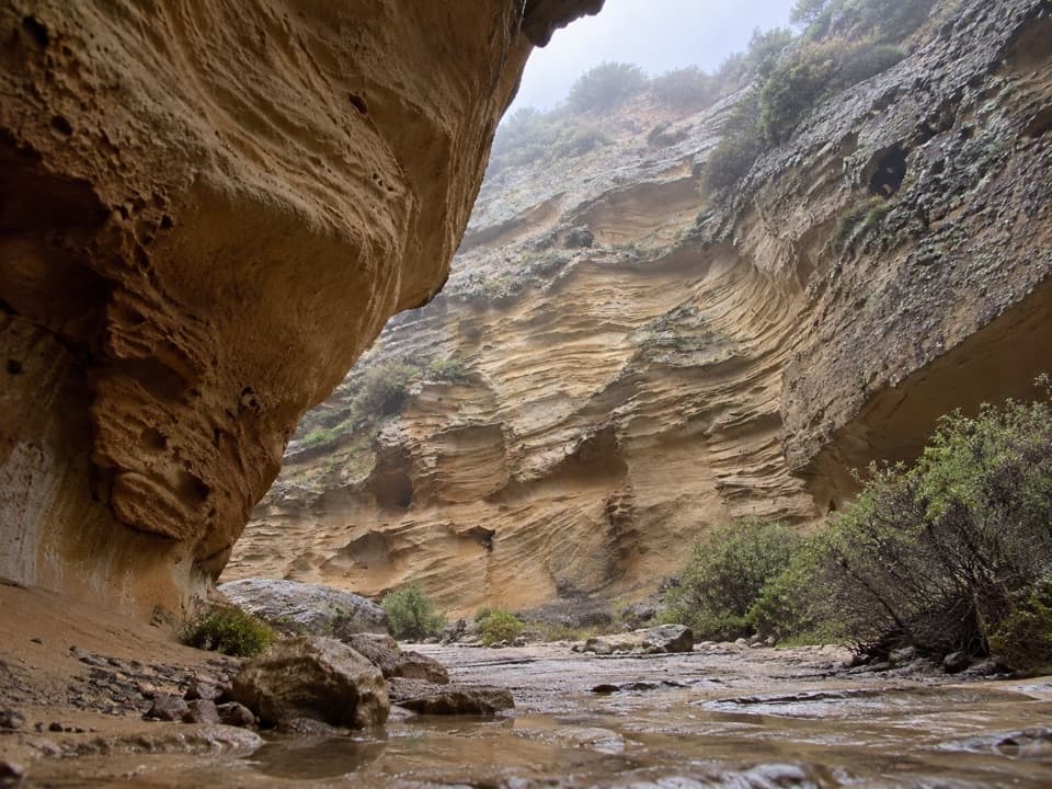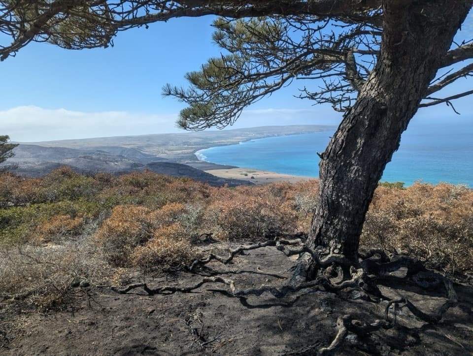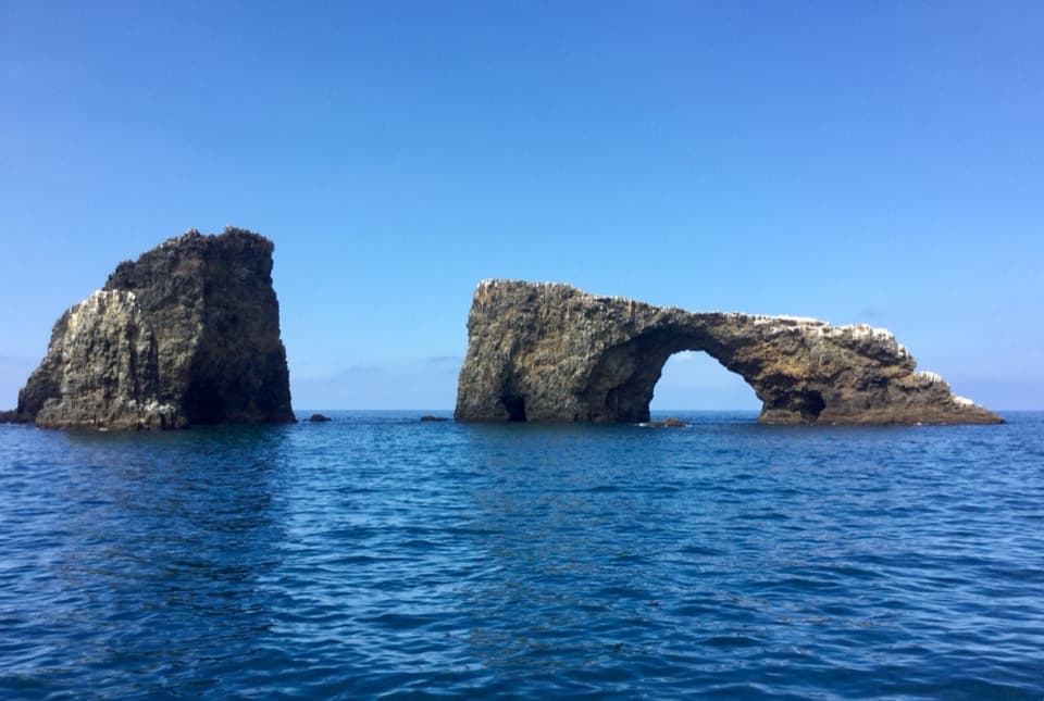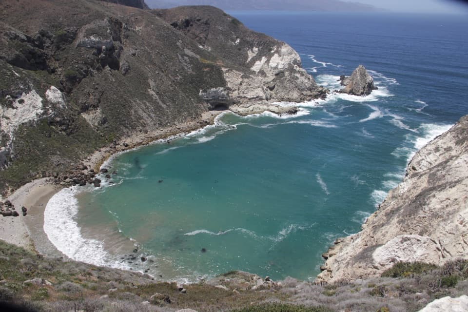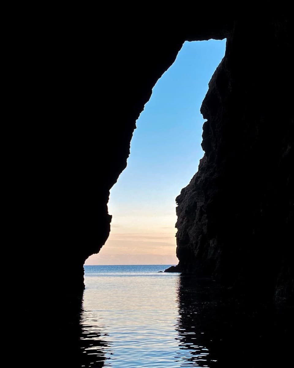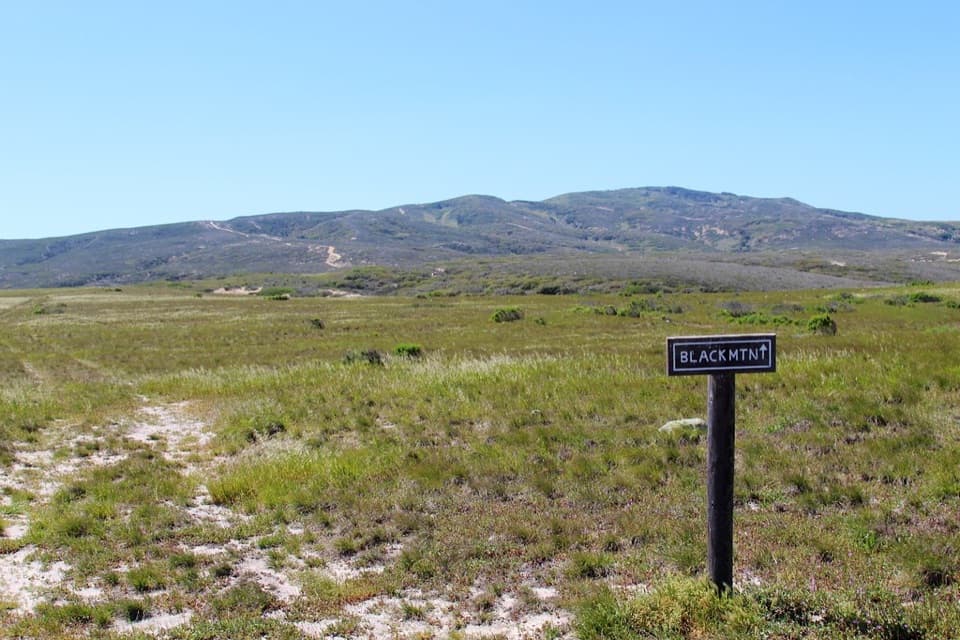
Black Mountain in Channel Islands National Park

Sight · Channel Islands National Park

Black Mountain

A steep summit hike with island-wide views when the fog lifts.

Photo: daveynin, CC BY 2.0

Type
Sight
Nearest trail
2.7 mi
  • #31 of 62 sights

Overview

About Black Mountain

Why stop

  • An island-oak cloud forest and broad views when the fog clears.

Heads up

  • The steep eight-mile outing is too much for most short boat visits.
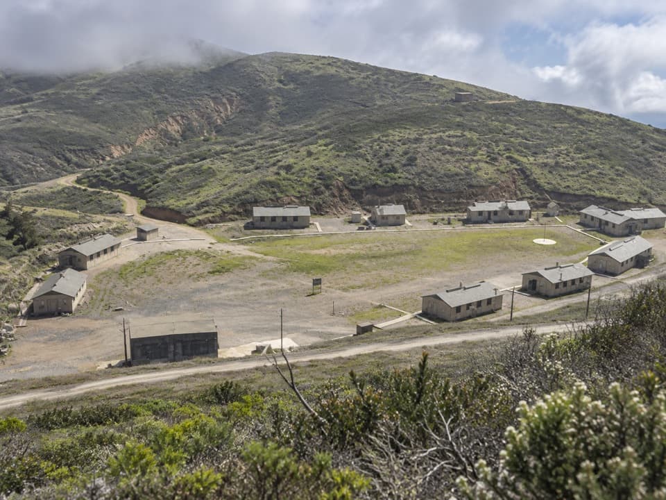
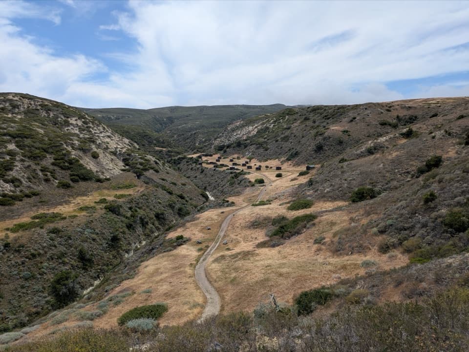
Black Mountain is the 1,298-foot highest peak on the northeast side of Santa Rosa Island. Reaching it from the pier means a long, steep eight-mile round trip rated strenuous by the park. This is a rewarding outing for a serious hiker, but too much to tack onto a short island visit; the park says most boat day visitors don't have enough time ashore to finish it.
Parkwolf’s verdictA summit worth planning around

Map

Where it is

Loading the Channel Islands map
Full map
SightBlack Mountain33.97889, -120.07898
Keep this map with you offline in the Parkwolf app

Plan your stop

Before you go

2 active Channel Islands alerts

  • ClosureSanta Rosa Island wildfire-recovery closuresMentions Santa Rosa Island, referenced in this guideBurned areas on Santa Rosa Island remain closed during wildfire recovery, and Southeast Quadrant backcountry beach camping is closed for the remainder of the 2026 recreation season.Official details
  • InfoSanta Barbara Island dock closed; landings restrictedThe Santa Barbara Island dock is closed; land only on the adjacent rocky ledge.Official details

Channel Islands alerts
A park ranger sits on a dash-mounted phone, talking, as Parkwolf’s Tour Guide plays “Army Cutworm Moths: A Grizzly Bear Buffet” on Grand Loop Road below Dunraven Pass in Yellowstone
Parkwolf Tour GuideThe highest, rockiest slopes around here are a summer buffet for grizzly bears.

Channel Islands Tour Guide

Your drive to Black Mountain, narrated.

Parkwolf is a GPS audio tour guide for Channel Islands National Park. As you drive, it chimes in with what’s ahead: hidden gems, upcoming stops, history, geology, and wildlife, right through your car’s speakers.

See the Channel Islands audio tour
  • 16 audio storiesacross Channel Islands’s roads, triggered by GPS as you drive
  • Wildlife heatmapsfor Island Fox, Humpback Whale, Blue Whale, and 13 more
  • Works offlinemaps, 48 trails, 75 places, and audio download before you lose signal
  • CarPlay readysimple controls built for the drive
★★★★★
“Fantastic app with many points of information… It’s great to just turn on while you’re driving and it gives you an audio tour of the national Park. We love it!!!!”
JMJamesApp Store review
Download Parkwolf on the App StoreGet Parkwolf on Google Play

4.7 from 8,600+ ratings

Guide

More about Black Mountain

A forest that harvests fogWind and fog are common near the top.

Wind and fog are common near the top. The island-oak cloud forest catches fog on twigs and leaves, then lets the moisture drip into the ground—a critical source of summer water for wildlife and the island ecosystem. The woodland is part of the payoff even when clouds hide the view.

An oak with a long island historyThe endemic island oak once grew widely on a warmer, wetter mainland.

The endemic island oak once grew widely on a warmer, wetter mainland. Its fossil record stretches from about two to 60 million years, and today it survives on six islands. Decades of grazing by nonnative animals damaged these woodlands and changed island hydrology; restoration has helped native forest, including young island oaks, recover.

The panorama depends on the weatherWhen the fog lifts, the summit can look across Santa Rosa toward San Miguel and Santa Cruz, and…

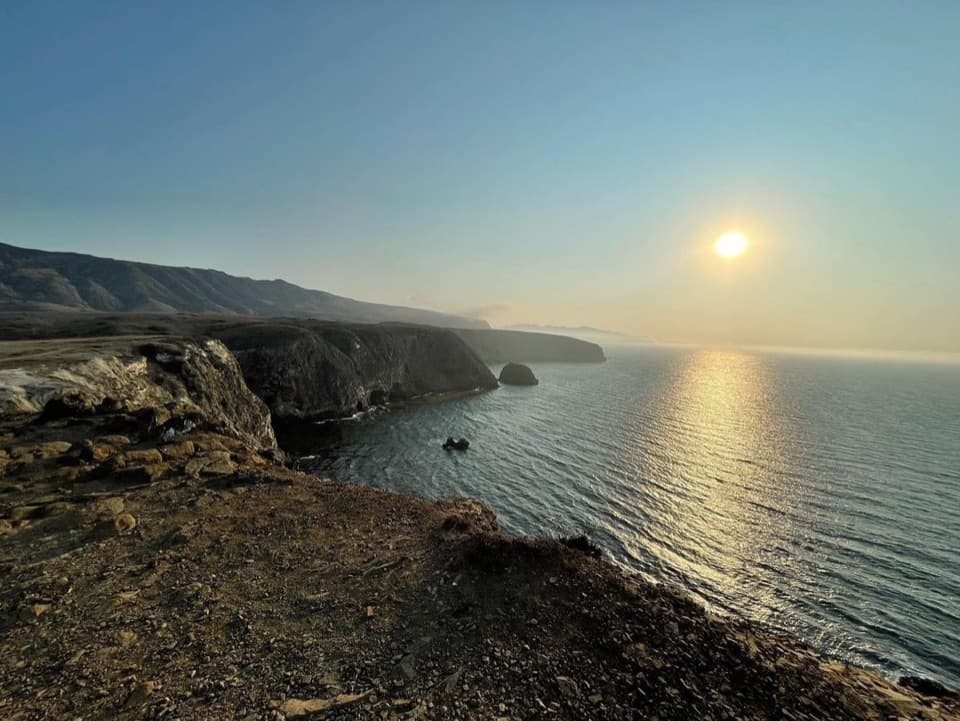
When the fog lifts, the summit can look across Santa Rosa toward San Miguel and Santa Cruz, and out to the mainland. Treat the far-island view as a bonus, not a guarantee. On a clear day, a wide frame takes in the mountain slope and the islands beyond it.

Plan for a self-sufficient hikeThere is no reliable cell service or Wi-Fi on the islands, so download your map before leaving…

There is no reliable cell service or Wi-Fi on the islands, so download your map before leaving the mainland. The summit has no facilities; drinking water is available at the campground and historic ranch area, with flush toilets in the ranch area. Plan to use those facilities before the climb.

Wildlife

Wildlife in Channel Islands

All Channel Islands wildlife maps

Sighting maps show where each species has been reported across Channel Islands. Wildlife moves, so no sighting is guaranteed.

Keep exploring

Near Black Mountain

See it all on the map

Trails nearby

More stops nearby

Parkwolf’s Channel Islands ranking

Top sights in Channel Islands

All 75 places
  1. 1Inspiration PointSight
  2. 2Scorpion Anchorage and BeachBeach
  3. 3Arch RockSight
  4. 4Potato Harbor OverlookSight
  5. 5Painted CaveSight
  6. 6Cavern PointSight

Take Parkwolf to Channel Islands.

The audio tour guide for the drive, plus offline maps, trails, and wildlife heatmaps for when the signal drops.

4.7 from 8,600+ ratings

Download Parkwolf on the App StoreGet Parkwolf on Google Play