Pinnacle Balanced Rock in Chiricahua National Park

#7 of 14 sights in Chiricahua

Sight · Chiricahua National Park

Pinnacle Balanced Rock

A top-heavy tower, earned by a long walk into the hoodoos.

Photo: National Park Service
Type
Sight
Nearest trail
1 mi
Audio stories
8 nearby
  • Scenic viewpoint

Hear the audio tour

Echo Canyon Grottoes

Overview

About Pinnacle Balanced Rock

Why stop

  • A famous balancing form among a run of named hoodoos

Heads up

  • A challenging, rocky 7.3-mile round trip

Map

Where it is

Loading the Chiricahua map
Full map
SightPinnacle Balanced Rock31.99552, -109.32321
Keep this map with you offline in the Parkwolf app

Plan your stop

Before you go

3 active Chiricahua alerts

  • CautionRabies warning for wild animalsRabies has been detected in Southeast Arizona; do not approach, feed, or touch wild animals.Official details
  • InfoVehicle and trailer limits on Bonita Canyon DriveCheck vehicle length before continuing past Faraway Ranch Parking; there is no large-vehicle turnaround farther up Bonita Canyon Drive. The road narrows and winds steeply up the mountain.Official details

See all 3 alerts
A park ranger sits on a dash-mounted phone, talking, as Parkwolf’s Tour Guide plays “Army Cutworm Moths: A Grizzly Bear Buffet” on Grand Loop Road below Dunraven Pass in Yellowstone
Parkwolf Tour GuideThe highest, rockiest slopes around here are a summer buffet for grizzly bears.

Chiricahua Tour Guide

Your drive to Pinnacle Balanced Rock, narrated.

Parkwolf is a GPS audio tour guide for Chiricahua National Park. As you drive, it chimes in with what’s ahead: hidden gems, upcoming stops, history, geology, and wildlife, right through your car’s speakers.

Recorded for this place

Echo Canyon Grottoes
0:00 / 0:26
“Up ahead is the Echo Canyon trailhead, where a short hike takes you into the Grottoes' narrow stone passages. For a taste of the rock maze, choose the one-point-two-mile round trip and allow thirty to sixty minutes.”

Plays as you drive up to Pinnacle Balanced Rock in the Parkwolf Chiricahua Tour Guide.

More stories near here in the app

  • Massai Point
  • Sugarloaf’s Lava Cap
  • Sugarloaf Mountain Lookout
  • A Woodpecker’s Pantry
  • 26 audio storiesacross Chiricahua’s roads, triggered by GPS as you drive
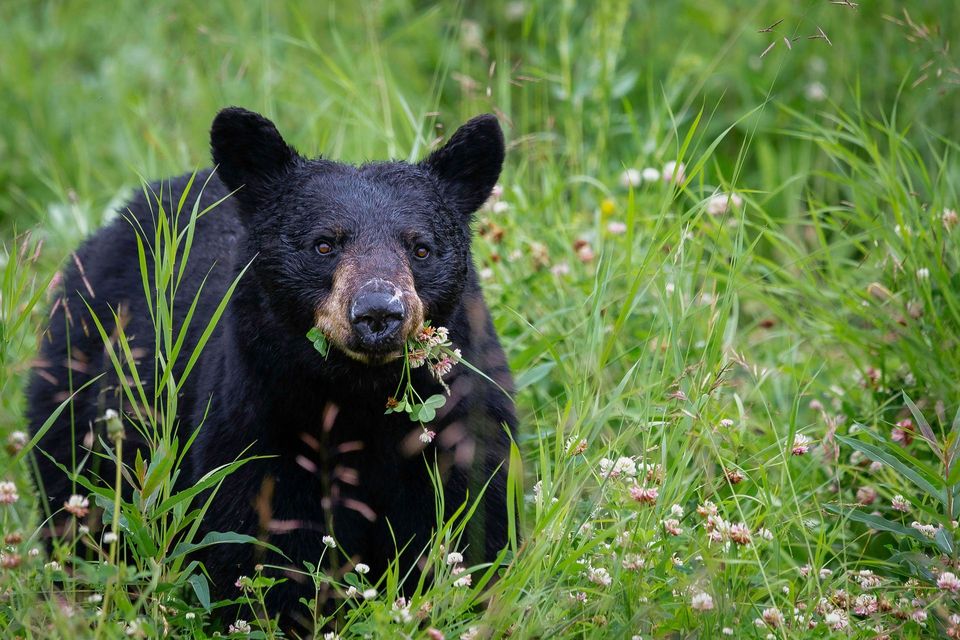
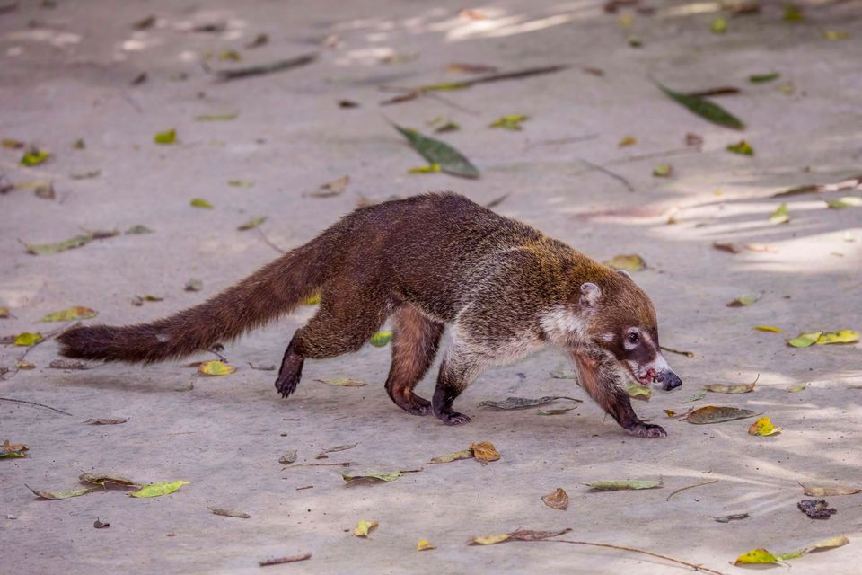
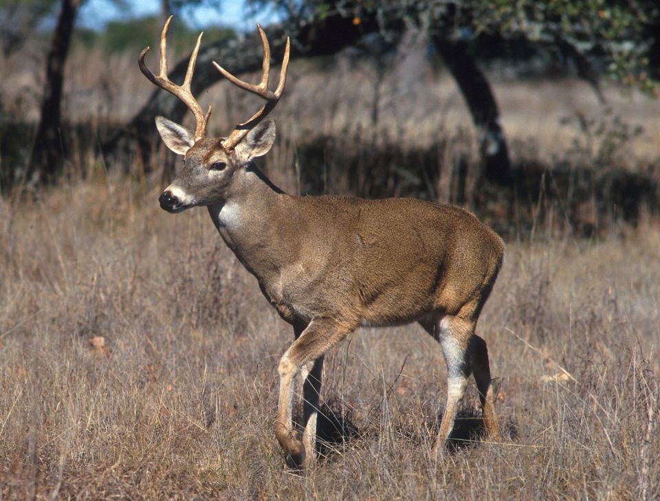
  • Wildlife heatmapsfor Black Bear, White-nosed Coati, White-tailed Deer, and 13 more
  • Works offlinemaps, 14 trails, 17 places, and audio download before you lose signal
  • CarPlay readysimple controls built for the drive
★★★★★
“Fantastic app with many points of information… It’s great to just turn on while you’re driving and it gives you an audio tour of the national Park. We love it!!!!”
JMJamesApp Store review
Download Parkwolf on the App StoreGet Parkwolf on Google Play

4.7 from 8,600+ ratings

Guide

More about Pinnacle Balanced Rock

A balanced rock among the hoodoosPinnacle Balanced Rock is a towering hoodoo in Chiricahua's Heart of Rocks Loop, one of the…

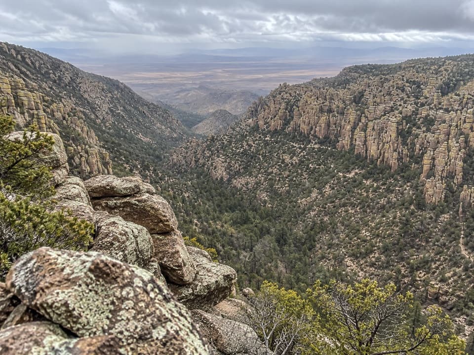
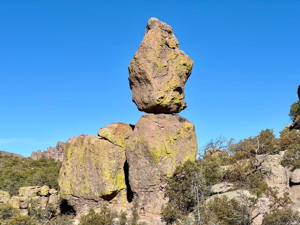
Pinnacle Balanced Rock is a towering hoodoo in Chiricahua's Heart of Rocks Loop, one of the area's best-known formations. A broad stone cap balances on a narrower pedestal, with other spires clustered around it. It is a separate stop from nearby Big Balanced Rock. Come for the close-up rock scenery, but plan for a real hike rather than a quick pullout.

Make the hike part of the planThree trail approaches reach the Heart of Rocks circuit, each about 7.3 miles round trip.

Three trail approaches reach the Heart of Rocks circuit, each about 7.3 miles round trip. The route is challenging and has many rock steps; hike clockwise for the best views and easier walking. Carry food, water, a map and suitable clothing for the full outing. Pets are not allowed on the Heart of Rocks trail, and climbing the rock pinnacles is prohibited.

A procession of stone charactersPinnacle is near the start of the clockwise circuit.

Pinnacle is near the start of the clockwise circuit. Old Maid and Camel's Head follow, with Thor's Hammer and a view toward Cochise Head farther along; Punch and Judy mark the route's 6,920-foot high point. The named shapes make the hike feel like a sequence of discoveries rather than one viewpoint and a walk back.

How the towers formedThe pinnacles are carved from welded Rhyolite Canyon Tuff, deposited by eruptions at the Turkey…

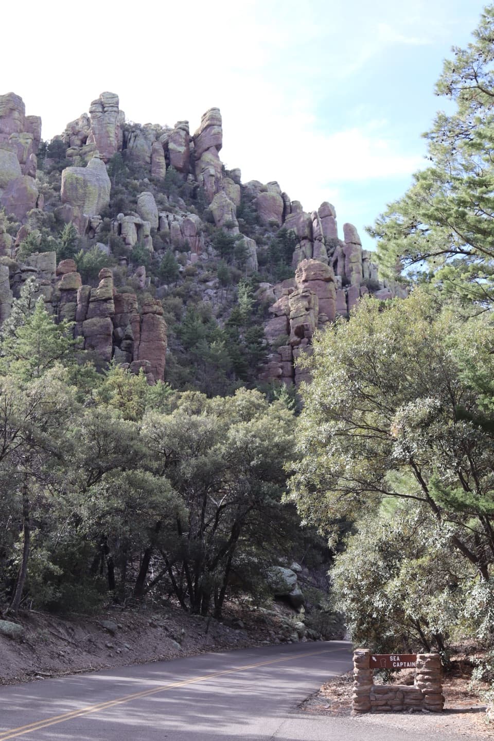
The pinnacles are carved from welded Rhyolite Canyon Tuff, deposited by eruptions at the Turkey Creek caldera about 26.9 million years ago. As the volcanic rock cooled, cracks let water work into it; weathering and repeated freezing and thawing gradually opened those joints into columns, spires and balanced forms.

Frame the balanceKeep the supporting pedestal in the frame so the gap beneath the upper stone reads clearly.

Keep the supporting pedestal in the frame so the gap beneath the upper stone reads clearly. Other hoodoos and the surrounding pines give the formation scale; the view is more distinctive when you show its setting rather than isolate it against the sky.

Wildlife

Wildlife in Chiricahua

All Chiricahua wildlife maps

Sighting maps show where each species has been reported across Chiricahua. Wildlife moves, so no sighting is guaranteed.

Keep exploring

Near Pinnacle Balanced Rock

See it all on the map

Trails nearby

More stops nearby

Parkwolf’s Chiricahua ranking

Top sights in Chiricahua

All 17 places
  1. 1Massai PointSight
  2. 2Faraway RanchSight
  3. 3Big Balanced RockSight
  4. 4Echo Canyon GrottoesSight
  5. 5Sugarloaf Mountain Fire LookoutSight
  6. 6Inspiration PointSight

Take Parkwolf to Chiricahua.

The audio tour guide for the drive, plus offline maps, trails, and wildlife heatmaps for when the signal drops.

4.7 from 8,600+ ratings

Download Parkwolf on the App StoreGet Parkwolf on Google Play