
Place
Moderate
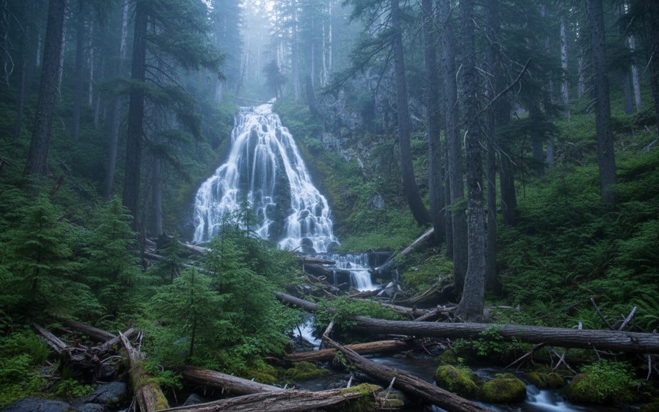
If you’re craving solitude away from the rim crowds, Stuart Falls delivers a quiet, forested ramble to a pretty 40‑foot cascade on the park’s remote south side. Most hikers reach it via the Pacific Crest Trail near the Annie Springs entrance off Highway 62. Expect a moderately challenging day with some rough tread and light route‑finding. Typical distance for this outing runs about 8.9 miles round trip depending on your exact start and connectors.
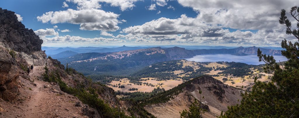
This is classic southern Cascades forest: stands of Shasta red fir, mountain hemlock, and lodgepole pine, with thimbleberry thickets and alder near drainages. Keep an eye out for impressive Douglas‑firs—some scarred from a 2008 fire—along portions of the route. Southward views open toward Union Peak and, on clearer stretches, the distant cone of Mount McLoughlin. The finale is Stuart Falls, a roughly 40‑foot sheet tumbling down a dark rock face into a cool, shaded grotto.
This is a lightly traveled, backcountry‑feeling hike. Parts of the path can be overgrown, with brushy sections, washouts, gullies, and the occasional tangle of downed trees that slow progress. Tread can fade in places, especially after storms or heavy snow years, so bring a map and GPS and expect minor route‑finding. Near the falls you’ll find a pleasantly shady camp area beneath tall hemlocks—an inviting spot to linger for lunch.
Late July through early October is the sweet spot. Snow can linger into early summer, and access can be unreliable or snowed in from October through late June. For the waterfall at its best—and good wildflowers—aim for late spring into early summer, but be ready for snow patches early in the season. By late summer, flow can drop to a trickle. Fall adds color and fewer bugs, with stable weather windows.
Access from the Annie Springs entrance off Highway 62 via the PCT; minimal facilities at access points, no restrooms or water.
Remote, lightly trafficked route with brushy, washed-out sections and downed trees; snow can linger into early summer. Seasonal water sources—carry enough. Navigation tools recommended. No pets.
Place
Place
Place
Place
Moderate
Challenging
Challenging
Moderate

Parkwolf Tour Guide
