Parking
Cleetwood Cove Trailhead parking area on East Rim Drive, 4.6 miles from North Junction.
#4 of 34 trails in Crater Lake
Crater Lake National Park, OR
A rare walk to the water, with a serious climb back out.
Overview
Map & elevation
Plan your hike

The highest, rockiest slopes around here are a summer buffet for grizzly bears.
Crater Lake Tour Guide
Parkwolf is a GPS audio tour guide for Crater Lake National Park. As you drive, it chimes in with what’s ahead: hidden gems, upcoming stops, history, geology, and wildlife, right through your car’s speakers.
See the Crater Lake audio tourRecorded for this trailhead
Cleetwood Cove Trailhead“You're coming up on Cleetwood Cove Trailhead, the start of the only legal walking route down to the lake when the trail is open.”
Plays as you drive up to this trailhead in the Parkwolf Crater Lake Tour Guide.
More stories near here in the app
“Fantastic app with many points of information… It’s great to just turn on while you’re driving and it gives you an audio tour of the national Park. We love it!!!!”


Trail guide
Cleetwood Cove is a 2.2-mile round-trip out-and-back from East Rim Drive to Crater Lake’s boulder shore and back up. The 1.1-mile descent loses about 700 feet; every one of those feet is waiting on the return. It’s the park’s only legal walking access to the lake, so I’d do it if standing at the water matters to you. If a steep, loose climb is a poor fit, enjoy the lake from the rim instead. Allow about 2 to 3 hours for the hike with rests, plus whatever time you want at the shore.
The trail drops through a long run of switchbacks on crushed pumice, a fine, sandy tread that can slide underfoot when dry. It’s only partly shaded. The descent can feel easy enough to tempt you into rushing; set a steady pace and save some energy for the uphill. The park compares the climb back to about 65 flights of stairs. Stop at the benches when you need them, and bring water and a snack for the return.
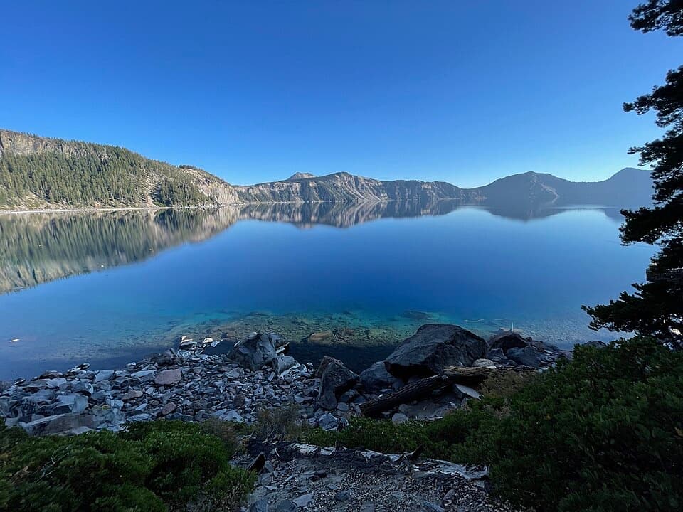
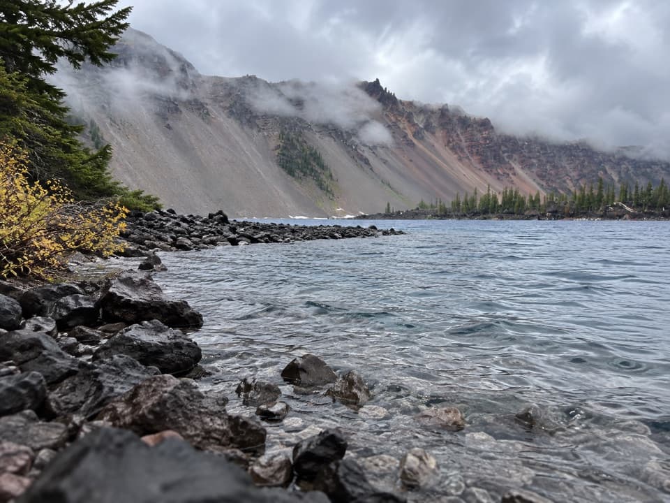
At the bottom, the path reaches a boulder-strewn landing with no sandy beach and no shade. This is a close look at Crater Lake’s clear, deep-blue water, but getting down doesn’t make the shore an easy place to linger. Vault toilets are at both the trailhead and lakeshore. If you swim or wade, stay within 100 yards of Cleetwood Cove and at least 50 feet from boats, docks, and buoys.
For a photo, use the foreground rocks to show how close the water is, with the caldera rim reflected beyond them. On the way down, the benches give you a place to pause and take in the lake before you turn around.
The trail cuts down the steep inner wall of Mount Mazama’s caldera. About 7,700 years ago, a huge eruption emptied the volcano’s magma chamber and the summit collapsed; the lake fills part of the resulting crater. The exposed wall is layered with old lava and volcanic deposits. Keep to the tread here: loose soil and rocks can tumble onto hikers below, and the surrounding vegetation is fragile.
Before this route was built, the park’s shore access came from Rim Village, roughly 900 feet above the water. Growing visits and boat-tour traffic created crowding and parking pressure, while the old north-facing route held snow late and took days of hand shoveling to clear. Work on the present trail began in July 1958; regrading the steep sections delayed its completion until September 1962. It still needs work after the snow melts each year.
Start at the Cleetwood Cove Trailhead parking area on East Rim Drive, 4.6 miles from North Junction. The usual hiking season is roughly mid-June through late October, depending on snow and the park’s road and trail assessment, so check current conditions before driving out. Pets and wheeled devices aren’t allowed. There are a few benches along the route; bring water and a snack for the uphill.
Wildlife
 16 sightingsBlack BearMost seen around 8 PMSighting map
 178 sightingsMule DeerMost seen around 7 PMSighting map
 26 sightingsCommon RavenMost seen around 9 AMSighting map
 33 sightingsTurkey VultureMost seen around 1 PMSighting map
 47 sightingsRed-tailed HawkMost seen around 11 AMSighting map
 71 sightingsCascades FrogMost seen around 5 PMSighting map
Sighting maps show where each species has been reported across Crater Lake. Wildlife moves, so no sighting is guaranteed.
Keep exploring
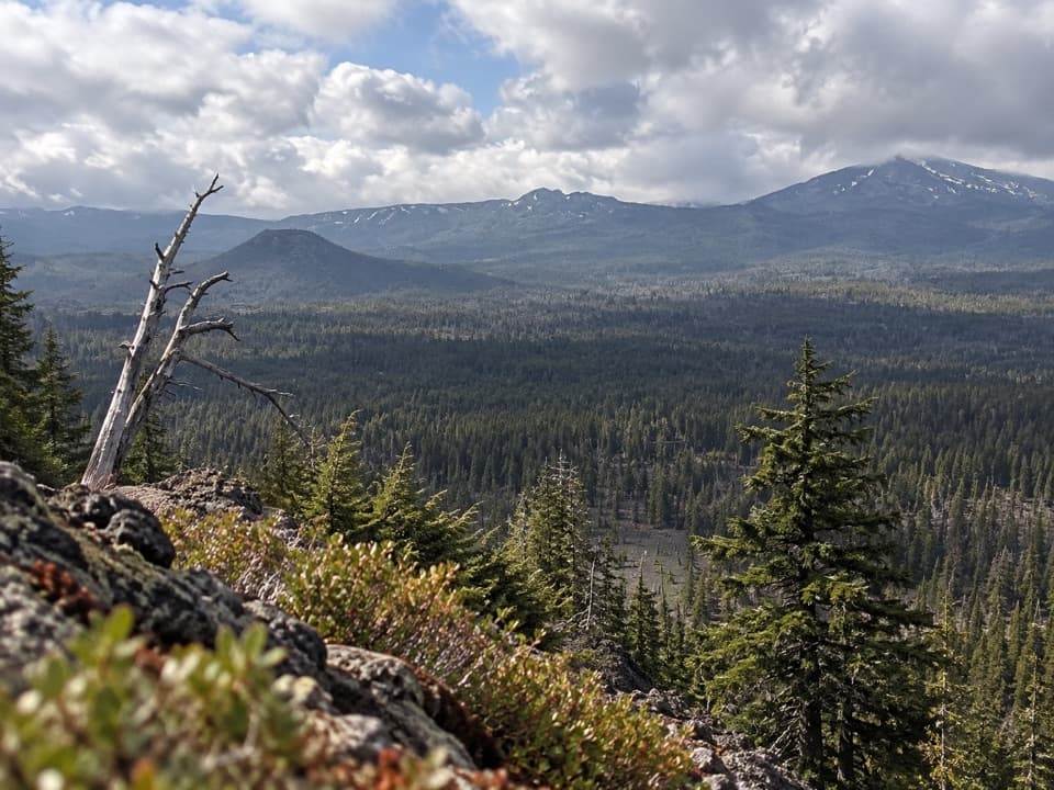 ChallengingBald Crater Loop Trail20.3 mi · 11 hr · 2.9 mi awayA 20-mile PCT approach to a rolling loop and fragile wetland.
 ModerateRed Cone Trail7.2 mi · 3 hr · 2.9 mi awayA long, exposed walk through burned ground north of Red Cone.
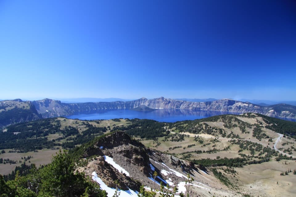 ChallengingMount Scott Trail4.4 mi · 3 hr · 4.4 mi awayClimb for the park’s only full-lake view.
 ModerateWizard Island Summit Trail2.4 mi · 1.5 hr · 4.6 mi awayA steep volcanic climb to a crater above the lake.
 EasyFumarole Bay Trail1.5 mi · 1 hr · 4.6 mi awayA rocky Wizard Island shore walk to a clear, shallow bay.
 ModerateWatchman Peak Trail1.6 mi · 1 hr · 5 mi awayA short climb to a 1930s lookout above Wizard Island
 ModerateLightning Spring Trail8.4 mi · 4.5 hr · 5.4 mi awayA spring breaks up the long descent from the rim.
 ChallengingSmall PCT Loop24.8 mi · 12 hr · 5.4 mi awayRim views and remote PCT miles make this a real loop.Sight · 0.4 mi awayCleetwood CoveOnly legal shore access, with a strenuous climb back out.
 Picnic area · 0.9 mi awayPumice Point Picnic AreaA table stop to break up the north Rim Drive.
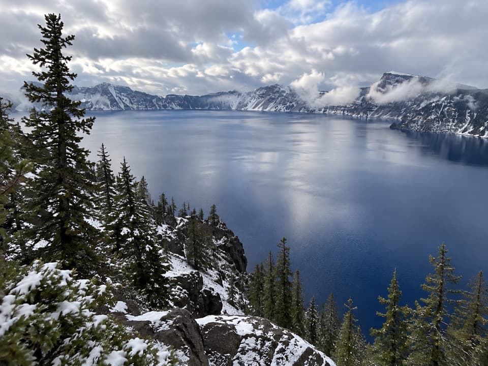 Sight · 1 mi awayPalisades OverlookA quick look down to Cleetwood Cove from the East Rim
 Scenic pullout · 1.1 mi awayPumice Point OverlookA white pumice cliff adds a geology stop to the rim drive.
 Picnic area · 1.7 mi awaySteel Bay Picnic AreaAn easy picnic break above Steel Bay on the north rim.
 Scenic pullout · 2.4 mi awayGrotto Cove OverlooksTwo roadside overlooks where the view reaches past the rim to Thielsen.
 Scenic pullout · 2.8 mi awaySkell Head OverlookA roadside lake view with a glacial oddity in the rock.
 Sight · 3.6 mi awayMerriam PointThe north road's first lake reveal, with Wizard Island in view.
Parkwolf’s Crater Lake ranking

The audio tour guide for the drive, plus offline maps, trails, and wildlife heatmaps for when the signal drops.